
Dear friends, we would like to thank you for the pleasant collaborations in 2014. We are looking forward to working with you in the upcoming year! Our best wishes for a pleasant holiday season and a prosperous New Year!
Dear friends, we would like to thank you for the pleasant collaborations in 2014. We are looking forward to working with you in the upcoming year! Our best wishes for a pleasant holiday season and a prosperous New Year!
On Friday, December 5, three of our students successfully completed their studies in the International Master of Cartography (2nd intake) by presenting their theses:
Congratulations and all the best for your future!
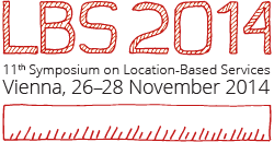
The 11th International Symposium on Location-Based Services (LBS 2014) took place at TU Vienna from 26 to 28 November 2014. After its initiation at TU Vienna in 2002, the conference travelled around the world – with venues in Salzburg, Munich, Nottingham, Hongkong and Shanghai. In 2014, the conference was once again organized by the Research Group Cartography.
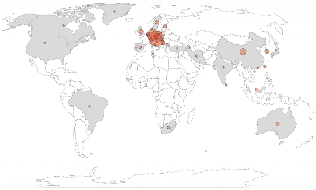
This year, 140 participants from 37 countries joined the conference:
![]() The LBS conference was held in conjunction with the Second International Symposium on Service-Oriented Mapping (SOMAP 2014). We also organized a hands-on workshop on Open Source GIS and Modern Webmapping on November 24–25, immediately before the main conference.
The LBS conference was held in conjunction with the Second International Symposium on Service-Oriented Mapping (SOMAP 2014). We also organized a hands-on workshop on Open Source GIS and Modern Webmapping on November 24–25, immediately before the main conference.
Program and proceedings can be found on lbs2014.org.
Anita Graser compiled a great summary of the conference on Storify – thx!
Wir laden Sie herzlich zur Präsentation von zwei Bachelorarbeiten am Dienstag, 25. November 2014, 13Uhr, ein.
Ort: Erzherzog-Johann-Platz 1, 4. Stock, Besprechungszimmer des Dekanats für Informatik
One of our students – Felix Zaussinger, a bachelor student of Geodesy and Geoinformation – created a nice movie on the omnipresence of maps in his life. Well done, Felix!
So, how much map is in your day?
Below is a list of possible topics for bachelor’s and master’s theses from our group. In case of interest, please contact the underlined supervisor.
Die Anforderungen eines qualitativen Kartenerstellungsprozesses (z.B. für Wander- und Freizeitkarten großen und mittleren Maßstabes) erfordern derzeit noch den Einsatz unterschiedlicher Tools aus GIS- und DTP-Systemen. Mit einem österreichischen Kartenverlag sollen unterschiedliche Vorschläge zur Erhöhung der Effizienz im Produktionsablauf für kartographische Bearbeitungsprozesse erarbeitet werden.
Die Stile einer bestehenden Basiskarte sollen zunächst systematisch erfasst (z.B. mit Hilfe von ScaleMaster-Tabellen) und im Anschluss mit OpenStreetMap-Daten umgesetzt werden.
Mittlerweile gibt es eine Reihe frei verfügbarer Grenzdatensätze für Österreich. Von dem weltweit verfügbaren Datensatz Natural Earth über verschiedene aus OpenStreetMap abgeleitete Geometrien, bis hin zu Datensätzen aus administrativen Quellen (BEV, Länder-GIS). In der Arbeit sollen die Unterschiede der Datensätze (Qualität, Aktualität, Lizenz, Provenienz, Verfügbarkeit von Metadaten) herausgearbeitet und einfach verständlich unter CC-Lizenz aufbereitet werden.
Route planning is a basic element in navigation, and aims at computing an optimal route between an origin and a destination. Current indoor route planners often provide users with shortest routes. This research will explore methods to provide routes with other characteristics, such as simplicity and fewest-turns. The main building of TU Wien (or other similar public places) will be used as a test area.
Currently, semantic-enriched navigation systems become more and more popular. Instead of providing metric-based route instructions such as “walk straight in 100 meters”, semantic-based navigation systems provide users with semantic-enriched instructions, such as “walk straight, pass the theatre, and walk to the crossing” or simply “cross the park”. This kind of guidance is more natural to users, and can improve users’ navigation performances. However, current literature only addresses semantic wayfinding for outdoor environment, while the applications in indoor environment have not been approached. This research aims at answering some fundamental questions of indoor semantic wayfinding , such as “what is an indoor landmark?” and “what are the direction and motion concepts used in indoor naivgation?” Methodology and approaches (mainly, field user study) from our previous research project SemWay (mainly for outdoor, refer to the following papers for more details) will be reused for indoor environment. The answers to these fundamental questions can be assembled to build semantically enriched indoor navigation systems.
Rendering diagrammatic and small-scale maps, like depictions of country-wide road or railway networks, requires the generalization of overly detailed geometry as well as the consistent reproduction of network topologies of large geographic extent. In contrast to these requirements, data created in volunteered geographic information (VGI) systems like OpenStreetMap exposes a high level of local geometric and semantic detail, large individual differences in data annotation styles and fragile topological integrity.
The goal of this project is to develop methods for extracting the necessary information to create high-quality diagrammatic & schematic maps from VGI data, to identify relevant use cases and their specific requirements (e.g. road, rail, river networks), to review the literature for suitable approaches and to suggest guidelines for the volunteered geographic information community to improve the data to better support such representations if necessary.
Im Gegensatz zu Isochronen sind lineare Kartogramme eine selten angewandte kartographische Methode. Mittels NutzerInnen-Test sollen die Stärken und Schwächen der Methode im Vergleich zur Isochronen-Darstellung ermittelt werden.
On 21 August 2014, Jan Behrens, student from the International Master in Cartography (2011 intake), successfully completed his master studies by presenting his thesis on the topic of
„Testing the Usability of OpenStreetMap’s iD Tool“
Congratulations, Jan!
His thesis can be online accessed from the TU library.
Unfortunately, Corné van Elzakker from ITC Enschede, who was as an external supervisor for Jan’s thesis could not attend the presentation. We would like to thank him for his excellent support and are looking forward to future cooperation!
![]() I am happy to inform you that the International Master Programme Cartography – our joint master degree in cooperation with TU Munich, TU Vienna and TU Dresden focusing on modern cartography – has been selected for Erasmus+ by the Education, Audiovisual and Culture Executive Agency. Out of 58 submitted applications, we are one of 9 successful joint master degrees in the “Erasmus Mundus” section.
I am happy to inform you that the International Master Programme Cartography – our joint master degree in cooperation with TU Munich, TU Vienna and TU Dresden focusing on modern cartography – has been selected for Erasmus+ by the Education, Audiovisual and Culture Executive Agency. Out of 58 submitted applications, we are one of 9 successful joint master degrees in the “Erasmus Mundus” section.
This means that the International Master in Cartography will be supported by the European Union’s Erasmus+ programme, allowing also the University of Twente to join in. The 5 year grant will help to support a preparatory year (starting in October 2014), followed by three student intakes (2015, 2016, 2017).
The evaluation pointed out the excellence of the exisiting teams in Munich, Vienna and Dresden as well as the professional structure and cooperation. It was also highlighted that the “unique selling point” in offering a Master Programme in Cartography is seen as a most successful strategy.
– Georg Gartner
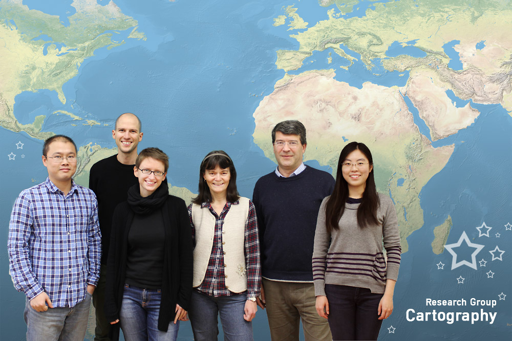
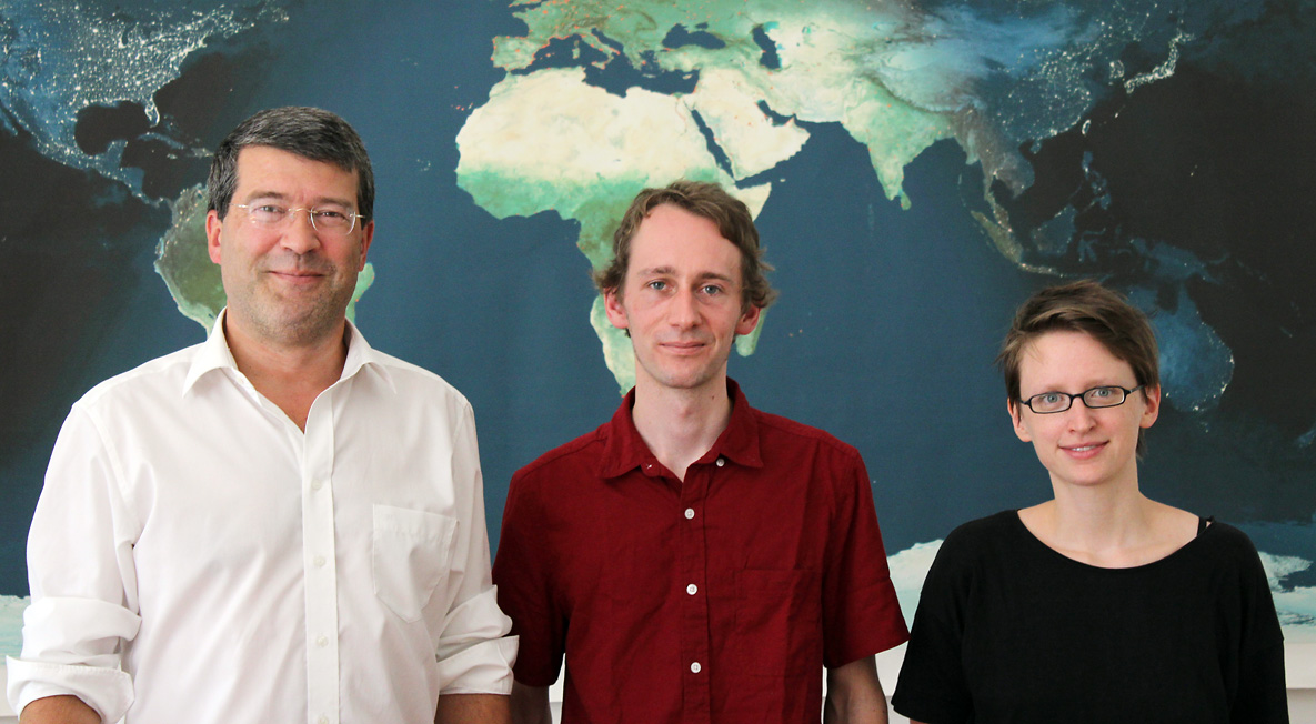
We are happy to introduce our new team members: Timea Turdean, Florian Ledermann and Wangshu Wang. Timea and Florian will both work in the genderATlas project.

Florian Ledermann started working in our group in June. He has previous research experience in the fields of virtual/augmented reality and information visualization. As a freelance web developer, Florian implemented award-winning web applications for several institutions and independent projects. In the genderATlas project he is responsible for building the technical framework for the atlas.

Timea Turdean started working in our group in May. She wrote her diploma thesis on the topic of Identifying people’s affective responses to the environment from social media data. In the genderATlas project she focusses on social media data analysis.

Wangshu Wang completed the International Master in Cartography. She wrote her diploma thesis on the topic of Modeling individual’s familiarity of places using social media. She received a PhD scholarship from China Scholarship Council and will work in our group on her PhD in the field of location-based services and cartography.
Welcome!
The summer semester is over. Once again, we would like to showcase a small selection of extraordinary projects from the classes Webmapping, Multimedia Cartography and Project Map Creation:
A huge thanks to all students for their creativity and dedication – you brighten our work days! Good luck for your further studies and career!