CartoTalk David Fairbairn: Archaeological landscape characterisation using LiDAR data

We are happy to invite you to a CartoTalk by our guest professor David Fairbairn from Newcastle University. The CartoTalk is organized in conjunction with the research seminar of the Research Group Photogrammetry.

Archaeological landscape characterisation using LiDAR data

Abstract: The contemporary availability of high-resolution, high-accuracy digital terrain models sourced from LiDAR data collection exercises has allowed archaeologists and other landscape scientists to examine landscapes of interest in more detail and in a more quantitative manner.  This talk describes some initial examination of human-influenced (i.e. disturbed) landscapes in northern England from various periods in history, with reference to LiDAR-sourced data, and speculates whether it will be possible to use further non-geometric characteristics of the LiDAR data to derive additional information about such landscapes.  The methods of representation of such disturbed landscapes are also considered.

David Fairbairn has been employed by the Newcastle University since 1978. A wide variety of geospatial data handling issues have been of research interest over that period, including the structuring and presentation of terrain data, the quantification and use of indices of map complexity, the effective visualisation of map designs, the linkage between mapping and navigation, and issues connected to crowdsourcing and cartographic requirements for SDIs.

Tuesday, 26 May 2015, 14:00, Seminar room 122
Gusshausstraße 27-29, 3rd floor, wing CC
Nachschau des TU200-Orientierungslaufs

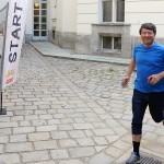
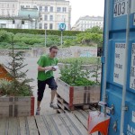
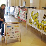
Anlässlich des 200-Jahr-Jubiläums der Technischen Universität Wien organisierte die Forschungsgruppe Kartographie des Departments für Geodäsie und Geoinformation gemeinsam mit dem Orientierungslaufverein OL Ströck Wien einen Orientierungslauf rund um das Hauptgebäude der TU Wien. Bei bestem Wetter nahmen mehr als 100 TU-KollegInnen daran teil.

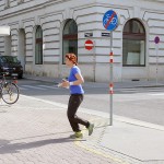
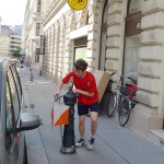
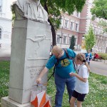
Viele davon versuchten sich erstmals im Orientierungslauf. Beinahe alle wurden schon bald vom OL-typischen Ehrgeiz gepackt, die auf einer extra angefertigten Orientierungslaufkarte im Maßstab 1:3.000 eingezeichneten Kontrollposten möglichst rasch zu finden. Dabei mussten Innenhöfe durchquert werden, Routenwahlen getroffen werden und die an diversen TU-relevanten Punkten angebrachten Kontrollpunkte durch einen am Finger angebrachten Chip ausgelöst werden.

TU200-Orientierungslauf: Georg Gartner TU200-Orientierungslauf TU200-Orientierungslauf TU200-Orientierungslauf TU200-Orientierungslauf TU200-Orientierungslauf

Die schnellsten Laufzeiten durch Alexander Berger (Physik), Martin Pongratz (Elektrotechnik) und Franz Glaner (Geodäsie und Geoinformation) betrugen knapp über 5 Minuten. Diese Läufer sind allerdings “Orientierungslaufprofis”, wie es generell erstaunlich viele TU-Angehörige gibt, die Orientierungslauf betreiben. Vielleicht ist die Kombination aus physischer und mentaler Herausforderung dabei besonders attraktiv.

Die besten Läufer unter jenen, die OL zum ersten Mal betrieben haben, waren:

Damen:

  • Lydia Jahn (E226) 7:54
  • Anita Gerstenmayer (ASC) 8:38
  • Aleksandra Draksler (E120/6) 10:10

Herren:

  • Andreas Bauernfeind (KUS ÖBV) 5:11
  • Benedikt Regner (Student) 6:17
  • Matus Trnovec (Eletrotechnik) 7:01

Teams:

  • SC 42 Kitzbühel 7:04
  • E206/4 7:15
  • E230, DK URBEM 8:27
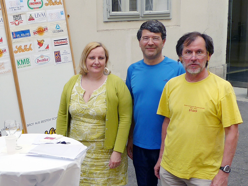
Siegerehrung mit Susanne Schwinghammer vom TU200-Büro, Georg Gartner und Paul Grün der OL-Gruppe Ströck Wien
Organisatorenteam: Susanne Schwinghammer vom TU200-Büro, Georg Gartner, Professor für Kartographie und Paul Grün der OL-Gruppe Ströck Wien

Fotos: © Paul Grün, weitere Bilder | detaillierte Ergebnisse

CartoTalk Eleonora Ciceri: Humans in the loop – Optimization of active and passive crowdsourcing

We invite you to our next CartoTalk by Eleonora Ciceri from Politecnico di Milano.

Abstract: Humans in the loop: Optimization of active and passive crowdsourcing Abstract: Crowdsourcing has become a hot topic in the last years: many companies base their core business on it and computer scientists study how to optimize it. Yet, there still are unsolved questions that need to be answered. On the one hand, in an active crowdsourcing context (i.e., the one in which workers actively contribute by solving tasks on crowdsourcing marketplaces) there is the need of identifying among all the possible tasks the ones that are useful (i.e., which ones bring additional knowledge and information) and discard the others. On the other hand, in a passive crowdsourcing context (i.e., the one in which we analyze user-generated content), if someone is in need of identifying topic-related content and influencers (i.e., people that influence other users in thoughts and actions), it is important to identify content features and users behaviors that an automatic pipeline could exploit to find relevant content and influential users without the help of humans. In this brief seminar, we will discuss what crowdsourcing really is, and we will cover these aspects, presenting some of the results that we achieved with our research.

Eleonora Ciceri is a Post-Doc researcher at Politecnico di Milano, Italy. She had a BSc degree in 2009, an MSc degree in 2011, and a doctoral degree in Computer Science Engineering at Politecnico di Milano. Her research interests are top-K query processing, social media, crowdsourcing, human computation and multimedia.

Friday, 8 May 2015, 14:00
Forschungsgruppe Kartographie
Seminarraum 126