CartoTalk Menno-Jan Kraak: Temporal aspects of O-D matrix visualizations

We are happy to announce a CartoTalk by Menno-Jan Kraak, University of Twente, on  Wednesday, 9 May 2018.

Abstract: The content of an Origin and Destination matrix informs about the nature of movement and connectivity between locations. These could be point locations, like airports, or regions, like countries. The type of movement or flow can be qualitative (different airline flying between two airports) or quantitative (the number of migrants between two countries), or both. Traditionally this type of data is visualized in flowmaps. In these maps flows are often represented by arrows of different colors and width to represent the character of the flow between an origin and a destination. However, flow maps also tent to become quickly visually cluttered. Additional problems arise when time series have to be displayed too. How to solve this problem? A link between alternative visualizations, such as cartograms, chord diagrams, tree maps etc. could be useful, but in some of these alternative approaches the geography gets lost and time is lacking. In our suggested solution we concentrate on the design of alternative visualizations of the matrix itself. The matrix represents attribute space and will be linked to the (flow) map. The presentation will discuss several options on how to include time in these visualizations as well. Among the alternatives are several three-dimensional designs that allow for interaction to brush time

Menno-Jan Kraak is professor of Geovisual Analytics and Cartography at the University of Twente / ITC. Currently he is head of ITC’s Geo-Information Processing Department. He is also President of the International Cartographic Association (ICA) for the period 2015-2019. He wrote more than 200 publications, among them the books ‘Cartography, visualization of geospatial data’ (with Ormeling) , and ‘Mapping time’. He is a member of the editorial board of several international journals in the field of Cartography and GIScience.

Wednesday, 9 May 2018, 10:00
EI 1 (Petritsch Hörsaal)
Gußhausstraße 25, Stiege VIII, 2nd floor
Meet & greet with representatives of all 4 partner universities of the International Master in Cartography

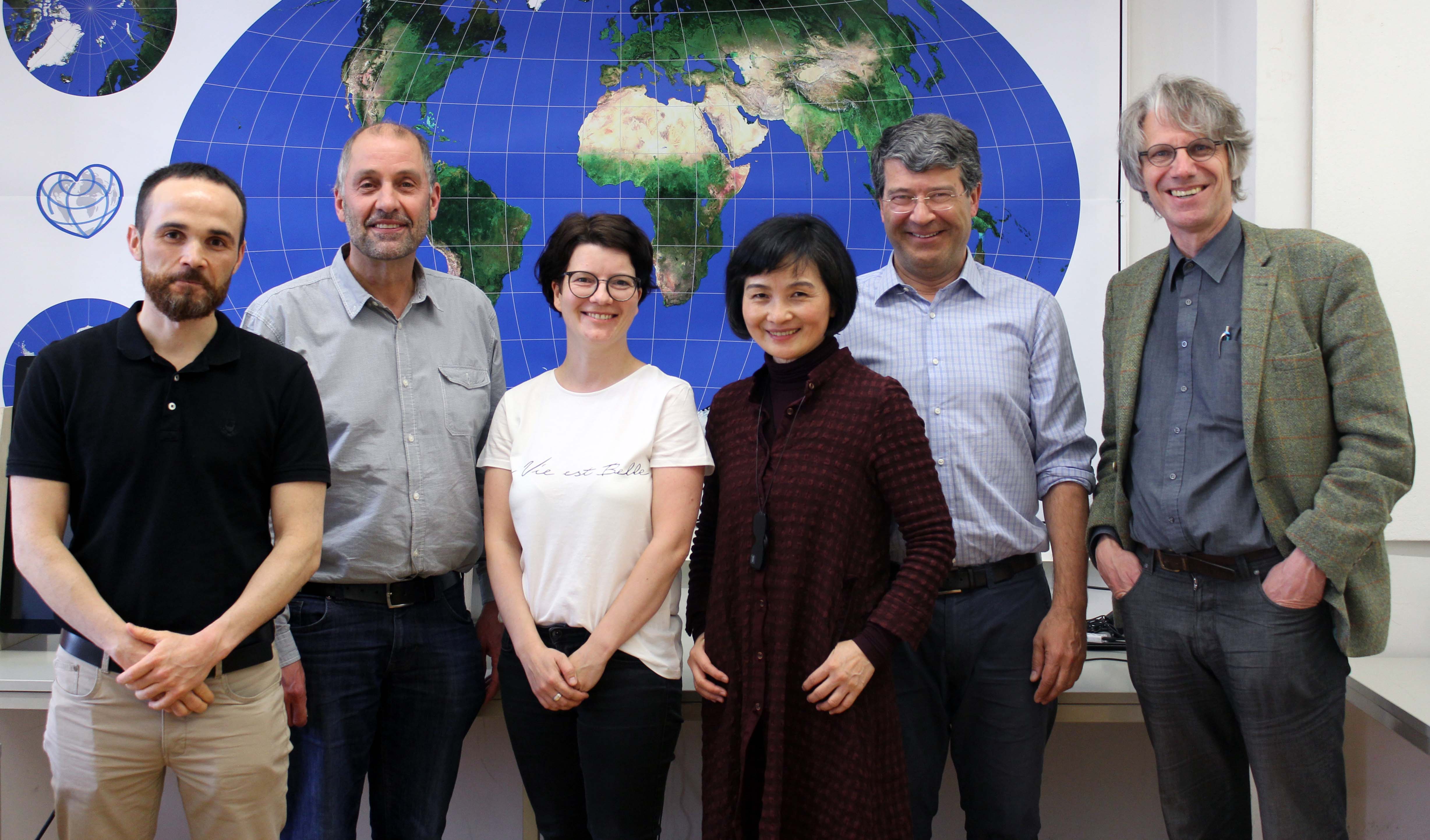
The Research Group Cartography is currently hosting a meeting of representatives of all partner universities of the International Cartography Master program. We are happy to welcome program coordinator Juliane Cron from Technische Universität München, Liqiu Meng from Technische Universität München, Nikolas Prechtel from TU Dresden, and Corné van Elzakker from ITC – University of Twente.

The students from the 7th intake, who are spending the summer semester 2018 at TU Wien, will have the chance to meet the colleagues from Munich, Dresden, and Twente, and to get information about upcoming classes and excursions.

To find out more about the International Master in Cartography, please visit cartographymaster.eu.

CartoTalk Amy Griffin: The user is the centre of the universe – Designing interactive maps for end users

We are happy to announce this year’s first  CartoTalk by Amy Griffin, RMIT University in Melbourne, on Monday, 23 April 2018.

Abstract: The task of the cartographer has become in some ways much easier since the advent of computers. For example, you no longer have to worry about smearing ink from your scribing pen or pasting Zipatone onto your overlay. A few clicks on a computer and it’s possible to create a basic map. Yet, in other ways cartographers face more challenges than they ever have before. People now use maps in many more places and to support many more tasks than they did in the past, and there is a bewildering array of different devices upon which maps can be displayed. Our behaviour with maps has also changed. Some people simply blindly follow where the GPS tells them to go, occasionally resulting in their injury or death (Milner 2016). Many others of us don’t bother to look at a map before we set out to find our way to a new place because we know that we can pull a phone out of our pocket along the way to check our location. And maps now respond to user inputs in ways in which they could not when they were simply printed on paper. For example, touchscreen displays coupled with internet access allow almost instantaneous and (almost) effortless panning and zooming. Yet, these new interactions lead to cognitive challenges that did not exist when viewing a paper map, whose full extent can be taken in at a glance – locating a zoomed map extent’s location relative to the full map extent.

While cartographers have directed attention to thinking about the map’s purpose and a few limited kinds of map user characteristics for some time, the philosophy of user-centred design, which systematises some of this thinking, arose in the 1980s and these ideas began to be applied more directly within cartography in the mid to late 1990s. New ideas have since expanded the remit of factors considered in user centred design to include interaction design (Cooper et al 2014), user experience design (Norman 2013), and the consideration of emotions in addition to classical cartographic thinking about map perception and cognition. In this presentation, Amy Griffin will provide an overview of the user-centred design process and the methods and techniques they use to do user-centred cartographic design (e.g., user requirements analysis, formative evaluation, eye-tracking), as well as where the state of the art stands in terms of new thinking about user-centred design as it can be applied to cartography (Roth, 2015; Griffin et al., 2017).

Amy Griffin is a Senior Lecturer in Geospatial Science in the School of Science at RMIT University in Melbourne. She’s the co-chair of the ICA Commission on Cognitive Issues in Geographic Information Visualisation. Her research interests include perceptual, cognitive and affective issues related to geographic information use, applications of GIS to historical geography, and GIScience applications to health geography. 

Monday, 23 April 2018, 9:15-10:45
Seminar room 127, Gußhausstraße 27-29, 3rd floor

Welcome to the 7th intake of the International Master in Cartography

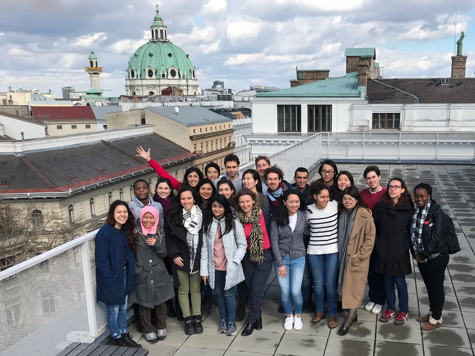
We are happy to welcome 24 students of the International Master in Cartography at TU Vienna for the summer semester 2018. This intake’s students come from 20 countries: Argentina, Bangladesh, China, Ecuador, Egypt, Germany, Ghana, Greece, Kenia, Kzakhstan, Lebanon, Malaysia, Mexico, Netherlands, Poland, Serbia, Spain, Taiwan, Turkey and the USA.

After finishing their first semester at TU München, the students are now with us for their second semester, before they move to TU Dresden. We are really happy to have them here and wish them a fun & successful semester!

To find out more about the International Master in Cartography, please visit cartographymaster.eu.

Workshop on Programming and Cartography in Berlin

The research group cartography is co-organizing the workshop “CODE/GEO/GRAPHIC” on the relationship of programming and cartography in Berlin on April 19, 2018.

In the workshop, we want to take a closer look at pieces of code used in cartographic projects. Participants are invited to present their experiences with programming for cartography and engage in an open discussion to identify research questions in an “unconference” format.

http://code-geo-graphic.com/

The workshop will take place on April 19, 2018 at Technologiestiftung Berlin. Registration as a presenter or participant is still open, and free!

TU Wien as UN-GGIM Academic Network Member

The Vienna University of Technology through Prof Georg Gartner was accepted as member of the Academic Network of the United Nations Committee on Experts of Global Geospatial Information Management (UN-GGIM).

UN-GGIM sets the agenda for the development of global geospatial information and promotes its use to address key global challenges. The role of the Academic Network is to support the aims and objectives of the United Nations Committee of Experts on Global Geospatial Information Management.

Mapping the future

Cartography is seen by many as attractive, relevant and modern. Because of that many cartographers argue that education and research in cartography is important. There are several indicators which could be used in this context, e.g. how many maps are produced, accessible and available. It is most interesting that the magazine Wired argues along the same lines …

Cartography is the new code. […] And as advanced satellites, digital mapping tools, and open-source geographical software progress, the demand for cartographers is projected to grow nearly 30 percent by 2024.

Application for the Cartography M.Sc. is now open

We are one of the four partner universities offering the Erasmus Mundus Master of Science programme in Cartography. The application for the 2018 intake (program start: October 1) is open from January 1 to May 31, 2018.

The deadline for Erasmus Mundus scholarship applications is March 15, 2018. All details concerning the application procedures can be found here. Continue reading “Application for the Cartography M.Sc. is now open”