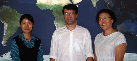
We are happy to welcome Muki Haklay of the University College London (UCL) to our colloquium CartoTalks:
Volunteered Geographic Information –
Overview, Quality and Contributors Behaviour
Over the past 5 years a new phenomenon emerged in the area of geographical information. This is the contribution of digital geographical information by non-professional contributors. The information that can be collected through this method ranges from georeferenced photographs to observations that are taken in different parts of the world and to detailed mapping activities. This user-contributed geographical information was termed Volunteered Geographical Information by Goodchild (2007).
In the talk, the background to this phenomenon will be covered, pointing to the technical and societal changes that enable it. Following this overview the issue of data quality and how to evaluate it, will be discussed. Finally the behaviour of participants and their motivation will be covered.
Examples from Flickr, OpenStreetMap and Google Map Maker will be used to illustrate the various aspects of VGI and to highlight that there is a rich seam of empirical data, both quantitative and qualitative, that can be used in VGI research.
Friday, October 8 2010, 10 am
Seminar room 126
Research Group Cartography
Erzherzog-Johann-Platz 1, 1040 Wien
This post was automatically fetched from geo.tuwien.ac.at. Please find the original here.


