
On Friday 9 June the Research Group Cartography hosted an orienteering event at Karlsplatz. Orienteering requires navigational skills to navigate from point to point whilst moving at speed. Our participants were given a specially prepared orienteering map which they used to find 17 control points. In total, 104 national and international students from Cartography, Geodesy, and Urban Plannung joint the event along a 2.1 km course.
Find your result here! Congratulations to the three best orienteerers:
- Brandstätter Max: 16:50
- Falkenstein Antonia: 17:26
- Oberroither Alexander: 18:50
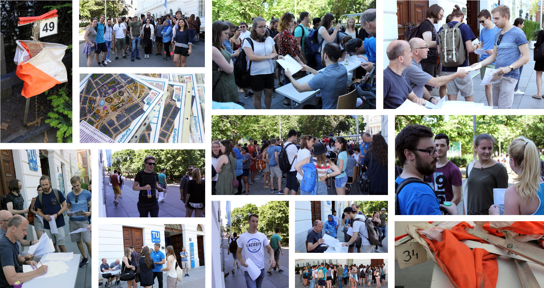
A big thanks to the organizing team and to all the students for making the event so enjoyable and fun!