
We are happy to welcome Ivana Brković, Ph.D, of the University of Zagreb to our colloquium CartoTalks.
Semantics of space in the 17th century Ragusan literature
The presentation deals with representation of space in literary texts of the 17th century Ragusan authors. Following spatial turn in contemporary humanities and social sciences, literary space is approached as a social and cultural product. Focusing on exemplary literary works, it will be shown that literary spaces in the given texts invoke multiple meanings, which are generated by different discourses (historical space, social space, (geo)political space, religious space etc.). Implying multiple demarcations, representation of space in the texts of the Ragusan authors implies the different concepts of collective identities. Preferential space(s) of identity/alterity reveals the auto/raguso/centric perspective and, especially, the 17th century political (and ideological) discourse of the Ragusan aristocracy.
Ivana Brković, Ph.D, is a Senior Assistant at the Department of Croatian Language and Literature (University of Zagreb, Faculty of Humanities and Social Sciences), researching and teaching Early Modern Croatian Literature.
She also works on the Research Project “Imagological research of the 16th-19th century Croatian literature”. In February 2011, she defended her PhD thesis on “Semantics of space in the 17th century Ragusan literature”.
Friday, December 9 2011, 10.30 am
Seminar room 126
Research Group Cartography
Erzherzog-Johann-Platz 1, 1040 Wien
This post was automatically fetched from geo.tuwien.ac.at. Please find the original here.
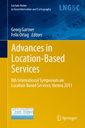 The book was published in the “Lecture Notes in Geoinformation and Cartography” Series by Springer. It contains selected papers of the “8th International Symposiums on Location-Based Services”, which was organized by Research Group Cartography in November 2011.
 We wish our colleague
 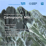 Interested in our International Master in Cartography? Check out the new