The 2nd Schematic Mapping Workshop will be held April 11–12, 2019 at TU Wien. The workshop brings together researchers and practitioners working on various aspects of schematic maps, including cartographers, computer scientists, graphic designers, psychologists, and transport professionals.
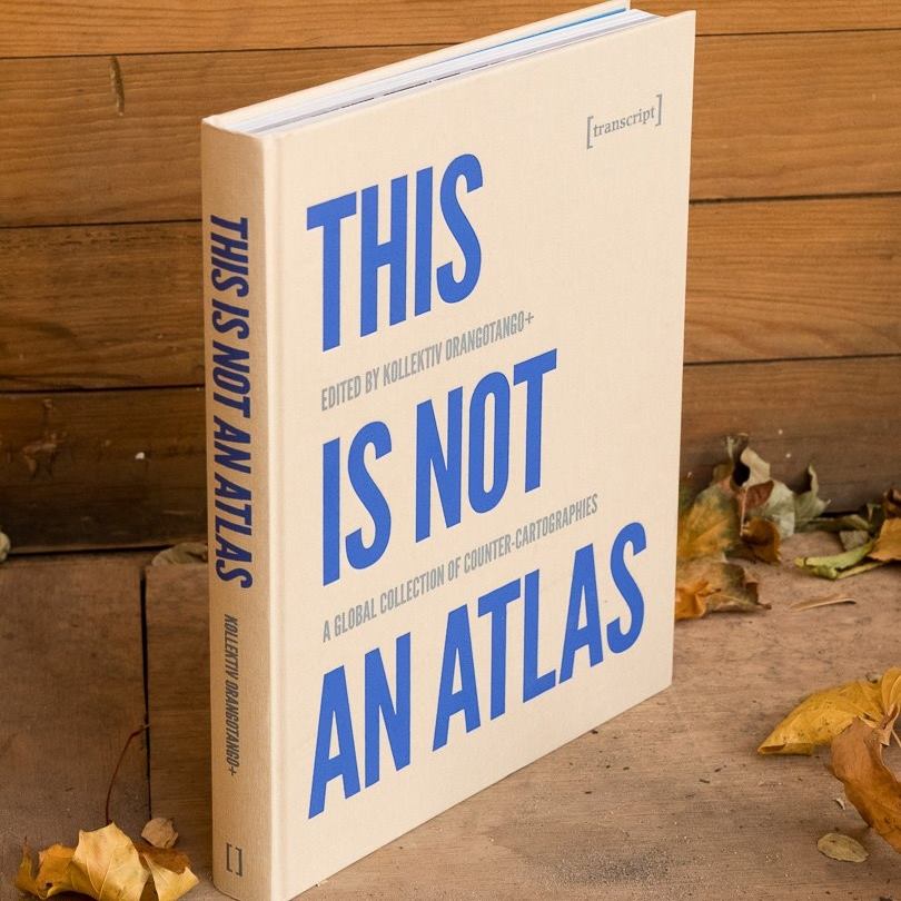
Über vier Jahre hat kollektiv orangotango sogenannte counter-cartographies – widerständige Kartierungen – aus der ganzen Welt zusammengetragen. Die Sammlung zeigt, wie kritische Karten gemacht und genutzt werden – als Teil von politischen Kämpfen, kritischer Wissenschaft, Kunst und Bildungsarbeit. Der kürzlich im Transcript-Verlag erschienene Atlas enthält auch einen Beitrag von Florian Ledermann zu einer Karte aus dem genderATlas.
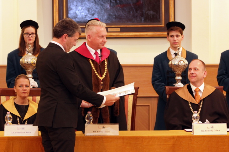
We are very proud to announce that the Senate of Eötvös Loránd University in Budapest awarded the title of professor et doctor honoris causa to Georg Gartner on November 9, 2018 at the celebration of the 384th anniversary of the foundation of the university.
We are happy to announce our next CartoTalk by Alisa Pettitt, a PhD student in the Department of Geography and Geoinformation Science at George Mason University and an SOI qualified archaeologist with the Fairfax County Park Authority. Her current research focuses on the use of XR technologies for the interpretation, preservation, and analysis of heritage sites.
Abstract: Narrating and visualizing complex and multi-faceted histories tied to archaeological sites can be challenging; especially at sites where tangible histories have vanished from the landscape. Interpreting and narrating on the varied cultural layers bound to these sites when physical remnants are gone require supplemental information and sometimes advanced visualization techniques. Local museums and/or archaeological site centres often have supplemental information and data available but interpreting and building new narratives for these sites is resource intensive. For many lesser known historical sites a resource intensive interpretation and documentation is not feasible.
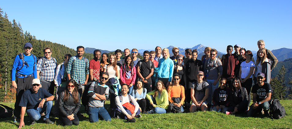
This year we are proud and happy to welcome 30 students from 19 different countries to the International Cartography Master program! The program’s first semester started with a welcoming week in Munich. A week full of activities and opportunities to meet & greet new students, alumni from previous intakes, and members from all four partner universities: TU München, TU Wien, TU Dresden, and UTwente.
We wish all students a great and successful time in Munich and we look forward to welcoming the students this summer term in Vienna!
To find out more about the International Master in Cartography, please visit cartographymaster.eu.
Was? Die Eyetracking Studie findet am Hauptbahnhof Wien statt. Für Ihre Teilnahme erhalten Sie 50 Euro Aufwandsentschädigung.
Wann? Die Studie findet im Oktober 2018 statt. Termine werden individuell mit Ihnen vereinbart.
Wer kann teilnehmen? Voraussetzung ist normale oder über Kontaktlinsen korrigierte Sicht. Die Durchführung des Eyetrackings mit Brille ist leider nicht möglich.
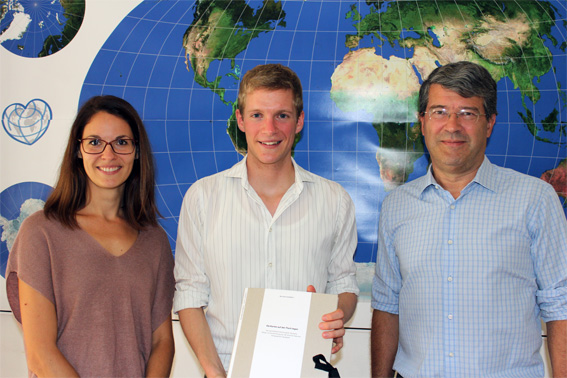
Congratulations to Jakob Listabarth who successfully finished his Bachelor thesis today! His topic focused on a cartographic storytelling approach for the Sustainable Development Goal 6 “Ensure availability and sustainability of water and sanitation for all”.
He created a folder with some background information as well as 6 storymaps addressing school children. Some screenshots of his impressive work can be found here:
The wall and Sara’s thirst: A storymap to highlight the inequalities in the access to water – in this case even between neighbourhoods
Sepp’s swampy, little paradise: A storymap to portray one of the water-related ecoysystems addressed by subtarget 6.6 Water-Related Ecosystems
Excerpt from a storymap on pollution of the Ganga river basin
Excerpt from a storymap on water fluxes of pasta-production in Italy
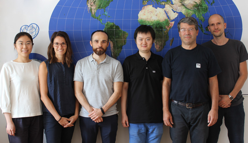
Hao Lyu, PhD student at TU Munich, has joined our research group for the past three months. Thank you for the exchange and all the best for your future career!
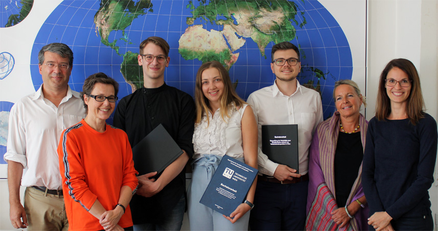
Congratulations to our students who successfully finished their Bachelor theses in the field of Emotion Mapping today:
Cristian Andronic: Überprüfung der Reliabilität einer Emotionskarte anhand von Verkehrsknotenpunkten in Wien
Gabriela Goranova: Emotionale Raumgestaltung – Auf dem Weg zum Einsatz von Emotionen als Beteiligungsinstrument in der Stadtplanung am Beispiel des Wien Museum
Viktor Jauk: Überprüfung der Reliabilität einer Emotionskarte anhand von Wiener Stadtteilentwicklungsgebieten
Well done and best wishes for your future studies and careers!
A special thanks to our partners from Wien Museum, Sandor Békési, Isabel Termini, and Elke Doppler, for their kind support and the excellent collaboration !
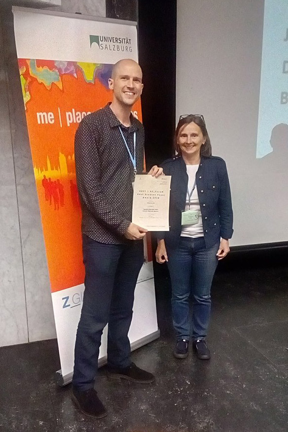
We are proud to announce that PhD candidate and lecturer Florian Ledermann has won the award for “Best Student Paper” at this year’s GI_Forum conference in Salzburg, Austria. The jury unanimously voted for his paper “Analysing Digital Maps Online: A Reverse Engineering Approach” and praised the author’s accomplishment of making the complex workings of online maps transparent to a wide audience. A preprint of the paper, which will appear in print later this year in the GI_Forum journal, is available here.
Congratulations!
Florian Ledermann with Adrijana Car (Editor of GI_Forum Journal). (Photo by Julia Stepan)