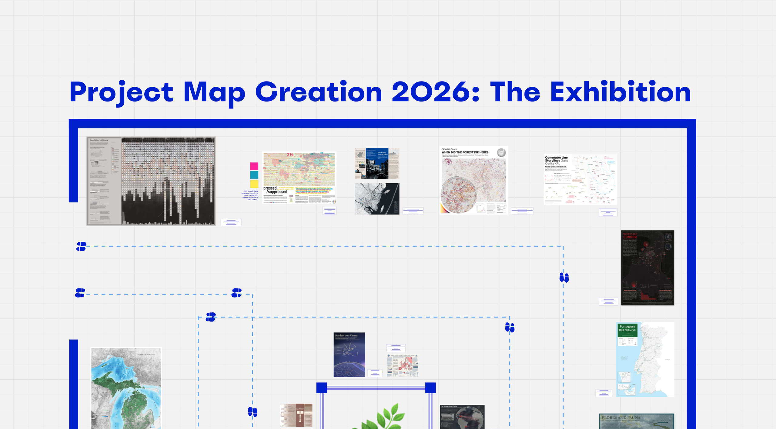
This year again, our cartography students have created stunning maps, as part of their course “Project Map Creation”. They had full freedom over the topic, data, software and techniques used. The results are truly impressive.
You can now see all of them online using this link.
Thank you to Camila Narbaitz Sarsur for setting up the exhibition!
The 15th intake of cartography students finished their semester! During the past 4 months, they have practiced many cartographic skills: web mapping, location-based services, theoretical cartography, graphic design, and many others. And they learned by doing, as this semester is almost fully assignment-based.
In the Project Map Creation course (supervised by Manuela Schmidt and Camila Narbaitz Sarsur), they had the chance to apply all the techniques they want to realize one big project, which they exhibited at the occasion of our yearly Map Exhibition on June 25th!
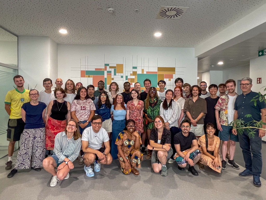
We celebrated the end of their semester, and their beautiful maps. It was a great moment — although we are of course always sad to say bye.
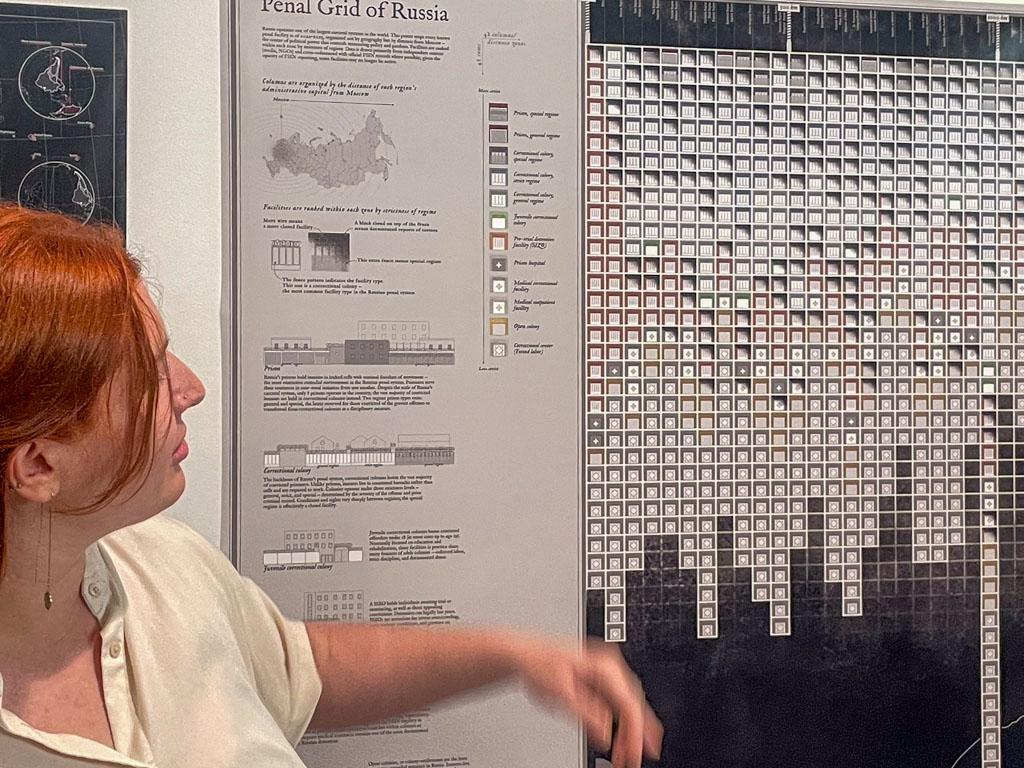
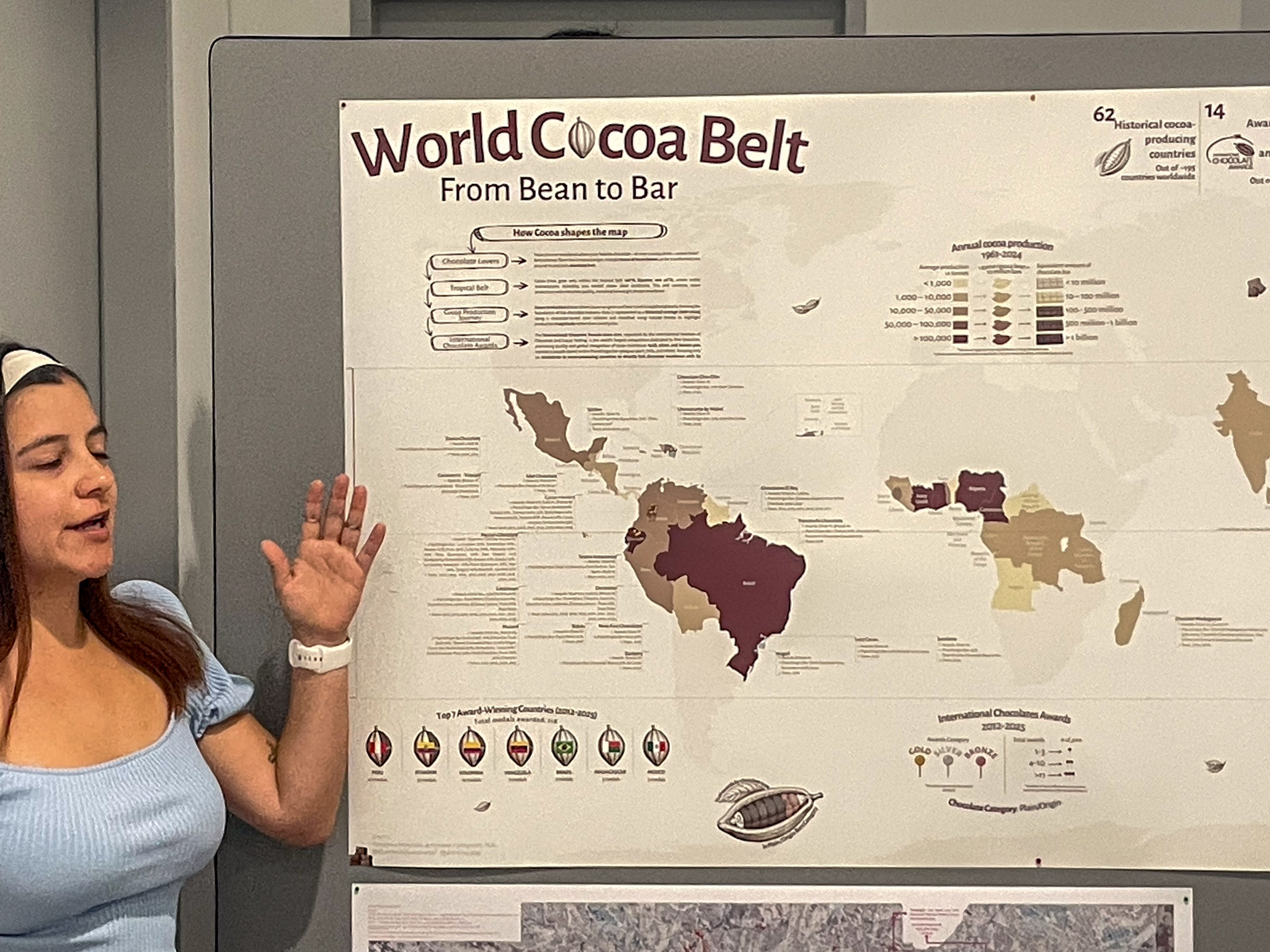
The students and some of the staff!Alena Avdeeva and her map “Penal Grid of Russia”Domenica Fernandez de Cordova and her map “World Cocoa Belt”
Their next stop, after a well-deserved summer break, is the Technical University of Dresden! We wish them a great semester and hope to see them soon.
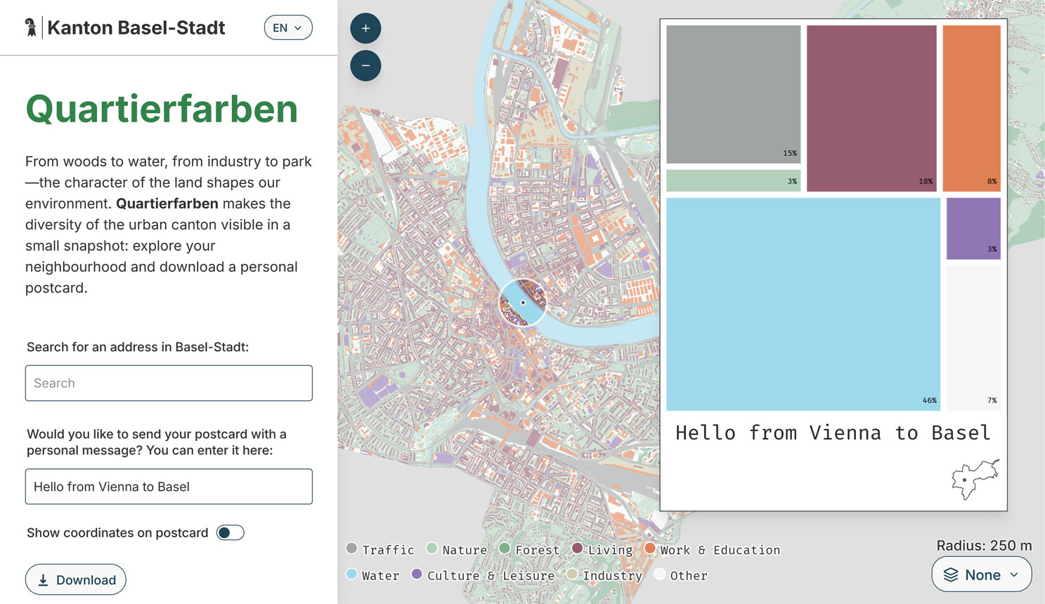
With its own color scheme, corporate design, and new features like an inset map on the postcard, automatic neighborhood-based labeling, and multiple basemaps to choose from, it shows how open-source collaboration can benefit everyone. The Statistisches Amt Basel-Stadt has also published the visualization in their statistical dossier (April 2026) and as posters around the city, offering a postcard printing option at events. It’s wonderful to see this project spread and evolve.
If you want to build such a web app for your own city, make sure to check out our GitHub repository and reach out if we can support you.
After three years of collaboration, the Erasmus+ project Shape2Gether is coming to an end. Together with six European universities and the industry partner Seppo, the Research Unit Cartography explored new approaches to teaching and learning, focusing on Education for Sustainable Development (ESD) and climate change in Europe. Shape2gether brought together expertise in sustainability and climate education, innovative technologies, game-based learning, and geosciences, with a strong emphasis on interdisciplinary collaboration. A key aspect of the project was the active involvement of students, who were not only participants but co-creators throughout the process.
Students took part in three international summer schools in Trondheim/Tautra (Norway), Malta, and Bochum (Germany). Each summer school addressed different aspects of the project: in Norway, the focus was on immersive technologies such as VR/AR and on-site exploration to better understand climate processes; in Malta, students engaged with local sustainability challenges and Education for Sustainable Development in a regional context; and in Bochum, the emphasis was on developing serious games and interactive formats related to structural change and sustainability.
Based on these co-creative experiences and the continued collaboration of the project team, Shape2gether evaluated innovative teaching approaches and is developing learning materials aimed at empowering students as “Agents of Change” in the context of climate change and sustainable development.
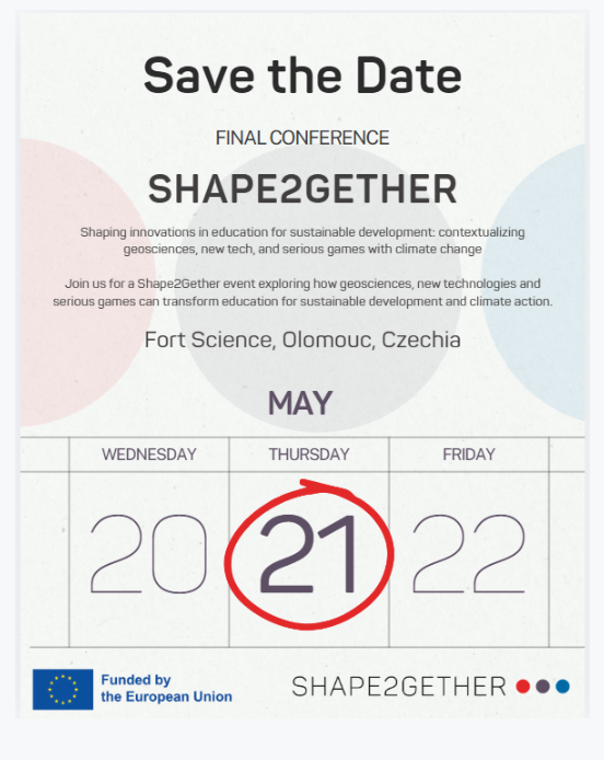
All project results, including developed learning formats, digital applications, and game-based approaches, will be presented at the Shape2gether Final Conference, taking place on May 21, 2026, in Olomouc. The event is free of charge. For further information and registration, please visit our project site.
Already the 15th one! We wish a very warm welcome to Vienna to the new intake. On Thursday 5th of March, the new students of the International Master’s in Cartography program started their second semester with us, after their first semester in Munich.
The 29 students, from 20 different countries, will study with us in Vienna for four months. Through the 10 courses we offer, they will learn a broad range of theoretical and practical skills, all very useful for their cartographic career. We wish them a great time in their new city, and are looking forward to exchanging diverse perspectives on cartography!
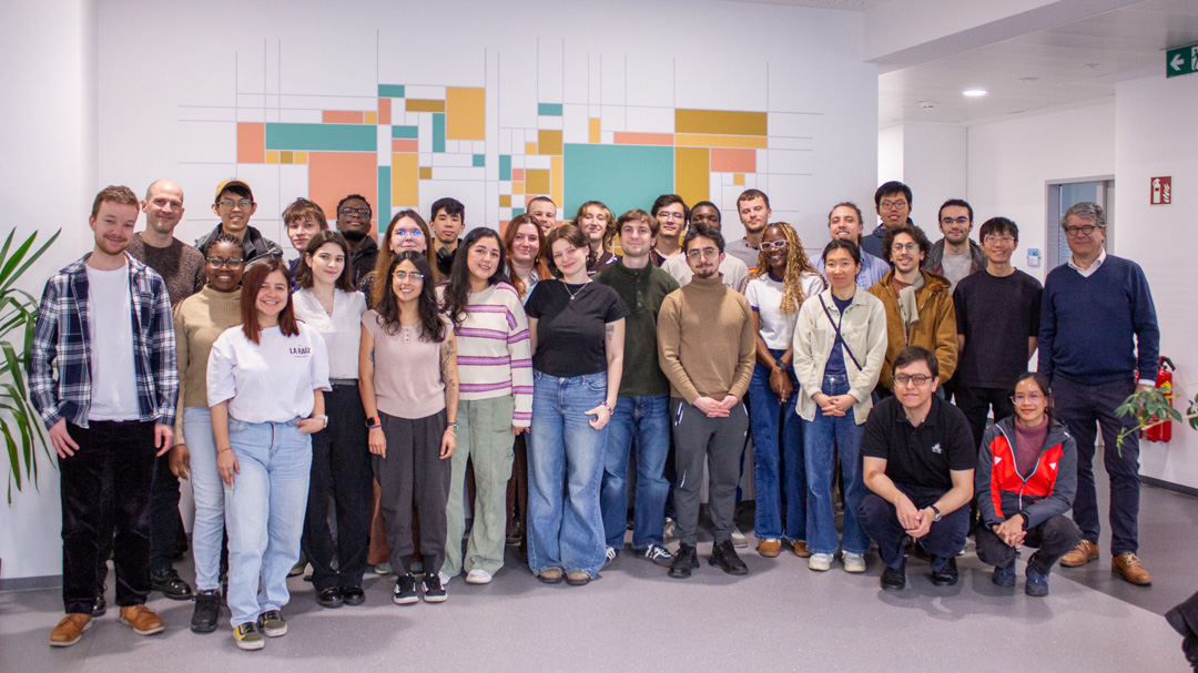
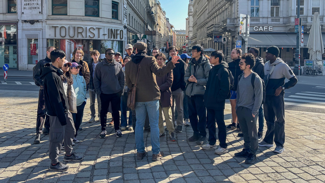
Students of the 15th intake, with our team.On Friday, they attended a city tour offered by a professional guide, Jan Kepinski
We are proud to announce that Nicolás Martínez Heredia has been awarded First Prize in the 2025 PAIGH (Pan American Institute of Geography and History) competition for the best master’s thesis in Cartography, Geodesy, or Geographic Information. His thesis, Perceptual Distortions in Cartography: Maps for Trickery, supervised by Florian Ledermann, was recognized by an international jury as the most original and rigorous contribution among entries from across the Americas. The evaluation highlighted the thesis’s novel conceptual framework, methodologically sound experimental design, and exceptional clarity of writing.
Congratulations to Nicolás on this well-deserved recognition of his research excellence!
Nicolás Martínez Heredia with his supervisor, Florian Ledermann