Three students from the 11th intake of the Cartography Master’s program have recently successfully defended their master’s theses at our research unit.
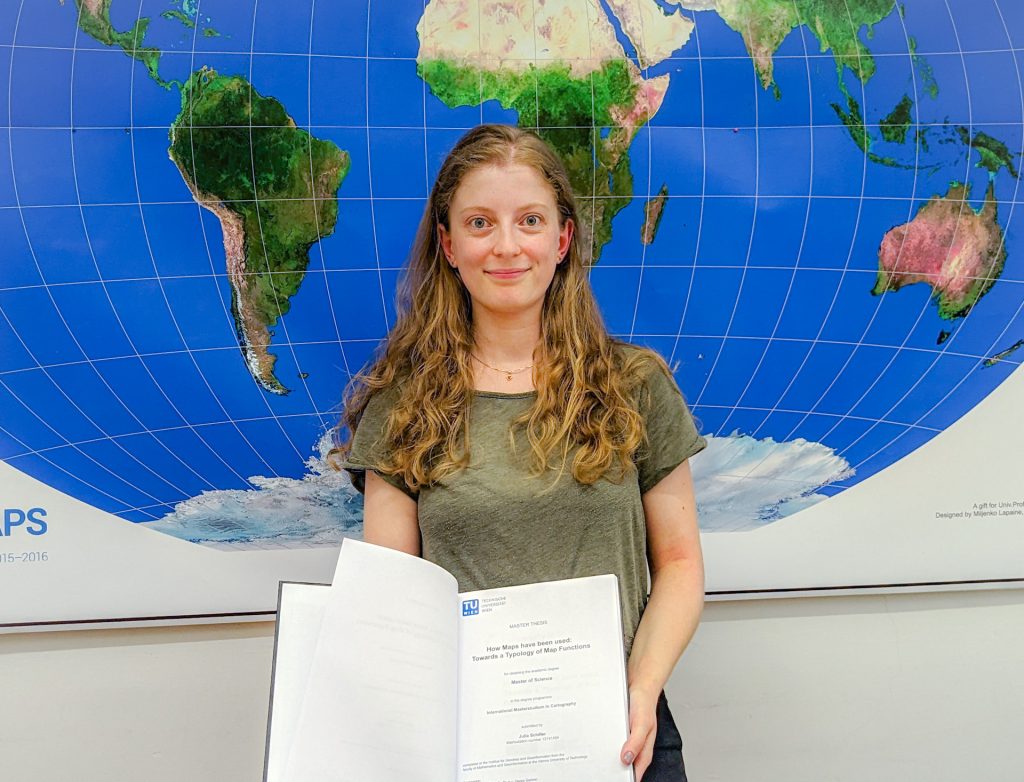
Moreover, celebrating the defence of our programme’s 200th graduate, Julia Schiller, was a special occasion. She defended the thesis on the topic “Typology of Map Functions” under the supervision of Prof. Georg Gartner.
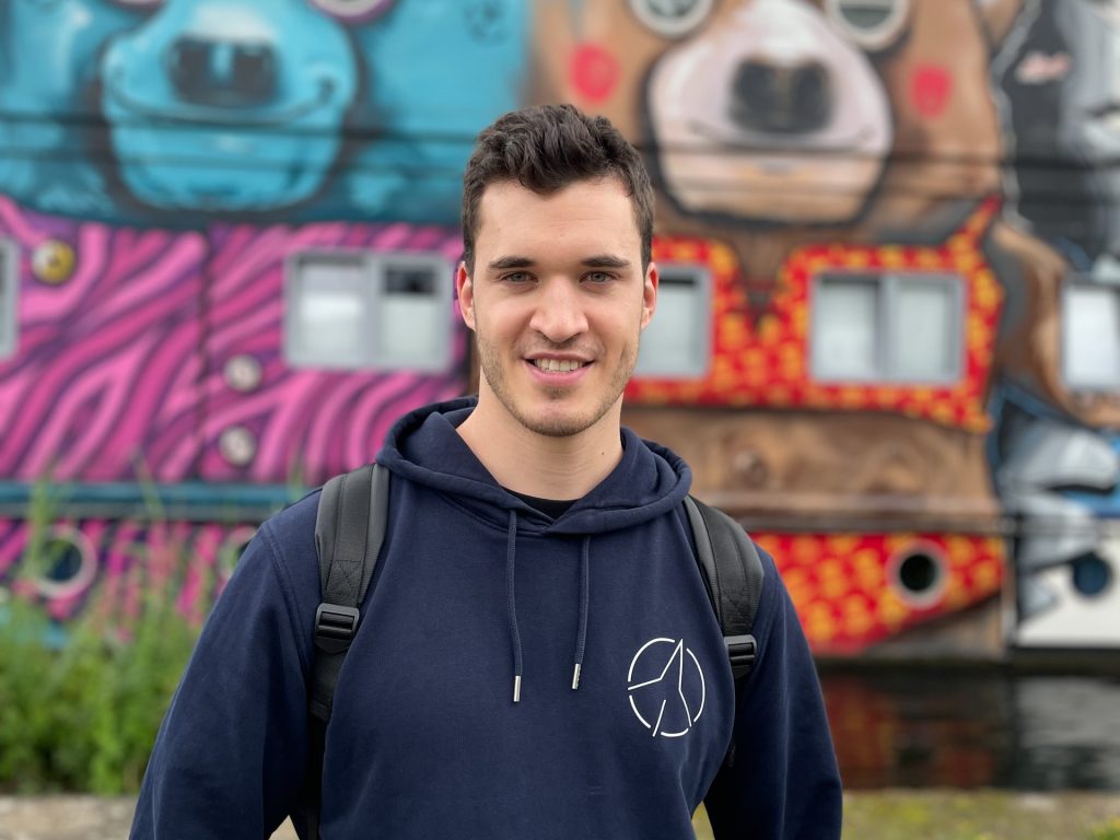
Oskar Baumann introduced his thesis “The Nuances of Mapping Street Art – Developing a Web Map for Interactive Graffity Exploration”. His supervisors were Benjamin Wild and Prof. Norbert Pfeifer from the Research Unit Photogrammetry.
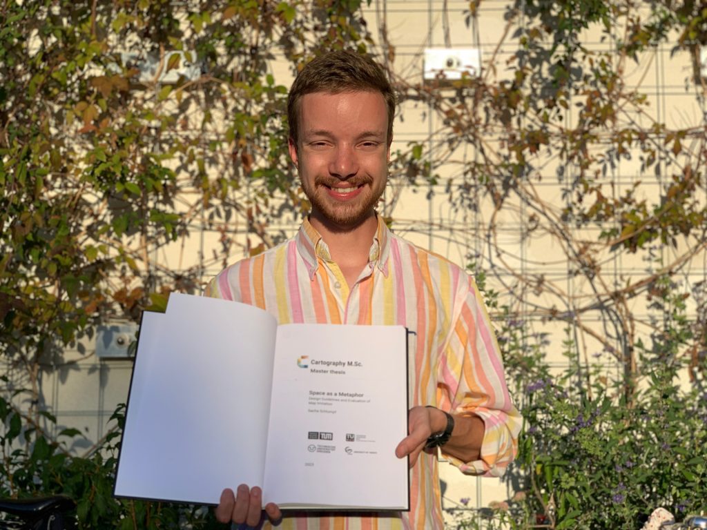
Sacha Schlumpf presented his thesis “Space as a Metaphor”, supervised jointly by Prof. Georg Gartner and Jethro Lennox from HarperCollins Publishers in the UK. Thus, he concluded successful defences of his intake at TU Wien.
Congratulations to them, and all the best in their future explorations!
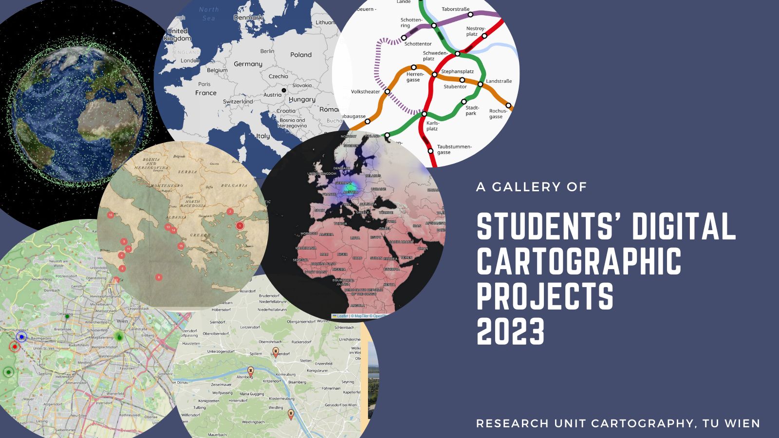
In the summer semester of 2023, students designed and developed digital cartographic projects within the LBS course. We are happy to share with you the gallery of the best projects.
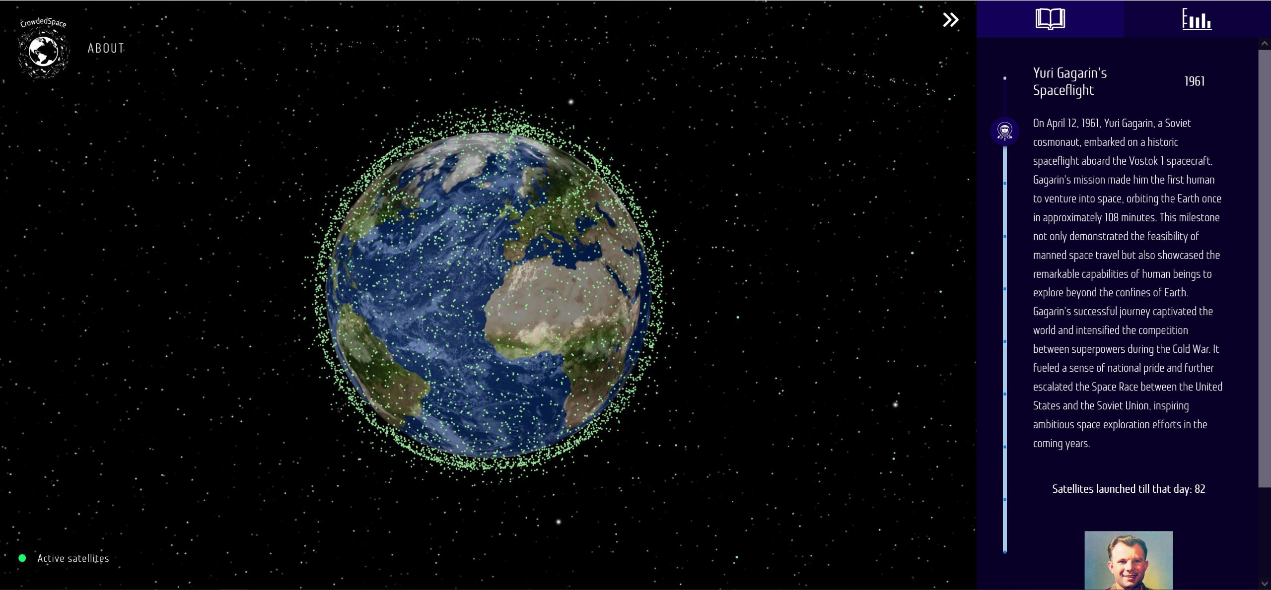
An interactive 3D view of the Earth by Cartography M.Sc. students Janek Łyczakowski, Lennart Kerl and Nicolás Martínez Heredia, which shows all active satellites and presents how humans have colonized and increasingly populated space with devices, combining it with storytelling to educate science for a broad audience.
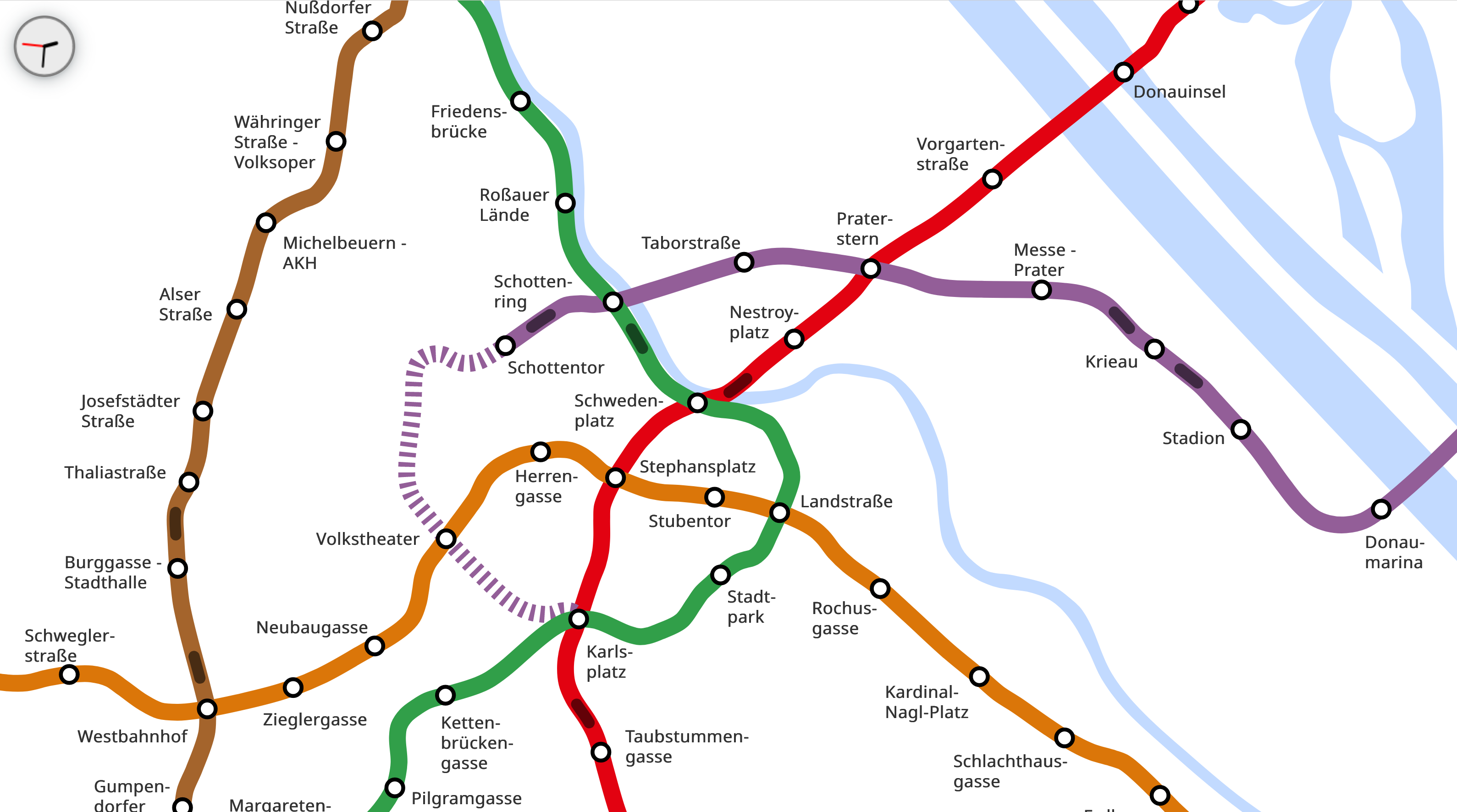
An animated web map with live information about the underground trains’ position in Vienna by Cartography M.Sc. students Luka Laval and Ander Palacios Fraile.
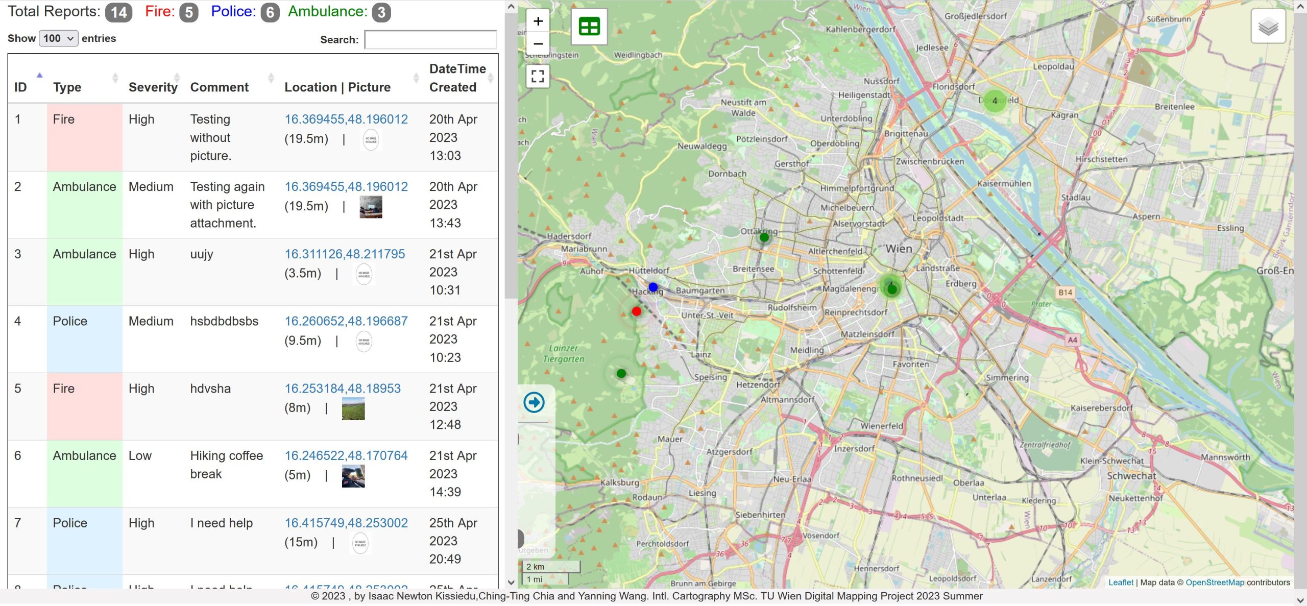
An application by Cartography M.Sc. students Isaac Newton Kissiedu, Ching-Ting Chia, and Yanning Wang to request emergency services in English in Austria. The team developed the dashboard with a map for emergency service and a mobile application for users to send emergency requests.
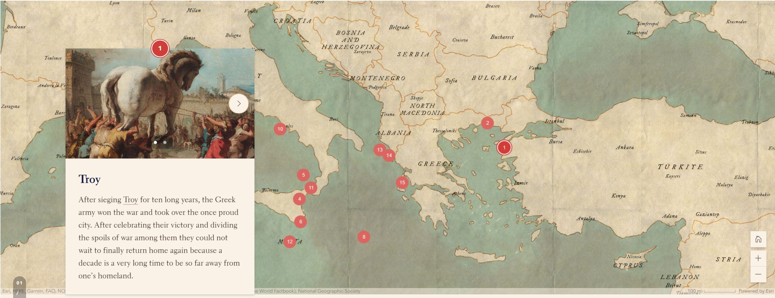
“Location-Based Odyssey”
A combination of an interactive map and a story map by Stefan Blochberger, Sophie Haselsteiner and Philipp Zehetgruber introduces the journey described in the Odyssey for younger audiences aged 10-14 years old.
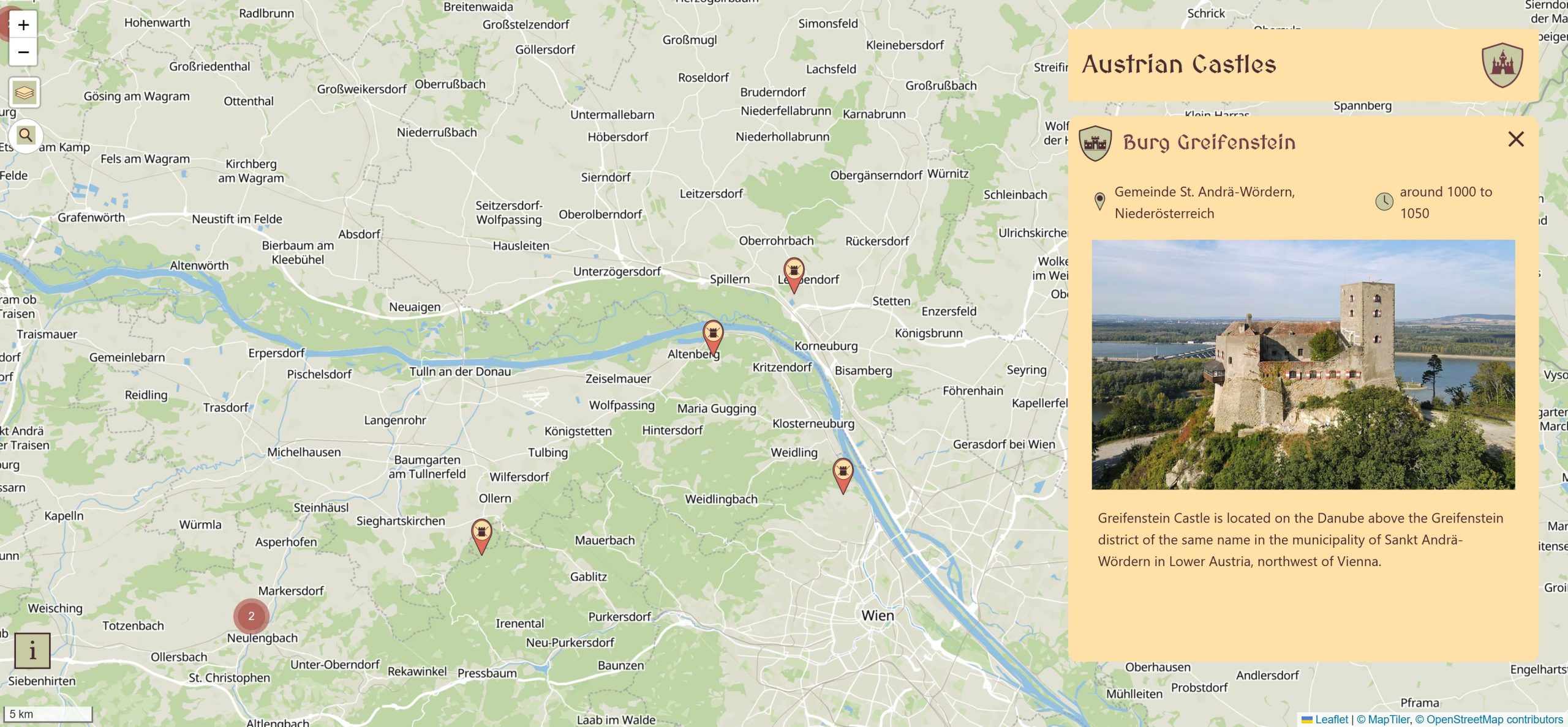
“Austrian Castles”
An interactive web map with information about castles in Austria by Cartography M.Sc. students Samuel Darkwah Manu, Yi Zhen Chew, and Ulrike Holfeld.
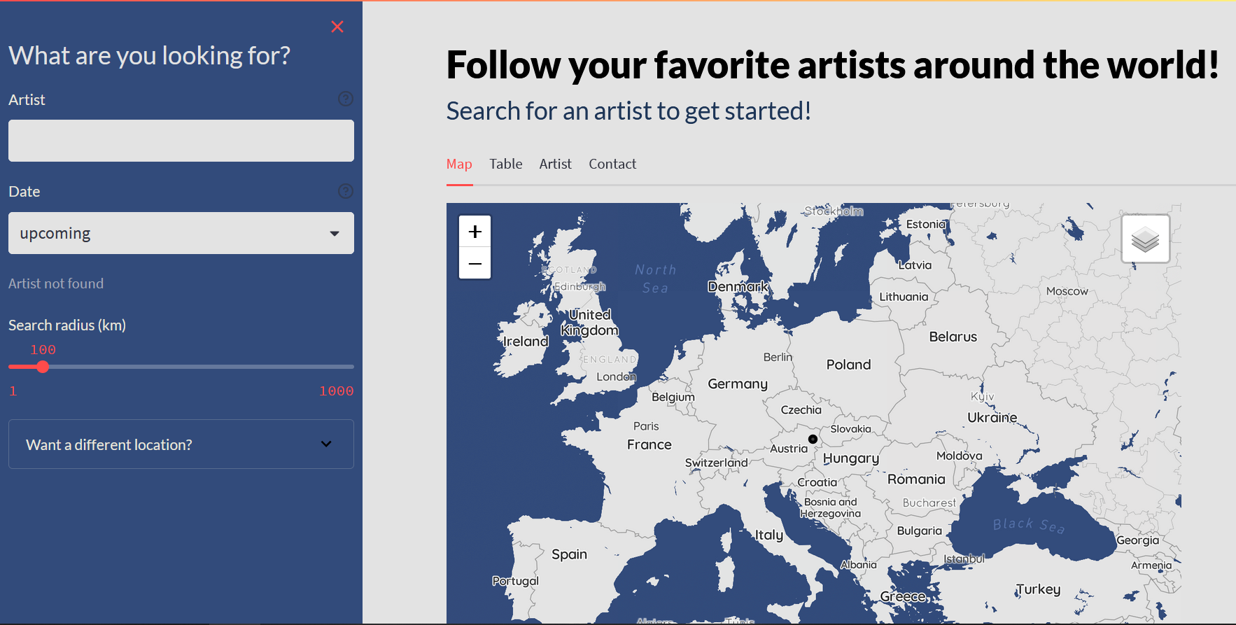
“Follow your favorite artist around the world!”
An interactive map dashboard by Stefan Christl, Lorana Myslimi, and Helena Anna Hettegger lets you easily explore your favourite artists’ concert locations worldwide.
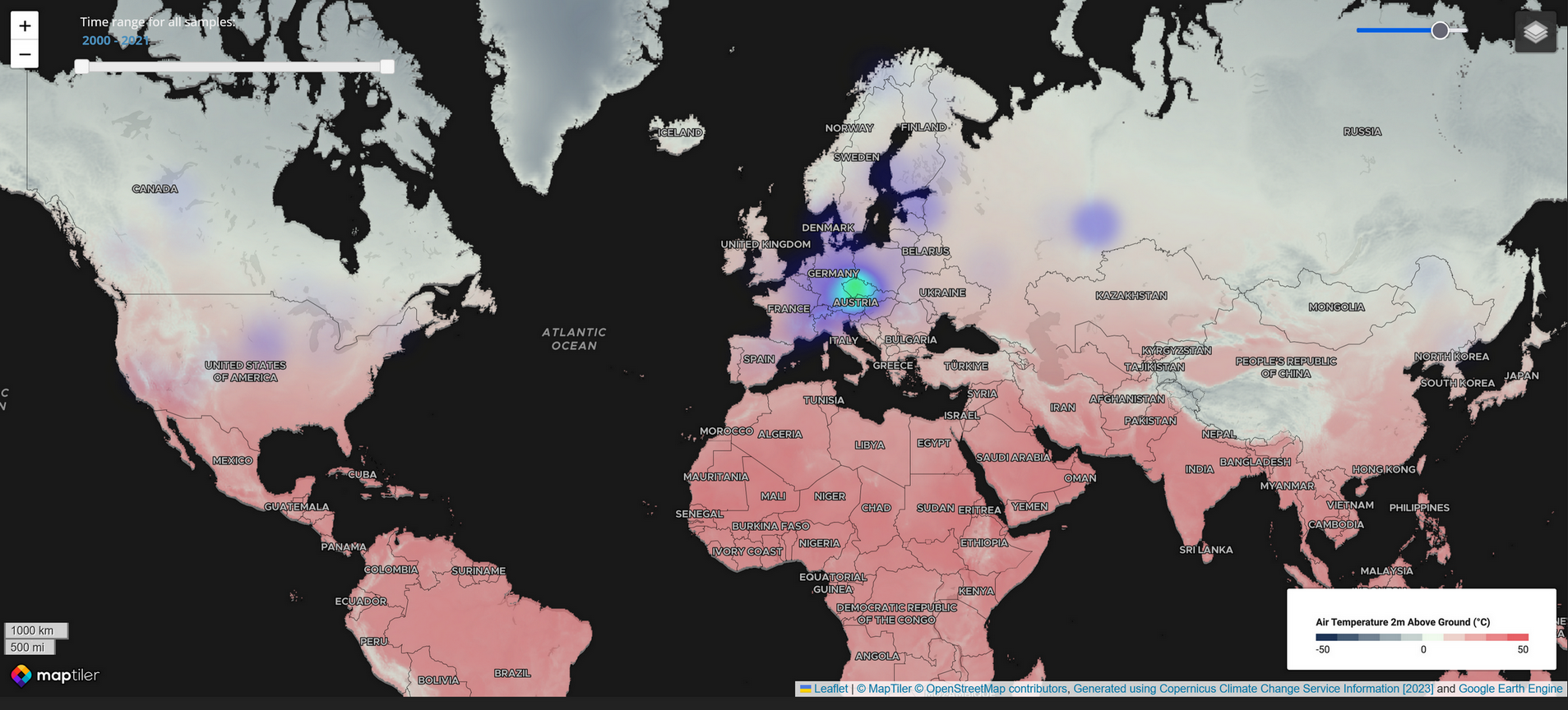
The project by Cartography M.Sc. students Phoebe Ly, Dilara Bozkurt, and Zhenjiang Li utilizes the Global Fungi fungi NGS dataset to help scientists better analyze and visualize this data through a web map.
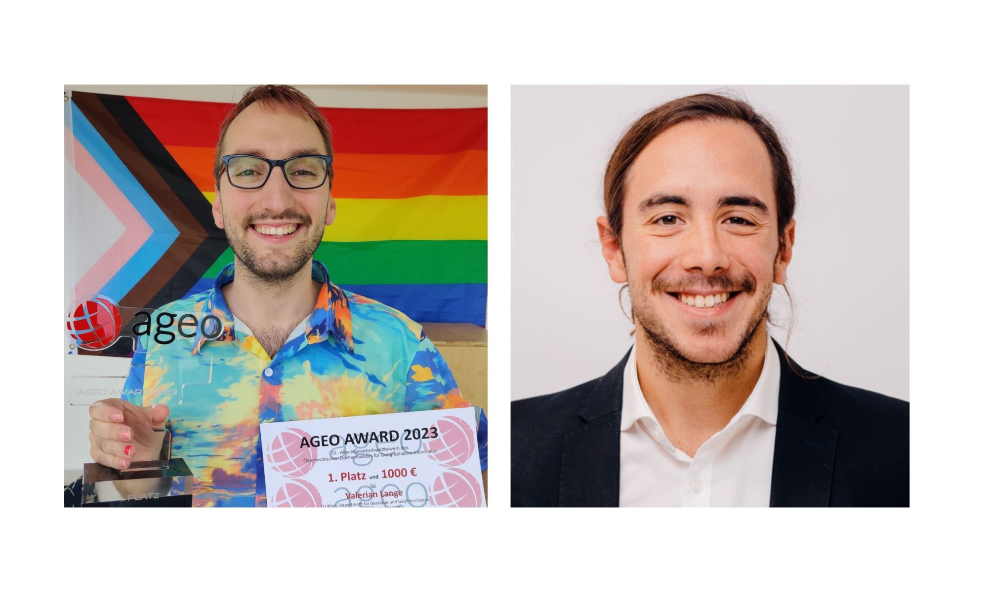
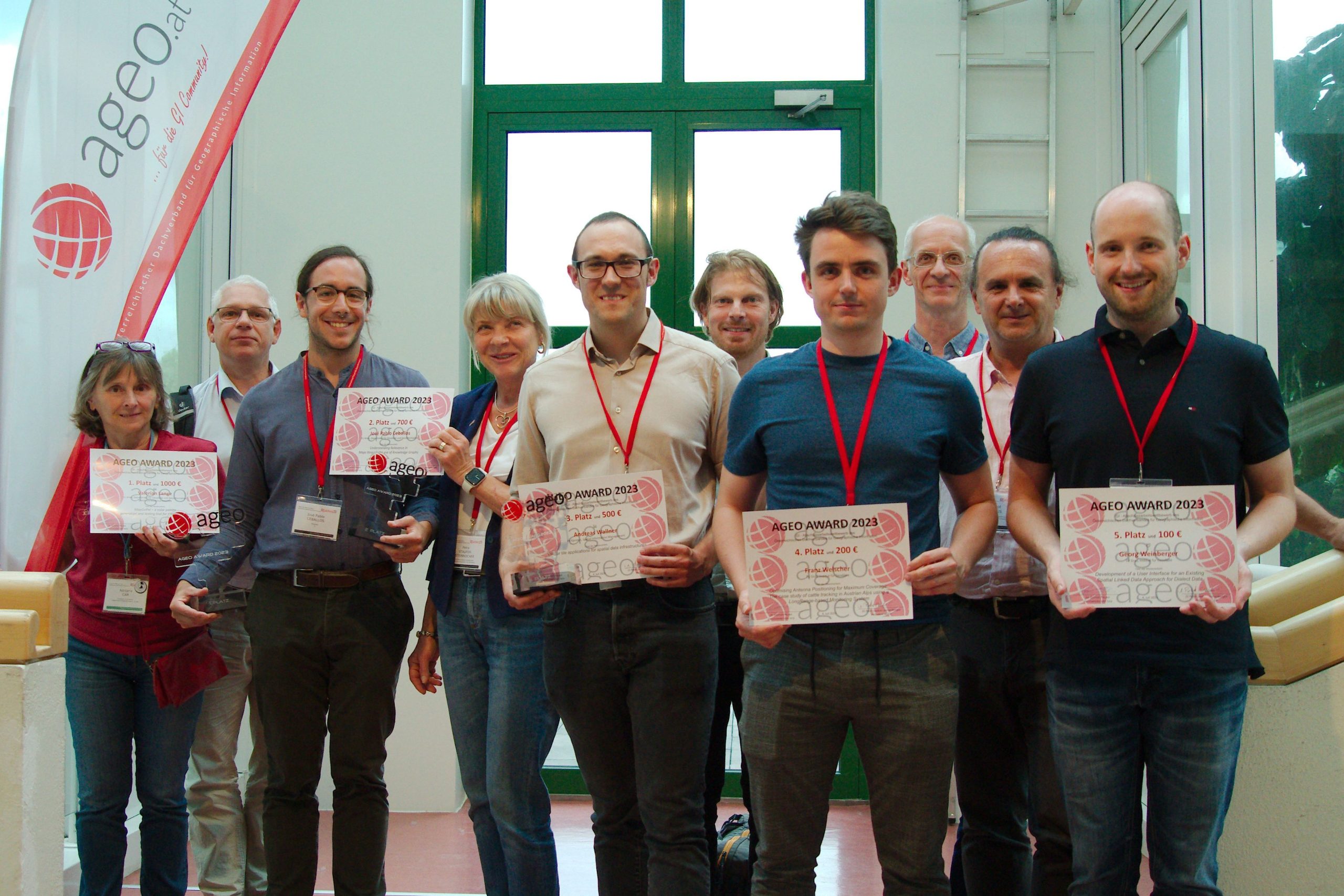
Cartography M.Sc. graduates Valerian Lange and Josè Pablo Ceballos received 1st and 2nd place in the AGEO Awards 2023 for the best master theses in the Geographic information field in Austria.
The award took place on July 4, at the GI Salzburg Conference at the University of Salzburg. This prize, awarded for the 14th time by the Austrian umbrella organization for geographical information AGEO, pursues the goal of promoting excellent graduates from Austrian universities in the field of spatial information science.
Awardees of the AGEO Awards 2023, Josè Pablo Ceballos is third from the left
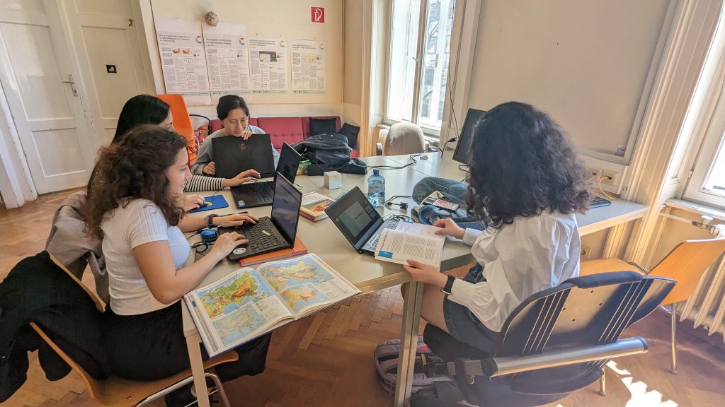
Twenty students of the Cartography Master Programme have completed their semester in Vienna. In a farewell session on June 28, we looked back at the semester and the results of the students’ work. As a tradition, we had a students’ map exhibition during that session.We wish our students to enjoy their summer holidays and to return rested and ready for the third semester at TU Dresden!
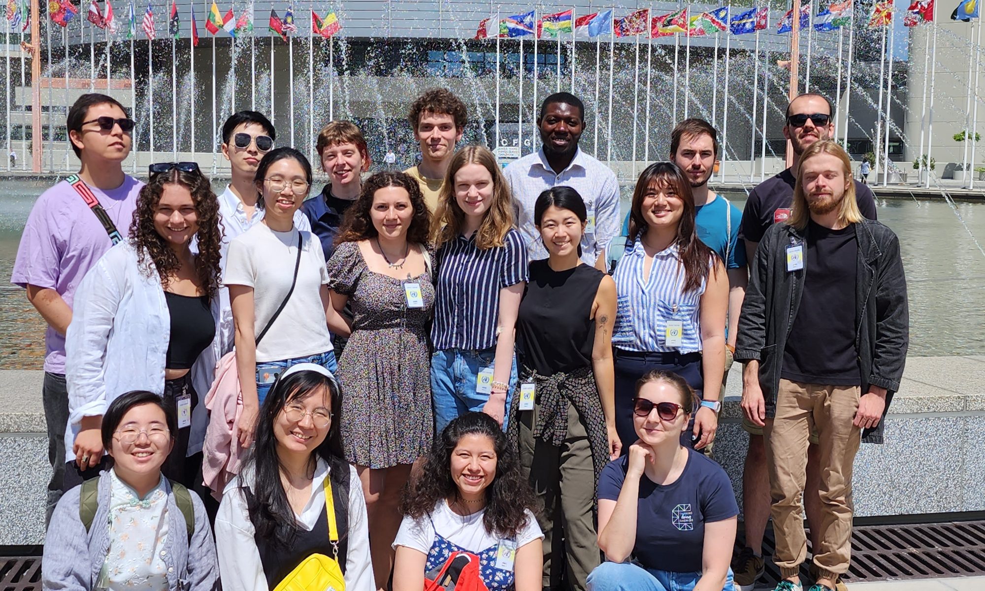
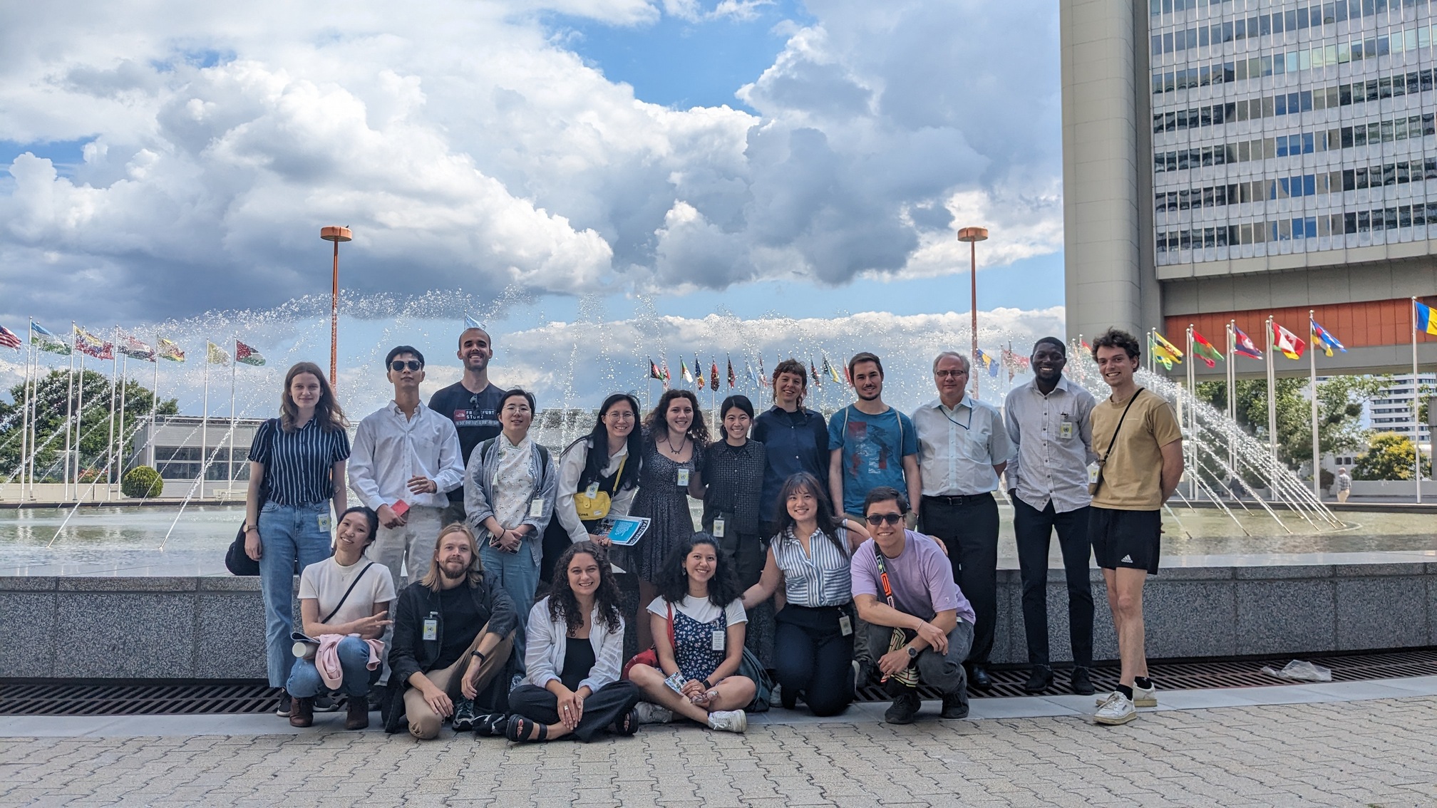
On June 28, the students of the Cartography Master programme visited the UN office in Vienna (UNOV). The chief of the UN-SPIDER Programme at UNOOSA in Vienna, Lóránt Czárán, gave the students an excursion in the exhibition space in UNOV. Then the visit continued in a conference room, where students listened to the presentations about the geospatial and cartography-related projects in the different UN offices.
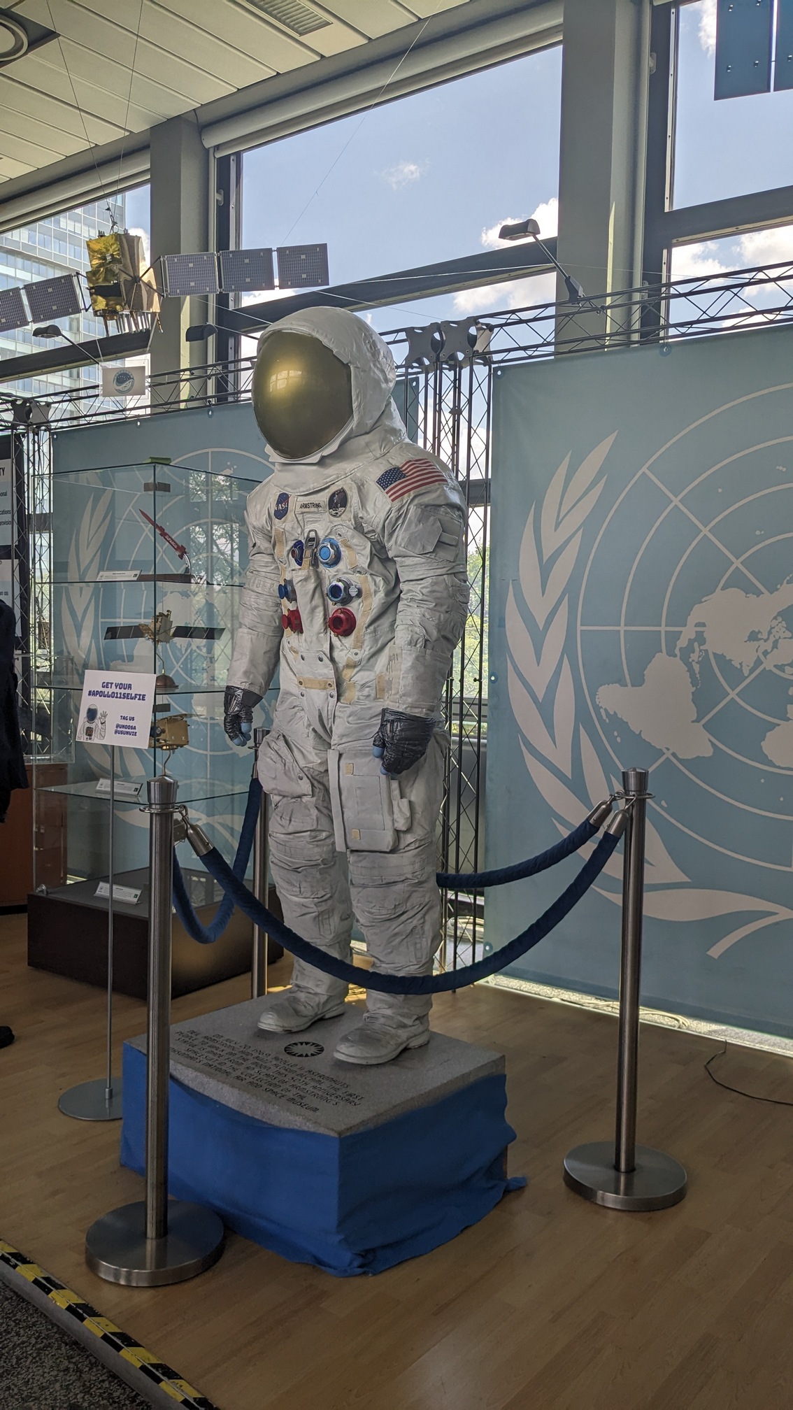
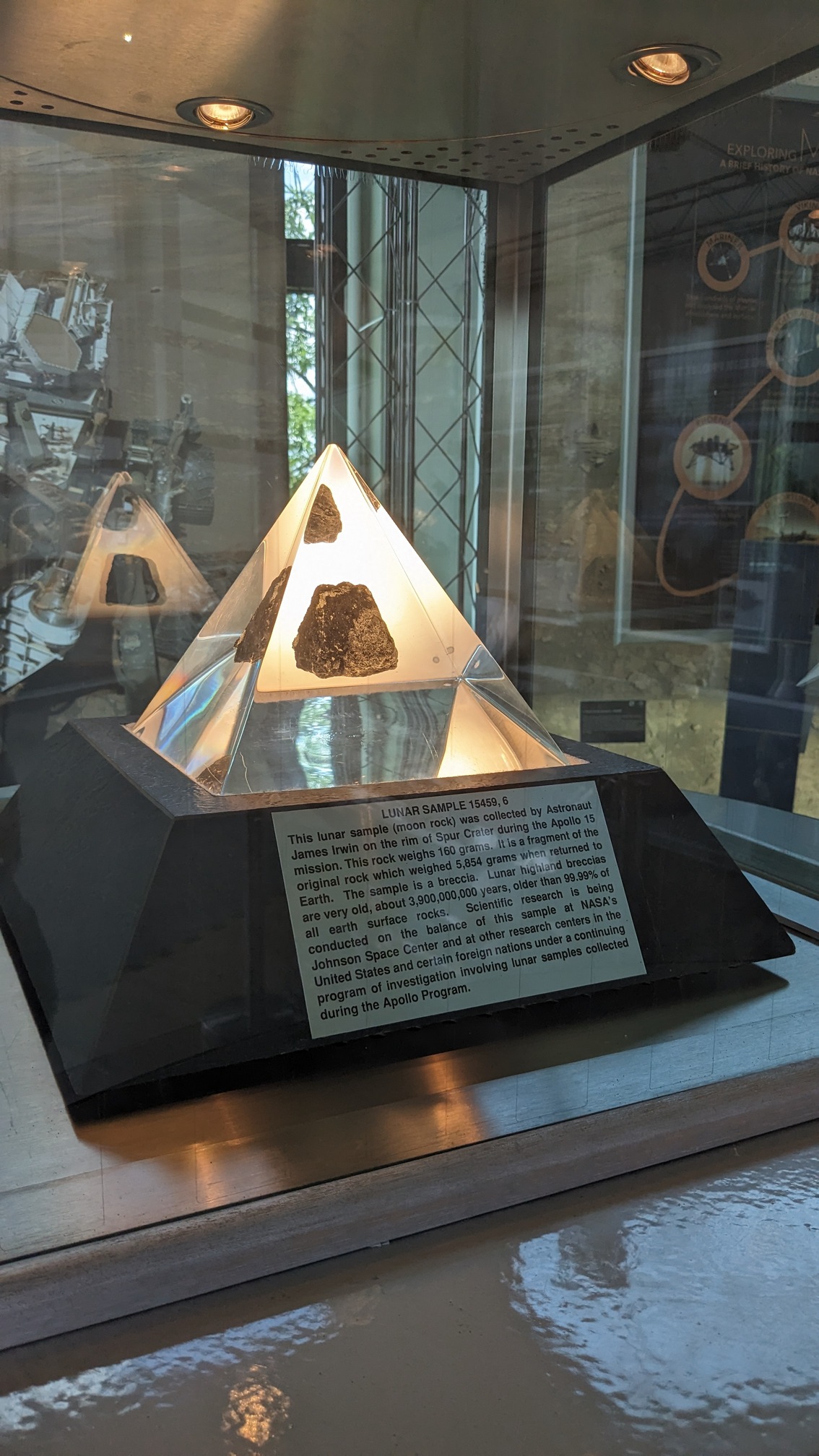
Exhibition at UNOOSA, a copy of Neil Armstrong’s costumeExhibition at UNOOSA, a Lunar sample
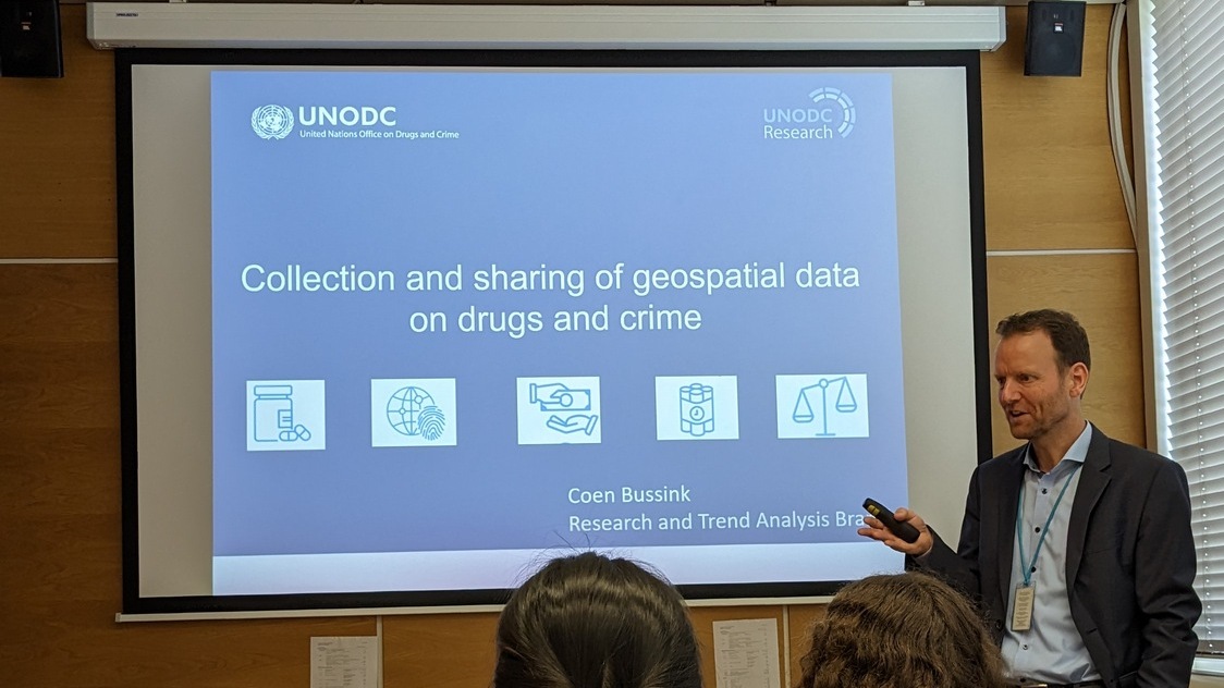
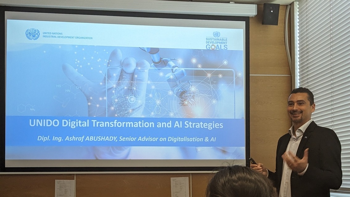
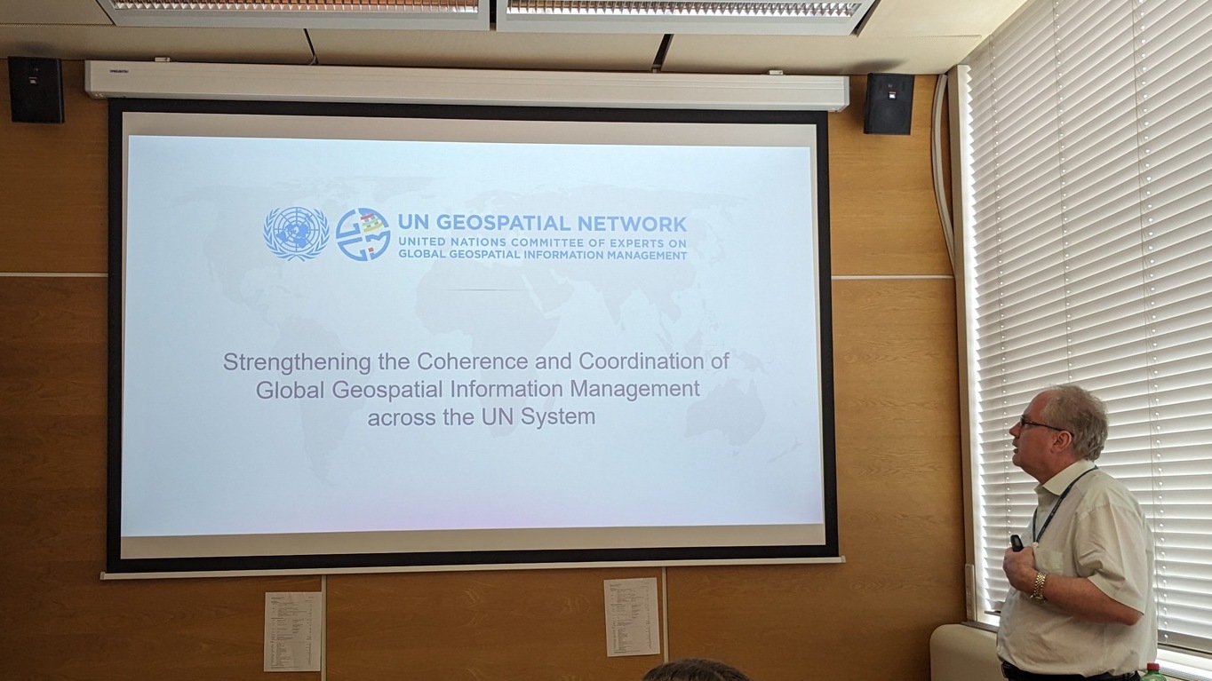
Coen Bussink from the United Nations Office on Drugs and Crime gave a presentation, Collection and Sharing of Geospatial Data on Drugs and Crime, where he told how the office helps the national governments monitor drug plant cultivation and wildlife abuse. Ashraf Abushady, Senior Advisor on Digitalisation and AI from the United Nations Industrial Development Organization (UNIDO) showed the presentation on UNIDO Digital Transformation and AI Strategies. It revealed the current trends in industrial development and how UNIDO supports countries in creating sustainable and hi-tech industries. Lóránt Czárán gave a talk about the Coordination of Global Geospatial Information Management across the UN System, where he described the challenges and the outcomes of the recently created UN Geospatial Network’s work. Finally, he presented the projects within the earth observation mission of the UNOOSA.
Coen Bussink, UNODCAshraf Abushady, Senior Advisor on Digitalisation and AI (UNIDO)Lóránt Czárán, the chief of the UN-SPIDER Programme at UNOOSA
The UNOV officers answered all students’ questions about the different offices’ work and the work in the UNOV. They encouraged Cartography Master students to apply for jobs at the UN and advised them on the possible career tracks there. We thank the UNOOSA and Lóránt Czárán for introducing the insides of the comprehensive UN environment!
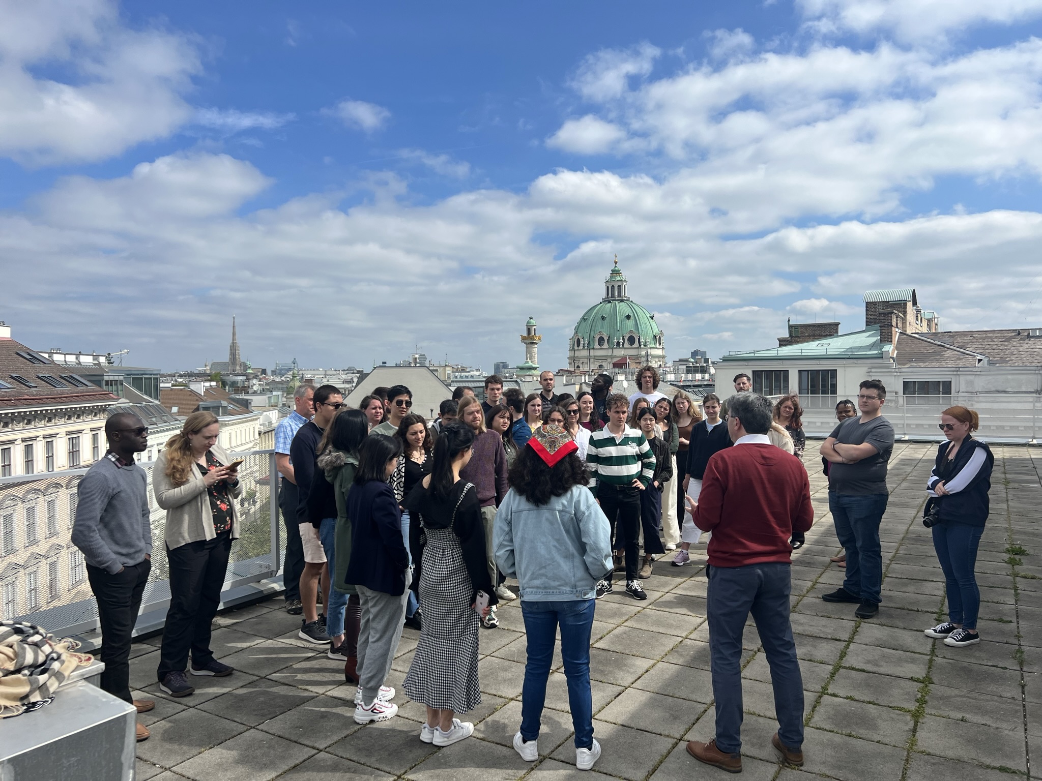
A group of students from Penn State visited our research group in the second week of May to give a workshop on working with big geospatial data of the pandemic. The workshop started on May 8 with a speech from Prof. Dr. Gartner about the current research in our group and a lecture from Dr. Kessler about his research on map projections. Dr. Kessler and Beth King, from the Geography Department of Penn State, introduced the assignment to students for the workshop: to develop a geographic visualisation of data related to the COVID-19 pandemic. Students were divided into 4 groups: Penn State students were working together with Cartography MSc students.
Prof. Gartner’s presentationDr. Kessler’s introduces the workshopProf. Gartner with guests and Cartography M.Sc. students on the rooftop of the Gußhaus Campus
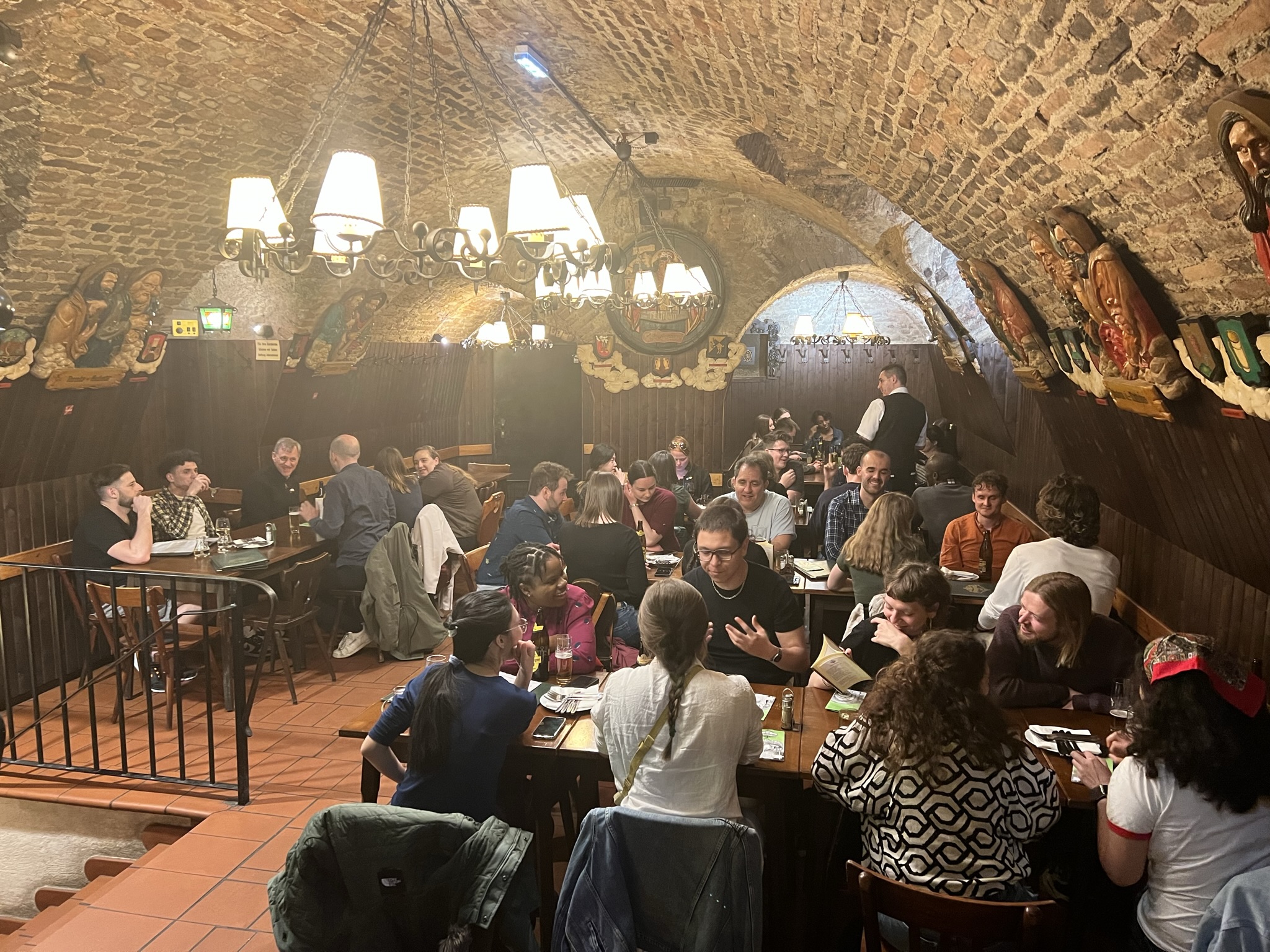
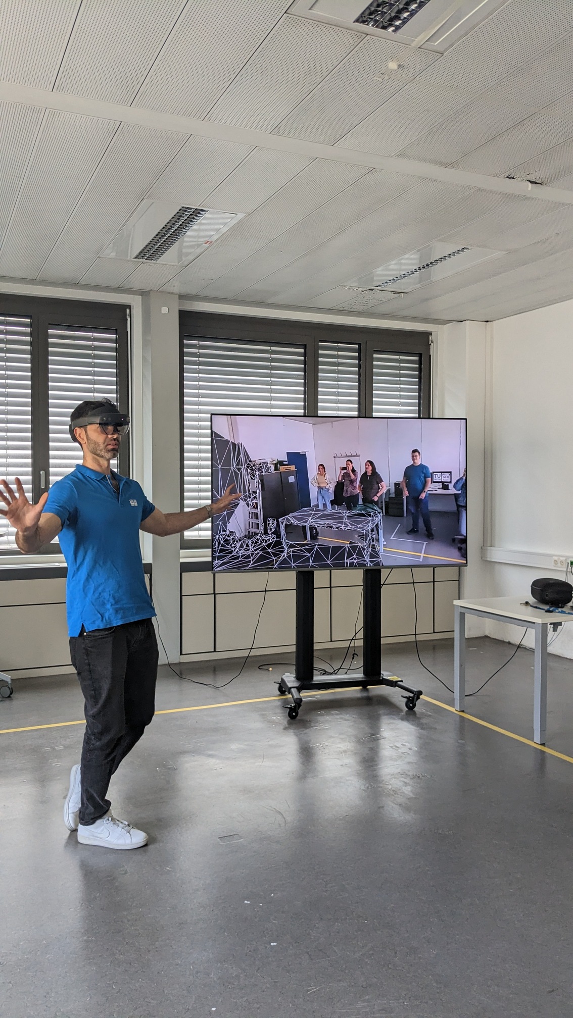
Besides working on a workshop project, our guests from the Penn State and Cartography MSc students participated in other educational and social activities. On Tuesday, they visited the Globe Museum in Vienna and had dinner together in a traditional Viennese restaurant. On Wednesday PennState students visited the AR lab in the Geoinformation group of our department, where Dr. Marcelo de Lima Galvao presented his research on Geo AI with the Microsoft HoloLens.
Dinner at ZwölfApostelKellerVisiting globe museumDr. Marcelo de Lima Galvao presenting the his research of Geo AI
The final presentation of the projects was on Thursday at TU Wien. Students produced four exciting projects. The first group, Team Globetrotter, presented an algorithm that ranked EU countries that were most vulnerable to the effects of the COVID-19 pandemic. The prototype dashboard showed three investment areas: hospitals, vaccinations, and information.
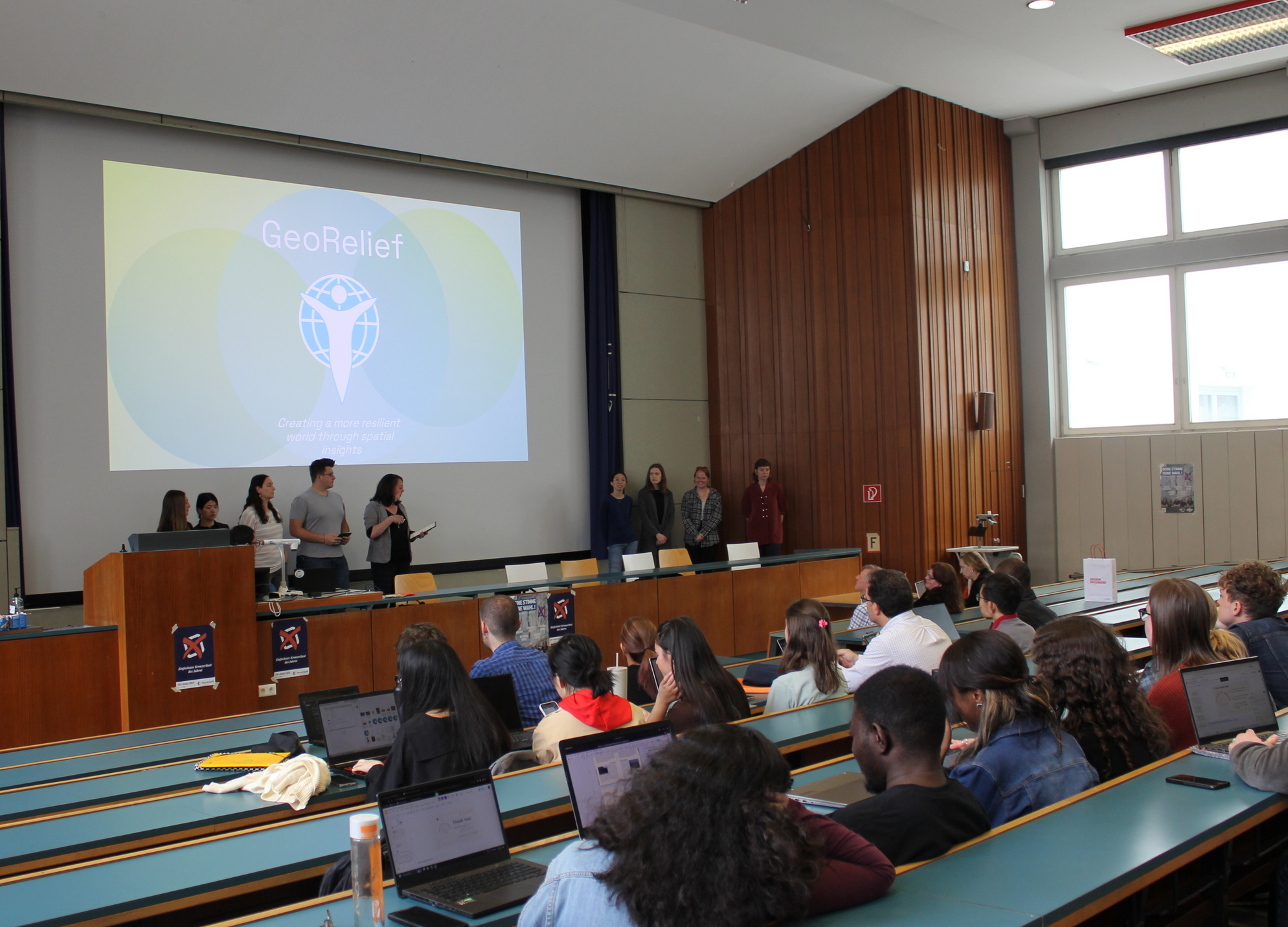
The second group, GeoRelief, sought to provide COVID-19 vaccinations for young Ukrainians in response to the ongoing Russian occupation that responds to a clearly defined humanitarian need. They introduced a dashboard that would help determine populations with the most need of COVID-19 vaccines, representing data and tools gleaned from these organisations.
Team GlobetrotterTeam GeoRelief
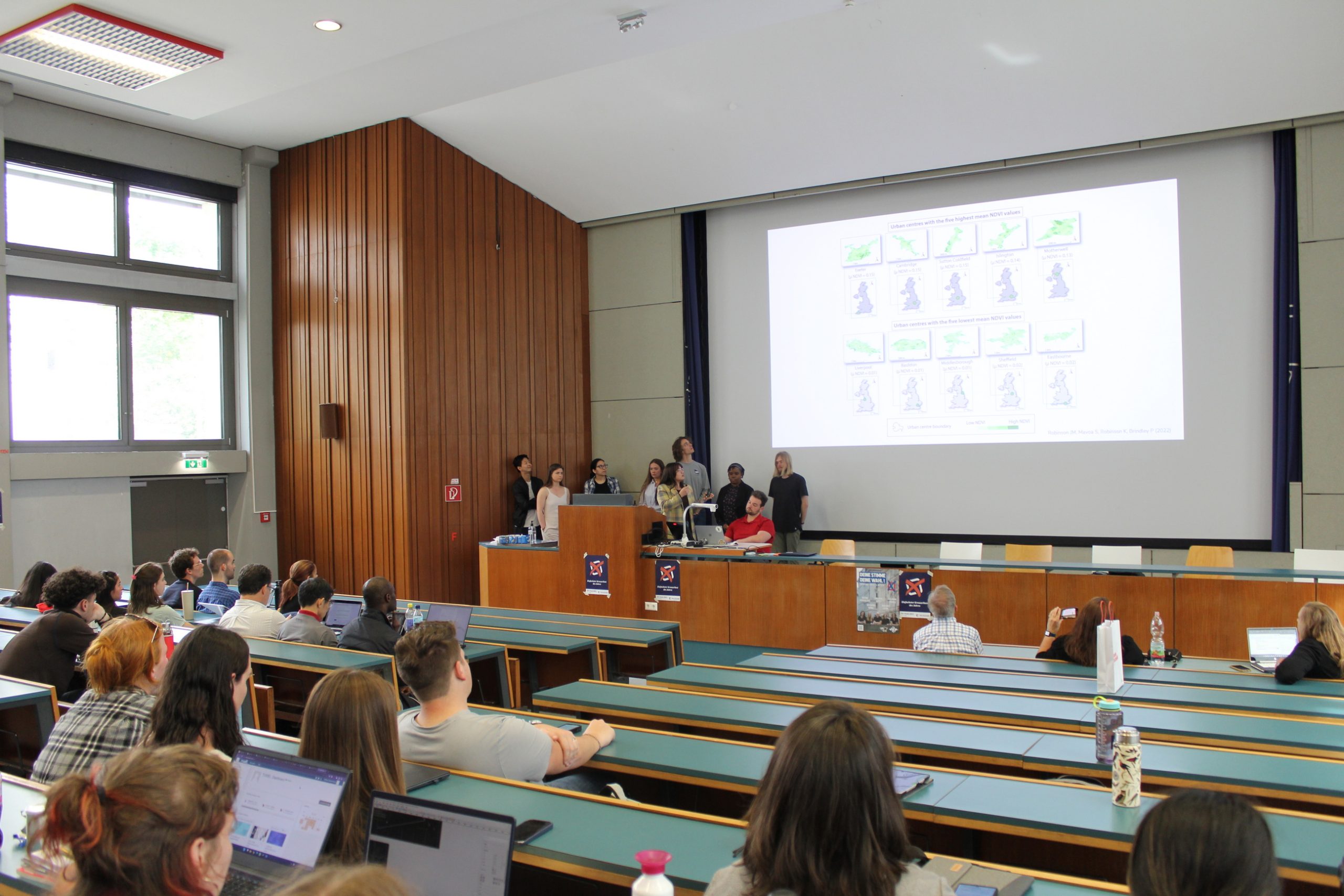
The third group, SeelenGarten, presented a clear mission and vision statement, linking the variables of green spaces with COVID-19 mental health impacts. They presented visuals such as sample geovisualization tools, NDVI details, and data related to the tree canopy and green spaces in their prototype.
The fourth group, Spatial Help, addressed the public health challenge of dealing with the aftermath of COVID-19. This team presented a fact-based characterization of COVID-19’s impact on mental health. Their dashboard’s representation of mental health facilities, showed the location of nearby service providers with the use of a quantitative modelling approach to measure vulnerable populations.
Team SeelenGartenTeam Spatial Help
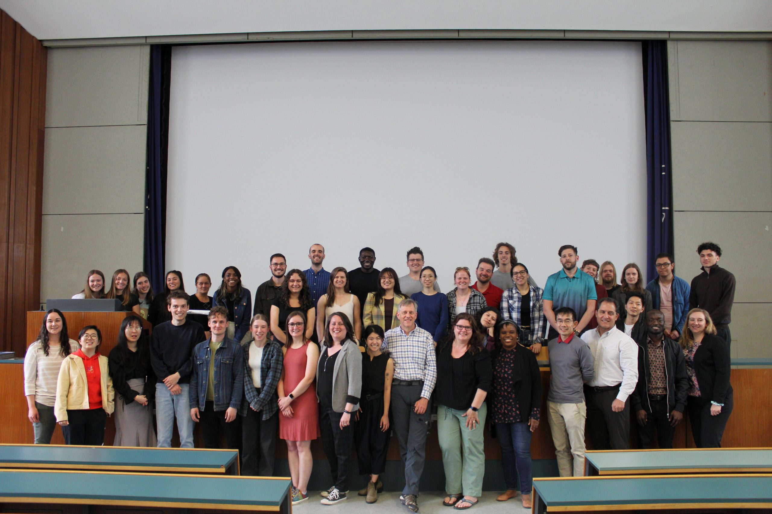
Cartography Research Group thanks the workshop organisers Dr. Kessler, Beth King and Brookelynn Constant as well as the Penn State students for visiting our research group and Cartography MSc students for their fruitful collaboration!
Group picture of PennState guests and Cartography M.Sc. students
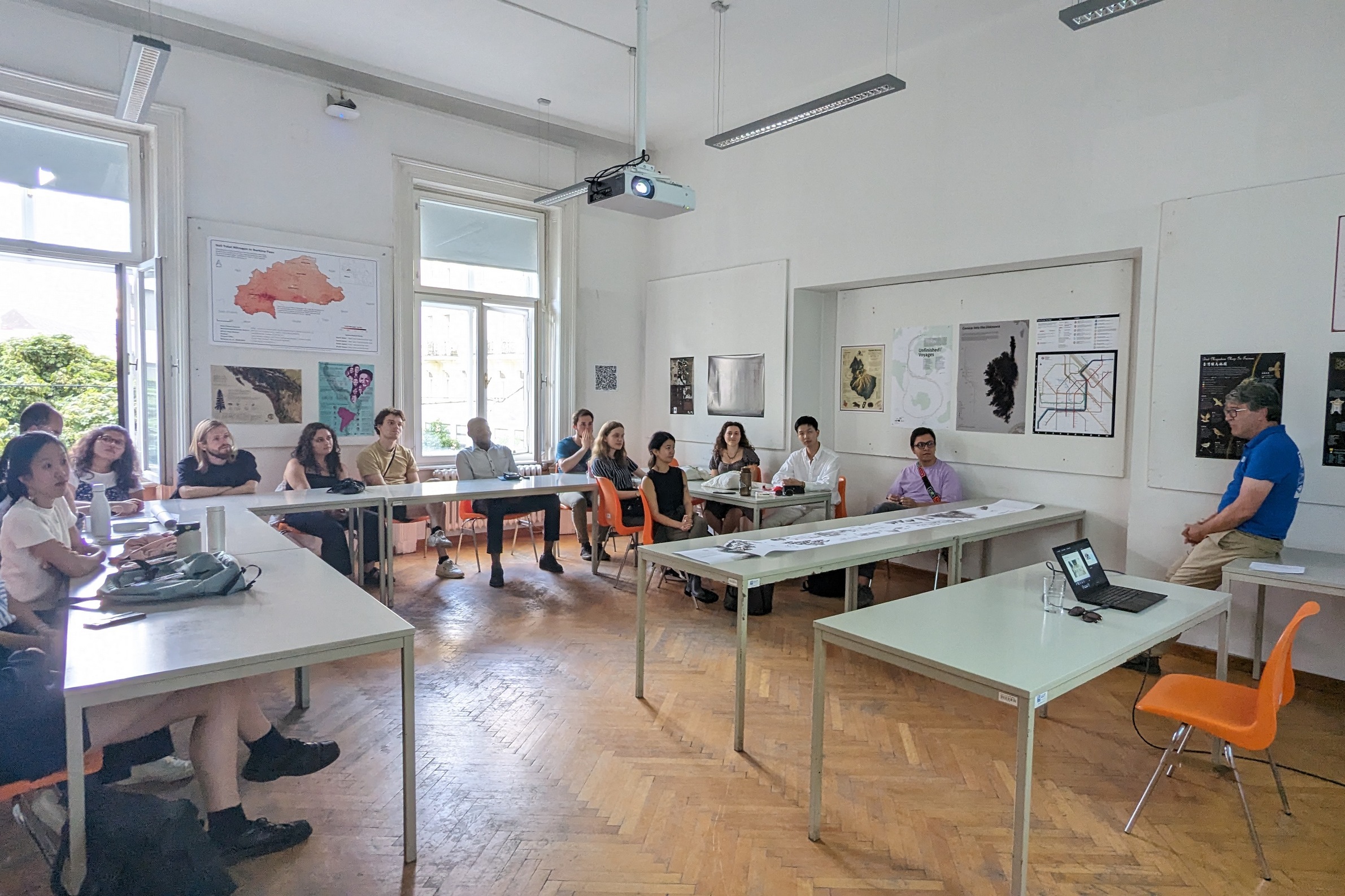
From May 2nd to May 5th, the Erasmus Mundus Master Cartography students received training from Philippe De Maeyer, a professor at Ghent University and an author of school atlases. The training focused on the creation and production of atlases.
In groups, the students examined methods for collecting data for atlas maps and how to make informed decisions about content and visualization. They also critically analyzed multiple atlases available on the market. During the final half-day, the groups presented their conclusions and discussed them with the entire group.
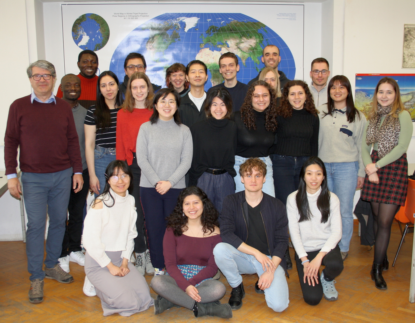
Twenty students from 16 countries will study with us in Vienna for four months. We wish them much exploration in the cartographic field and to enjoy their time in Vienna.
Students of the 12th intake with Prof. Dr. Gartner (left) and the local coordinator of the Vienna semester, Olesia Ignateva, MSc (right).
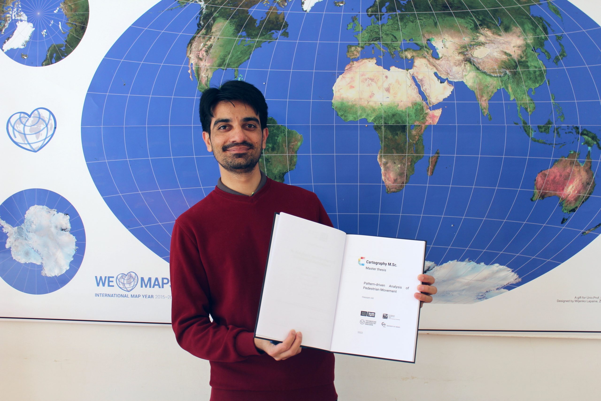
Hassam Ali, a student of the International Cartography M.Sc. programme, successfully defended his master’s thesis, “Pattern-driven Analysis of Pedestrian Movement,” supervised by Wangshu Wang, M.Sc.
We sincerely congratulate Hassam and wish him all the best in his future career!
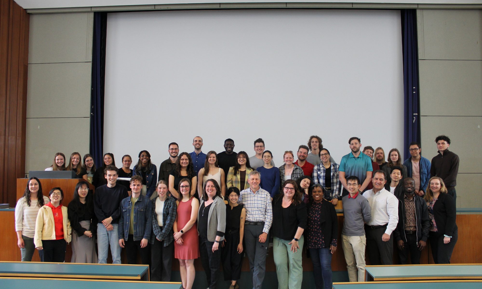
Five students from the Cartography M.Sc. programme successfully defended their theses at TU Wien on the 22ns and 23rd of September. We sincerely congratulate them and wish them success in the future discovers!
José Pablo Ceballos Cantú “Maps+ – Enhancing maps from knowledge networks” Vivien van Dongen “The application of a user-centered design framework for a static topographic ski touring map” Lydia Youngblood “Narrating the route” Sangho Lee “Tracing the Evolution of Digital Cartography in Cartography Textbooks” Héctor Ochoa Ortiz “Pedestrian routing of periodically changing areas using Volunteered Geographical Information (OpenStreetMap)”
Lydia Youngblood, Prof. Georg Gartner and Vivien van Dongen after the defense at TU Wien on the 22nd of September.