Penn State’s pandemic visualization workshop for Cartography MSc students

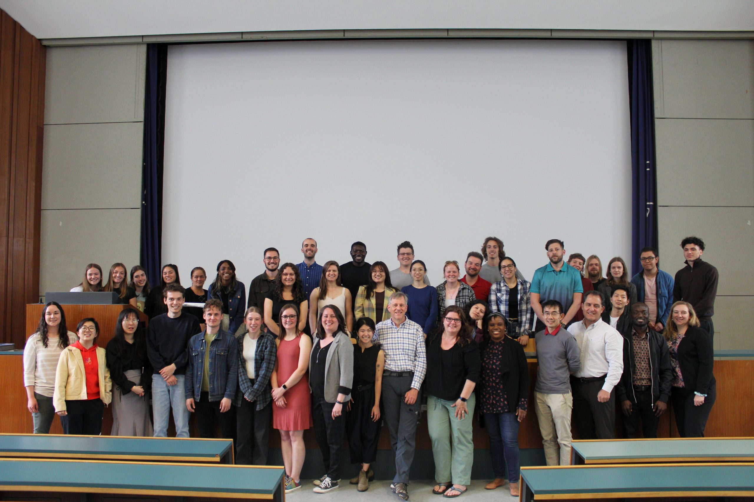
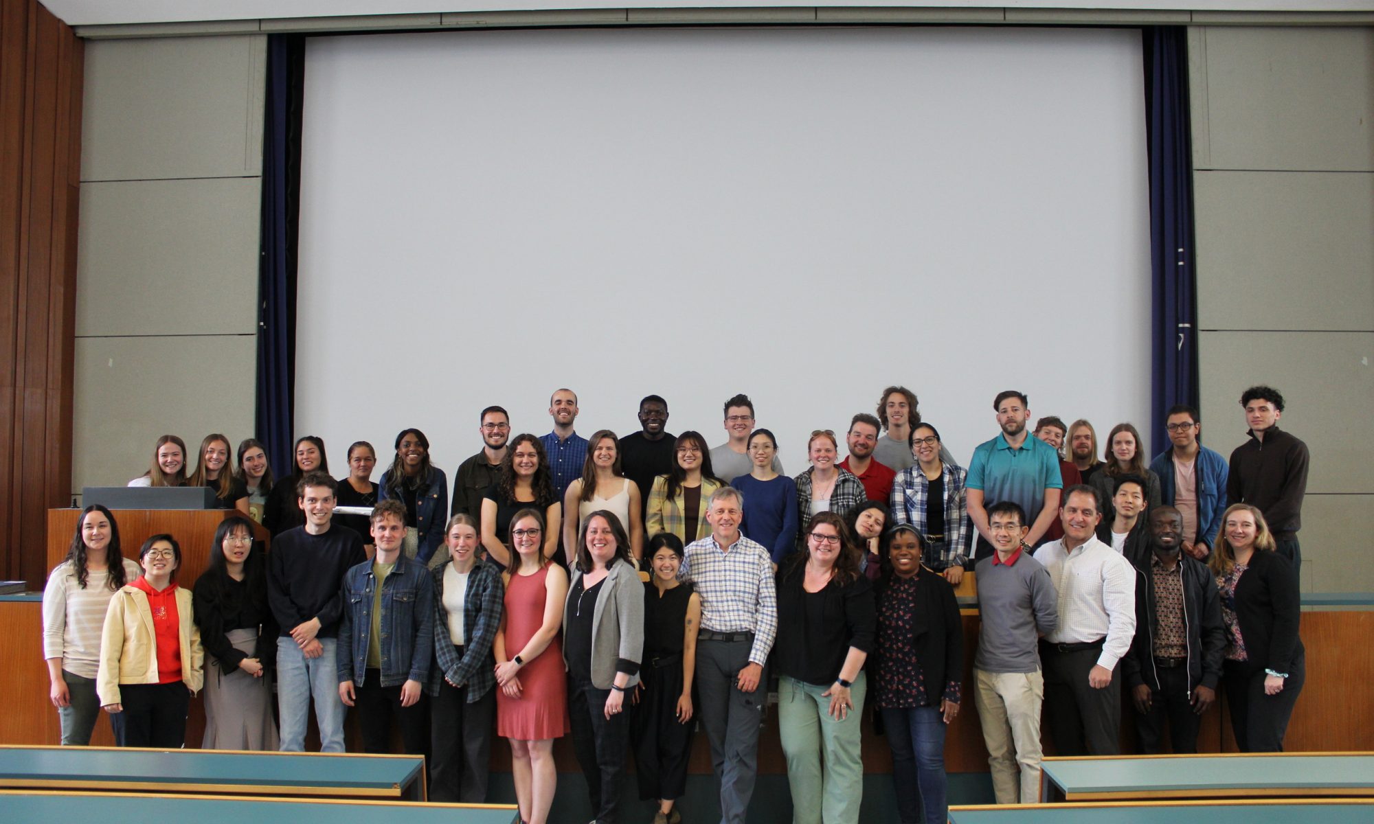
A group of students from Penn State visited our research group in the second week of May to give a workshop on working with big geospatial data of the pandemic. The workshop started on May 8 with a speech from Prof. Dr. Gartner about the current research in our group and a lecture from Dr. Kessler about his research on map projections. Dr. Kessler and Beth King, from the Geography Department of Penn State, introduced the assignment to students for the workshop: to develop a geographic visualisation of data related to the COVID-19 pandemic. Students were divided into 4 groups: Penn State students were working together with Cartography MSc students. 

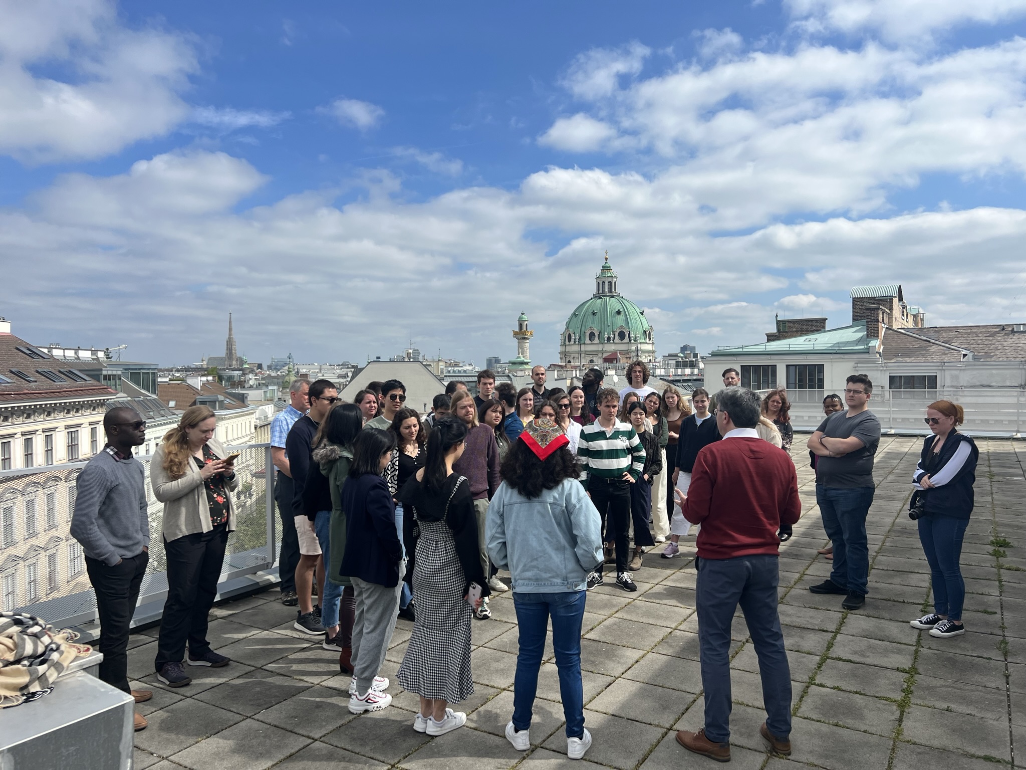
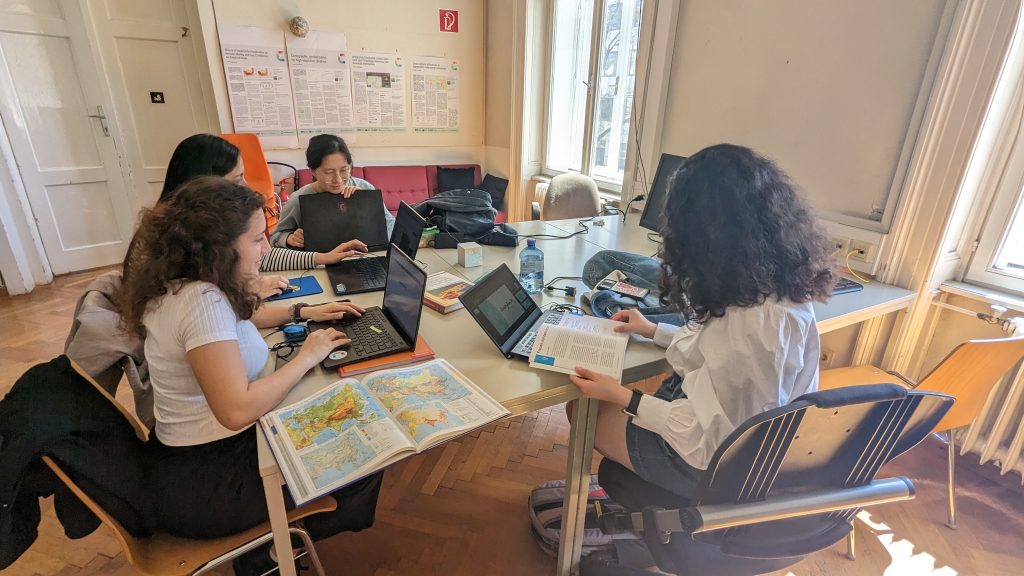
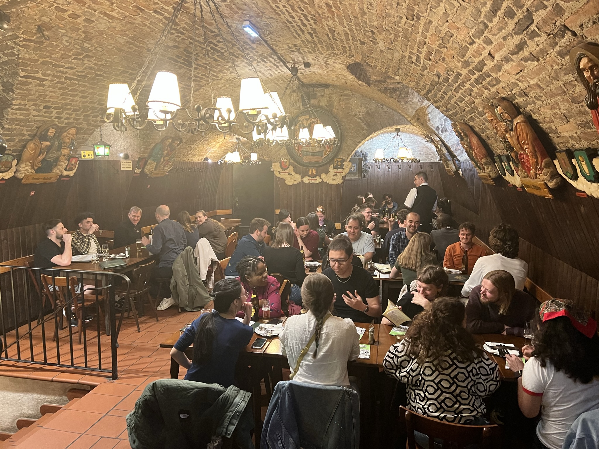
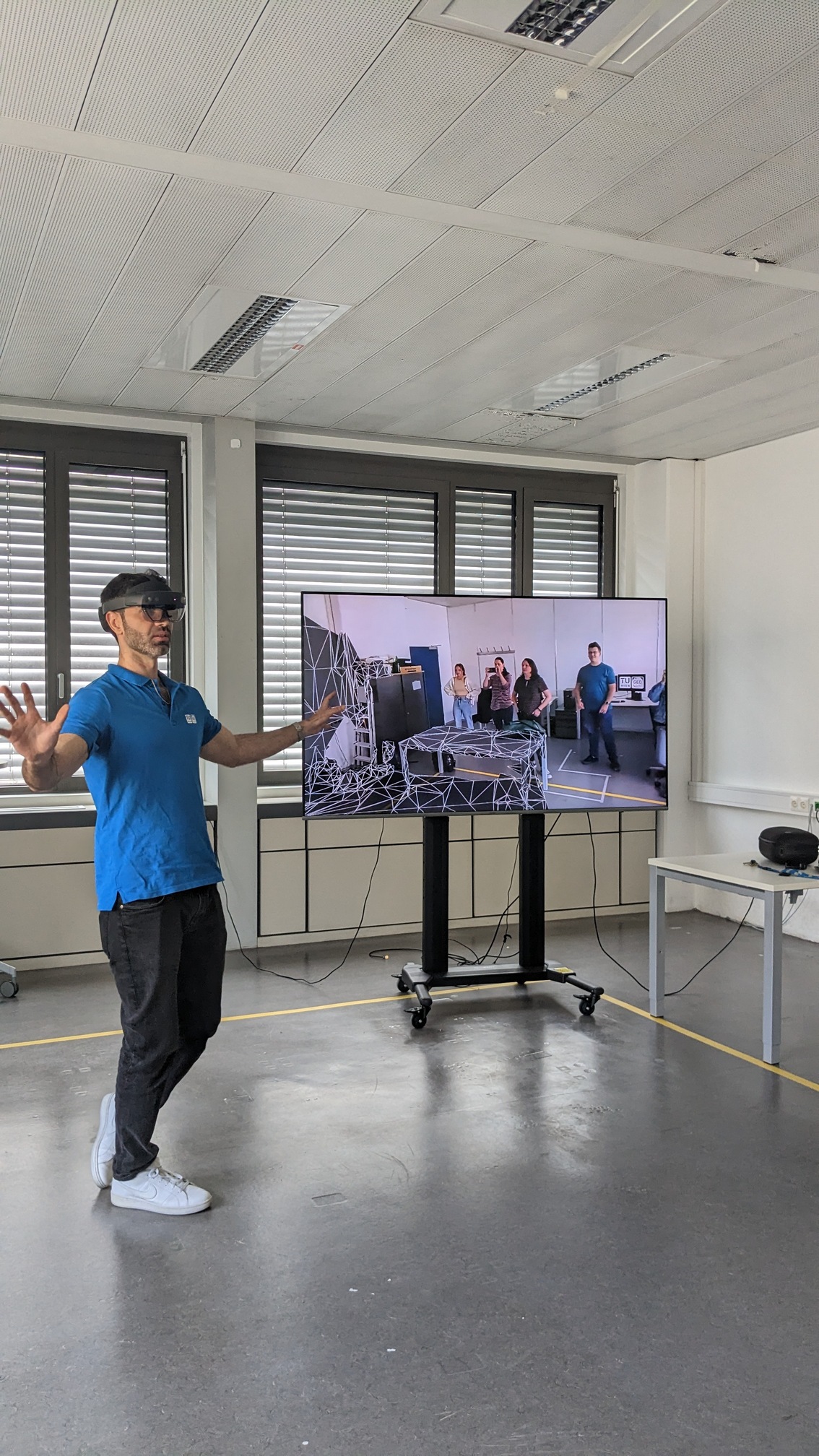
Besides working on a workshop project, our guests from the Penn State and Cartography MSc students participated in other educational and social activities. On Tuesday, they visited the Globe Museum in Vienna and had dinner together in a traditional Viennese restaurant. On Wednesday PennState students visited the AR lab in the Geoinformation group of our department, where Dr. Marcelo de Lima Galvao presented his research on Geo AI with the Microsoft HoloLens.

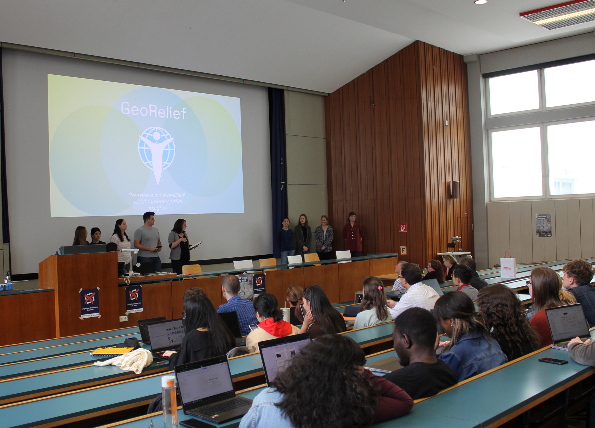
The final presentation of the projects was on Thursday at TU Wien. Students produced four exciting projects. The first group, Team Globetrotter, presented an algorithm that ranked EU countries that were most vulnerable to the effects of the COVID-19 pandemic. The prototype dashboard showed three investment areas: hospitals, vaccinations, and information. 

The second group, GeoRelief, sought to provide COVID-19 vaccinations for young Ukrainians in response to the ongoing Russian occupation that responds to a clearly defined humanitarian need. They introduced a dashboard that would help determine populations with the most need of COVID-19 vaccines, representing data and tools gleaned from these organisations. 

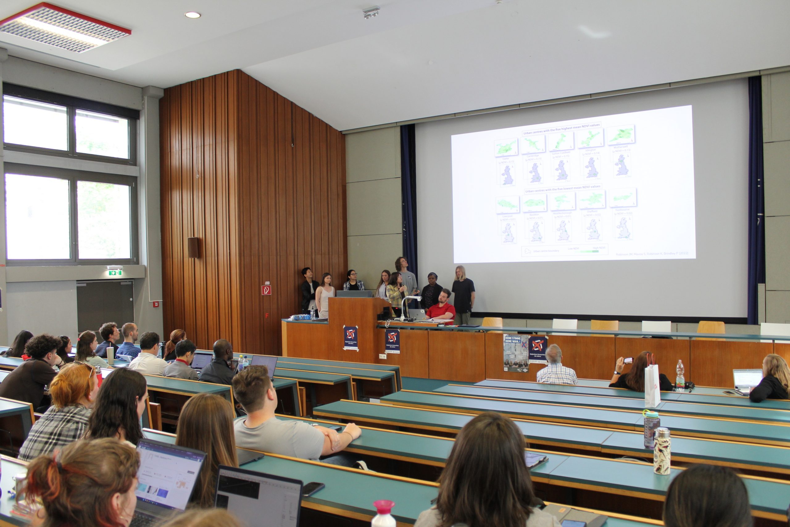
The third group, SeelenGarten, presented a clear mission and vision statement, linking the variables of green spaces with COVID-19 mental health impacts. They presented visuals such as sample geovisualization tools, NDVI details, and data related to the tree canopy and green spaces in their prototype. 

The fourth group, Spatial Help, addressed the public health challenge of dealing with the aftermath of COVID-19. This team presented a fact-based characterization of COVID-19’s impact on mental health. Their dashboard’s representation of mental health facilities, showed the location of nearby service providers with the use of a quantitative modelling approach to measure vulnerable populations. 

Cartography Research Group thanks the workshop organisers Dr. Kessler, Beth King and Brookelynn Constant as well as the Penn State students for visiting our research group and Cartography MSc students for their fruitful collaboration!

Group picture of PennState guests and Cartography M.Sc. students

Workshop on Atlases with Philippe De Maeyer

From May 2nd to May 5th, the Erasmus Mundus Master Cartography students received training from Philippe De Maeyer, a professor at Ghent University and an author of school atlases. The training focused on the creation and production of atlases.

In groups, the students examined methods for collecting data for atlas maps and how to make informed decisions about content and visualization. They also critically analyzed multiple atlases available on the market. During the final half-day, the groups presented their conclusions and discussed them with the entire group.

Dr Barend Köbben at our Research Unit

Dr Barend Köbben from ITC of the University of Twente visited our Research Unit Cartography in April 2022. The excellent and close cooperation of the four partner universities of the International MSc Cartography has reached a new level of engagement, with having Dr Köbben contributing significantly to the teaching of the class “Cartographic Information Systems” during the “Vienna Semester”. Besides this, his role as Thesis Semester Coordinator of the MSc Cartography programme was used to inform and steer the current 4th Semester master students accordingly.

We are thankful for Barend’s visit and his most beneficial contribution!

Thanks to our prominent guest lecturers of summer term 2020!

This summer term we had the pleasure to e-host six international guest lecturers who shared their research with our students from the International Master in Cartography:

  • Prof. Dariusz Gotlib (TU Warszawa): Selected qualities of mobile maps on the indoor navigation examples
  • Prof. Michael Peterson (University of Nebraska Omaha): Paradigms guiding Cartographic Research since the 1950s
  • Dr. Amy Griffin (RMIT Melbourne): The User is the Centre of the Universe: Designing Interactive Maps for End Users
  • Prof. Philippe de Maeyer (Ghent University): Semiology and Syntaxis in Cartography
  • Prof. Philippe de Maeyer (Ghent University): A Brief History of Cartography
  • Prof. Menno-Jan Kraak (University of Twente): Maps and Time
  • Prof. Rob Roth (University of Wisconsin-Madison): Cartographic Design and Visual Storytelling

Thanks to our guest lecturers!

This week we had the pleasure to welcome three prominent guests who shared their expertise with our students:

  • Prof. Philippe de Maeyer: lecture on Cartographic Semiology
  • Prof. William Cartwright: lecture on Cartography and Emotions
  • Dr. Kenneth Field: lecture on Design and Cartography
Georg Gartner and Kenneth Field

In his guest lecture, Kenneth Field shared his journey of making the book “Cartography.” On this occasion, he handed over a hard-cover copy of his book for our library. Thanks!

Farewell Hao Lyu

Hao Lyu, PhD student at TU Munich, has joined our research group for the past three months. Thank you for the exchange and all the best for your future career!

Farewell Benjamin Hennig

We are thankful for the guest lectures on Cartograms from Benjamin Hennig, Associate Professor of Geography at the Faculty of Life and Environmental Sciences of the University of Iceland and a honorary research associate at the University of Oxford. He researches social inequalities, humanity’s impact on Earth, global sustainability and the development of concepts for analysing, visualising and mapping these issues.