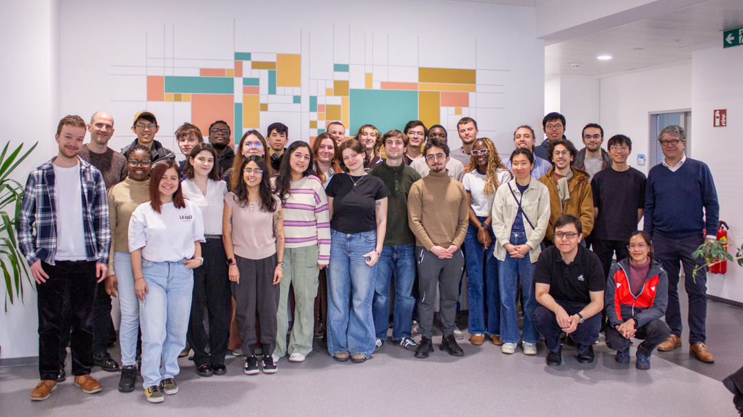
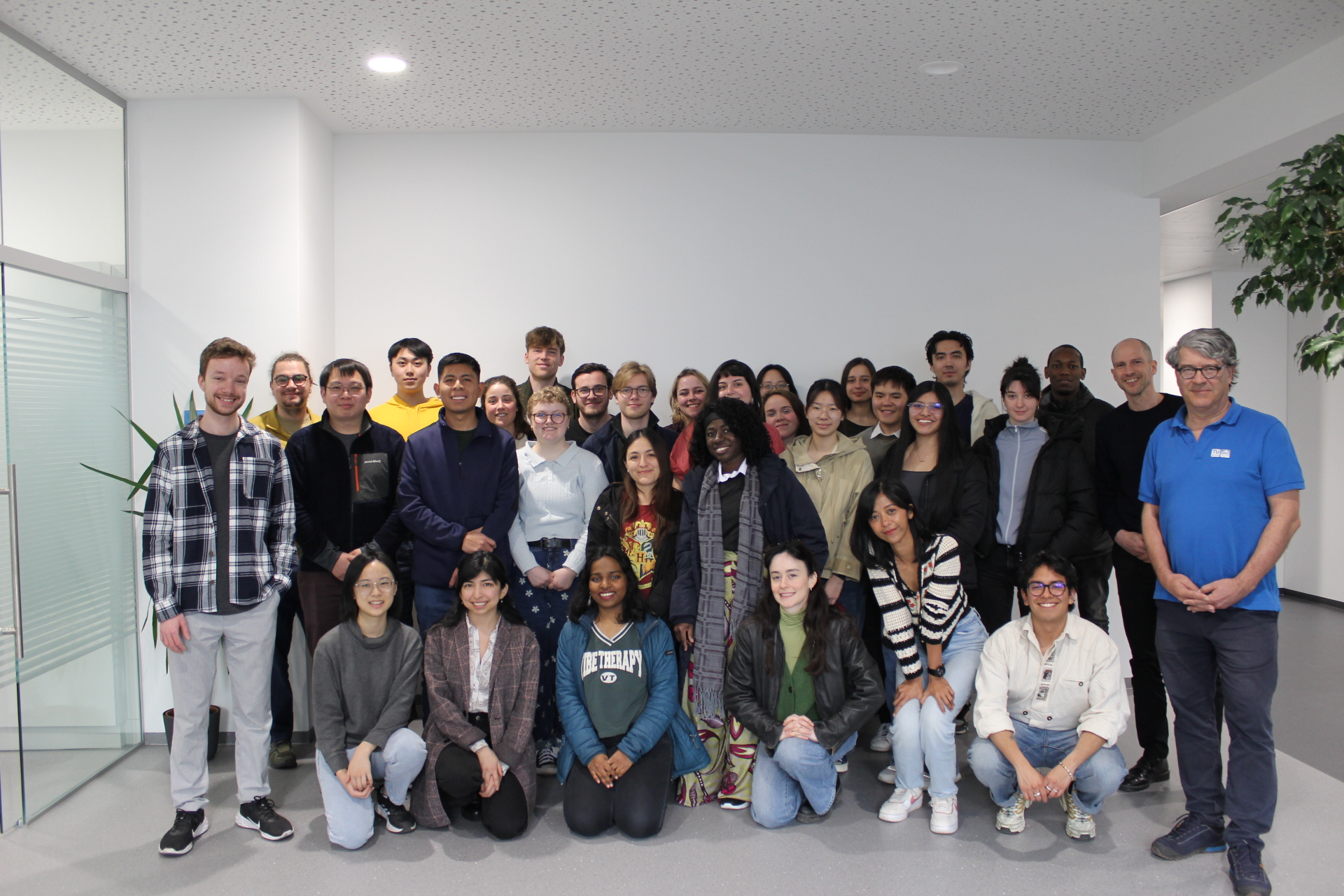
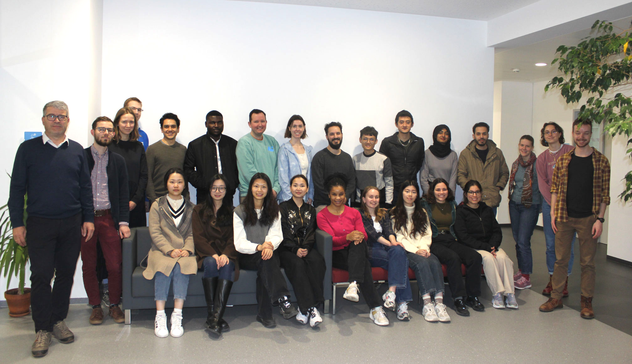
Already the 15th one! We wish a very warm welcome to Vienna to the new intake. On Thursday 5th of March, the new students of the International Master’s in Cartography program started their second semester with us, after their first semester in Munich.
The 29 students, from 20 different countries, will study with us in Vienna for four months. Through the 10 courses we offer, they will learn a broad range of theoretical and practical skills, all very useful for their cartographic career. We wish them a great time in their new city, and are looking forward to exchanging diverse perspectives on cartography!
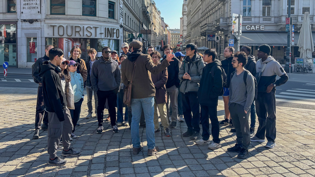
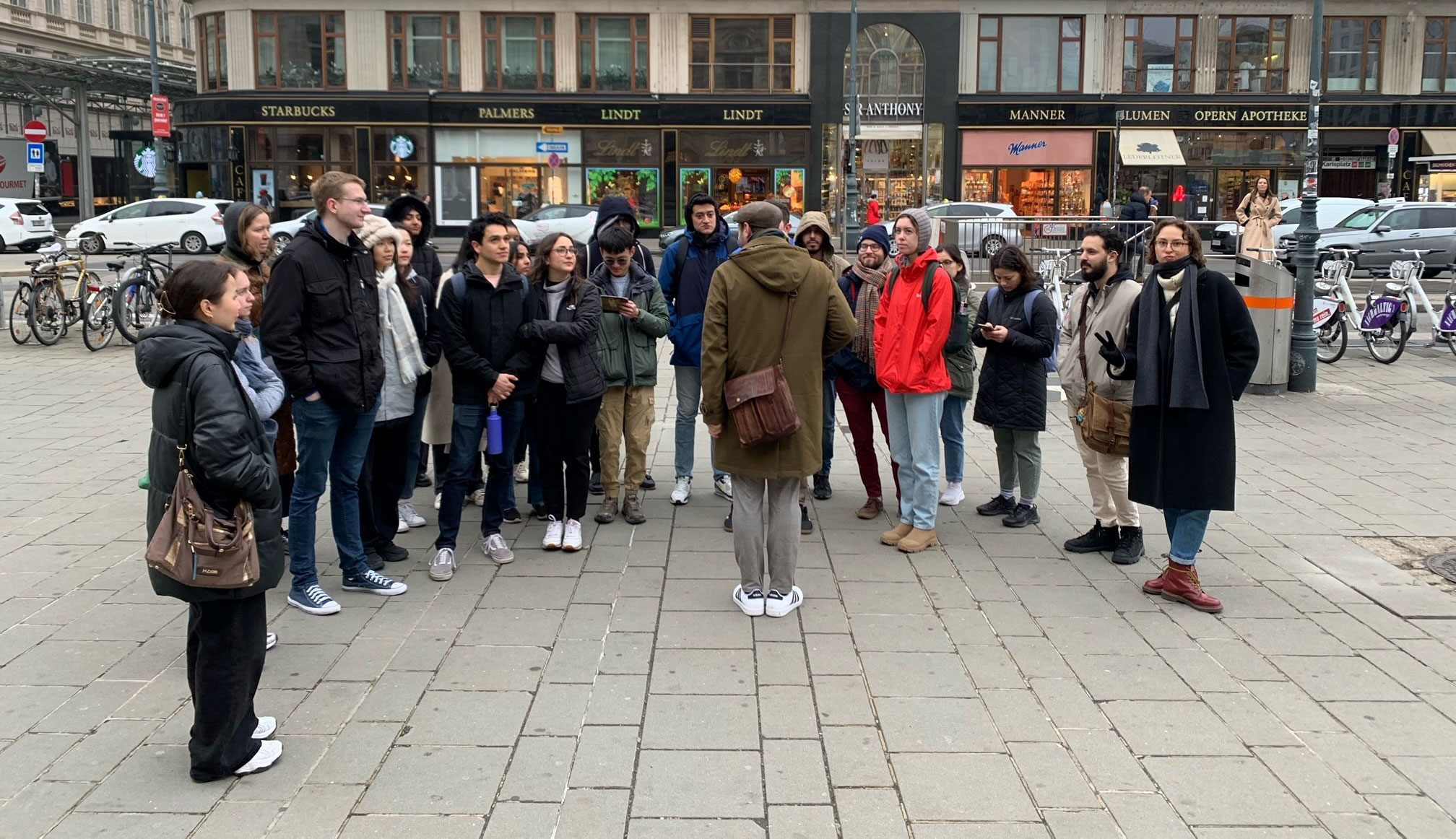
Students of the 15th intake, with our team.On Friday, they attended a city tour offered by a professional guide, Jan Kepinski
We are proud to announce that Nicolás Martínez Heredia has been awarded First Prize in the 2025 PAIGH (Pan American Institute of Geography and History) competition for the best master’s thesis in Cartography, Geodesy, or Geographic Information. His thesis, Perceptual Distortions in Cartography: Maps for Trickery, supervised by Florian Ledermann, was recognized by an international jury as the most original and rigorous contribution among entries from across the Americas. The evaluation highlighted the thesis’s novel conceptual framework, methodologically sound experimental design, and exceptional clarity of writing.
Congratulations to Nicolás on this well-deserved recognition of his research excellence!
Nicolás Martínez Heredia with his supervisor, Florian Ledermann
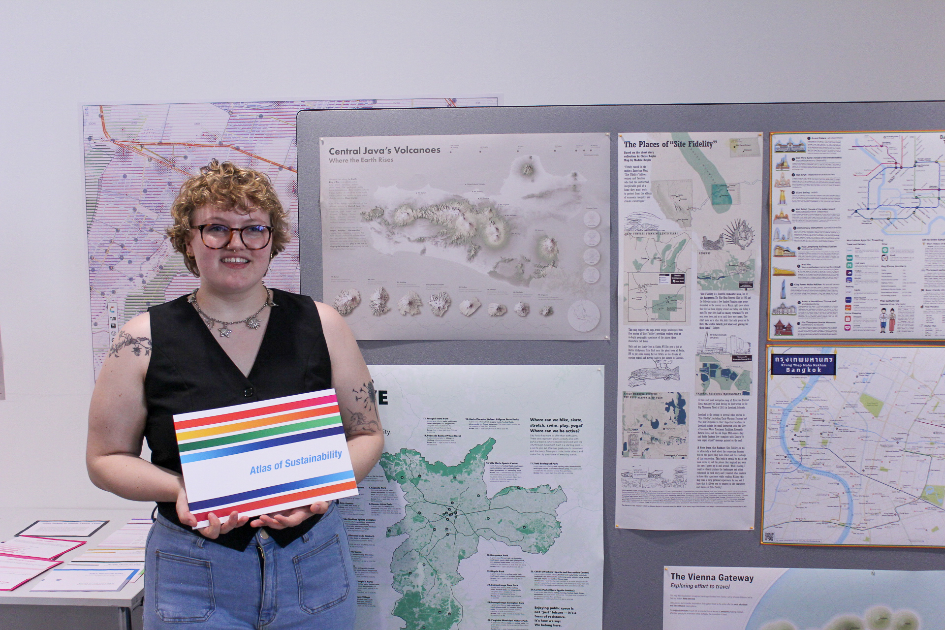
Would you like to see the maps that our students have created? Here, you can view in detail the maps they created for the Project Map Creation course this year, which was supervised by Manuela Schmidt and Camila Narbaitz Sarsur. Enjoy your visit!
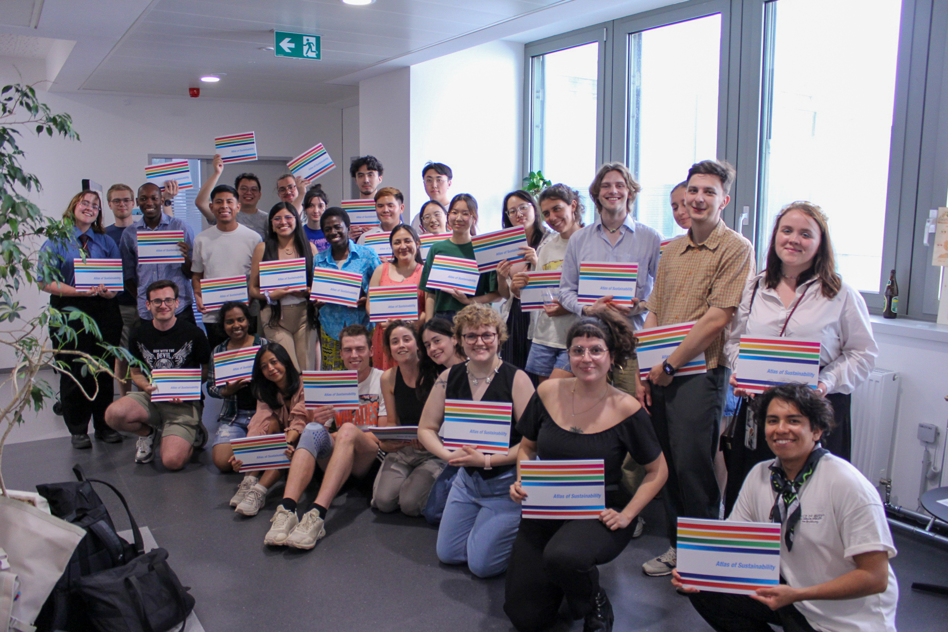
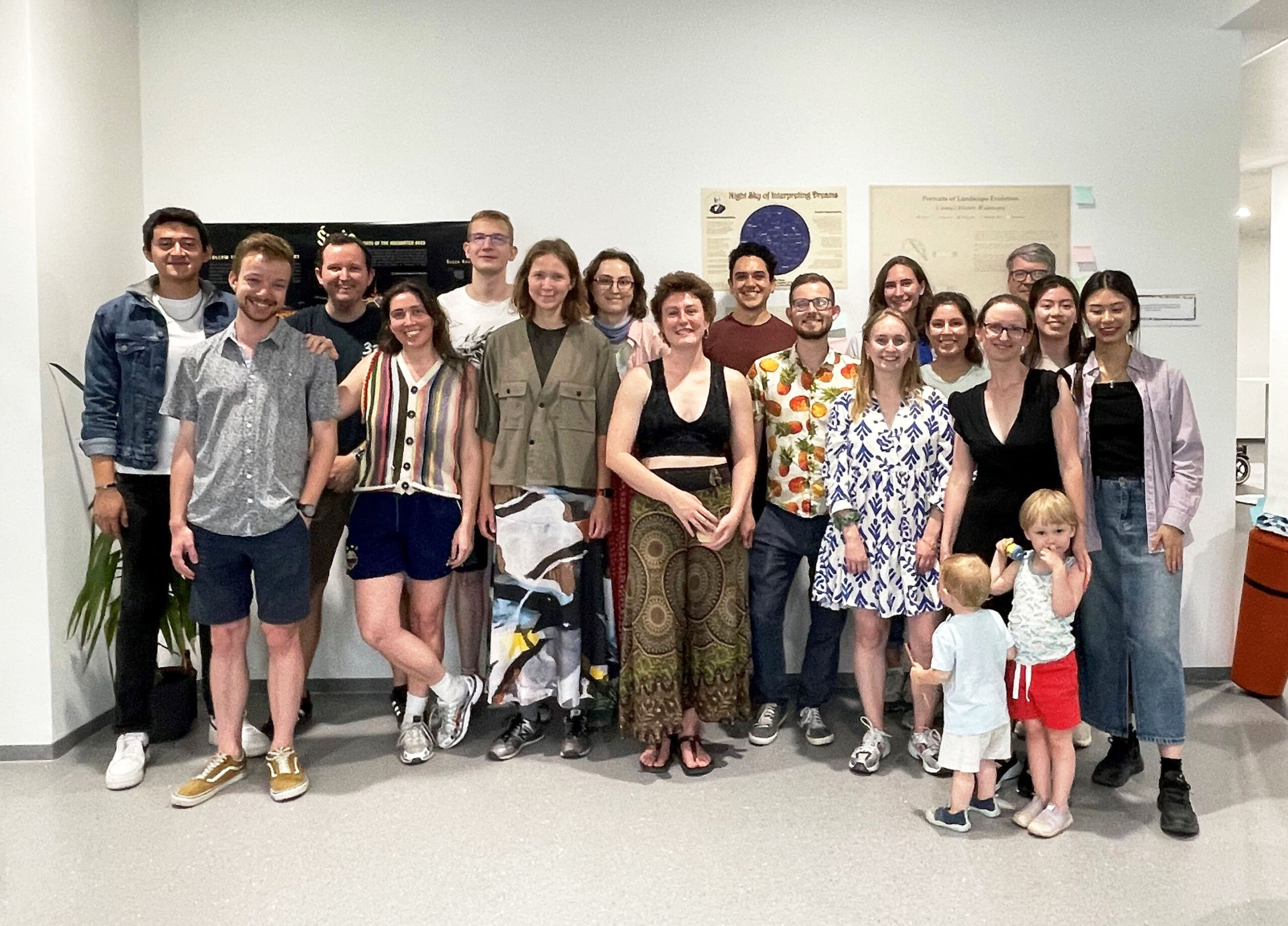
What a semester. Wednesday 25.06.2025 was a day of celebration as we held the farewell ceremony for all our wonderful cartography students!
Students of the 14th intake of the International Cartography Master
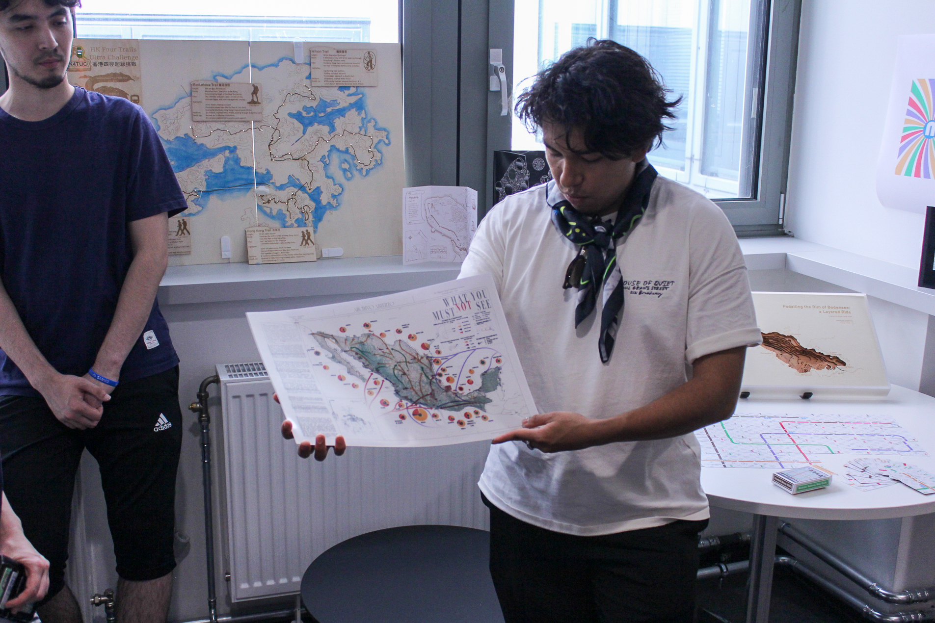
It was also the occasion of the annual map exhibition, where students present their semester-long projects. As part of the Project Map Creation course, supervised by Manuela Schmidt and Camila Narbaitz Sarsur, each student had the opportunity to create a unique map using the techniques of their choice. And, wow, what great projects!
Madeleine and her map “The Places of ‘Site Fidelity’ “Miguel and his map “What You Must (Not) See”
We wish all the best to the students for their next semester, at TU Dresden, and for their cartographic career!
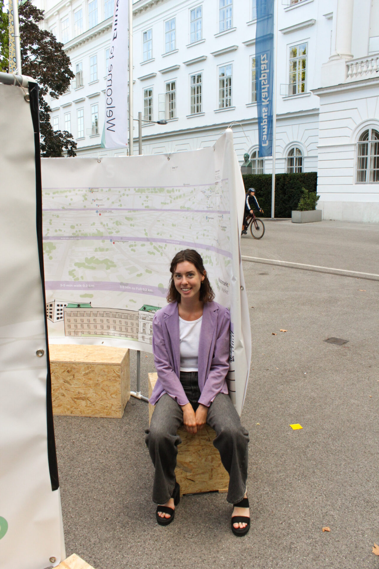
Our student Juliette Bricker has won the Arthur Robinson Award for Best Printed Map in the 2024 Map Design Competition organized by the Cartography and Geographic Information Society (CaGIS) for her outstanding work called “Wien 360 (Vienna 360)”.
This prestigious award recognizes excellence in maps or map series created specifically for print or static media. As part of this honor, Juliette’s map will be added to the Library of Congress collection.
Juliette designed the “Wien 360 (Vienna 360)” map during her second semester in the MSc Cartography program at TU Wien, as part of the course “Project Map Creation”. The map was also showcased at the “EuroCarto 2024” conference.
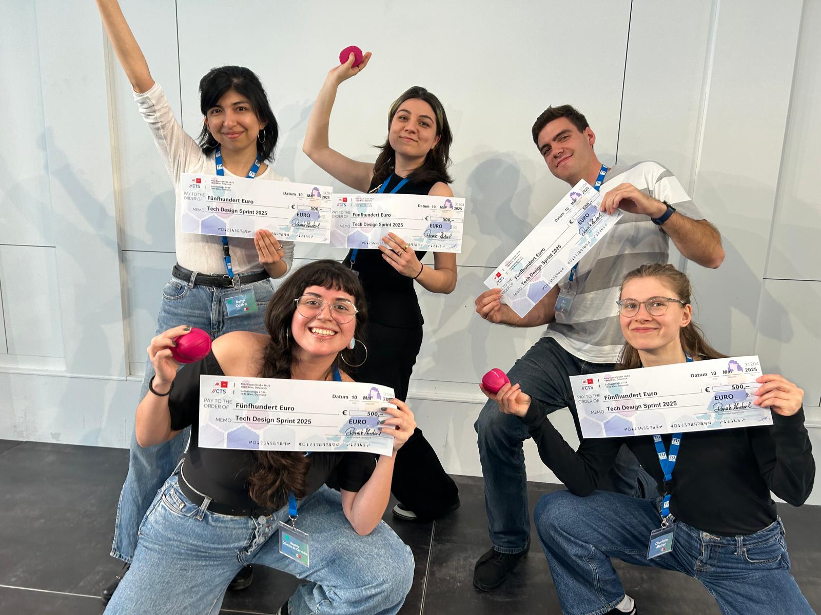
Congratulations to our students Bea and Betty (14th intake) who won – together with three other students from TU Wien – the award for Technical Excellence within the Tech Design Sprint competition. The Tech Design Sprint 2025 took place from May 8–10 at the AK Bildungszentrum in Vienna. The event was organized by the Center for Technology & Society (CTS) in collaboration with AK Wien, and brought together interdisciplinary student teams under the theme: “Exploring Deep Tech for a Fair and Sustainable World”.
The group of Bea and Betty worked on Challenge #5: Energy. They designed an educational game called “Smooth Operators” about energy distribution in Vienna that included:
a map-based interface using real city locations;
mini-games that teach players how to, for instance, balance the electricity grid and avoid both overload and underuse;
dilemma cards based on real trade-offs in sustainability, user satisfaction, and available resources;
and exploration challenges that encourage players to engage with the city and reflect on energy use.
Since this was a 3-day sprint focused on design thinking, they didn’t develop the full game, but instead created a complete concept and mockups.
The idea is for the game to be embedded in the official website of Wiener Netze, the company responsible for electricity distribution in Vienna. It would use players’ answers to the dilemmas to reflect on the real-life decision-making of the grid operator. In the future, it could also offer space for players to share and discuss these decisions, supporting public awareness and engagement around energy topics.
Team members: Beatriz Oliveira de Carvalho and Betty Selena Castro Benavides (MSc Cartography) | Charlotte Melzer, Theo März and Sofija Radojevic (other study programmes TU Wien).
Welcome to Vienna! On the 6th of March, the new intake of the International Master in Cartography program started their second semester at the Research Unit Cartography of the TU Wien.
The 31 students, from 24 different countries, will study with us in Vienna for four months. We are very glad to welcome them here and to exchange perspectives and knowledge on cartography!
Students of the 14th intake with Prof. Gartner (right) and the local coordinator, Sacha Schlumpf, MSc (left).City tour with a professional guide, Jan Kepinski.
The 28 students of the 13th intake of the International Master in Cartography have finished their second semester here at TU Wien!
We want to thank them warmly for all their hard work, and especially for their boundless creativity. Over the various courses during the semester, they produced maps of a particularly professional quality.
We wish them all the best for their third semester in Dresden, Germany, and look forward to seeing them again soon!
Twenty-eight students from 17 countries will study with us in Vienna for four months. We are very excited to exchange our different perspectives on cartography and to experience Vienna together!
Students of the 13th intake with Prof. Dr. Gartner (left) and the local coordinator, Sacha Schlumpf, MSc (right).City tour with a professional guide, Jan Kepinski.
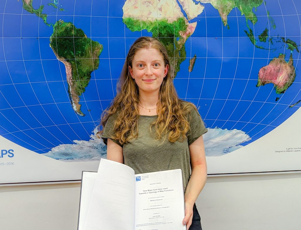
Three students from the 11th intake of the Cartography Master’s program have recently successfully defended their master’s theses at our research unit.
Moreover, celebrating the defence of our programme’s 200th graduate, Julia Schiller, was a special occasion. She defended the thesis on the topic “Typology of Map Functions” under the supervision of Prof. Georg Gartner.
Oskar Baumann introduced his thesis “The Nuances of Mapping Street Art – Developing a Web Map for Interactive Graffity Exploration”. His supervisors were Benjamin Wild and Prof. Norbert Pfeifer from the Research Unit Photogrammetry.
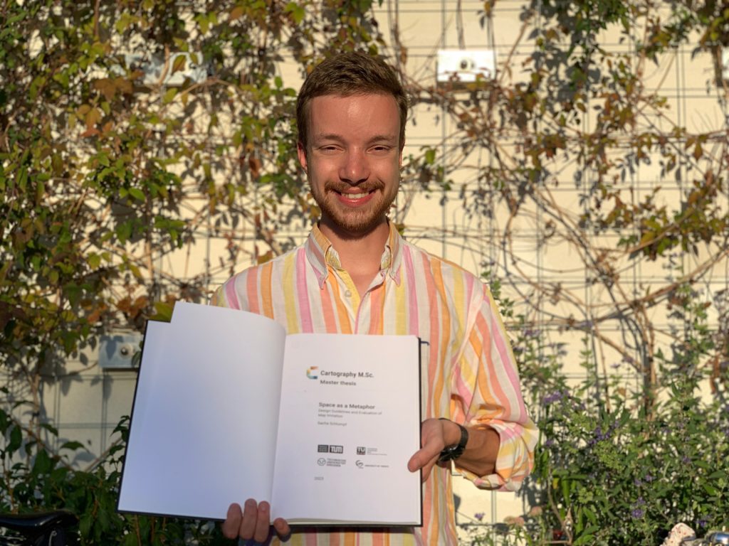
Sacha Schlumpf presented his thesis “Space as a Metaphor”, supervised jointly by Prof. Georg Gartner and Jethro Lennox from HarperCollins Publishers in the UK. Thus, he concluded successful defences of his intake at TU Wien.
Congratulations to them, and all the best in their future explorations!