
Dear colleagues and friends, we would like to thank you for the collaborations in 2017. We are looking forward to working with you in the upcoming year! Our best wishes for a pleasant holiday season and a prosperous New Year!

Dear colleagues and friends, we would like to thank you for the collaborations in 2017. We are looking forward to working with you in the upcoming year! Our best wishes for a pleasant holiday season and a prosperous New Year!
We congratulate Kaidi Guo and Christopher Hogg for finishing their International Master in Cartography!
Well done and best wishes for your future careers!
Die Exekutivagentur Bildung, Audiovisuelles und Kultur der Europäischen Kommission (EACEA) fördert durch ihr Programm Erasmus+ Studierenden-Mobilität im Rahmen von Joint Master Degrees. Das an der TU Wien eingerichtete Masterstudium Kartographie konnte bereits in der Förderrunde 2014 diese begehrte Förderung für drei Jahre erringen. Es ist umso erfreulicher, dass dies in der aktuellen Runde erneut gelungen ist und die Kartographie unter den 38 erfolgreichen Programmen ist (bei 116 Anträgen). Das frei.haus der TU Wien berichtet dazu.
Nähere Informationen zum Studium finden sich auf der neuen Programm-Website cartographymaster.eu
Congratulations to our students who just presented their bachelor theses successfully:
Well done and best wishes for your future careers!
Every semester students are given the opportunity to anonymously evaluate their classes. A big thanks to all our students who shared their feedback on our classes held in summer term 2017!
Student feedback for Cartographic Information Systems:
Very considerate lecturers according to problems in the exercise and questions in the lecture. Very useful topics!
Student feedback for Thematic Cartography in Regional Planning:
Für mich eine der besten und interessantesten übungen bisher. Die übungen waren gut beschrieben und verständlich. Die dafür aufgebrachte zeit war angemessen. Man hat einiges mitnehmen können, was für zukünftige kartengestaltungen/kartenerstellungen von nutzen sein wird. Eine der wenigen übungen auf die man sich gefreut hat.
Student feedback for Web Mapping:
Extremely satisfied.
Student feedback for Programming Cartographic Tasks (winner of TU’s Best Lecture Award 2017):
Gut aufgebaute Vorlesung mit den Unterlagen die immer auf dem aktuellen Stand online zur Verfügung standen. Die Bereitstellung des Codes der Beispiele aus der Vorlseung war ein guter Service und Impulsgeber für die Druchfürhung der Programmierbeispiele. Das optionale Angebot des JavaScript Kurs und die Motivation des Vortragenenden auf jede Frage sofort – auch außerhalb der Vorlesungszeit – mit der Antwort zu dienen ist sehr hervorzuheben.
Student feedback for Location Based Services:
The combination of lectures and project turned out to be a very good combination in and motivating for exploring the topic.
Student feedback for Applied Cartography:
Die ohnehin schon sehr spannenden Inhalte wurden sehr anschaulich und verständlich an die StudentInnen übermittelt. Zudem boten die Vorlesungseinheiten eine gute Vorbereitung für die zu absolvierenden Übungsaufgaben.
We would like to present you another wonderful student project from this summer semester created within the class Thematic Cartography, a third semester bachelor class for Spatial Planning students. The map is called Khalid’s Way and was created by Jakob Listabarth. He describes his work in the following way:
This map tells the story of Khalid’s journey from Yemen to Austria. It shows merely one personal refugee-story out of the countless other ones, which we normally only hear about through statistics, in newspapers, or from television.

Jakob Listabarth studies Spatial Planning at the Technical University of Vienna. Before that, he studied Information Design where he focused, among other things, on how to present facts in a more user-friendly way by using shapes and colours. Jakob’s passion is using his knowledge from both disciplines in order to tell socially relevant stories in an engaging way.
Congratulations on your impressive work, Jakob!
Enjoy some of the lovely details in the following images or download the map as PDF (2MB).
Continue reading “Another impressive student map: Khalid’s Way”
The Austrian national radio station Ö1 invited Georg Gartner to discuss the latest trends in modern cartography. Listen to the interview at Punkt eins.
“Ohne Karten wären wir räumlich blind”, sagt der Kartograph und Geograph Georg Gartner. “Karten sind ein elementares Mittel der Kommunikation für Menschen, denn alles findet irgendwo statt, hat sozusagen einen Ortsbezug”.
As in former semesters, we would like to showcase a selection of extraordinary student projects from this summer semester. The following maps are results from the class Project Map Creation.

Africa – Official Languages and Ethnolinguistic Groups by Jessica Gosling-Goldsmith (pdf, 1.6mb)

Sierra Madre Volcanic Chain Guatemala by Karen Byrne

An illustrated overview of Aga Khan Park, Toronoto, Canada by Natasha Pirani

City of Vienna Attractions Map by Yunnan Chen

Roskilde Festival 2017 by Roar Gauslå Engell

An der schönen blauen Donau by Maria Rühringer
A huge thank you to all students for their hard work in this busy summer semester.
Enjoy the summer!
Results from earlier semesters can be found here:
2016 | 2015 | summer 2014 | winter 2014 | 2013 | 2012
At the 28th International Cartographic Conference in Washington, D.C., USA, our atlas project genderATlas für die Schule won the first jury prize in the category educational cartographic products. The jury stated:
“A very well thought through mini-atlas that explores gender issues for women and men. This version specifically aimed at school children to promote understanding of equality and support research initiatives.”
Our genderATlas won the 1st prize at the International Cartographic Exhibition in Washington DC! 🍾🎉🍾🎉 pic.twitter.com/vybLHREx6Y
— Florian Ledermann (@floledermann) July 10, 2017
We are extremely happy about this award! The atlas, which is a sub-project of the regular genderATlas was funded by the Bundesministeriums für Bildung (BMB) in 2016 and developed by a team around Elisabeth Aufhauser and Christiane Hintermann from Universität Wien. The technical implementation was done by Manuela Schmidt based on the prototype by Florian Ledermann. A huge thank you to everyone involved!
More about genderATlas für die Schule can be found here (German).
The sixth intake of the International Master Programme in Cartography has finished the “Vienna Semester” and is now heading to TU Dresden for the third semester. We organized a farewell session to review the semester and to showcase results of their hard work in this semester.
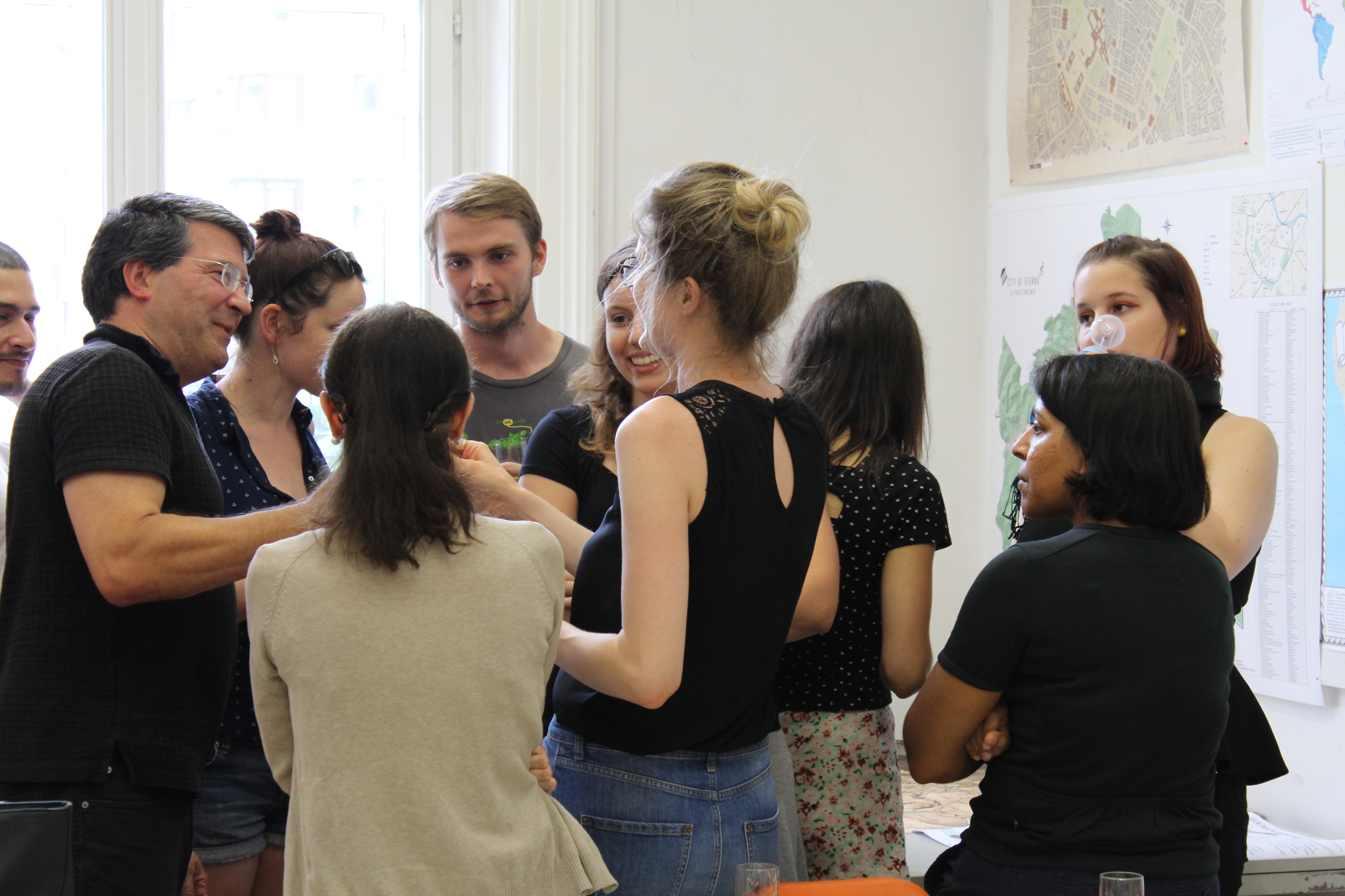
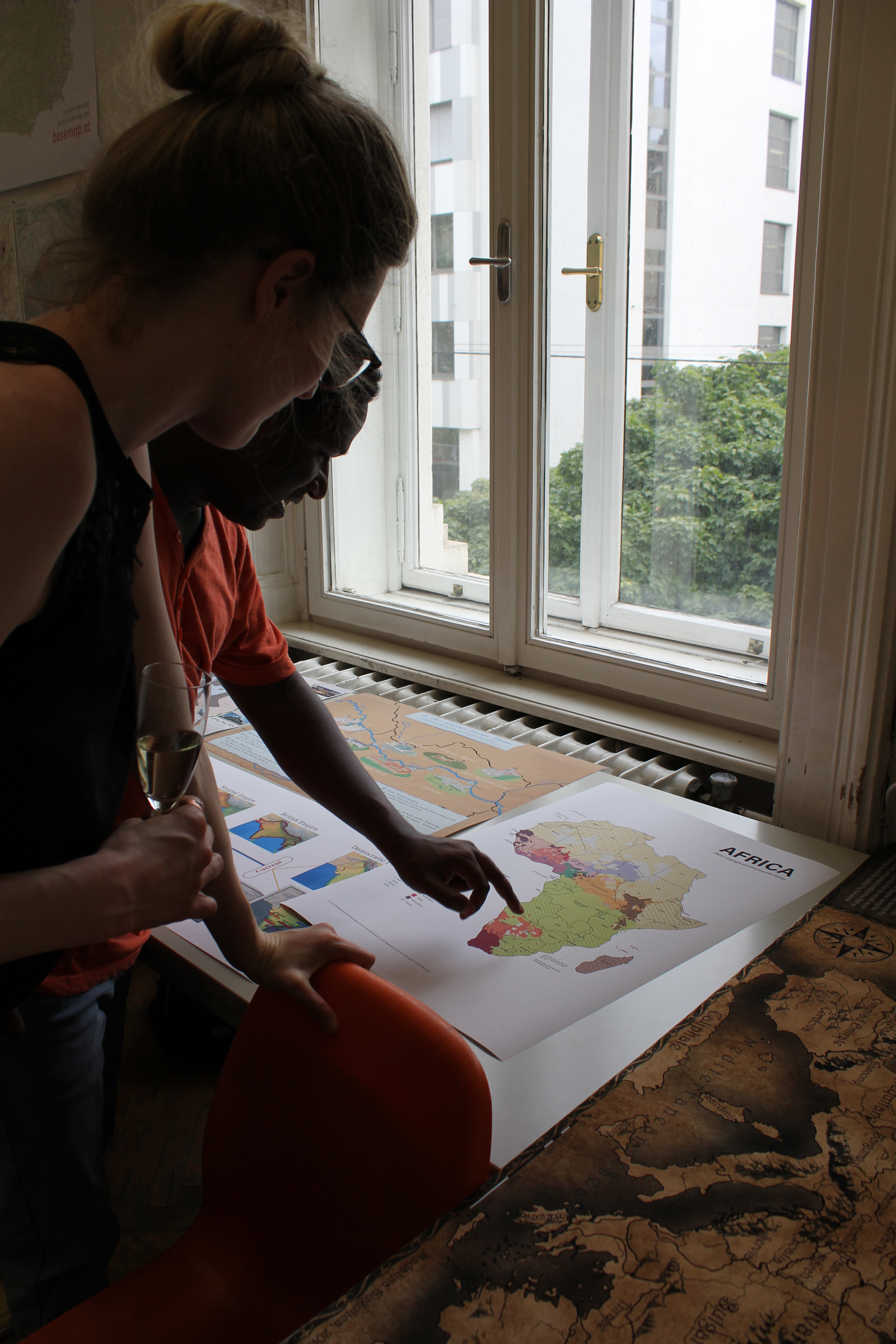
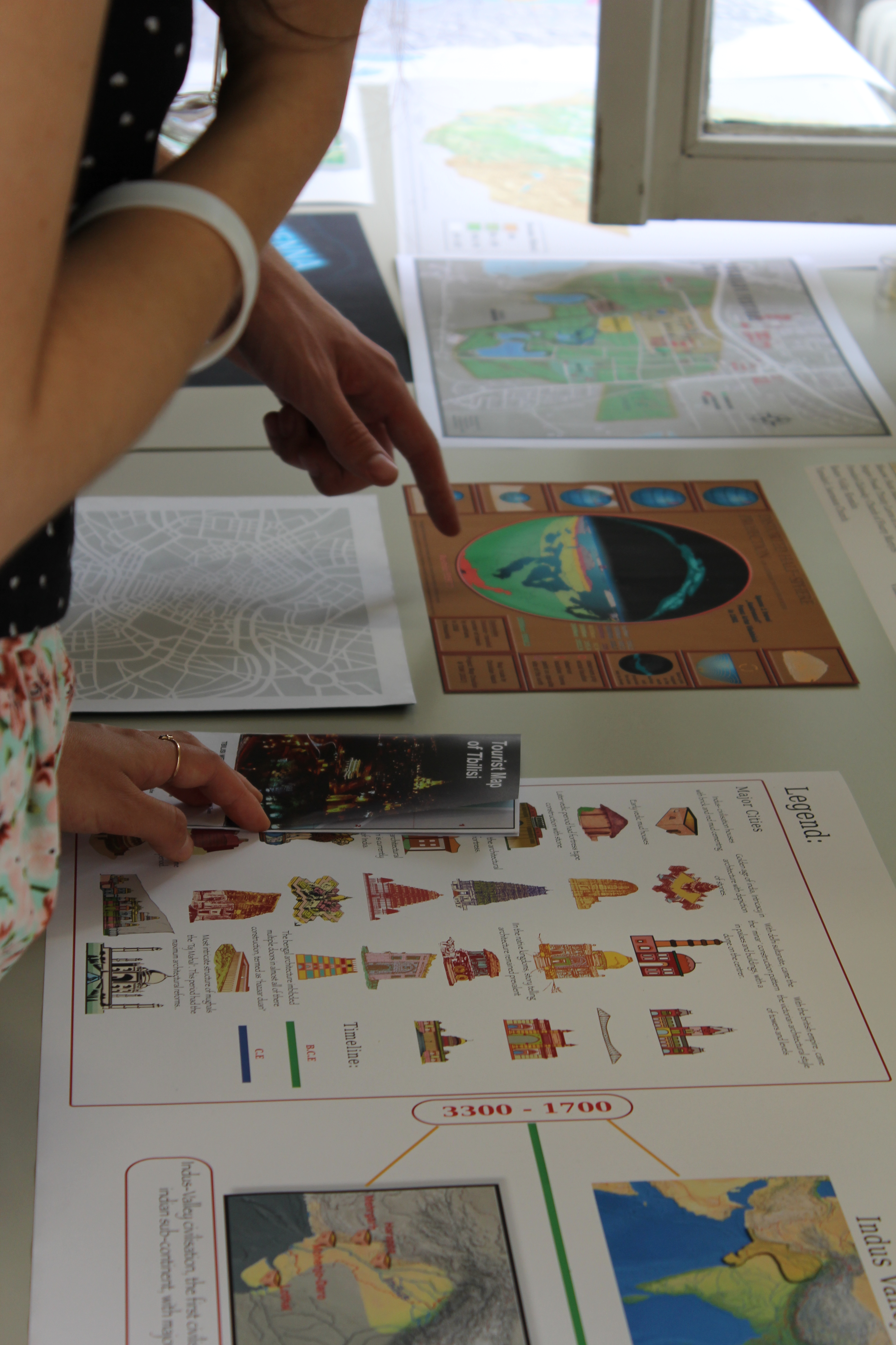

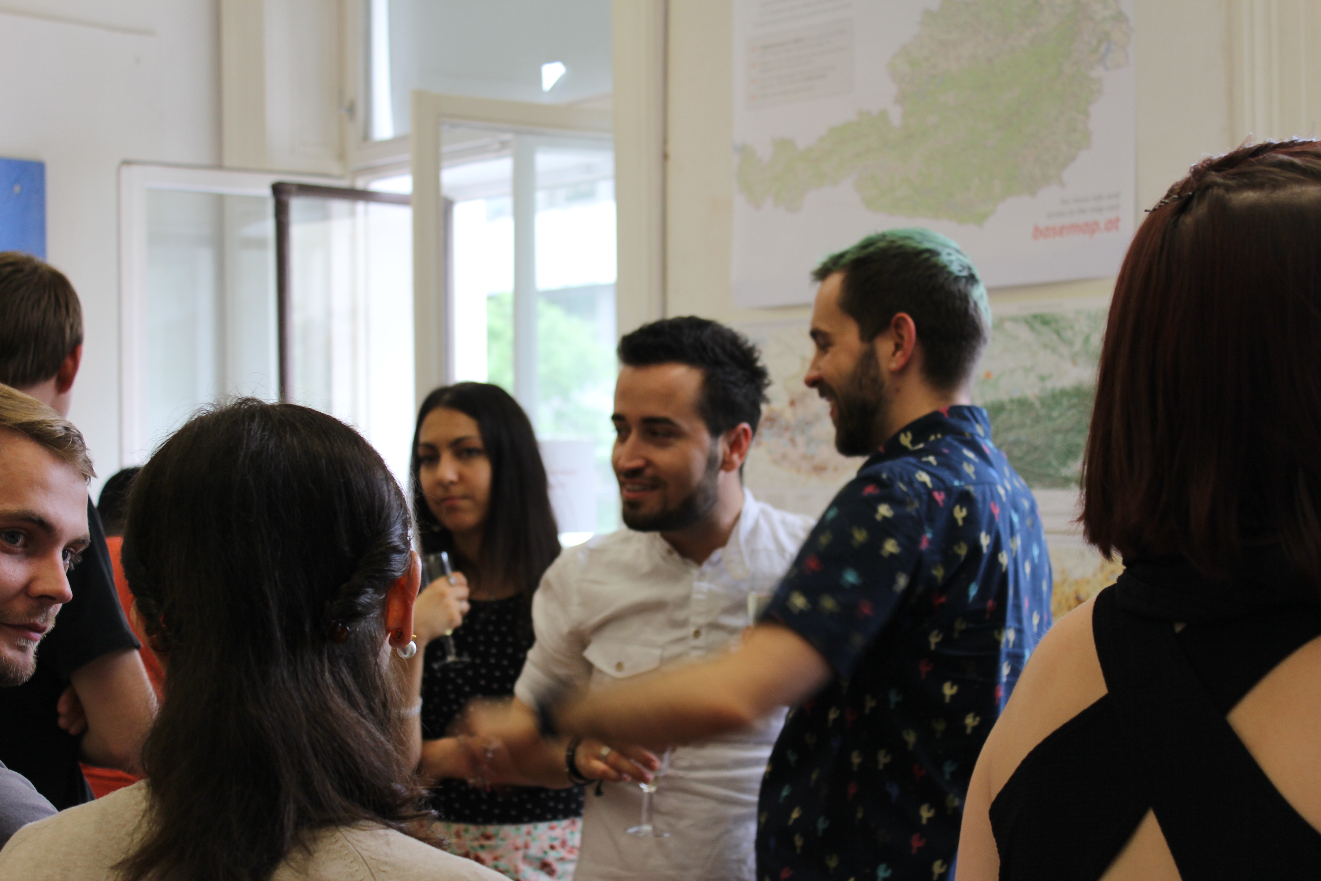
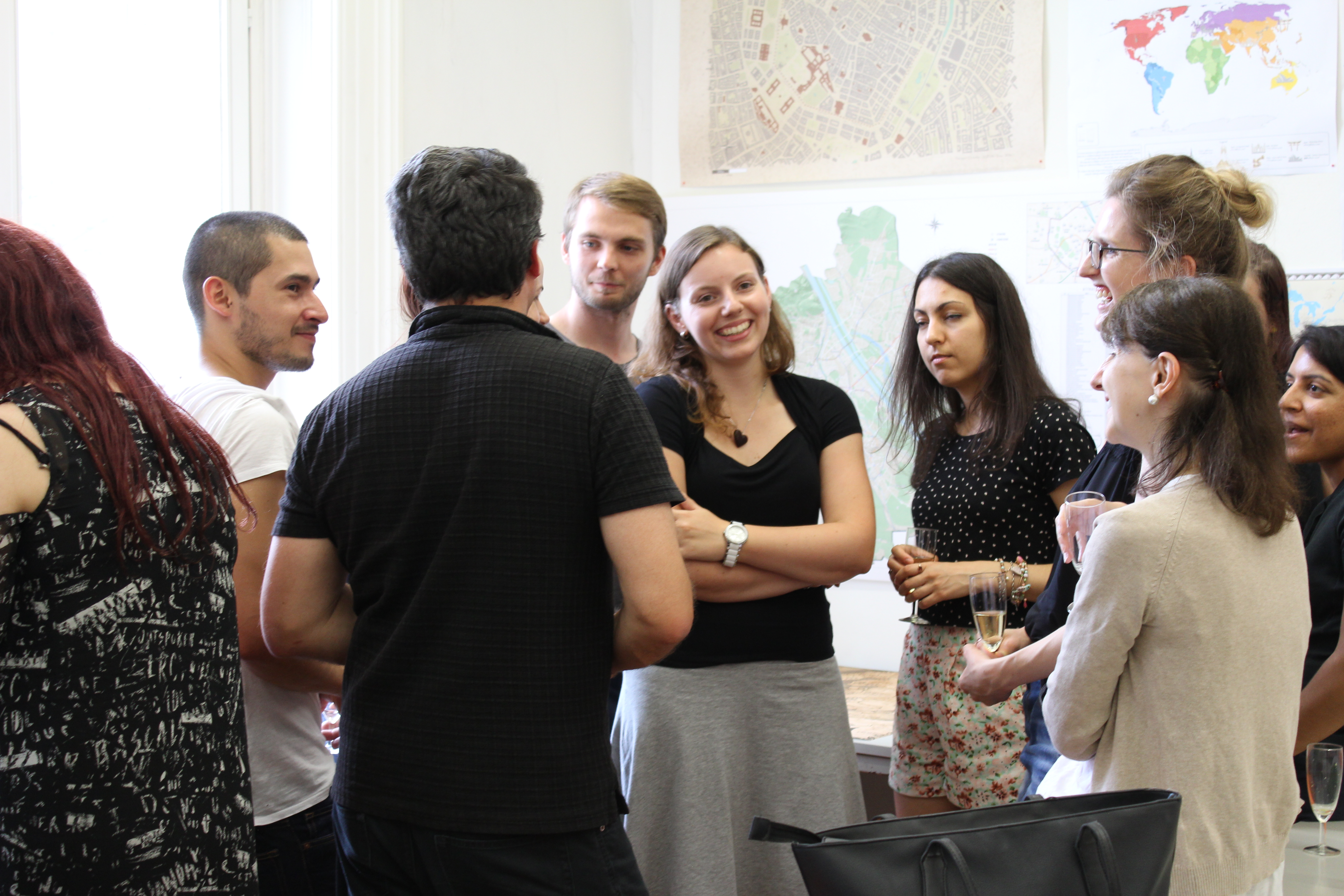
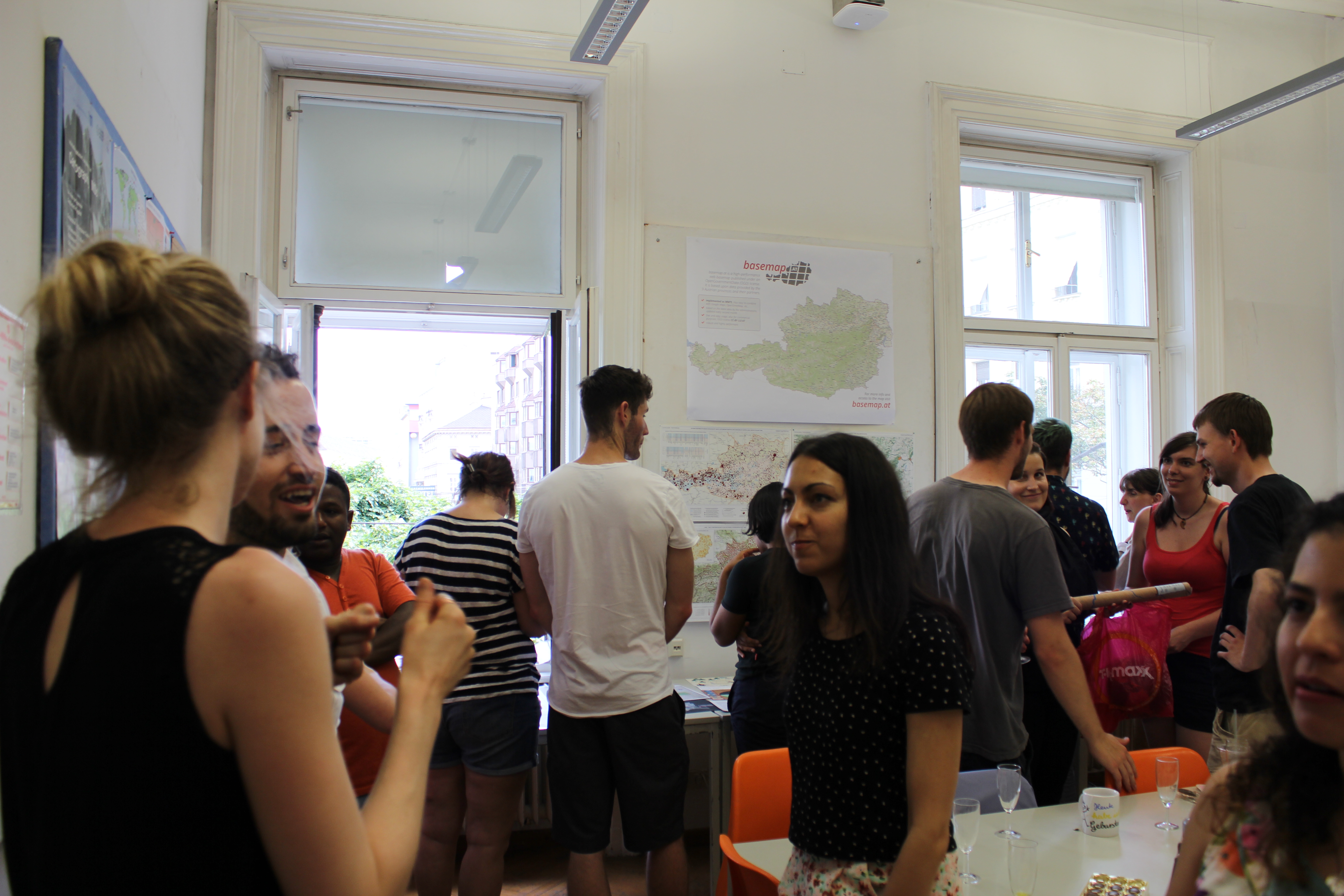
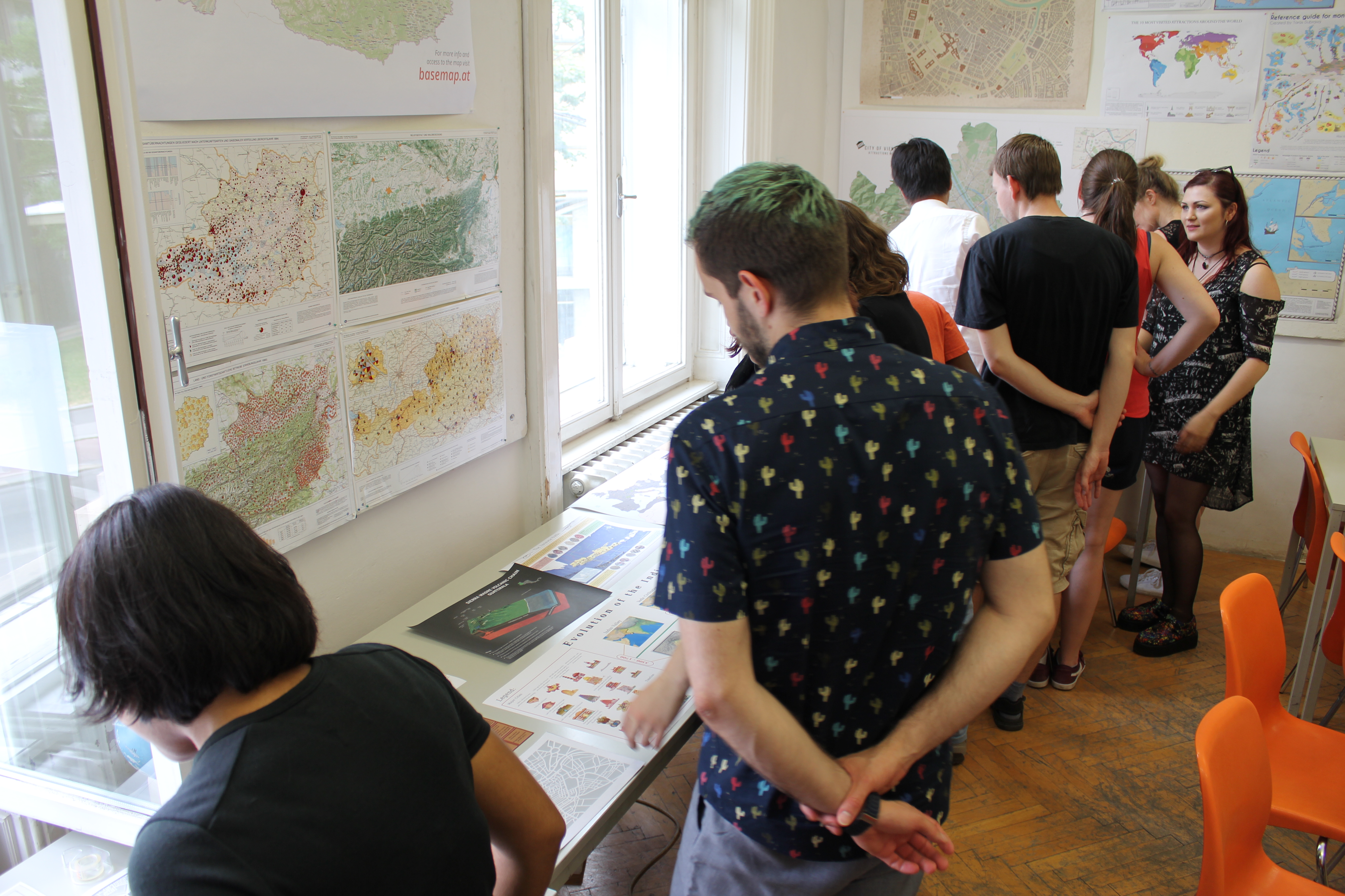

We wish them all the best!
To find out more about the International Master in Cartography, please visit cartographymaster.eu.