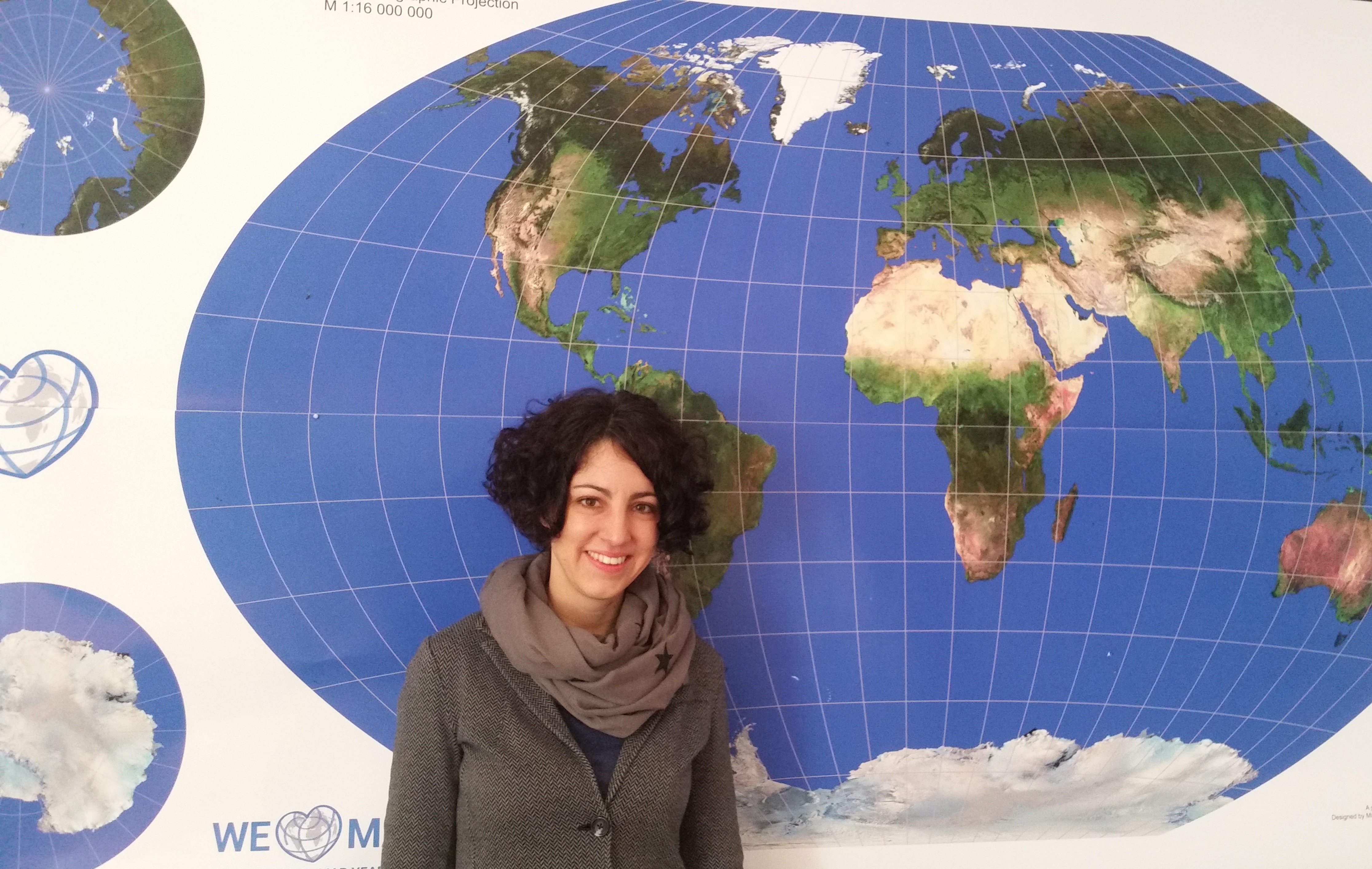
We are very happy to host a CartoTalk by Irene Fellner of the Vienna University of Economy and Business (WU) on Thursday, 17 March 2016.
Abstract: Indoor navigation systems have become a prominent area of interest in recent years. However, there are still some unresolved challenges in this context. In particular, the question in which way landmark-based indoor routing instructions can be generated automatically has not been addressed yet.
This talk introduces an Indoor Landmark Navigation Model (ILNM) which proposes an approach to generate indoor routing instructions including landmarks automatically, based on the information available in spatial indoor databases. The model consists of three phases: landmark identification, landmark selection and landmark integration.
In order to evaluate the ILNM, it was applied to the data of the Campus GIS of the Vienna University of Economics and Business. The application demonstrates that the ILNM basically produces correct route instructions including landmarks. A comparison to solely metric-based instructions shows that landmarks are important to increase the quality of indoor route instructions. However, the generated route instructions also disclose some gaps in the model and unresolved challenges of automatic indoor routing generation.
Irene Fellner is employed as a project manager at IT-Services of Vienna University of Economy and Business (WU) and was responsible for the development of an indoor navigation system („Campus GIS“) for the new campus of WU. She studied Commerce majoring in Computer Science at WU and completed the postgraduate UNIGIS MSc studies.
Thursday, 17 March 2016, 10:00
Forschungsgruppe Kartographie
Seminarraum 126


