We are happy to announce a CartoTalk by Lynn Usery, U.S. Geological Survey, on Wednesday, 9 May 2018.
Abstract: The discipline of cartography has traditionally advanced with technological innovation. Hand-drawn maps, copper plate engraving, pen and ink developments, photographic film, scribecoat, and computer-assisted mapping represent innovations that changed cartographic theory and practice. The development and evolution of the World-Wide Web and the Semantic Web are changing cartography to be more interactive, inclusive, ubiquitous, and provide for mapping concepts, ideas, emotions, and other human phenomena not previously mapped. These advances also provide for machine interpretation of maps as knowledgebases representing a new stage in the evolution of cartography in which maps become the basis of artificial intelligence applications, such as self-driving cars and new business models based on map availability to machines and humans using those machines. The U.S. Geological Survey (USGS) is creating semantic representations of topographic maps to support human and machine interpretation and applications of geospatial data. This presentation documents the basis of this representation and production using Semantic Web technologies. The USGS has developed a geospatial ontology for topographic map data and converted specific datasets from The National Map to the Resource Description Framework (RDF) triple model of subject, predicate, and object on the Semantic Web. The process involves representing the ontology and the instance data, i.e., feature identifiers, coordinates, attributes, and relationships of the geospatial entities, in RDF as a triplestore and knowledgebase. The guiding concept to this work is the map as a knowledge base. The map itself becomes an interactive window to access the knowledgebase (triplestore) through direct query with the SPARQL Protocol and RDF Query Language and/or through a point and click interface in which clicking any geographic feature on the interactive graphic spawns a browseable graph approach providing the characteristics of that feature and connecting to associated features in the Linked Open Data cloud.
E. Lynn Usery is a Senior Scientist of the U.S. Geological Survey (USGS) and Director of the Center of Excellence for Geospatial Information Science (CEGIS). He worked as a cartographer and geographer for the USGS for more than 28 years and a professor of geography for 17 years with the University of Wisconsin-Madison and the University of Georgia. He served as President of the University Consortium for Geographic Information Science (UCGIS), the Cartography and Geographic Information Society (CaGIS), and the American Society for Photogrammetry and Remote Sensing (ASPRS). He is a Fellow of CaGIS and UCGIS, and received the CaGIS Distinguished Career Award in 2012. Dr. Usery is currently Vice-President of the International Cartographic Association. His primary research areas are in theoretical cartography and geographic information science, geospatial semantics and ontology, high-performance computing and CyberGIS, map projections, spatial data models, and data integration.
Wednesday, 9 May 2018, 11:00
EI 1 (Petritsch Hörsaal)
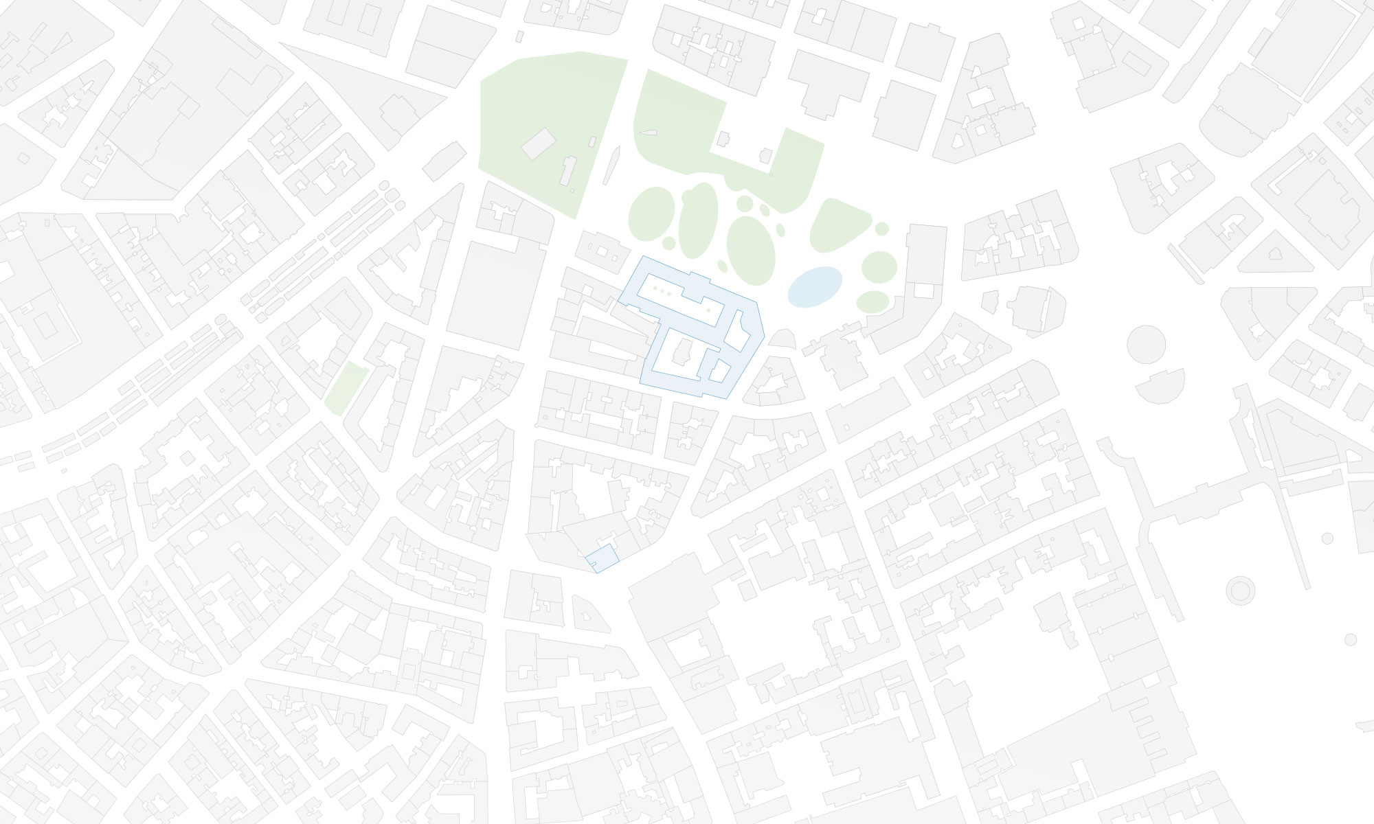
Gußhausstraße 25, Stiege VIII, 2nd floor
