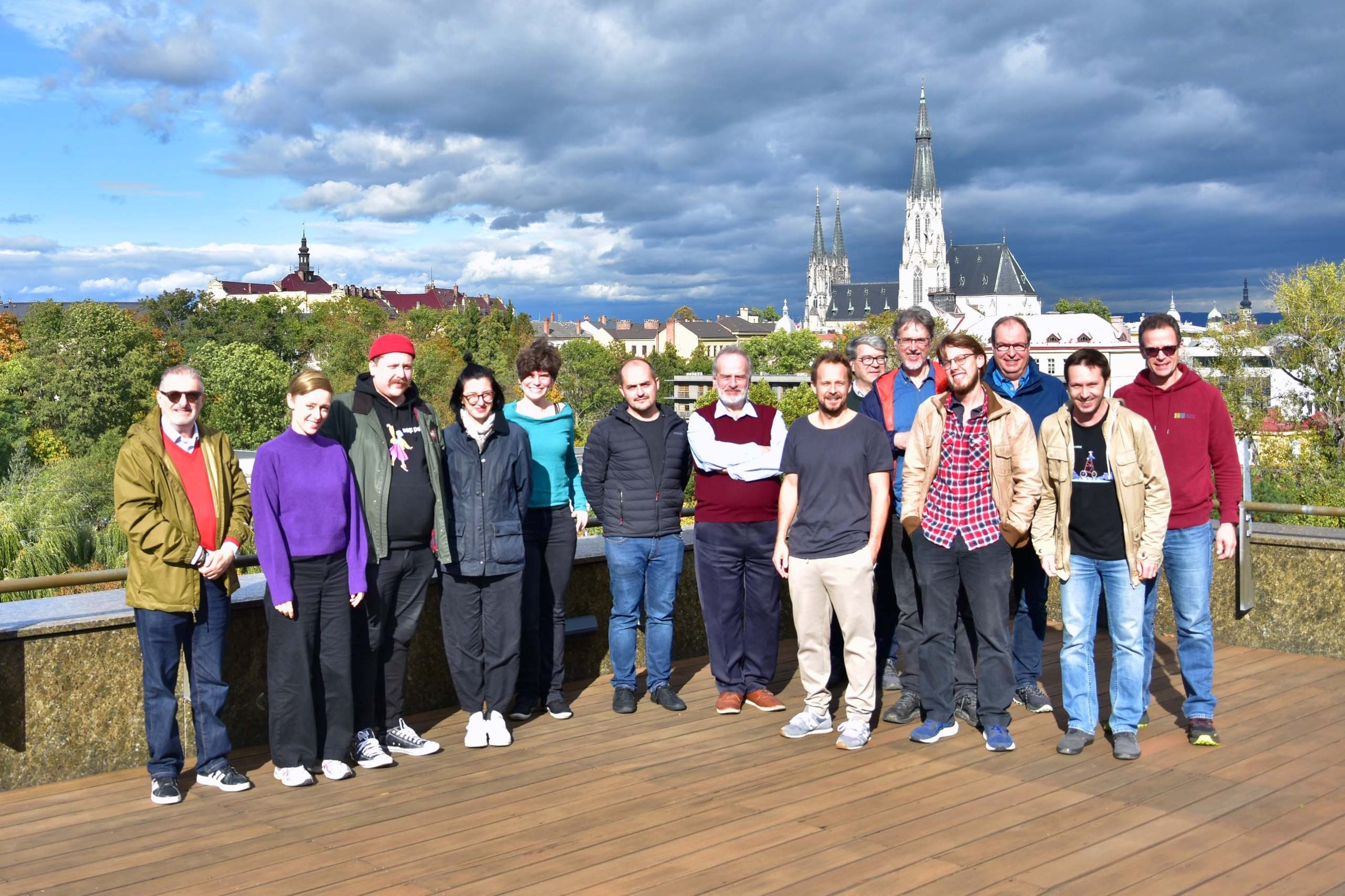
After three years of collaboration, the Erasmus+ project Shape2Gether is coming to an end. Together with six European universities and the industry partner Seppo, the Research Unit Cartography explored new approaches to teaching and learning, focusing on Education for Sustainable Development (ESD) and climate change in Europe. Shape2gether brought together expertise in sustainability and climate education, innovative technologies, game-based learning, and geosciences, with a strong emphasis on interdisciplinary collaboration. A key aspect of the project was the active involvement of students, who were not only participants but co-creators throughout the process.
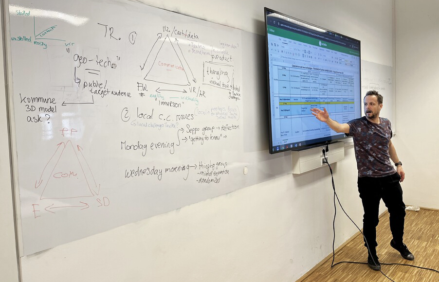
Students took part in three international summer schools in Trondheim/Tautra (Norway), Malta, and Bochum (Germany). Each summer school addressed different aspects of the project: in Norway, the focus was on immersive technologies such as VR/AR and on-site exploration to better understand climate processes; in Malta, students engaged with local sustainability challenges and Education for Sustainable Development in a regional context; and in Bochum, the emphasis was on developing serious games and interactive formats related to structural change and sustainability.
Based on these co-creative experiences and the continued collaboration of the project team, Shape2gether evaluated innovative teaching approaches and is developing learning materials aimed at empowering students as “Agents of Change” in the context of climate change and sustainable development.
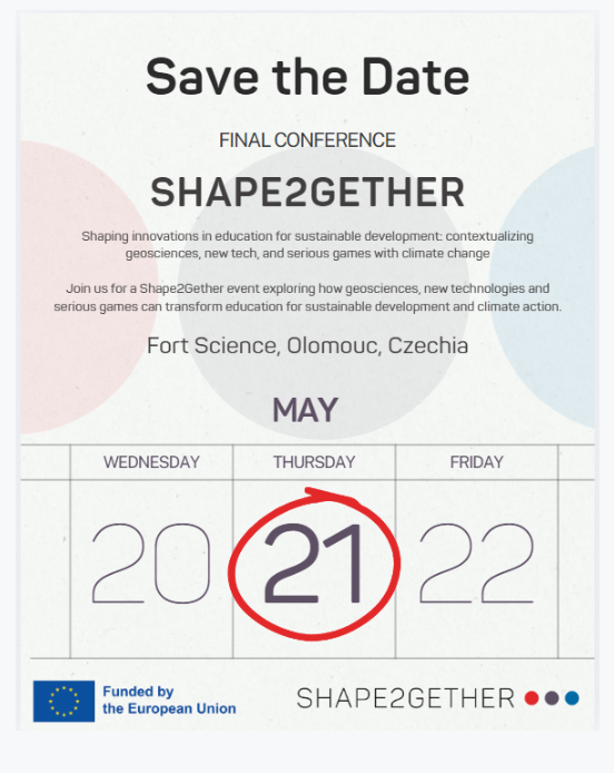
All project results, including developed learning formats, digital applications, and game-based approaches, will be presented at the Shape2gether Final Conference, taking place on May 21, 2026, in Olomouc. The event is free of charge. For further information and registration, please visit our project site.