We are happy to announce our next CartoTalk by Alisa Pettitt, a PhD student in the Department of Geography and Geoinformation Science at George Mason University and an SOI qualified archaeologist with the Fairfax County Park Authority. Her current research focuses on the use of XR technologies for the interpretation, preservation, and analysis of heritage sites.
Friday, 16 Nov 2018, 11:00
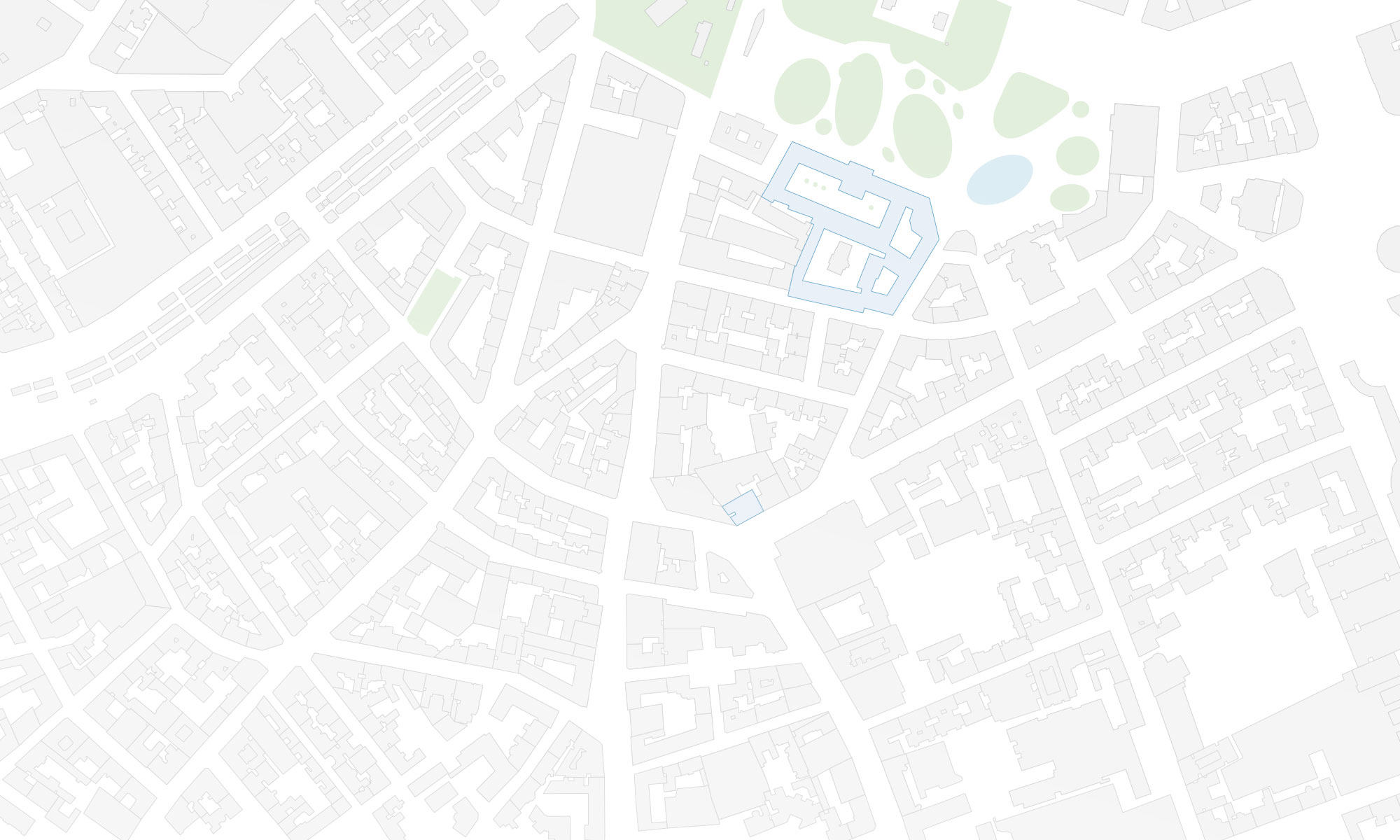
Seminar room 126
Gußhausstraße 30, 1st floor
Abstract: Narrating and visualizing complex and multi-faceted histories tied to archaeological sites can be challenging; especially at sites where tangible histories have vanished from the landscape. Interpreting and narrating on the varied cultural layers bound to these sites when physical remnants are gone require supplemental information and sometimes advanced visualization techniques. Local museums and/or archaeological site centres often have supplemental information and data available but interpreting and building new narratives for these sites is resource intensive. For many lesser known historical sites a resource intensive interpretation and documentation is not feasible.
Augmented Reality (AR), Virtual Reality (VR), and Mixed Reality (MR) have become buzzwords in archaeology over the past several years, often collectively referred to as XR Technologies. The reason behind this excitement is that XR technology platforms are now accessible to archaeologists for developing innovative visualizations that convey new, multidimensional histories to domain experts and visitors alike. Thus, XR technologies provide enormous potential in archaeological site evaluation, analysis and interpretation efforts, plus are critical for public education.
Over the past five years, access to XR hard and software has become increasingly obtainable and lower prices for XR technology have reached the consumer market. Archaeologists, even at lesser known and funded historic sites, have begun to collect three-dimensional data of archaeological materials that can be readily used for developing more complex XR applications.
This presentation highlights existing cross-disciplinary research in archaeology and geovisualization with the goal to create XR applications that visualize cultural narratives of significant archaeological sites in Virginia, United States including: Riverbend Park (Fairfax County), Manassas National Battle Field Park (National Park Service), and Historic Centreville (Fairfax County). Several examples from these historic sites will highlight the potentials and benefits of XR technologies across different time periods and cultural narratives.


It is such a pity that I can not attend, because I have to work …
That sounds so exciting. I would like to have a virtual tour through history.
cheers Michael
Unfortunately I could not attend the talk. Is the paper or the presentation somewhere publicly accessible or may you send it to me via mail? Thanks.