Call for Maps: Einladung zur Einreichung von Beiträgen zur International Cartographic Exhibition

call-for-maps2017

Vom 2.–7. Juli 2017 findet in Washington, D.C., die 28. International Cartographic Conference (ICC) statt. In diesem Rahmen wird auch wieder die International Cartographic Exhibition organisiert – eine Ausstellung für digitale und analoge Karten aus aller Welt. Bis 19. Februar haben Sie die Möglichkeit, österreichische Beiträge für die Ausstellung zu nominieren!

Warum teilnehmen?

  • Sichtbarkeit Ihres Produkts bei über 1.500 Kartographie- und GIS-ExpertInnen aus aller Welt bei der International Cartographic Conference (ICC 2017)
  • Listung im online verfügbaren Ausstellungskatalog
  • Chance, einen ICA Map Award zu gewinnen. ICA Map Awards eignen sich hervorragend als Marketinginstrument. Die ausgezeichneten Beiträge werden im Anschluss außerdem als Map of the Month auf der ICA-Website gefeatured und erreichen auf diese Weise eine hohe Sichtbarkeit.

Alle Infos zur Nominierung finden Sie unter sites.google.com/view/callformaps-2017.

Ansprechpartnerin für die österreichischen Beiträge bei der ICC-Kartenausstellung ist dieses Jahr Manuela Schmidt.

CartoTalk Trias Aditya: Geocrowd and geogaming apps for fighting fire and trans-boundary haze problems towards sustainable peatland management

We are happy to announce a CartoTalk by Trias Aditya, from the Department of Geodetic Engineering at UGM, Indonesia.

Abstract: Haze problems over Sumatera and Kalimantan have been a prolonged issue to mainly firing of drained peatland. In addition to accelerating greenhouse emission threats, the peatfire has caused health problems and major economic losses. Peat forest conversion to agriculture land by utilizing drainage canals is one of main drivers to be restored.  Water and peatland management are among the key targets for eliminating the trans-boundary haze problems. Surveying and mapping technologies such as Aerial Photos and LiDAR are required to support hydrological restoration plans in order to keep peatland in Sumatera and Kalimantan are still wet even in dry periods. Surveying and mapping activities are also required to support environmental monitoring to fight fires and canals’ development. Satellites and aerial imageries, such as satellite data and UAV, equipped with multi sensors suited to monitor haze problems, could be deployed to support haze monitoring. In addition to that, human sensors need to be activated to enable participatory monitoring. This apps will be offered to help community and decision makers fight peatfires while at the same time to support sustainable peatland management at community level.  The research study presented in this talk combines LiDAR, satellite, field and crowd data to support community-based haze mitigation. Yet, in order to raise community awareness on haze issues from fires from the peatland, geospatial-based game application was initiated through gamification and design workshop. Data from two apps, geo-crowd and geo-game are gathered and analyzed into a decision-support dashboard.

Trias Aditya completed his Bachelor of Engineering in Geodetic Engineering from UGM (1998). He received his MSc in Geoinformatics from ITC (2003) and PhD in Geoinformatics from ITC/Utrecht University (2007). His research interests include Cartography, Geospatial Data Infrastructure, Interoperable Geospatial Information System for Land Administration, Disaster Management, and Peatland Management.

Monday, 23 January 2017, 11:00
Research Group Cartography
Seminar room 126
 

13th International Conference on Location-Based Services

Thank you for participating in LBS 2016, the 13th Conference on Location-Based Services!

lbs_logo

From 14 to 16 November 2016, the conference was once again organized by the ICA Commission on Location-Based Services and the Research Group Cartography, taking place at TU Vienna. After its initiation at TU Vienna in 2002, the conference travelled around the world – with venues in Austria, China, Germany, and United Kingdom.

This year we were again priviledged to host more than 120 participants from 23 countries, contributing to the conference with high quality presentations and inspiring discussions. Thank you for making the conference such a memorable event again!

Photos of the event can be found at Google Photos.

A review of the event by the Viennese company indoo.rs can be found here: slaminfo.indoo.rs/lbs-vienna-2016-review

lbs_screenshot2

Bachelor thesis presentations on Open Government Data and OpenStreetMap styling

On November 11, two students presented their bachelor theses: Mariela Nazlamova presented her work “Open Government Data in Austria. Analyzing the Potential of Cartographic Visualization of Spatial Administration Data” (supervised by Gartner and Ledermann), and Christopher Kmen presented his work on replicating the basemap.at map style for OSM data.

For Mariela, this was the last step in completing her studies at TU Wien – congratulations and best wishes for your future career!

img_4093

Danke, Mika!

Mirjanka LechthalerMit großer Bestürzung haben wir vom Ableben unser langjährigen Kollegin Ass.-Prof. Dipl. Ing. Dr. Mirjanka Lechthaler erfahren. Mika, wie sie von uns allen genannt wurde, war mit Herz und Seele Kartographin. Sie hat sich mit großer Hingabe den Aufgaben der wissenschaftlichen Kartographie gewidmet.

Unvergesslich ist ihr Engagement in der Lehre, mit der sie eine Vielzahl von Studierenden mit ihrer Begeisterung und ihrem Enthusiasmus anstecken konnte. Sie war in einer Vielzahl von Gremien an der TU Wien, auf Fakultäts- und auf Institutsebene tätig, immer mit ihrer positiven und gewinnenden Art für eine konstruktive Athmosphäre sorgend. In Zeiten großer Herausforderungen und Veränderungen der modernen Kartographie war sie immer eine felsenfeste Stütze.

Mika war eine besondere Kollegin. Aber viel mehr als das war Mika ein besonderer Mensch. Sie war authentisch, fröhlich, loyal, engagiert und an ihrem Umfeld, insbesondere an Menschen, interessiert.

Sie hat uns in vielerlei Hinsicht inspiriert.
Sie wird uns fehlen.

– Georg Gartner

Welcome to Silvia Klettner and Francisco Porras Bernárdez

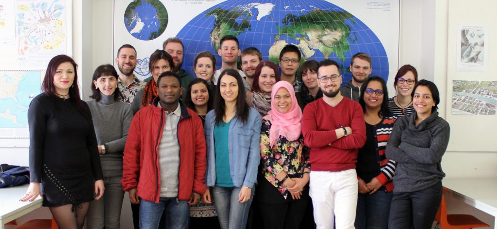
We are looking forward to a new era of the Research Group Cartography by welcoming our new colleagues Silvia Klettner and Francisco Porras Bernárdez.

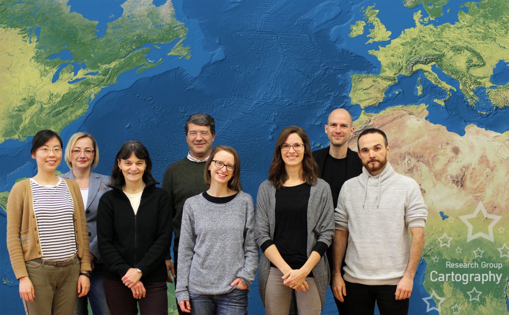
Research Group Cartography in November 2016

Silvia is a psychologist by training and has gained experiences in the context of modern cartography by working in the EmoMap project and at the Mobility Group of the Austrian Institute of Technology (AIT). Francisco is an alumni of the International Master Programme on Cartography and was one of the outstanding students in this programme.

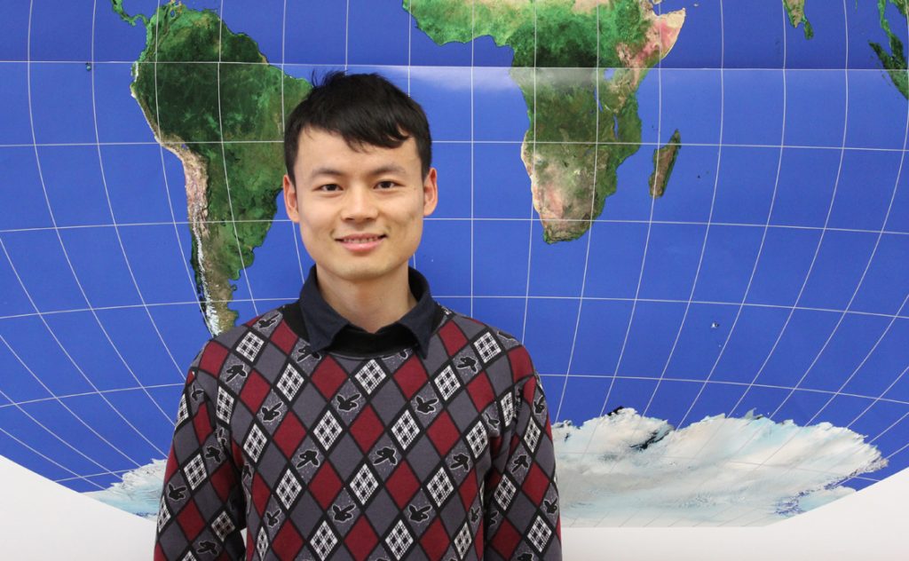
Both are enthusiastic about modern cartography and will work together with Florian Ledermann, Manuela Schmidt (who is back in the team as a Project Assistant by working part-time on a project with the Austrian Federal Railways) and the Chinese Scholarship Holder Wangshu Wang. The scientific team will be supported by Violet Derman (secretariat) and Edith Wandl (special tasks).

– Georg Gartner