
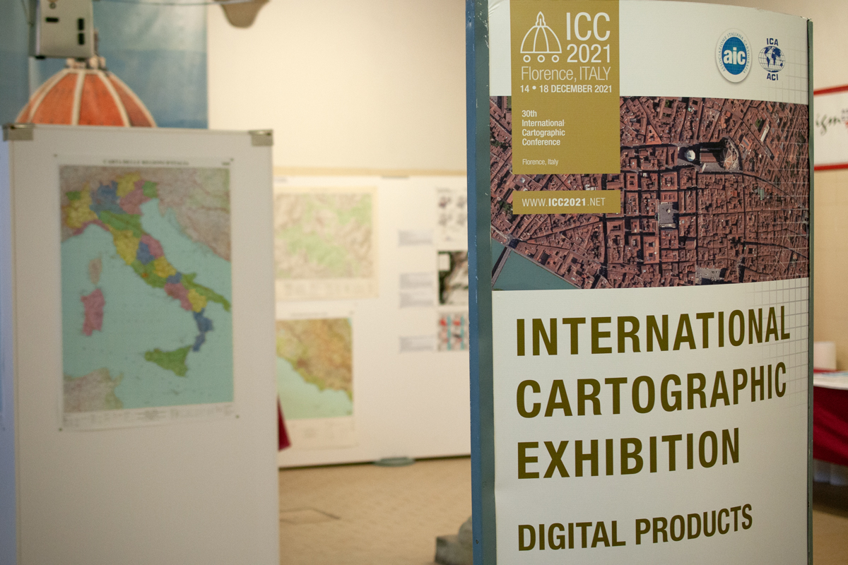
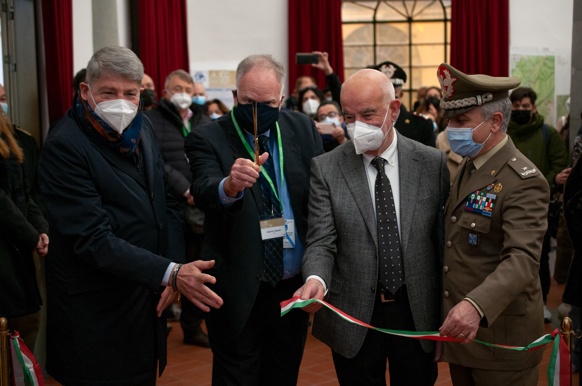
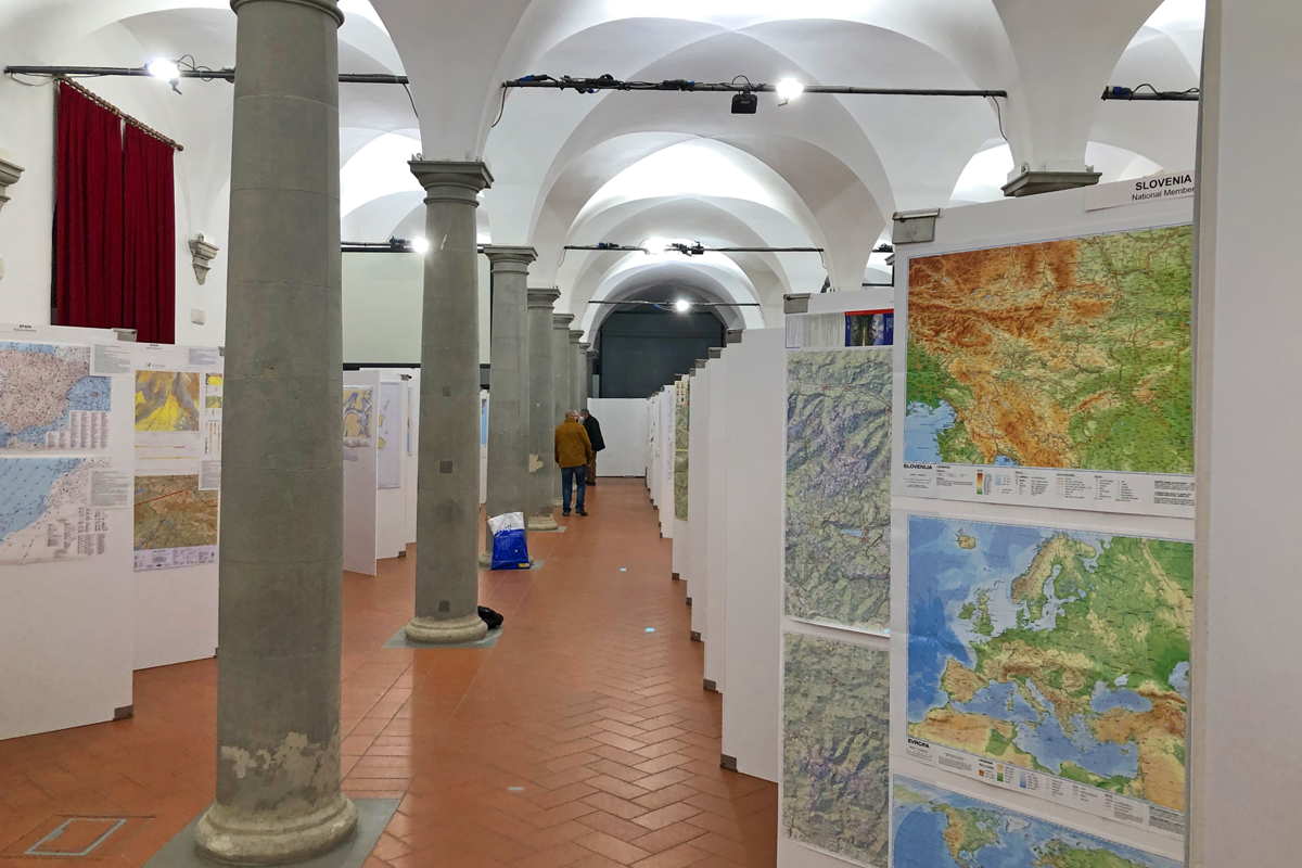
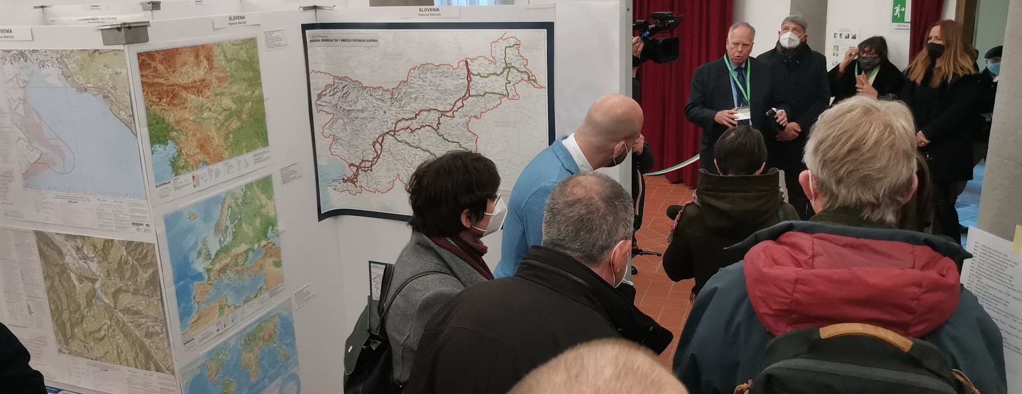
Vom 14.–18. Dezember 2021 fand in Florenz, Italien, die 30. International Cartographic Conference (ICC) statt. In diesem Rahmen wurde auch wieder die International Cartographic Exhibition organisiert – eine Ausstellung für digitale und analoge Karten aus aller Welt. Die Ausstellung fand im Italienischen Militärgeographischen Institut statt und wurde am 13. Dezember eröffnet. Von den 410 Beiträgen aus 32 Ländern war auch Österreich mit 12 Beiträgen vertreten!

Die österreichischen Beiträge in Florenz
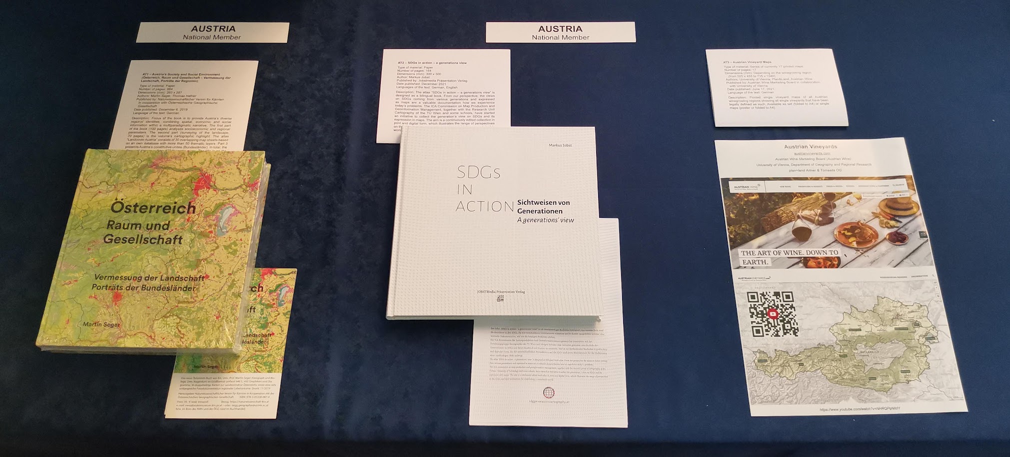
Basierend auf dem Call for Maps wurden von der ÖKK 12 Beiträge aus Österreich nominiert, darunter 7 Papierkarten, 3 Atlanten, ein digitales Kartenprodukt und ein digitaler Service.
Continue reading “Österreichische Beiträge bei der International Cartographic Exhibition in Florenz”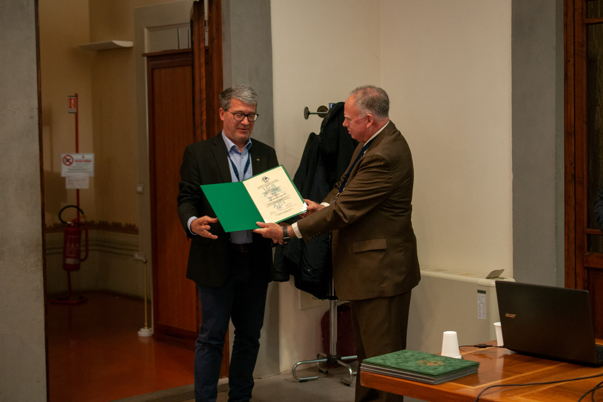


")


