We are proud to announce that Nicolás Martínez Heredia has been awarded First Prize in the 2025 PAIGH (Pan American Institute of Geography and History) competition for the best master’s thesis in Cartography, Geodesy, or Geographic Information. His thesis, Perceptual Distortions in Cartography: Maps for Trickery, supervised by Florian Ledermann, was recognized by an international jury as the most original and rigorous contribution among entries from across the Americas. The evaluation highlighted the thesis’s novel conceptual framework, methodologically sound experimental design, and exceptional clarity of writing.
Congratulations to Nicolás on this well-deserved recognition of his research excellence!
Nicolás Martínez Heredia with his supervisor, Florian Ledermann
Our student Juliette Bricker has won the Arthur Robinson Award for Best Printed Map in the 2024 Map Design Competition organized by the Cartography and Geographic Information Society (CaGIS) for her outstanding work called “Wien 360 (Vienna 360)”.
This prestigious award recognizes excellence in maps or map series created specifically for print or static media. As part of this honor, Juliette’s map will be added to the Library of Congress collection.
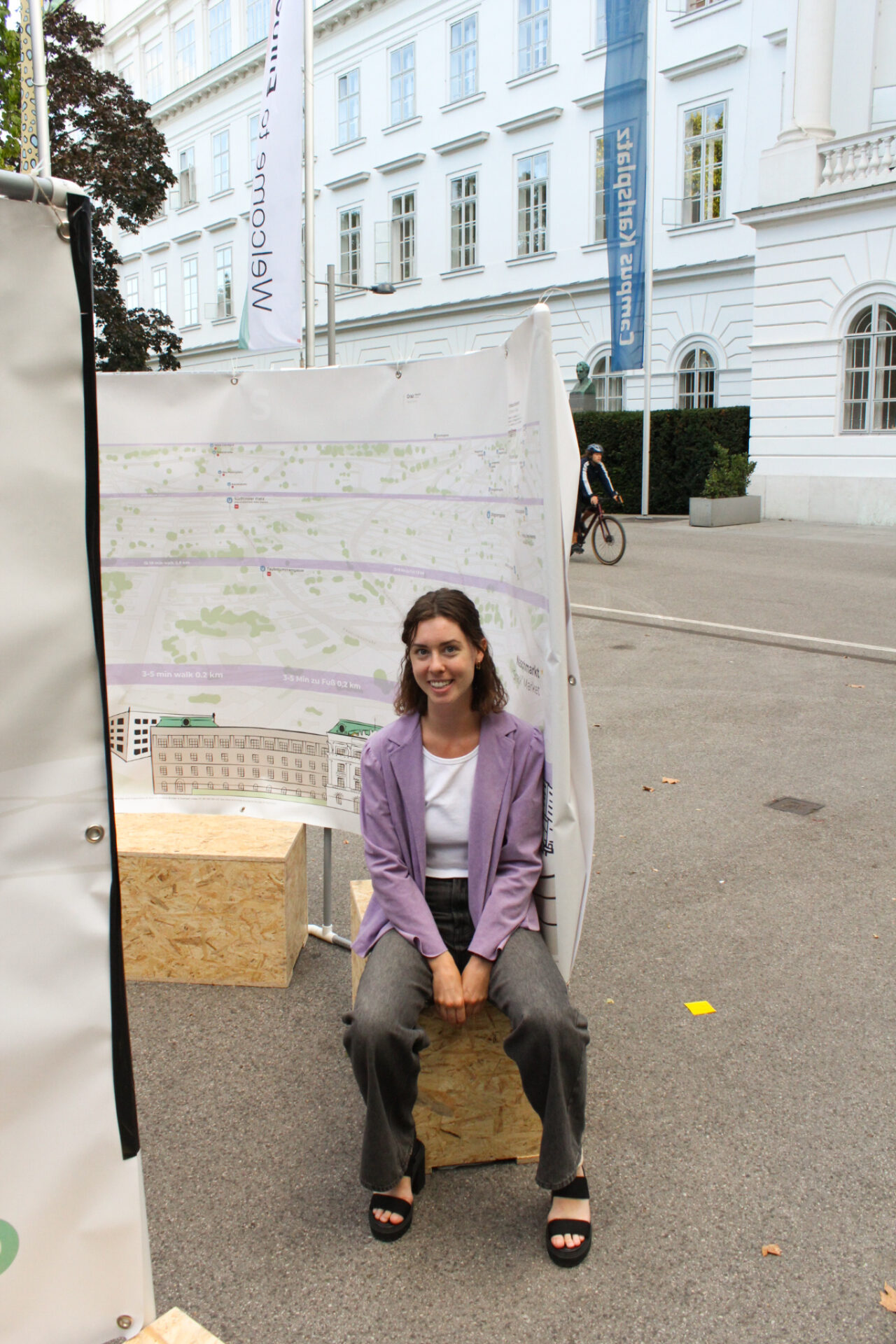
Juliette designed the “Wien 360 (Vienna 360)” map during her second semester in the MSc Cartography program at TU Wien, as part of the course “Project Map Creation”. The map was also showcased at the “EuroCarto 2024” conference.
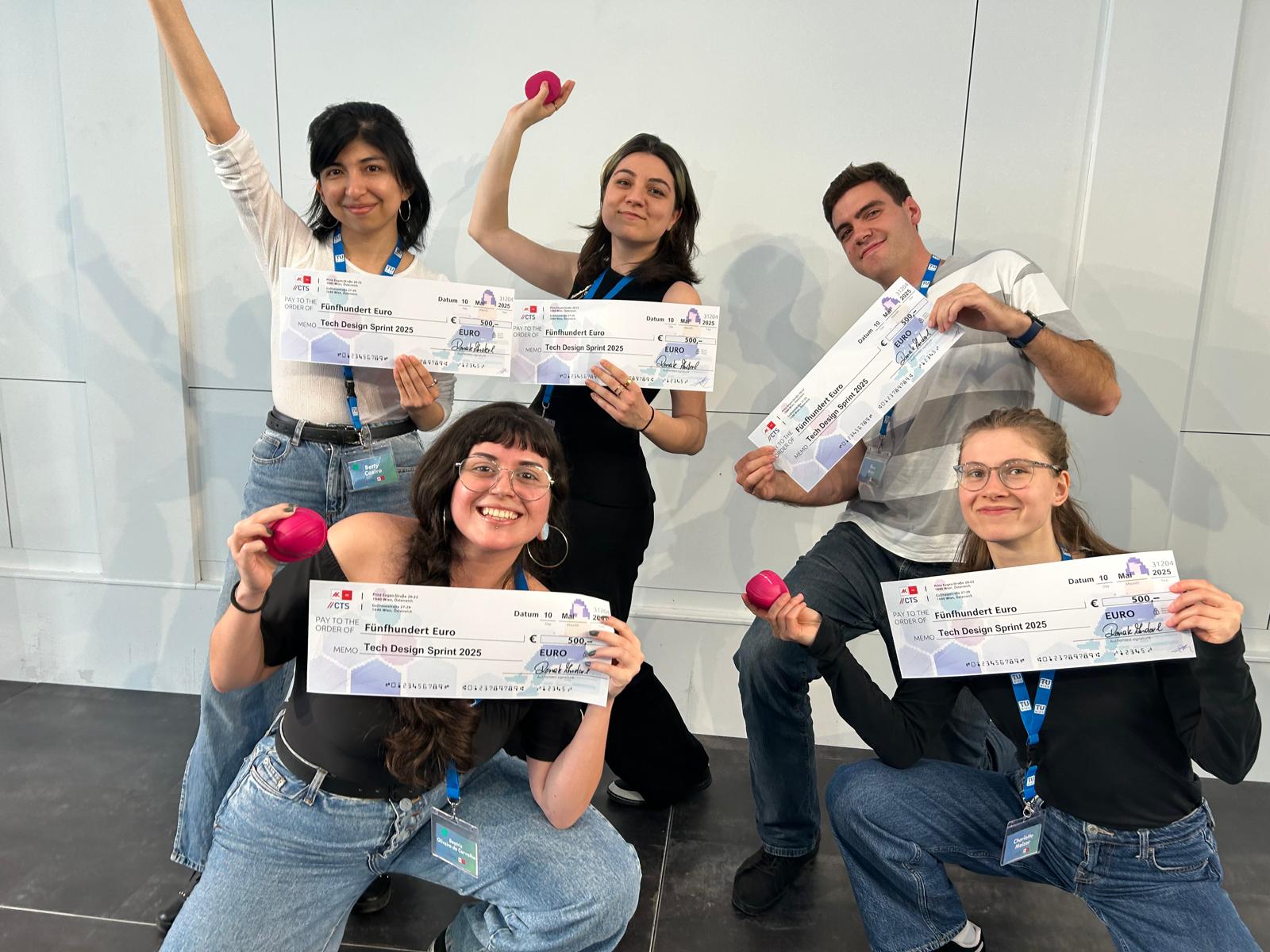
Congratulations to our students Bea and Betty (14th intake) who won – together with three other students from TU Wien – the award for Technical Excellence within the Tech Design Sprint competition. The Tech Design Sprint 2025 took place from May 8–10 at the AK Bildungszentrum in Vienna. The event was organized by the Center for Technology & Society (CTS) in collaboration with AK Wien, and brought together interdisciplinary student teams under the theme: “Exploring Deep Tech for a Fair and Sustainable World”.
The group of Bea and Betty worked on Challenge #5: Energy. They designed an educational game called “Smooth Operators” about energy distribution in Vienna that included:
a map-based interface using real city locations;
mini-games that teach players how to, for instance, balance the electricity grid and avoid both overload and underuse;
dilemma cards based on real trade-offs in sustainability, user satisfaction, and available resources;
and exploration challenges that encourage players to engage with the city and reflect on energy use.
Since this was a 3-day sprint focused on design thinking, they didn’t develop the full game, but instead created a complete concept and mockups.
The idea is for the game to be embedded in the official website of Wiener Netze, the company responsible for electricity distribution in Vienna. It would use players’ answers to the dilemmas to reflect on the real-life decision-making of the grid operator. In the future, it could also offer space for players to share and discuss these decisions, supporting public awareness and engagement around energy topics.
Team members: Beatriz Oliveira de Carvalho and Betty Selena Castro Benavides (MSc Cartography) | Charlotte Melzer, Theo März and Sofija Radojevic (other study programmes TU Wien).
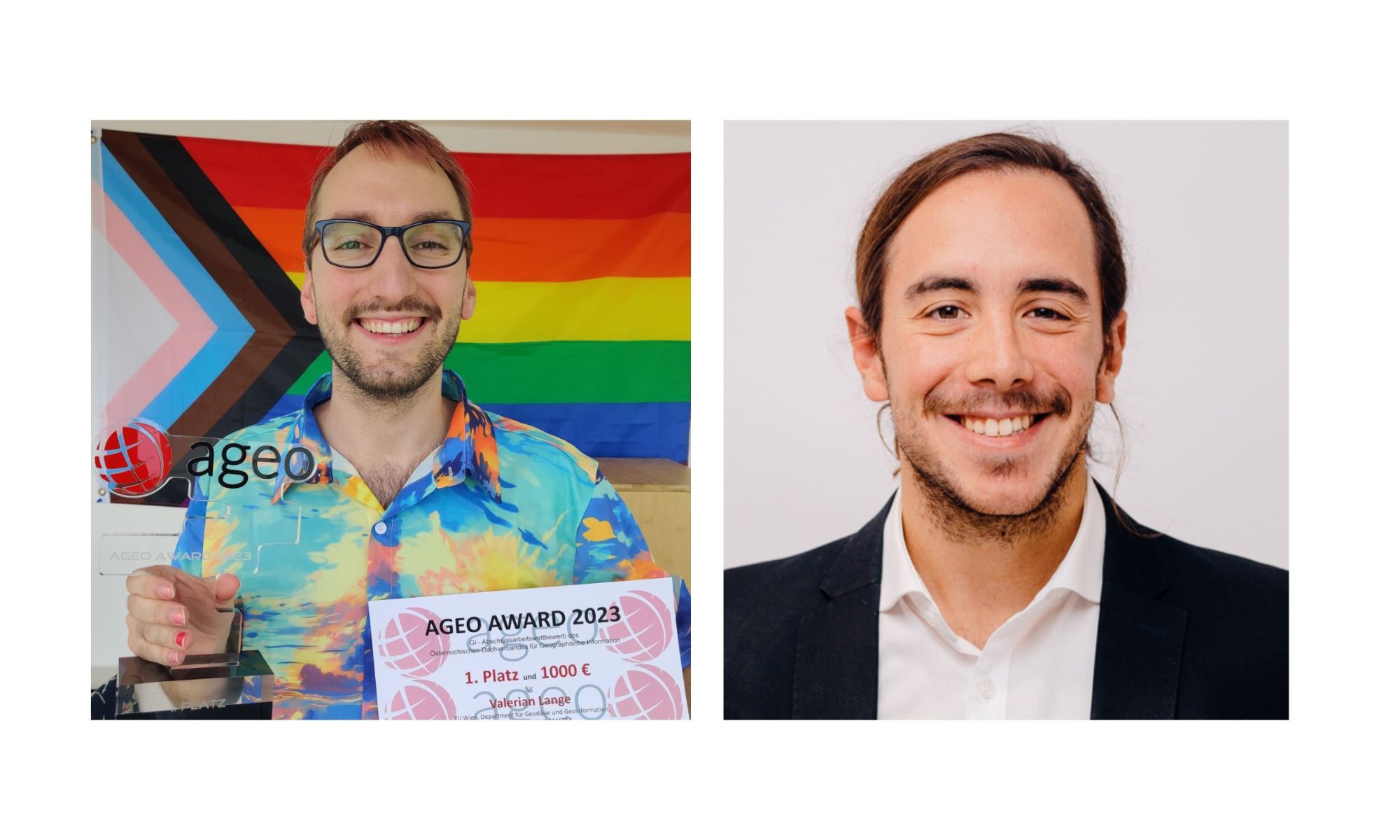
Cartography M.Sc. graduates Valerian Lange and Josè Pablo Ceballos received 1st and 2nd place in the AGEO Awards 2023 for the best master theses in the Geographic information field in Austria.
The award took place on July 4, at the GI Salzburg Conference at the University of Salzburg. This prize, awarded for the 14th time by the Austrian umbrella organization for geographical information AGEO, pursues the goal of promoting excellent graduates from Austrian universities in the field of spatial information science.
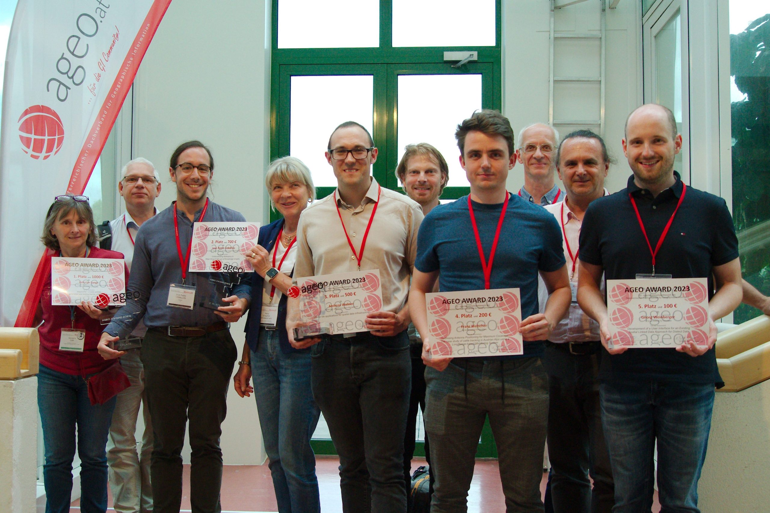
Awardees of the AGEO Awards 2023, Josè Pablo Ceballos is third from the left
“Part of my family has roots in the UK, so receiving this award from the British Cartographic Society means a lot to me, also on a personal level.” Florian will invest the prize money of 100£ to expand his personal collection of cartographic books and atlases.
We are proud to announce that Silvia Klettner’s research on cartographic semiotics received TU Wien’s Best Paper Award 2019 from the Faculty of Mathematics and Geoinformation:
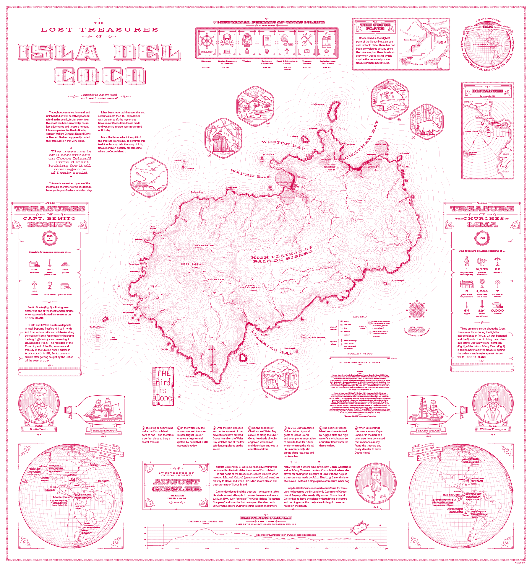
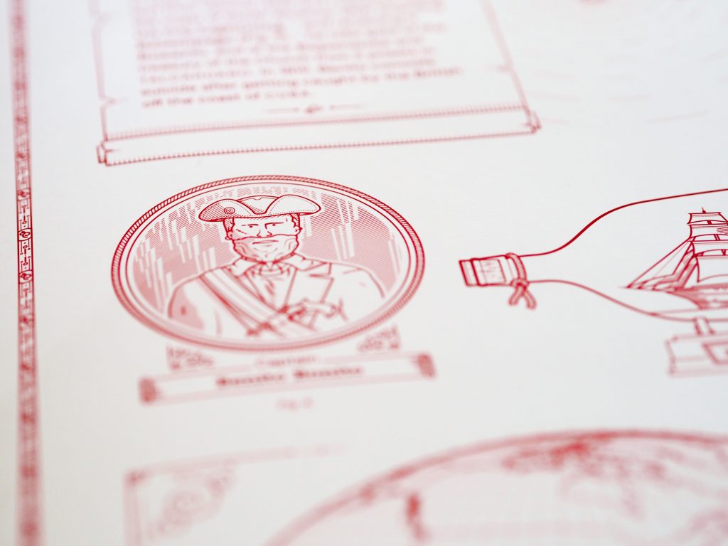
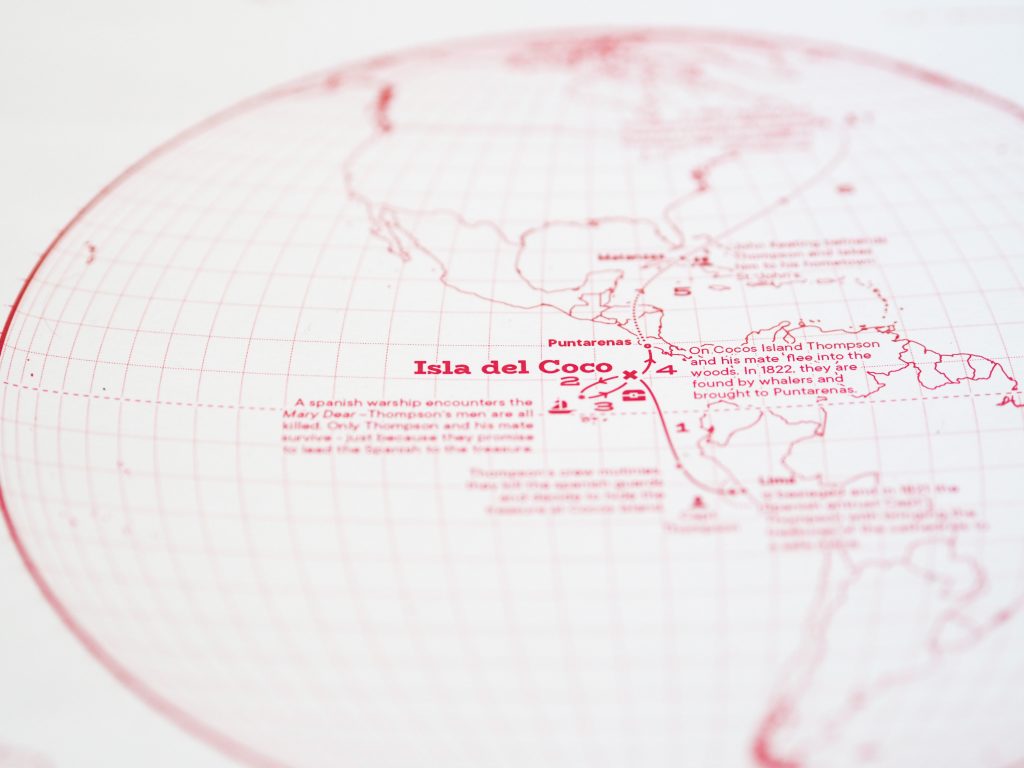
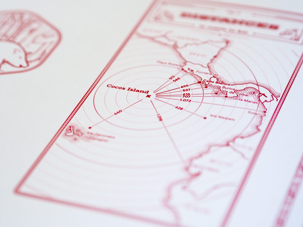
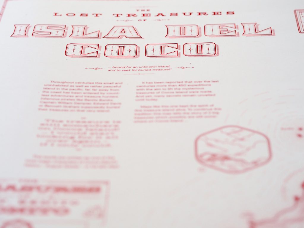
We congratulate our student Jakob Listabarth for being a winner at the Monochrome Mapping Competition 2019 with his purely magenta map “The Lost Treasures of la Isla del Coco”, which he created within the class Project Map Creation this summer semester.
When doing monochrome design, cartographers can only use one “ink” color, but most of us at least use various tints of that ink: basically, mixing it with the background color to create a continuous ramp of colors (e.g., greyscale) that we can use to distinguish rivers, contours, and other feature types from each other. Continuous monochrome is tough enough, but Jakob Listabarth takes the challenge even further and uses this map’s sole ink at 100% strength only. He is only able to distinguish feature types from each other using line weight, dot/dash patterns, and hachure shading. This he does excellently, and I continue to be impressed by how much information is shown, and how clearly each layer is distinguished from the others when they are all, after all, exactly the same version of magenta.
It’s not only an attractive aesthetic choice, but one that ties into the map’s subject. In the 19th century cartographers were usually likewise limited to representing features using ink lines, printed from engraved copper plates. Listabarth still puts a modern spin on things with the sans serif typography and charming (whimsical?) illustrations. It’s a lovely blending of old and new.
Am Department für Geodäsie und Geoinformation wird jährlich ein Preis für besondere Leistungen in der Lehre vergeben. Die Auswahl erfolgt durch die Studienkommission, die Fachschaft und den Studiendekan und berücksichtigt die Lehrveranstaltungsbewertungen durch die Studierenden an der TU Wien.
Für das Studienjahr 2012/2013 wurden am 26. November 2013 ausgezeichnet:
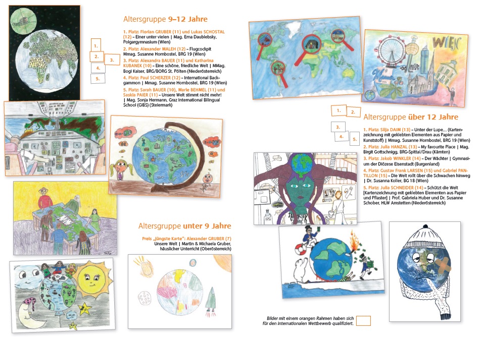
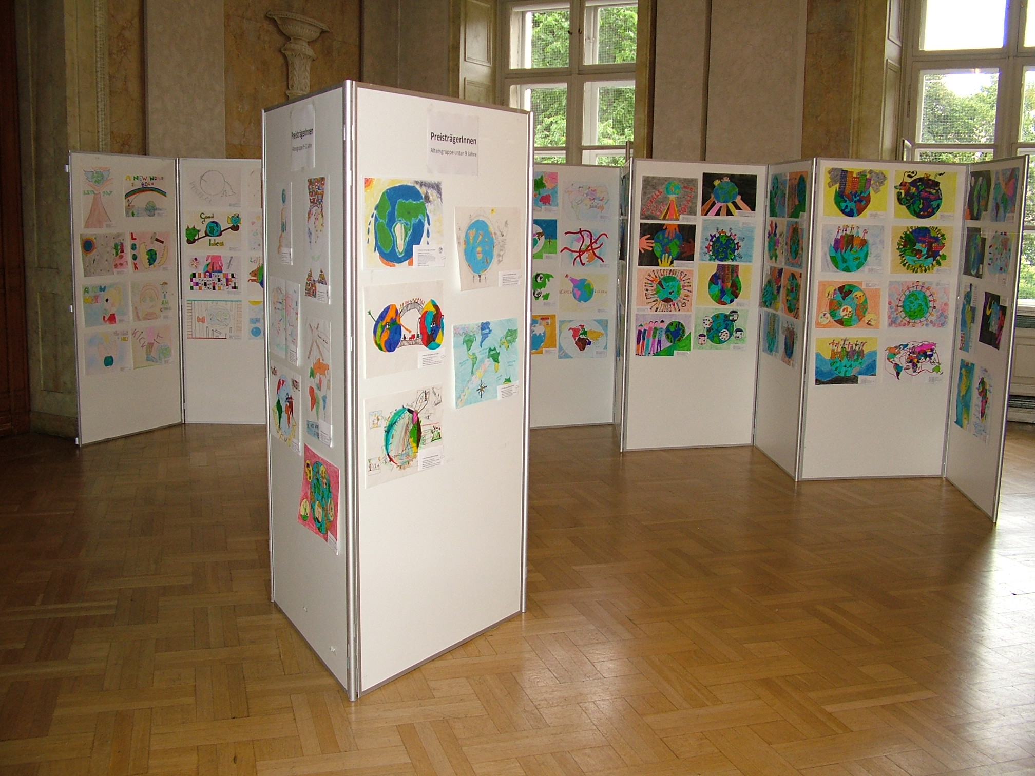
A jury selected the best entries from all the maps sent to us in the national Austrian round of the Barbara Petchenik Children’s Map Drawing Competition. Check them out here [German website]!
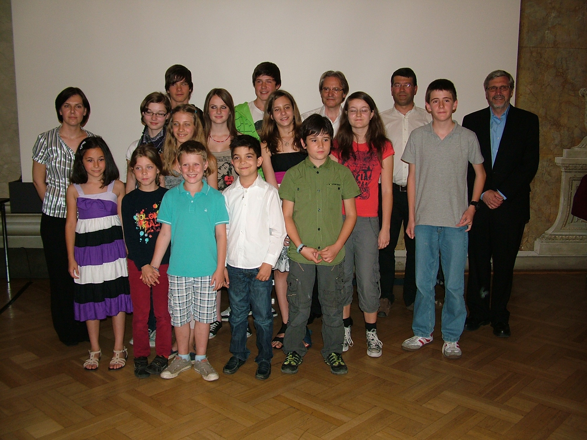
Preisverleihung des Barbara-Petchenik-Wettbewerbs in Österreich 2011 fand am,18. Juni 2011 statt – finden Sie alle Details und Fotos auf der Wettbewerbs-Seite!