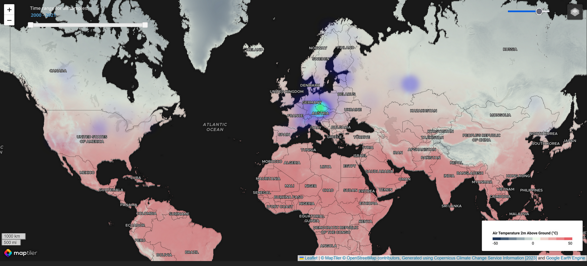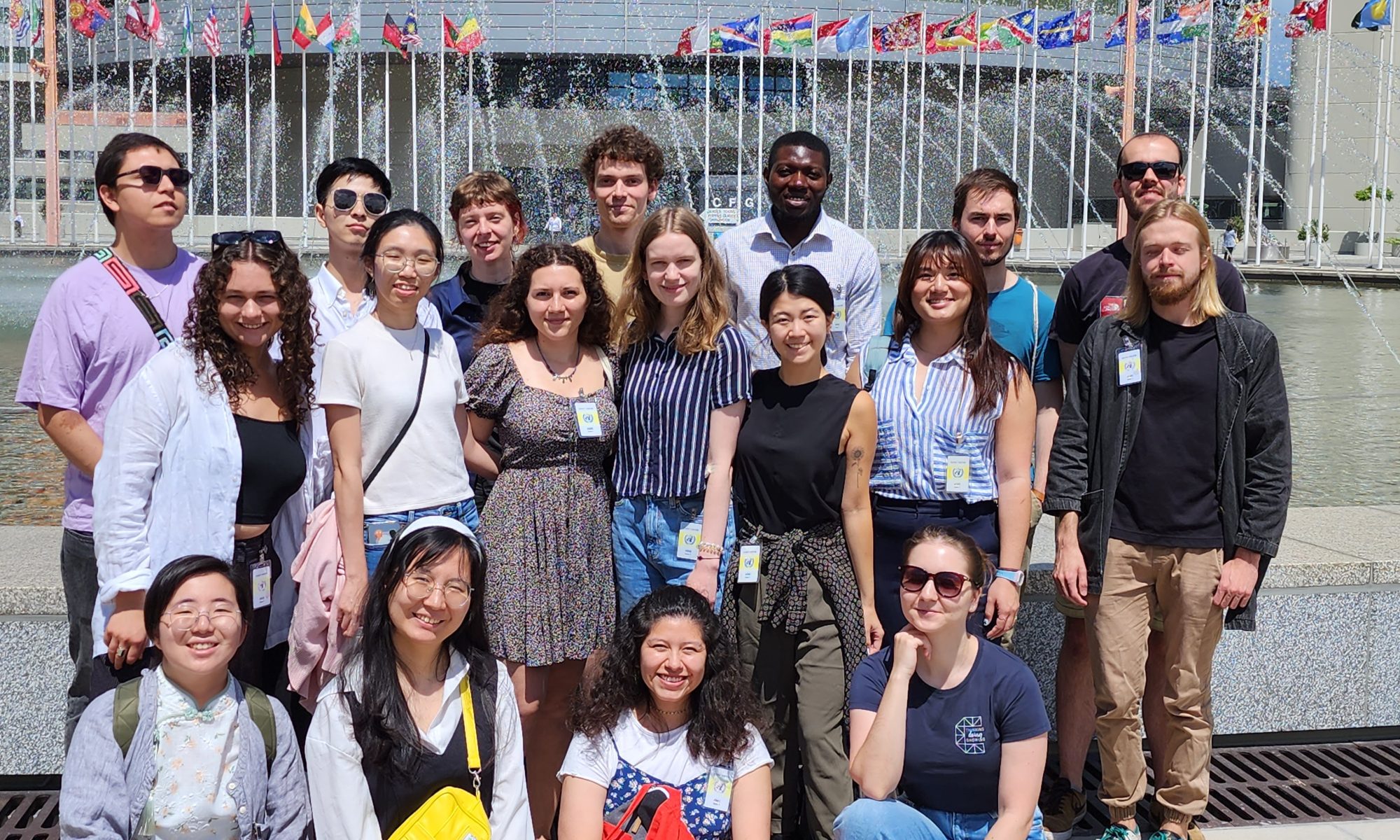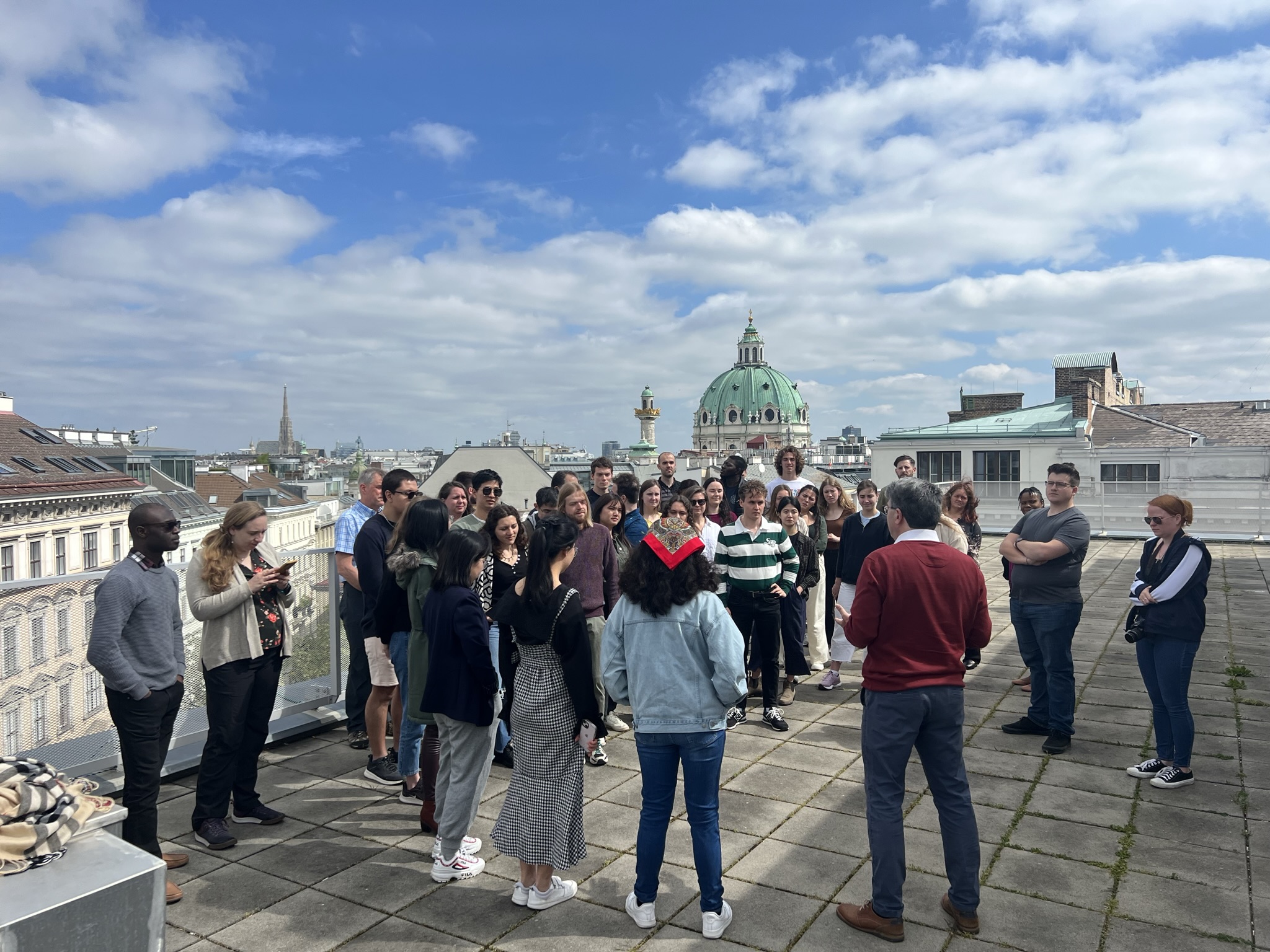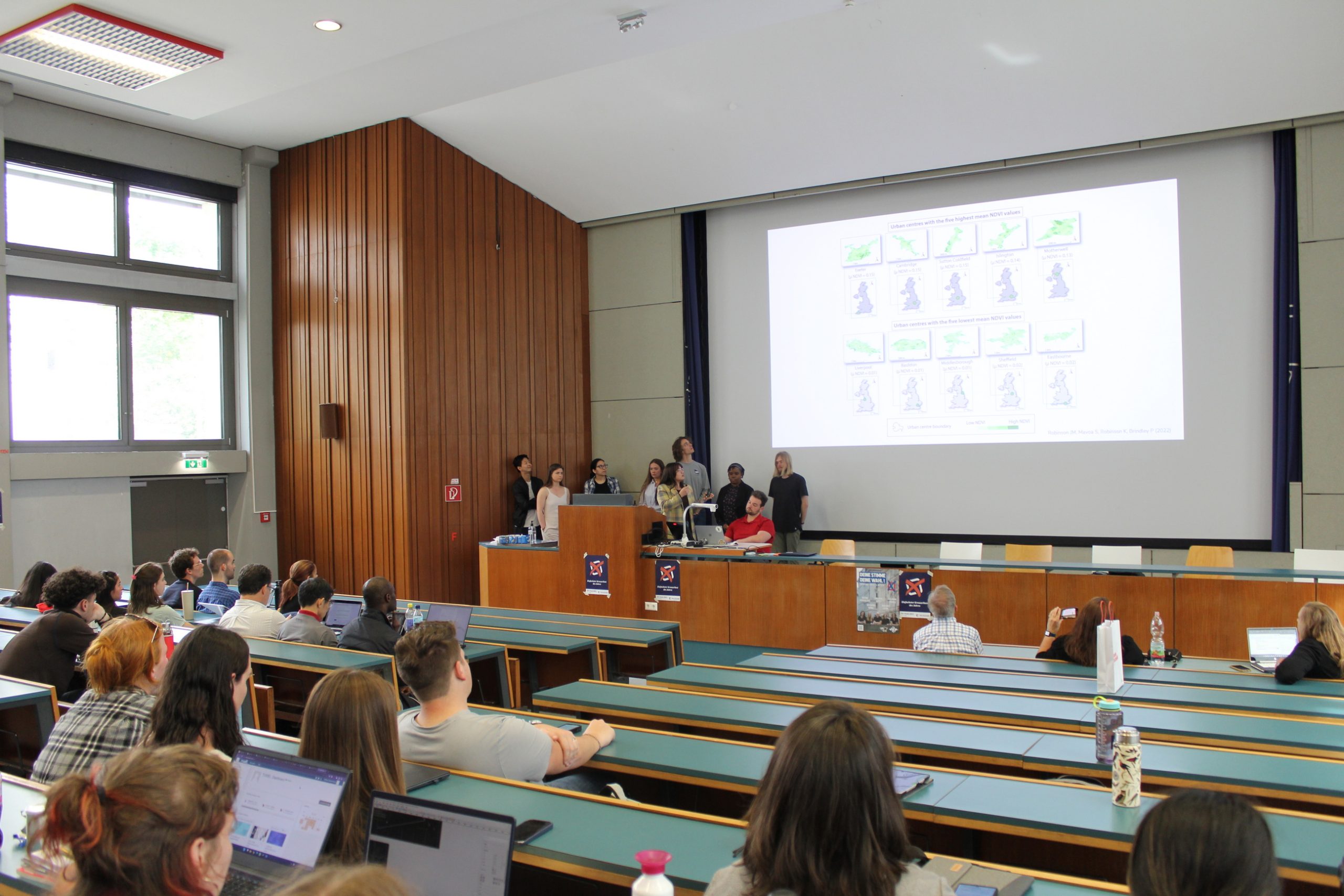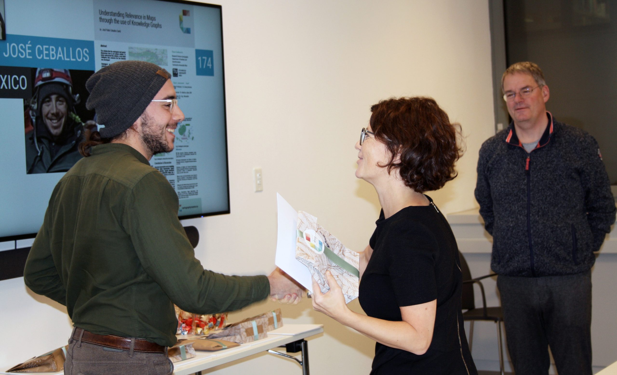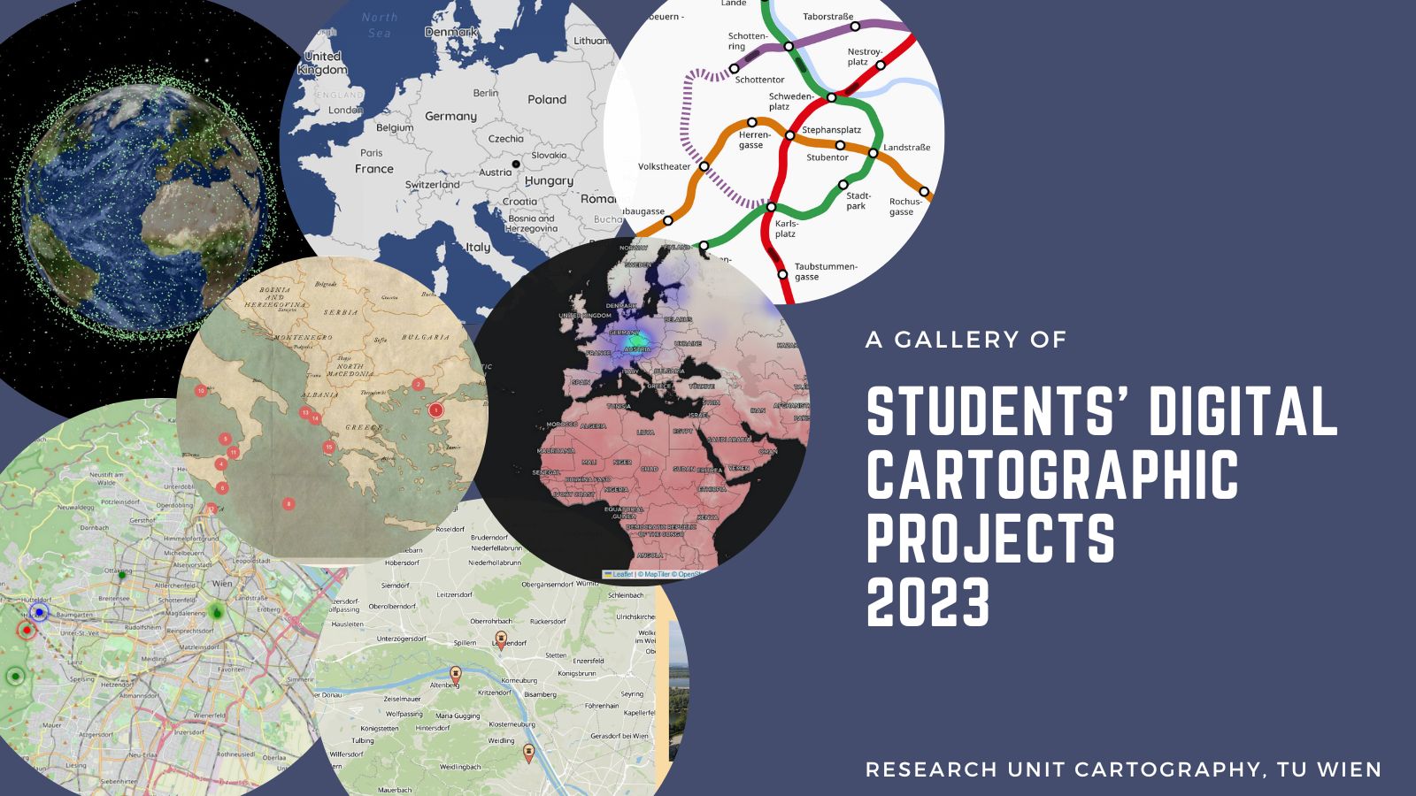
In the summer semester of 2023, students designed and developed digital cartographic projects within the LBS course. We are happy to share with you the gallery of the best projects.
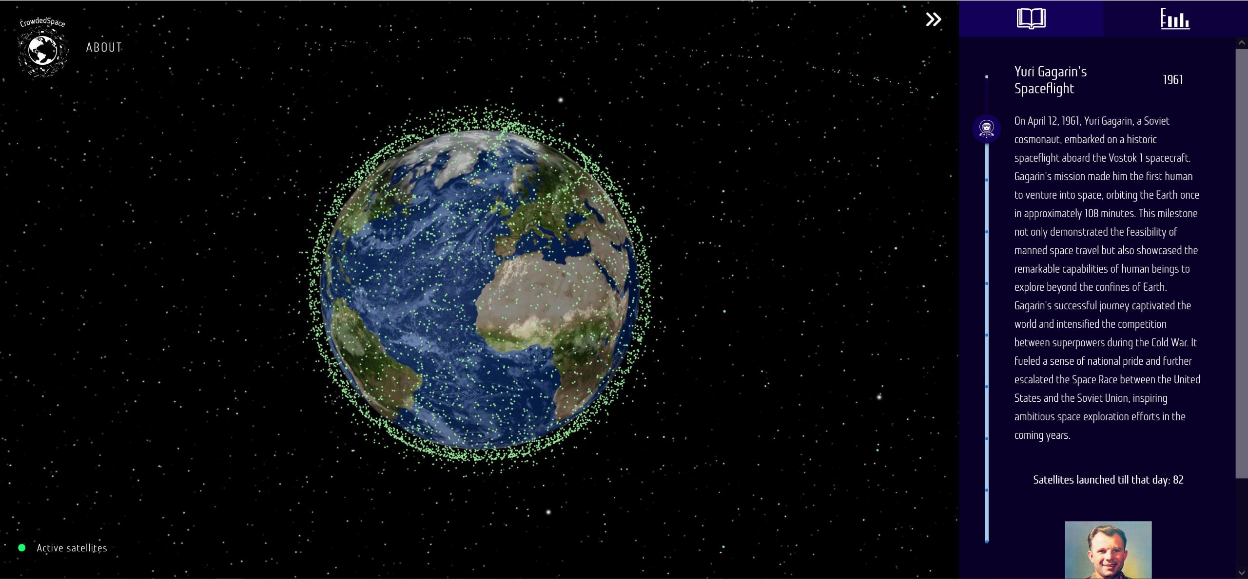
An interactive 3D view of the Earth by Cartography M.Sc. students Janek Łyczakowski, Lennart Kerl and Nicolás Martínez Heredia, which shows all active satellites and presents how humans have colonized and increasingly populated space with devices, combining it with storytelling to educate science for a broad audience.
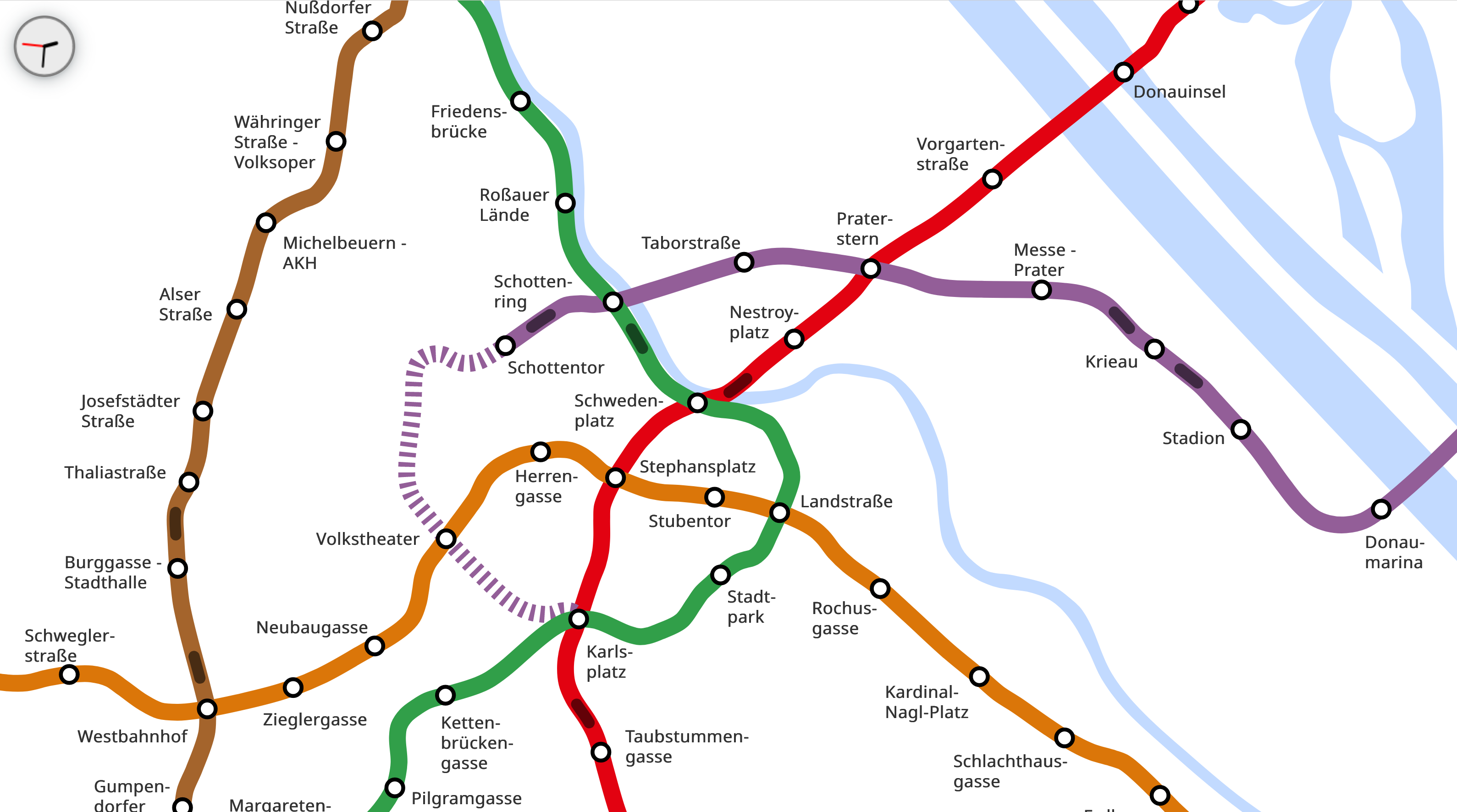
An animated web map with live information about the underground trains’ position in Vienna by Cartography M.Sc. students Luka Laval and Ander Palacios Fraile.
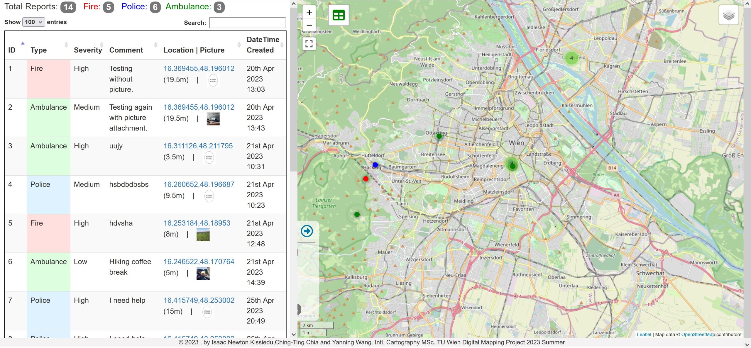
An application by Cartography M.Sc. students Isaac Newton Kissiedu, Ching-Ting Chia, and Yanning Wang to request emergency services in English in Austria. The team developed the dashboard with a map for emergency service and a mobile application for users to send emergency requests.
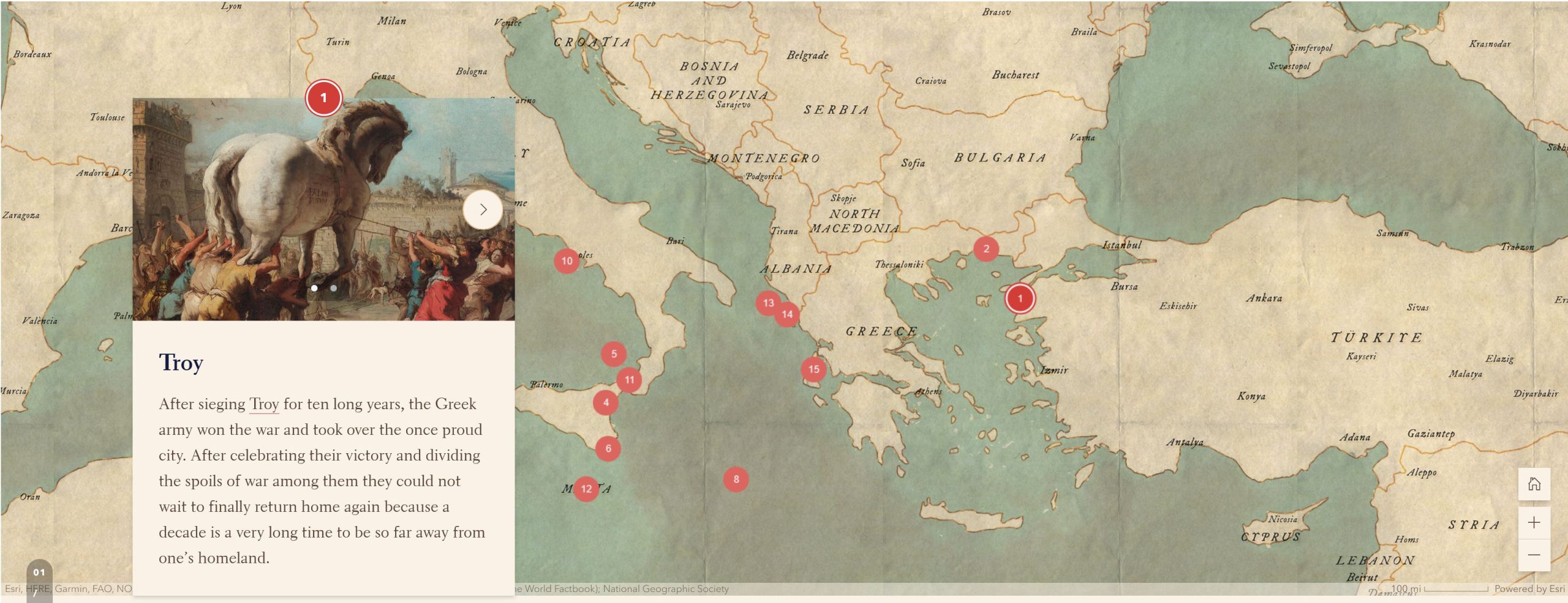
“Location-Based Odyssey”
A combination of an interactive map and a story map by Stefan Blochberger, Sophie Haselsteiner and Philipp Zehetgruber introduces the journey described in the Odyssey for younger audiences aged 10-14 years old.
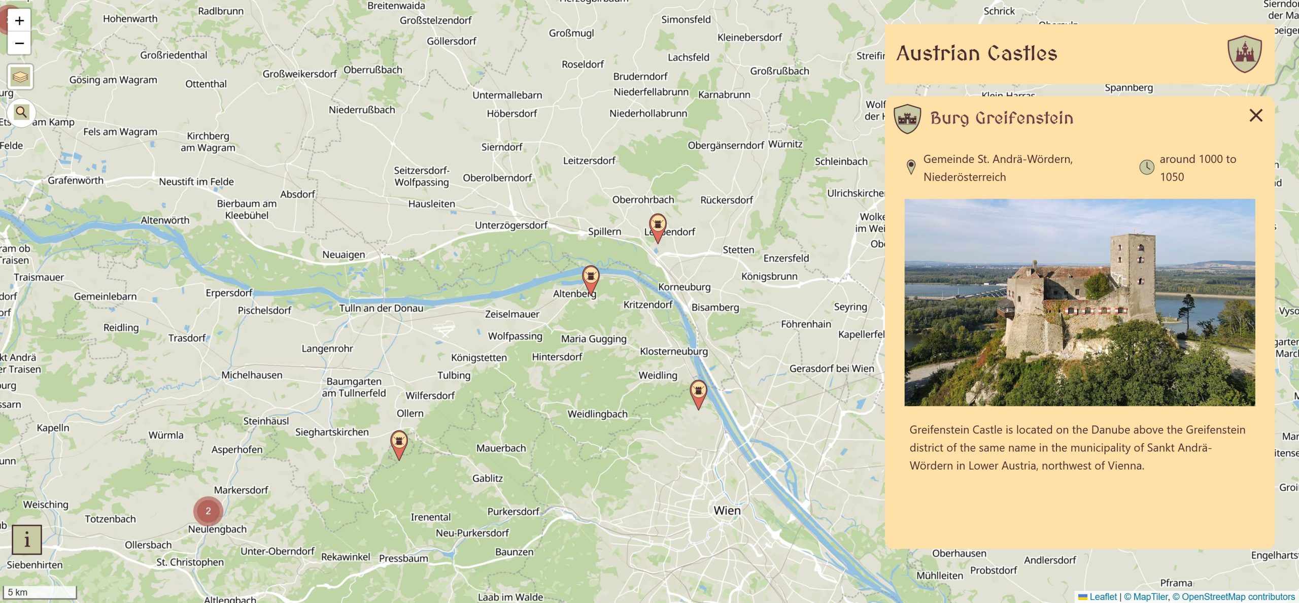
“Austrian Castles”
An interactive web map with information about castles in Austria by Cartography M.Sc. students Samuel Darkwah Manu, Yi Zhen Chew, and Ulrike Holfeld.
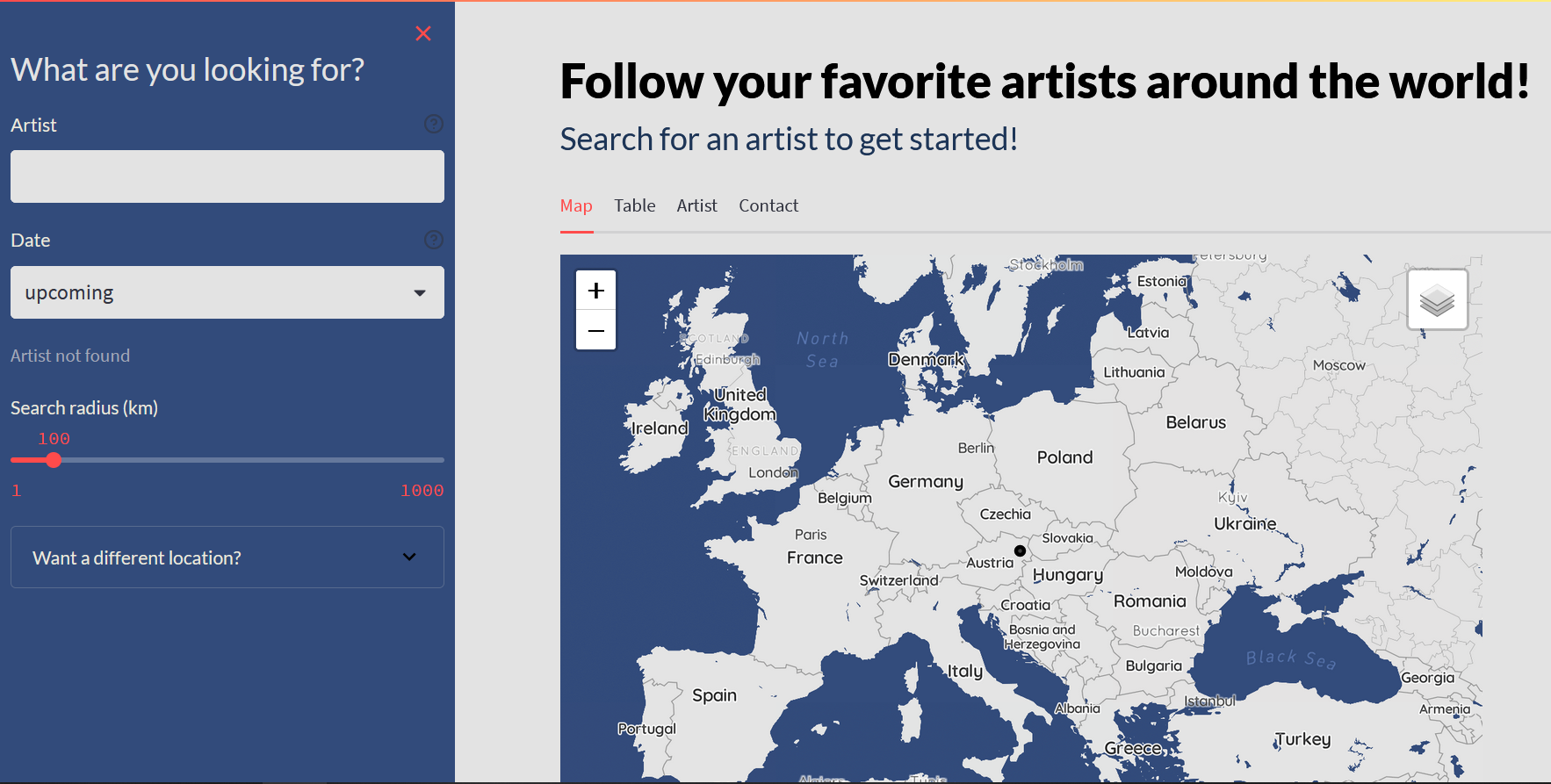
“Follow your favorite artist around the world!”
An interactive map dashboard by Stefan Christl, Lorana Myslimi, and Helena Anna Hettegger lets you easily explore your favourite artists’ concert locations worldwide.
The project by Cartography M.Sc. students Phoebe Ly, Dilara Bozkurt, and Zhenjiang Li utilizes the Global Fungi fungi NGS dataset to help scientists better analyze and visualize this data through a web map.