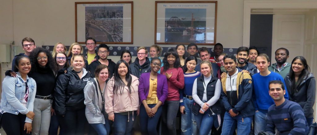
Master thesis defense on solar shadow map

We congratulate  Georg Molzer for finishing his Master’s studies with his thesis on “Interactive Web-based 3D Solar Shadow Map“.

Nowadays, the majority of people live in cities, consisting of ever taller building structures, occluding more and more sunlight. Thus, humans are getting increasingly restricted from direct access to the Sun. This thesis claims that a tool, enabling humans to gain a better understanding of solar shadows in cities and around the world, would be beneficial. […] Such a tool should be able to consider relevant three-dimensional occluding structures such as buildings, terrain, and vegetation, as well as the actual Sun position, and visualize respective shadows for arbitrary points in time, providing predictability of solar shadows. […] Therefore, a methodology towards a capable prototype implementation is framed […].

For more details visit the project website shadowmap.org.

Well done and best wishes for your future career!
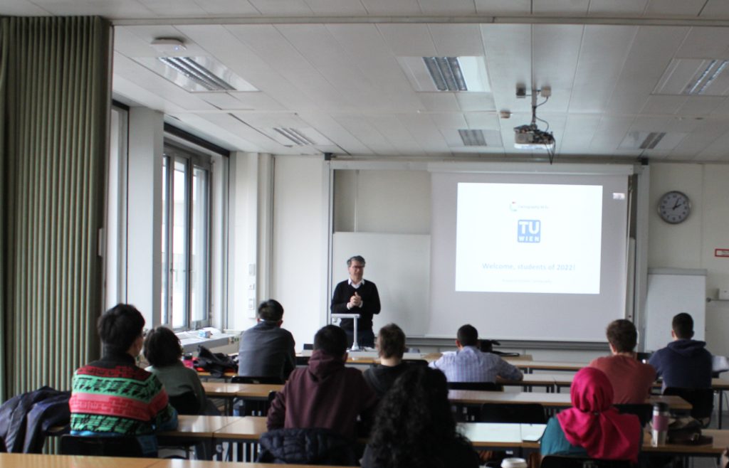
Master thesis presentations 2019

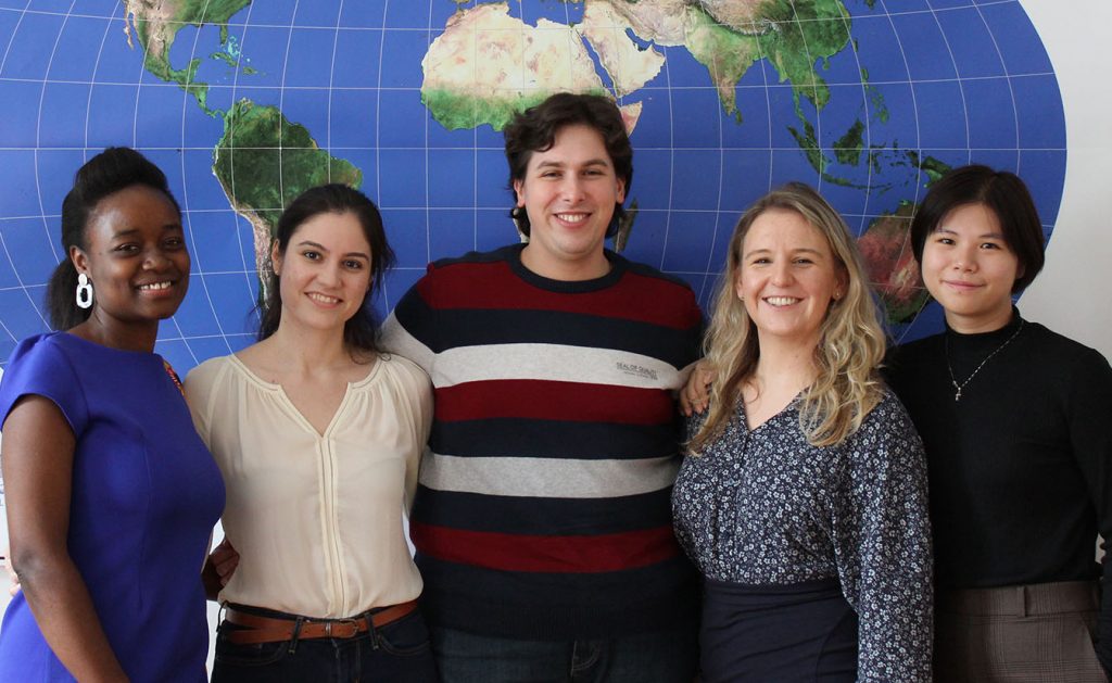
We congratulate  Metrine, Maria, Marko, Agnieszka, and Yingwen for finishing their International Master in Cartography!

  • Metrine Muyoka Bwisa: Effects of Uncertainty Visualization on Decision Making and User Confidence: An Empirical Study
  • Maria Athanasiou: Comparing Social Media Topics of Interest associated with places according to user’s origin
  • Marko Tošić: Analysing the potential of network kernel density estimation for the study of tourism based on geosocial media data
  • Agnieszka Mańk: Cartographic symbolization for high-resolution displays
  • Yingwen Deng: Tourists vs. locals: mapping urban traces from social media
Metrine Muyoka Bwisa, Maria Athanasiou, Marko Tošić, Agnieszka Mańk, and Yingwen Deng

Well done and best wishes for your future careers!

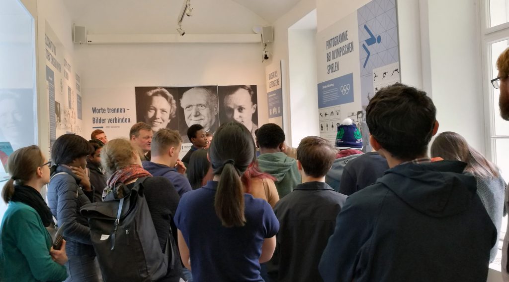
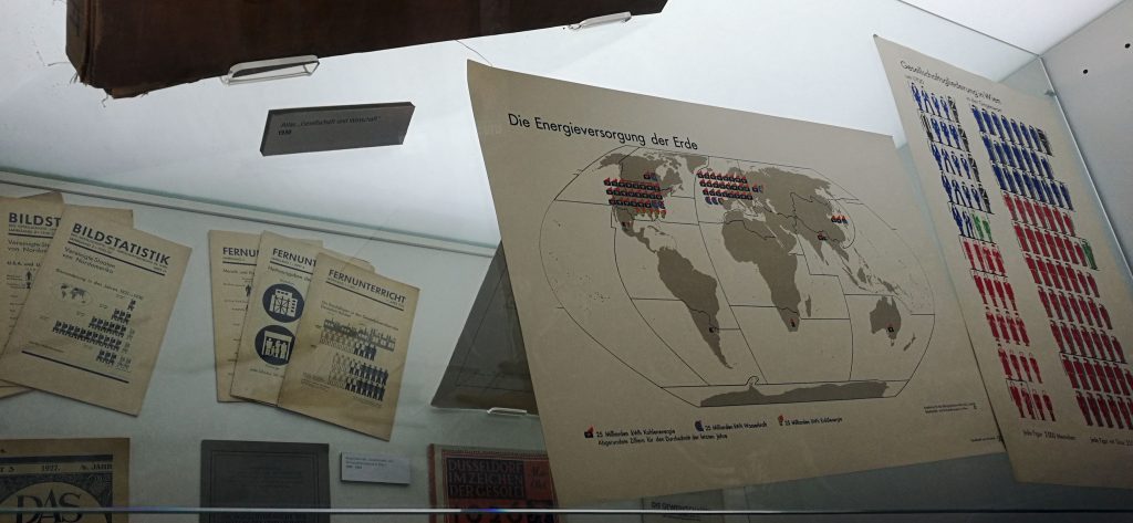
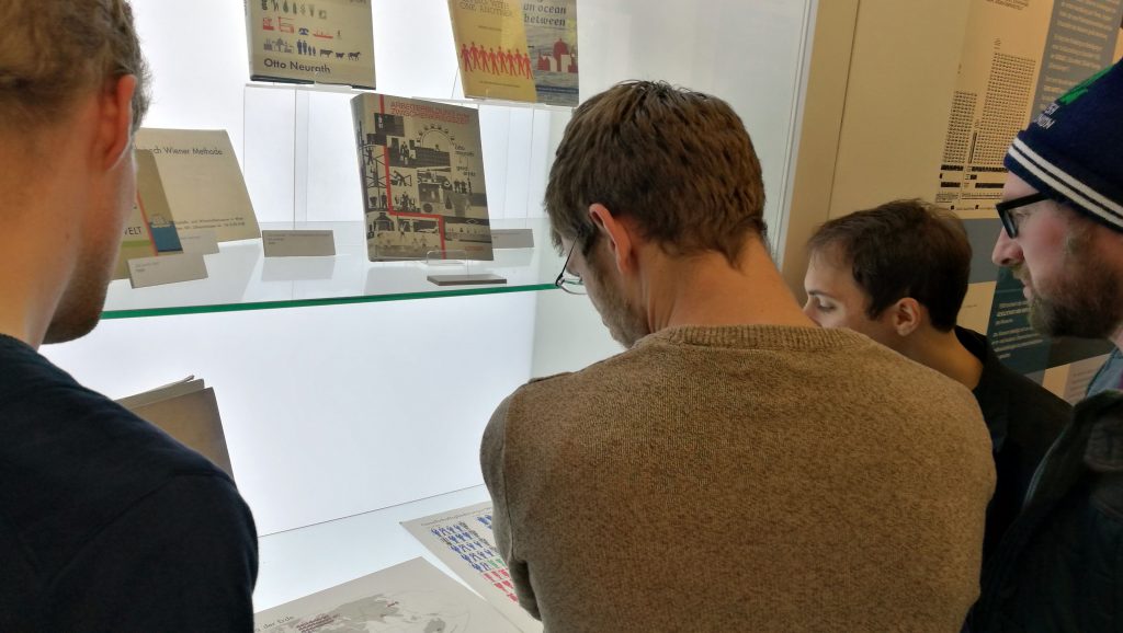
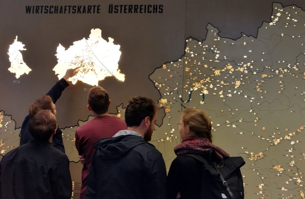
International Master of Cartography students at Otto Neurath exhibition

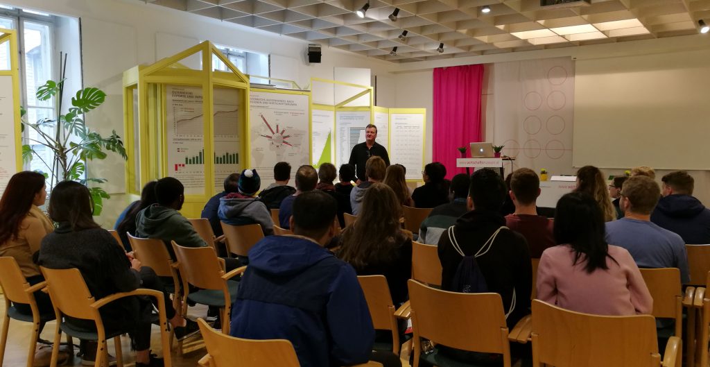
Together with our students of the International Master of Cartography, we visited the Otto Neurath exhibition “Sprechende Zeichen at the Wirtschaftsmuseum in Vienna. The exhibition is dedicated to Otto Neurath, founder of the Society and Economic Museum. Otto Neurath developed new graphics techniques during the First World War. He was a member of the philosophical Wiener Kreis and developed the Viennese method of image statistics to present statistics in an easily understandable, visual form.

Students from the Cartography Master meet students from Iowa State University

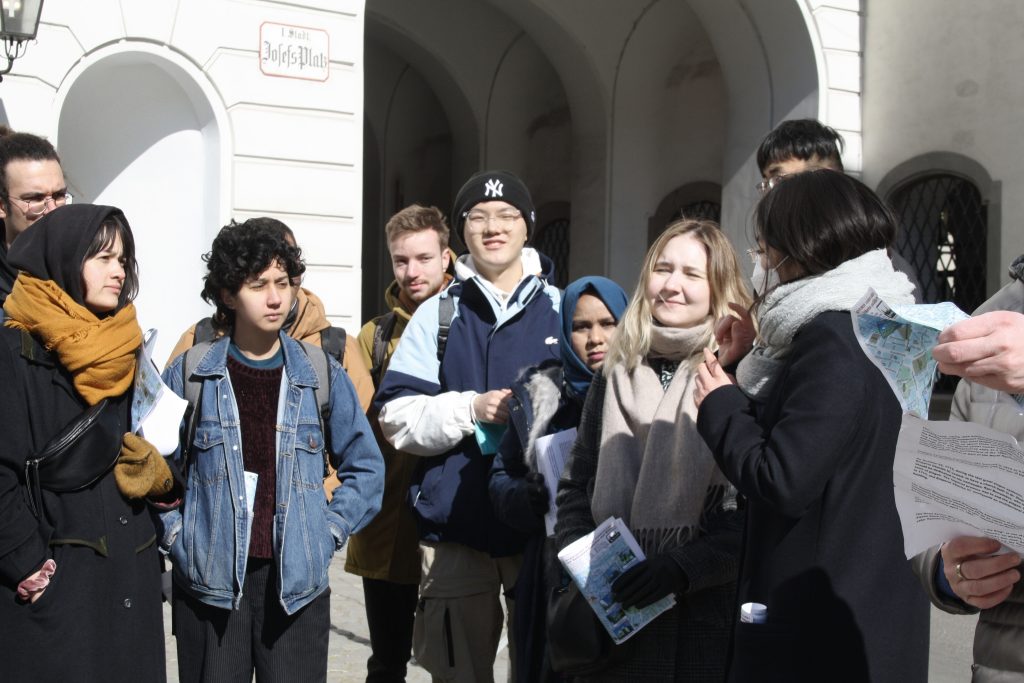
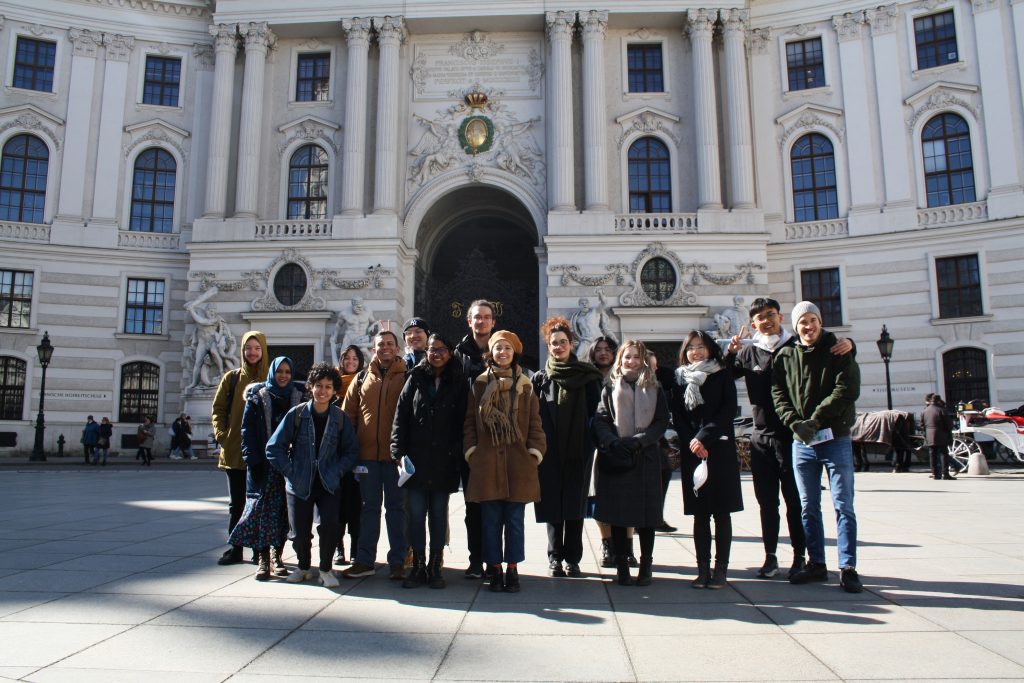
Thanks to Alenka Poplin and her students from Iowa State University for visiting our Research Division during spring break! Together with our students from the International Cartography Master program, they were introduced to the research field of emotion mapping and jointly conducted interviews in which they explored how Vienna is perceived by its inhabitants and where people find restorative places in the city.

Cartography Master students and students from Iowa State University

Welcome to Vienna to the 8th intake of the International Master in Cartography

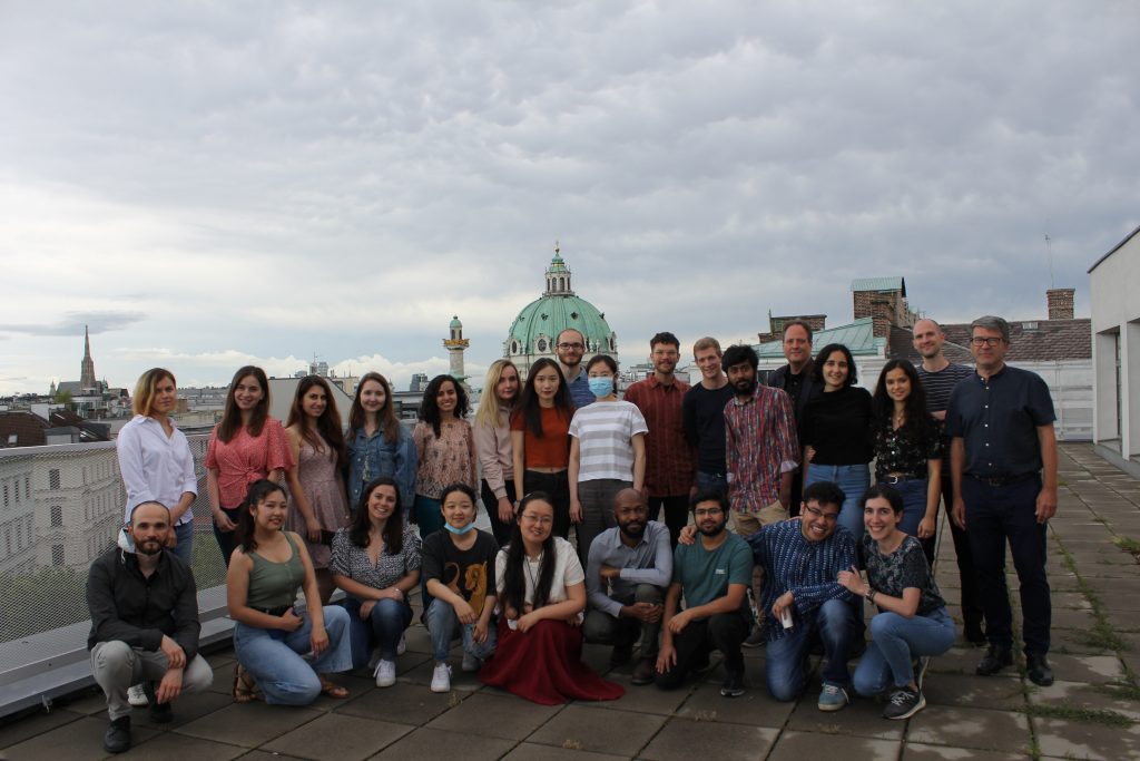
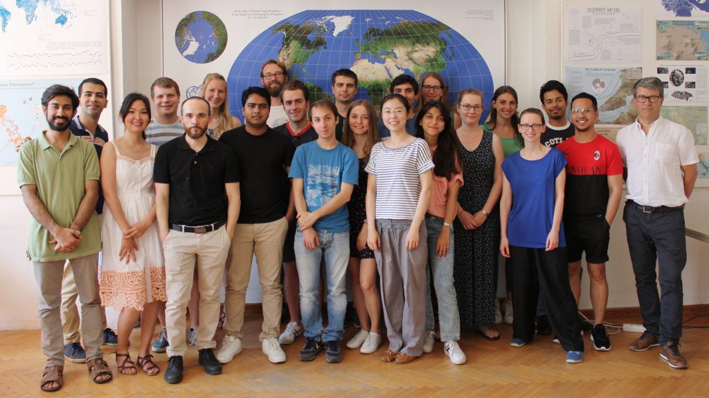
We are happy to welcome 30 students of the International Master in Cartography at TU Vienna for the summer semester 2019. This intake’s students come from 19 countries: Bangladesh, China, Colombia, France, Germany, Greece, India, Iran, Italy, Kazakhstan, Nigeria, Pakistan, Philippines, Russia, Trinidad and Tobago, UK, Ukraine, USA and Zimbabwe.

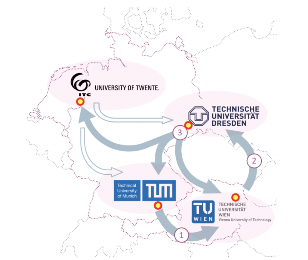
After finishing their first semester at TU München, the students are now with us for their second semester, before they move to TU Dresden. We are really happy to have them here and wish them a fun & successful semester!

To find out more about the International Master in Cartography, please visit cartographymaster.eu.

Welcome 8th intake of the International Master in Cartography!

This year we are proud and happy to welcome 30 students from 19 different countries to the International Cartography Master program! The program’s first semester started with a welcoming week in Munich. A week full of activities and opportunities to meet & greet new students, alumni from previous intakes, and members from all four partner universities: TU München, TU Wien, TU Dresden, and UTwente.

We wish all students a great and successful time in Munich and we look forward to welcoming the students this summer term in Vienna!

To find out more about the International Master in Cartography, please visit cartographymaster.eu.

Hike to Hermannskogel with students of the International Master of Cartography

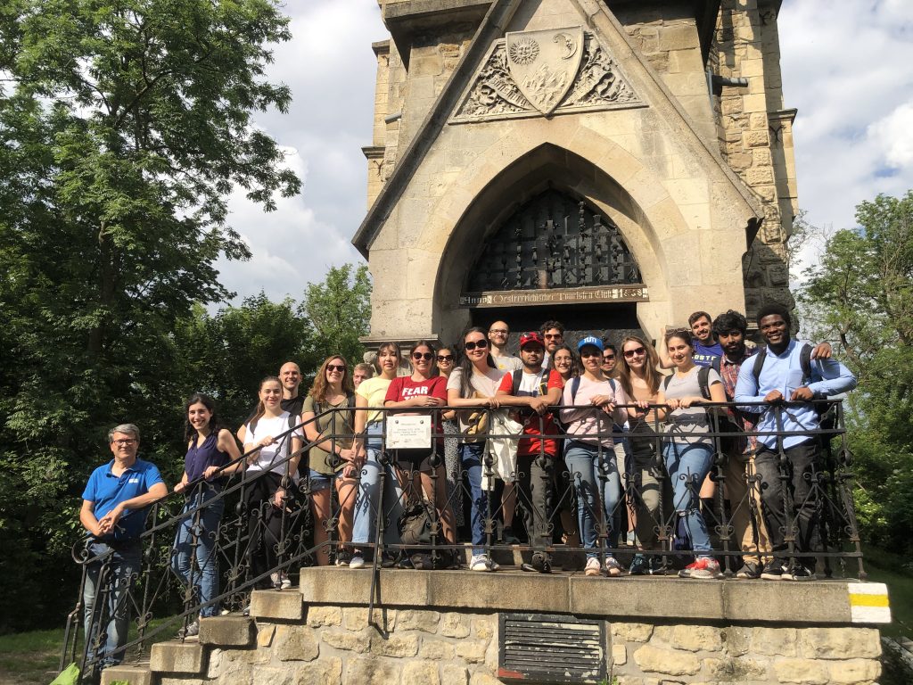
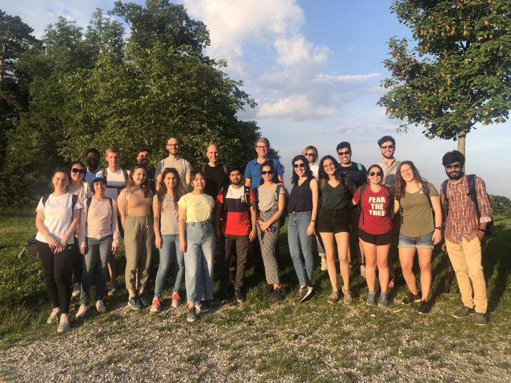
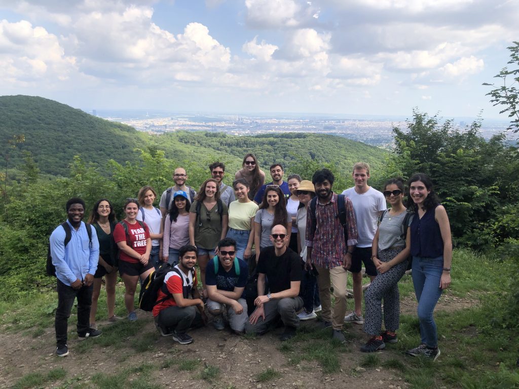
On June 16, students of the International Master of Cartography were invited on a hike to Hermannskogel. The hill is not only the highest peak of Vienna but also a geodetic fundamental point. The small exhibition at Habsburgwarte gave some insights into its history as the kilometre zero of cartographic measurements in Austria-Hungary.

Continue reading “Hike to Hermannskogel with students of the International Master of Cartography”