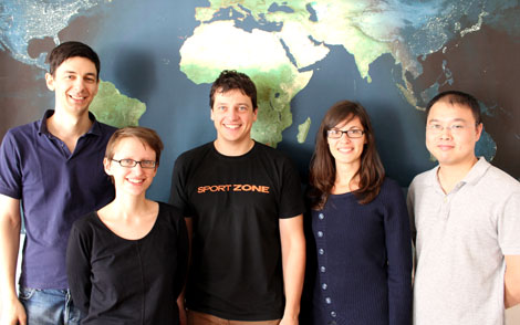
Zdeněk Stachoň, PhD is a member of research team of Laboratory on Geoinformatics and Cartography (LGC). Since 2009 works as Assistant professor on Institute of Geography, Masaryk University. He focuses mainly on GIS technologies, map usability testing, semiotics, toponomastic and historical cartography.
We are happy to welcome Zdeněk for a CartoTalk:
Selected issues of cartographic visualization testing
Maps as spatial representations are used by different users in various situations. There are a number of approaches and methods of cartographic visualization, that has been developed based for example on Bertin’s theory of graphic variables and combining both static and dynamic elements of visualization. Development of information technologies allowed cartographers to produce more personalized maps.
The issue of spatial data visualization is studied for a long period. Challenge is generated by need of evaluation of designed visualization. Despite partial achievements and existing conceptual approaches to visualisation evaluation, relatively little is known about specific influence of certain visualization on end users, especially on their ability to use the given visualization in an effective and unambiguous way.
The ongoing research on mentioned topic will be presented and the process of test development for selected methods of cartographic visualization will be described. The web-based testing application Mutep was used enabling parallel testing of heterogeneous user groups, automatic recording of test results, and semiautomatic processing for final evaluation.
Wednesday, 19 September 2012, 11 am
Research Group Cartography
Erzherzog-Johann-Platz 1, 1040 Wien
Download the PDF of the presentation slides [4 MB]
This post was automatically fetched from geo.tuwien.ac.at. Please find the original here.


 Jan D. Bláha from