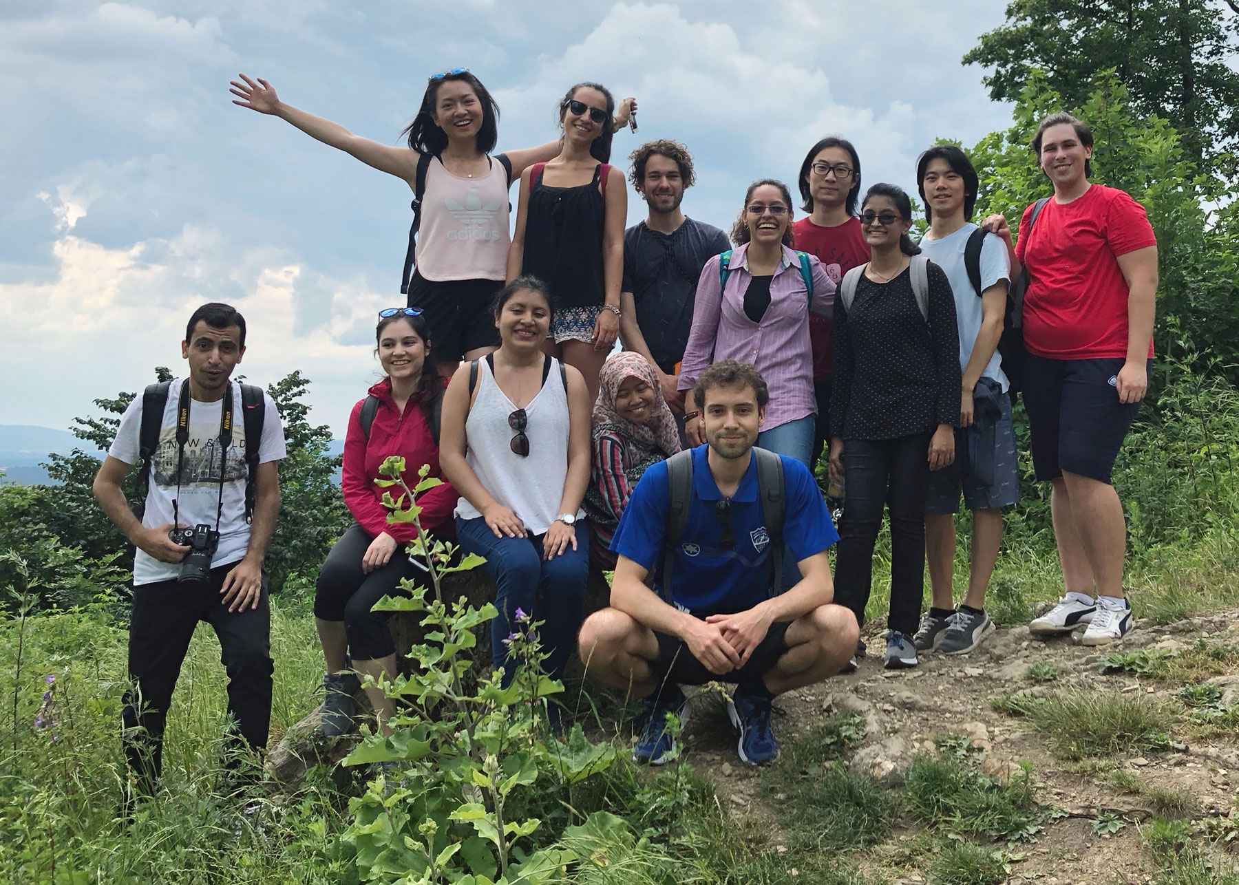
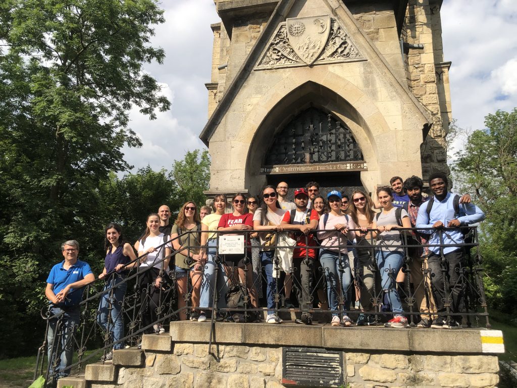
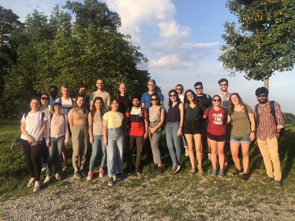
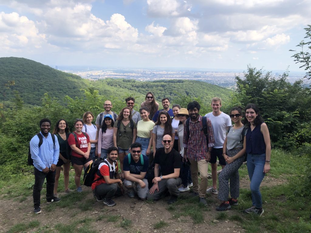
Together with our students of the International Master of Cartography, we went on a hike to Hermannskogel last week. In perfect weather conditions, we reached the highest natural point of Vienna – at 542 metres above sea level. Atop the Hermannskogel, we visited the Habsburgwarte, which marked the kilometre zero in cartographic measurements in Austria-Hungary until 1918.
Hike to Hermannskogel with students of the International Master of Cartography 2019
On March 29, students of the International Master of Cartography went on a hike to Hermannskogel. The hill is the highest peak of Vienna and a geodetic fundamental point. The small exhibition at Habsburgwarte gave some insights into its history as the kilometre zero of cartographic measurements in Austria-Hungary.
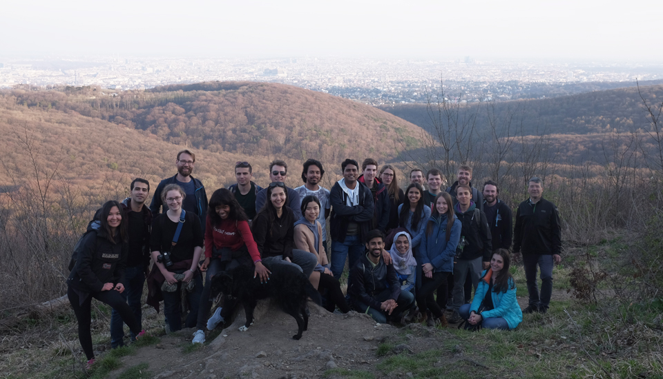
Hike to Hermannskogel with students of the International Master of Cartography
On June 16, students of the International Master of Cartography were invited on a hike to Hermannskogel. The hill is not only the highest peak of Vienna but also a geodetic fundamental point. The small exhibition at Habsburgwarte gave some insights into its history as the kilometre zero of cartographic measurements in Austria-Hungary.
