Cartography M.Sc. Theses Defenses

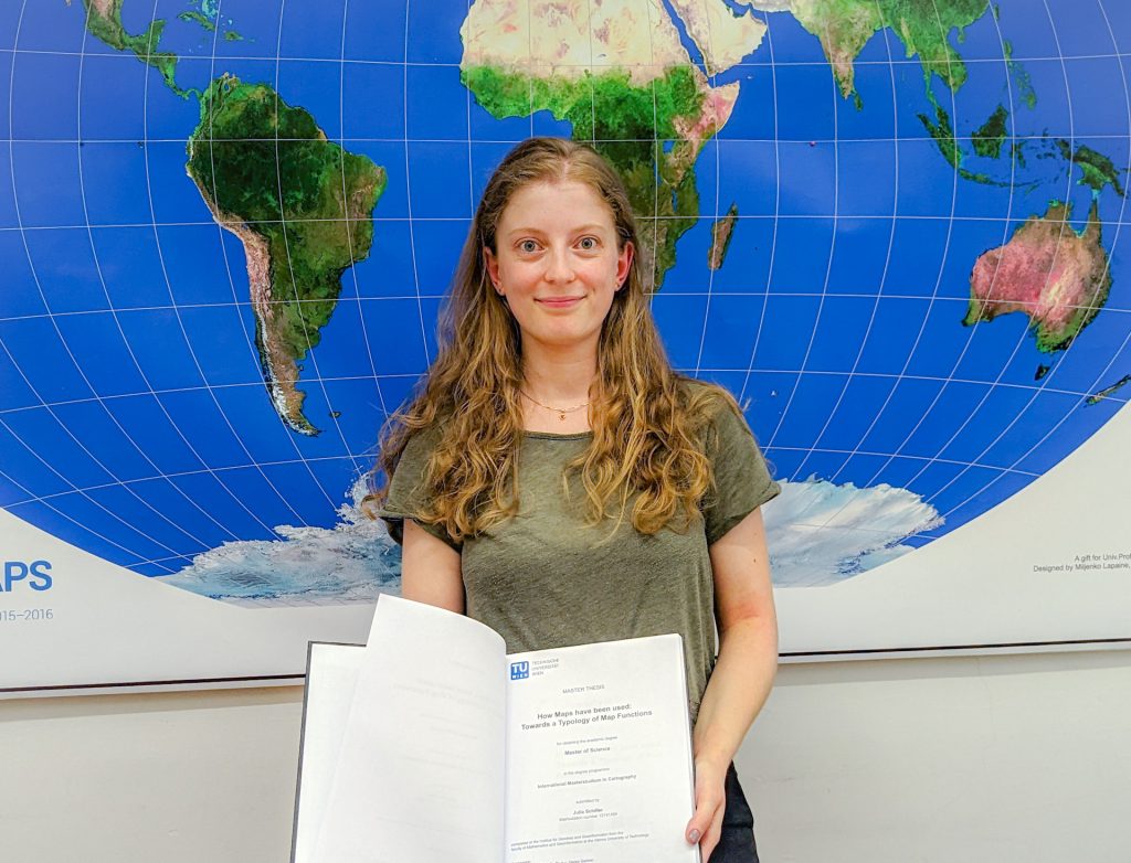
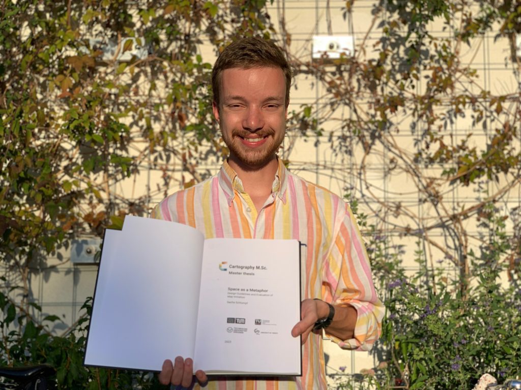
Five students from the Cartography M.Sc. programme successfully defended their theses at TU Wien on the 22ns and 23rd of September. We sincerely congratulate them and wish them success in the future discovers!

José Pablo Ceballos Cantú “Maps+ – Enhancing maps from knowledge networks”
Vivien van Dongen “The application of a user-centered design framework for a static topographic ski touring map”
Lydia Youngblood “Narrating the route”
Sangho Lee “Tracing the Evolution of Digital Cartography in Cartography Textbooks”
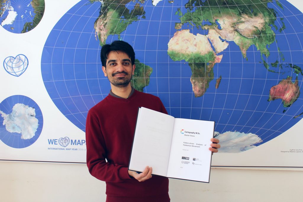
Héctor Ochoa Ortiz “Pedestrian routing of periodically changing areas using Volunteered Geographical Information (OpenStreetMap)”

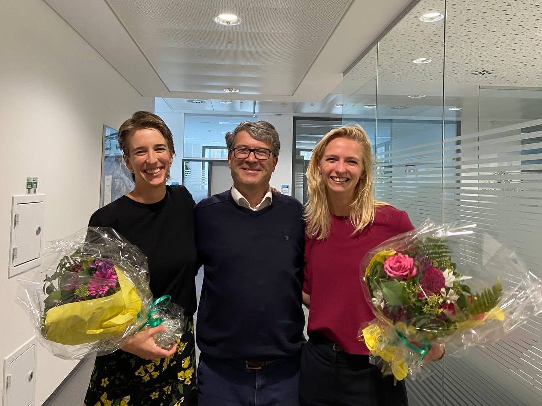
Lydia Youngblood, Prof. Georg Gartner and Vivien van Dongen after the defense at TU Wien on the 22nd of September.

Master thesis defense on solar shadow map

We congratulate  Georg Molzer for finishing his Master’s studies with his thesis on “Interactive Web-based 3D Solar Shadow Map“.

Nowadays, the majority of people live in cities, consisting of ever taller building structures, occluding more and more sunlight. Thus, humans are getting increasingly restricted from direct access to the Sun. This thesis claims that a tool, enabling humans to gain a better understanding of solar shadows in cities and around the world, would be beneficial. […] Such a tool should be able to consider relevant three-dimensional occluding structures such as buildings, terrain, and vegetation, as well as the actual Sun position, and visualize respective shadows for arbitrary points in time, providing predictability of solar shadows. […] Therefore, a methodology towards a capable prototype implementation is framed […].

For more details visit the project website shadowmap.org.

Well done and best wishes for your future career!

Master thesis presentations 2019

We congratulate  Metrine, Maria, Marko, Agnieszka, and Yingwen for finishing their International Master in Cartography!

  • Metrine Muyoka Bwisa: Effects of Uncertainty Visualization on Decision Making and User Confidence: An Empirical Study
  • Maria Athanasiou: Comparing Social Media Topics of Interest associated with places according to user’s origin
  • Marko Tošić: Analysing the potential of network kernel density estimation for the study of tourism based on geosocial media data
  • Agnieszka Mańk: Cartographic symbolization for high-resolution displays
  • Yingwen Deng: Tourists vs. locals: mapping urban traces from social media
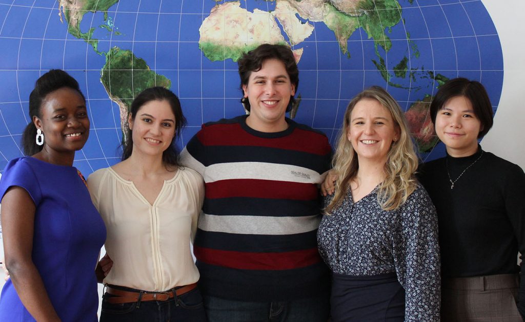
Metrine Muyoka Bwisa, Maria Athanasiou, Marko Tošić, Agnieszka Mańk, and Yingwen Deng

Well done and best wishes for your future careers!

Master thesis presentations

We congratulate Kaidi Guo and Christopher Hogg for finishing their International Master in Cartography!

  • Kaidi Guo discussed her findings on “Spatial-temporal analysis of international connections based on textual social media data”.
  • Christopher Hogg presented his thesis on “An investigation in the requirements and design of an online cartographic data comic editor”.

Well done and best wishes for your future careers!

Master thesis presentation on 16.12.2015

On December 16, Francisco Daniel Porras Bernárdez, student of the International Master of Cartography (3rd intake), presented his master thesis on the topic of “Extraction of user’s stays from GPS logs: A comparison of three spatio-temporal clustering approaches”. His presentation is accessible online here.

Haosheng Huang, Francisco Daniel Porras Bernárdez and Georg Gartner after the master presentation


Anna Vetter won the 2015 swisstopoEDU-MSc promotion programme

Anna Vetter
Anna Vetter after her master presentation in Dec 2014

Anna Vetter, alumni of the second intake of the International Master of Cartography, won the 2015 swisstopoEDU-MSc promotion programme for her thesis The automatic generalisation of buildings whilst maintaining the settlement structure: A case study based on the 1:50‘000 Swiss National Map Series, which she wrote in collaboration with swisstopo, ESRI Switzerland and the Research Group Cartography. Congratulations, Anna!

More about the swisstopoEDU-MSc promotion programme can be found here: swisstopo.admin.ch

New topics for bachelor’s and master’s theses

Below is a list of possible topics for bachelor’s and master’s theses from our group. In case of interest, please contact the underlined supervisor.

Master: Kartenproduktion mittels unterschiedlicher GIS/DTP-Workflows

Die Anforderungen eines qualitativen Kartenerstellungsprozesses (z.B. für Wander- und Freizeitkarten großen und mittleren Maßstabes) erfordern derzeit noch den Einsatz unterschiedlicher Tools aus GIS- und DTP-Systemen. Mit einem österreichischen Kartenverlag sollen unterschiedliche Vorschläge zur Erhöhung der Effizienz im Produktionsablauf für kartographische Bearbeitungsprozesse erarbeitet werden.

  • Besondere Kenntnisse: Vorkenntnisse kartographischer Desktop Publishing Software (lllustrator, OCAD), GIS-Software (ArcGIS) von Vorteil
  • Besondere Erfordernisse: enge Verknüpfung mit einem oberösterreichischen Kartenverlag
    inkl. eventuellem Aufenthalt erwünscht
  • Betreuer: Gartner, Schmidt

Bachelor: Erstellen eines Basiskartenstils nach Vorlage einer bestehenden Karte

Die Stile einer bestehenden Basiskarte sollen zunächst systematisch erfasst (z.B. mit Hilfe von ScaleMaster-Tabellen) und im Anschluss mit OpenStreetMap-Daten umgesetzt werden.

  • Besondere Kenntnisse: Erfahrung mit OSM und Webmapping-Kenntnisse von Vorteil
  • Betreuer: Gartner, Schmidt

Bachelor: Vergleich frei verfügbarer Verwaltungsgrenzdatensätze

Mittlerweile gibt es eine Reihe frei verfügbarer Grenzdatensätze für Österreich. Von dem weltweit verfügbaren Datensatz Natural Earth über verschiedene aus OpenStreetMap abgeleitete Geometrien, bis hin zu Datensätzen aus administrativen Quellen (BEV, Länder-GIS). In der Arbeit sollen die Unterschiede der Datensätze (Qualität, Aktualität, Lizenz, Provenienz, Verfügbarkeit von Metadaten) herausgearbeitet und einfach verständlich unter CC-Lizenz aufbereitet werden.

  • Betreuer: Gartner, Schmidt, Ledermann

Master: Indoor route planning

Route planning is a basic element in navigation, and aims at computing an optimal route between an origin and a destination. Current indoor route planners often provide users with shortest routes. This research will explore methods to provide routes with other characteristics, such as simplicity and fewest-turns. The main building of TU Wien (or other similar public places) will be used as a test area.

  • Requirements: Interests in data modelling and analysis
  • Supervisor: Gartner, Huang

Master: Indoor semantic wayfinding

Currently, semantic-enriched navigation systems become more and more popular. Instead of providing metric-based route instructions such as “walk straight in 100 meters”, semantic-based navigation systems provide users with semantic-enriched instructions, such as “walk straight, pass the theatre, and walk to the crossing” or simply “cross the park”.  This kind of guidance is more natural to users, and can improve users’ navigation performances. However, current literature only addresses semantic wayfinding for outdoor environment, while the applications in indoor environment have not been approached. This research aims at answering some fundamental questions of indoor semantic wayfinding , such as “what is an indoor landmark?” and “what are the direction and motion concepts used in indoor naivgation?” Methodology and approaches (mainly, field user study) from our previous research project SemWay (mainly for outdoor, refer to the following papers for more details) will be reused for indoor environment. The answers to these fundamental questions can be assembled to build semantically enriched indoor navigation systems.

  • Requirements: Interest in empirical user studies
  • Supervisor: Gartner, Huang

Master: Diagrammatic Maps from OpenStreetMap Data

Rendering diagrammatic and small-scale maps, like depictions of country-wide road or railway networks, requires the generalization of overly detailed geometry as well as the consistent reproduction of network topologies of large geographic extent. In contrast to these requirements, data created in volunteered geographic information (VGI) systems like OpenStreetMap exposes a high level of local geometric and semantic detail, large individual differences in data annotation styles and fragile topological integrity.

The goal of this project is to develop methods for extracting the necessary information to create high-quality diagrammatic & schematic maps from VGI data, to identify relevant use cases and their specific requirements (e.g. road, rail, river networks), to review the literature for suitable approaches and to suggest guidelines for the volunteered geographic information community to improve the data to better support such representations if necessary.

  • Requirements: Scripting/Programmierung, OpenStreetMap-Erfahrung von Vorteil
  • Supervisor: Gartner, Ledermann

Master: NutzerInnen-Test linearer Zeit-Kartogramme

Im Gegensatz zu Isochronen sind lineare Kartogramme eine selten angewandte kartographische Methode. Mittels NutzerInnen-Test sollen die Stärken und Schwächen der Methode im Vergleich zur Isochronen-Darstellung ermittelt werden.

  • Besondere Kenntnisse: Interesse an empirischen NutzerInnen-Studien, Programmierkenntnisse von Vorteil
  • Besondere Erfordernisse: hohe Eigeninitiative
  • Betreuer: Gartner, Schmidt