13th International Conference on Location-Based Services

Thank you for participating in LBS 2016, the 13th Conference on Location-Based Services!

lbs_logo

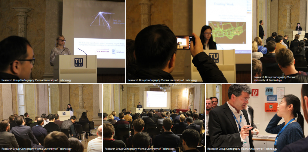
From 14 to 16 November 2016, the conference was once again organized by the ICA Commission on Location-Based Services and the Research Group Cartography, taking place at TU Vienna. After its initiation at TU Vienna in 2002, the conference travelled around the world – with venues in Austria, China, Germany, and United Kingdom.

This year we were again priviledged to host more than 120 participants from 23 countries, contributing to the conference with high quality presentations and inspiring discussions. Thank you for making the conference such a memorable event again!

Photos of the event can be found at Google Photos.

A review of the event by the Viennese company indoo.rs can be found here: slaminfo.indoo.rs/lbs-vienna-2016-review

lbs_screenshot2

Bachelor thesis presentations on Open Government Data and OpenStreetMap styling

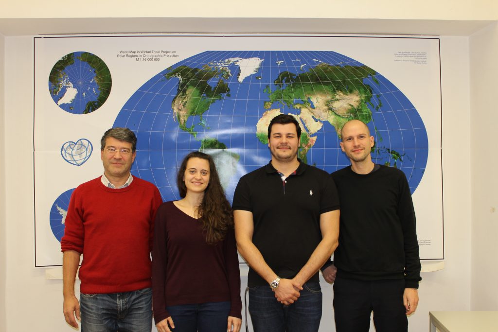
On November 11, two students presented their bachelor theses: Mariela Nazlamova presented her work “Open Government Data in Austria. Analyzing the Potential of Cartographic Visualization of Spatial Administration Data” (supervised by Gartner and Ledermann), and Christopher Kmen presented his work on replicating the basemap.at map style for OSM data.

For Mariela, this was the last step in completing her studies at TU Wien – congratulations and best wishes for your future career!

img_4093

Danke, Mika!

Mirjanka LechthalerMit großer Bestürzung haben wir vom Ableben unser langjährigen Kollegin Ass.-Prof. Dipl. Ing. Dr. Mirjanka Lechthaler erfahren. Mika, wie sie von uns allen genannt wurde, war mit Herz und Seele Kartographin. Sie hat sich mit großer Hingabe den Aufgaben der wissenschaftlichen Kartographie gewidmet.
Unvergesslich ist ihr Engagement in der Lehre, mit der sie eine Vielzahl von Studierenden mit ihrer Begeisterung und ihrem Enthusiasmus anstecken konnte. Sie war in einer Vielzahl von Gremien an der TU Wien, auf Fakultäts- und auf Institutsebene tätig, immer mit ihrer positiven und gewinnenden Art für eine konstruktive Athmosphäre sorgend. In Zeiten großer Herausforderungen und Veränderungen der modernen Kartographie war sie immer eine felsenfeste Stütze.

Mika war eine besondere Kollegin. Aber viel mehr als das war Mika ein besonderer Mensch. Sie war authentisch, fröhlich, loyal, engagiert und an ihrem Umfeld, insbesondere an Menschen, interessiert.

Sie hat uns in vielerlei Hinsicht inspiriert.
Sie wird uns fehlen.

– Georg Gartner

Welcome to Silvia Klettner and Francisco Porras Bernárdez

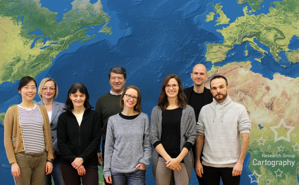
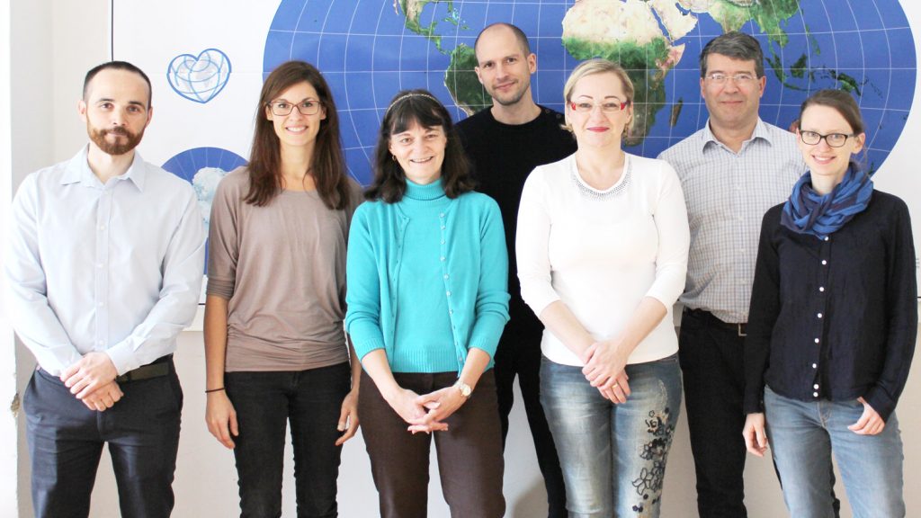
We are looking forward to a new era of the Research Group Cartography by welcoming our new colleagues Silvia Klettner and Francisco Porras Bernárdez.

Research Group Cartography in November 2016

Silvia is a psychologist by training and has gained experiences in the context of modern cartography by working in the EmoMap project and at the Mobility Group of the Austrian Institute of Technology (AIT). Francisco is an alumni of the International Master Programme on Cartography and was one of the outstanding students in this programme.

Both are enthusiastic about modern cartography and will work together with Florian Ledermann, Manuela Schmidt (who is back in the team as a Project Assistant by working part-time on a project with the Austrian Federal Railways) and the Chinese Scholarship Holder Wangshu Wang. The scientific team will be supported by Violet Derman (secretariat) and Edith Wandl (special tasks).

– Georg Gartner

Short-term job in D3.js, #ddj, interactive web cartography

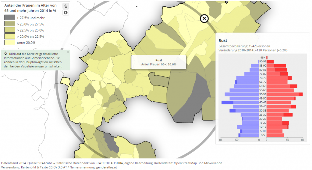
We are currently looking for someone who can bring experience with D3.js, JavaScript and SVG visualization to a project at at the research group cartography, TU Wien. The concrete task is to extend the genderATlas with new interactive maps and to contribute to the further development of the mapmap.js API and other components.

The project needs to be completed until mid-December and would be paid through a freelance consulting contract (“Werkvertrag”). There is a budget of ≈EUR 4.000 for an estimated workload of about a month (full-time), and a lot of room for bringing your personal interests and ideas to the project. If the project is successful, a longer-term employment in the course of 2017 may be possible.

Please not that this job requires basic knowledge of the German language in order to be able to follow discussions in meetings and working with the content! The nature of the project also requires you to be present in Vienna.

If you are interested, please send your CV and links to previous works and/or code by email to florian.ledermann@tuwien.ac.at until October 9 2016. If you have any questions, feel free to contact me directly.

Must haves:

  • Good Knowledge of JavaScript
  • Good Knowledge of HTML/CSS
  • Experience with D3.js
  • Basic Knowledge of SVG
  • Git/Github Basic Knowledge
  • An interest in “data driven journalism” and interactive maps
  • Feeling comfortable discussing issues of gender equality and feminism
  • Basic German skills!

Bonus:

  • Experience with Node.js and static site generators
  • Academic experience or interest

genderatlas

Participate in an indoor wayfinding experiment and get the chance to win Amazon vouchers

Our PhD student Wangshu Wang is looking for volunteers to participate in an indoor wayfinding experiment. The experiment will take place in two buildings (Albertina and TU Wien main building), each around 20 minutes.

Who can participate? You may be eligible to participate if you have never been to Albertina and are unfamiliar with TU Wien main building (Karlsplatz 13), and speak English and understand basic German.

Your benefits? Your benefits will be a free entry to Albertina and a small gift. In addition, all participants also have the chance to win one of three 20 € Amazon or Thalia vouchers.

If you are interested in participating, please find more information in the information sheet or contact Wangshu Wang.

Zwei offene Stellen in der Forschungsgruppe Kartographie

In der Forschungsgruppe Kartographie gibt es ab 1. Oktober 2016 zwei Univ.-Ass.-PräDoc-Stellen (25 Wochenstunden) zu besetzen. Beide Stellen sind befristet (bis 28. Februar 2019 bzw. 30. September 2020).

Erfordernisse: Abgeschlossenes Magister-, Diplom- oder Masterstudium der Fachrichtung Kartographie, Geoinformatik, Informatik mit Schwerpunkt Visualisierung, Geodäsie oder Geographie.

Sonstige Kenntnisse: ​Kartographische Informationssysteme, insbesondere Location-Based Services, kartographisches Design, Web Mapping, Visualisierungstechniken, sehr gute GIS- und Programmierkenntnisse (bevorzugt JavaScript und Python).

Bewerbungsfrist: 24. August 2016

Alle weiteren Details finden sich im TU Mitteilungsblatt.

Wir freuen uns auf Ihre Bewerbung!