Österreichische Beiträge bei der International Cartographic Exhibition in Tokio

Vom 15.–20. Juli 2019 fand in Tokio die 29. International Cartographic Conference (ICC) statt. In diesem Rahmen wurde auch wieder die International Cartographic Exhibition organisiert – eine Ausstellung für digitale und analoge Karten aus aller Welt. Dabei waren auch 17 Beiträge aus Österreich vertreten. Besonders erfreulich: Das Projekt Politics of Remembrance (POREM) erhielt den ersten Preis in der Kategorie Digital Product – wir gratulieren ganz herzlich!

Die österreichischen Beiträge in Tokio

Basierend auf dem Call for Maps wurden 17 österreichische Beiträge nach Tokio gesandt, darunter 12 Papierkarten, 3 digitale Kartenprodukte, ein Atlas und ein Produkt für den Unterricht (Educational Products).

Continue reading “Österreichische Beiträge bei der International Cartographic Exhibition in Tokio”

Great student maps from Project Map Creation, summer semester 2019

As in former semesters, we would like to showcase a selection of extraordinary student projects from this summer semester. The following maps are results from the class Project Map Creation.

La Isla del Coco by Jakob Listabarth
La Isla del Coco. A monochromatic exploration by Jakob Listabarth (png, 6.2mb)

SkiWelt Wilder Kaiser Brixental - Orientation and Navigation Map by Jenny Janssen
SkiWelt Wilder Kaiser Brixental. An orientation and navigation map by Jenny Janssen (jpg, 3.3mb)

Churches on Gotlandsleden by Verena Klasen
Around Medieval Churches on Gotlandsleden by Verena Klasen (jpg, 2.1mb)

Ocean Plastic. A relief light map by Nikita Slavin
Ocean Plastic. A relief light map by Nikita Slavin (jpg, 3.3mb)

The Polar Fanzine by Danai Maria Kontou
The Polar Fanzine by Danai Maria Kontou (jpg, 2.6mb)

The Return of the European Beaver by Jonas Beinder
The Return of the European Beaver by Jonas Beinder (jpg, 2.2mb)

Sagenhafte Wachau - Eine Karte zum Ausmalen und Entdecken by Sophie Haselsteiner
Sagenhafte Wachau. Eine Karte zum Ausmalen und Entdecken by Sophie Haselsteiner (jpg, 2.0mb)

Kazakh Khanate (1465-1847) by Bibigul Zhunis
Kazakh Khanate (1465–1847) by Bibigul Zhunis (jpg, 4.9mb)

A huge thank you to all students for their hard work in this busy summer semester. Enjoy the summer!

Results from earlier semesters can be found here:
2018 | 2017 | 2016 | 2015 | summer 2014 | winter 2014 | 2013 | 2012

Recent publications on Location Based Services

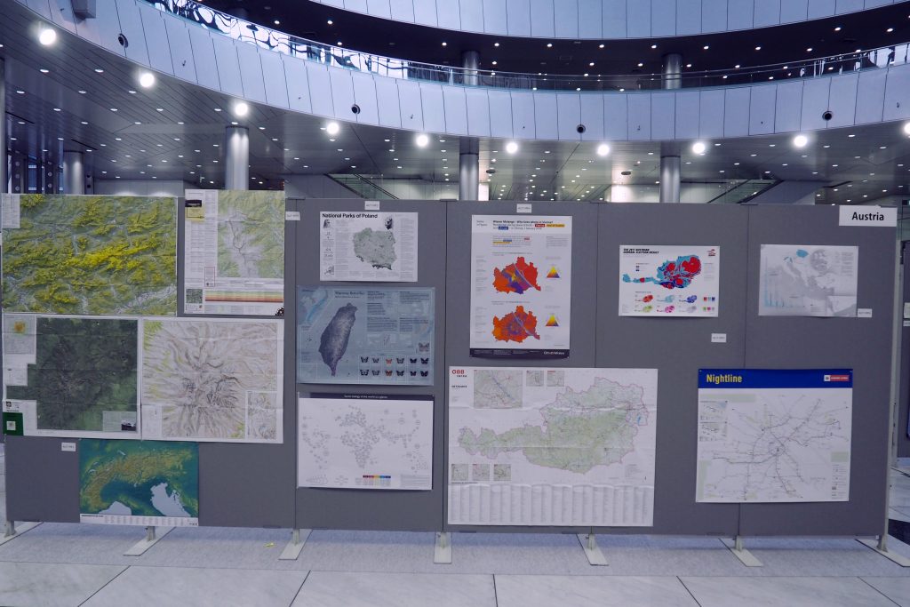
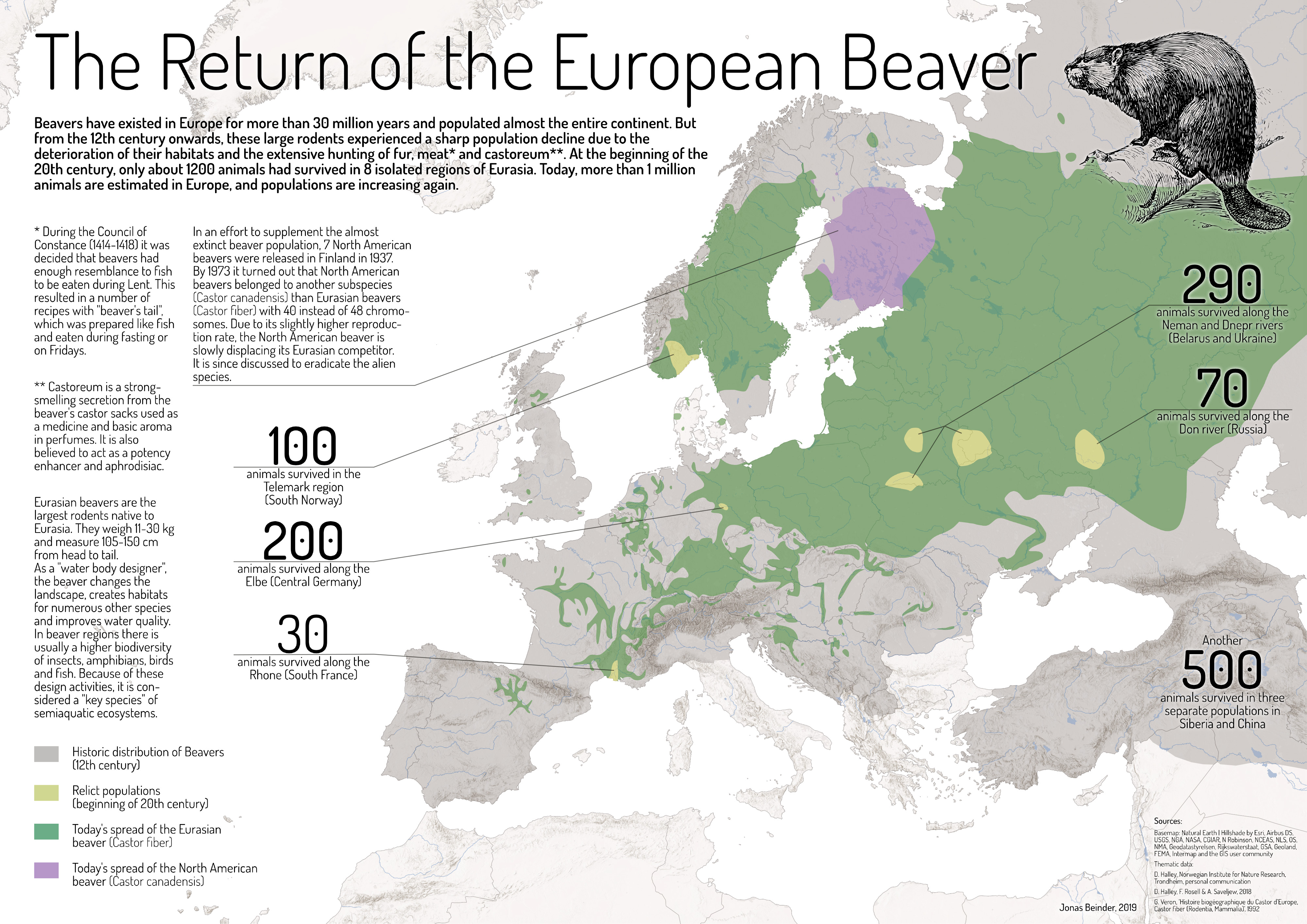
Location Based Services are a main research focus of the Research Division Cartography as our recent publications in the field show:

User-centred design for smartwatch-based pedestrian navigation

The characteristics of a smartwatch impose several challenges regardig the design of a pedestrian navigation aid. This paper illustrates how landmark-based pedestrian navigation systems for smartwatches can be developed, considering the small screen sizes as well as the very limited interaction capacities of these wrist-worn devices. Particularly, by the use of a user-centred design approach, an initial user interface was developed, tested, and refined in two field experiments to create a final user interface. A combination of map view and direction view was proposed, where the map view provides an overview of the environment and route, while the direction view gives clear instructions (turning information) for decision points. The interface was further enhanced by the use of vibrations before decision points. In addition, landmarks were carefully considered and incorporated into both map view and direction view. The field experiments showed that these key features of the revised interface can effectively support pedestrian navigation via smartwatches.

from: Applying user-centred design for smartwatch-based pedestrian navigation system. Martin Perebner, Haosheng Huang & Georg Gartner, Journal of Location Based Services, DOI: 10.1080/17489725.2019.1610582

A research agenda for Location based services

We are now living in a mobile information era, which is fundamentally changing science and society. Location Based Services (LBS), which deliver information depending on the location of the (mobile) device and user, play a key role in this mobile information era. This article first reviews the ongoing evolution and research trends of the scientific field of LBS in the past years. To motivate further LBS research and stimulate collective efforts, this article then presents a series of key research challenges that are essential to advance the development of LBS, setting a research agenda for LBS to ‘positively’ shape the future of our mobile information society. These research challenges cover issues related to the core of LBS development (e.g. positioning, modelling, and communication), evaluation, and analysis of LBS-generated data, as well as social, ethical, and behavioural issues that rise as LBS enter into people’s daily lives.

from: Location based services: ongoing evolution and research agenda. Haosheng Huang, Georg Gartner, Jukka M. Krisp, Martin Raubal & Nico Van de Weghe, Journal of Location Based Services, 12:2, 63-93, DOI: 10.1080/17489725.2018.1508763
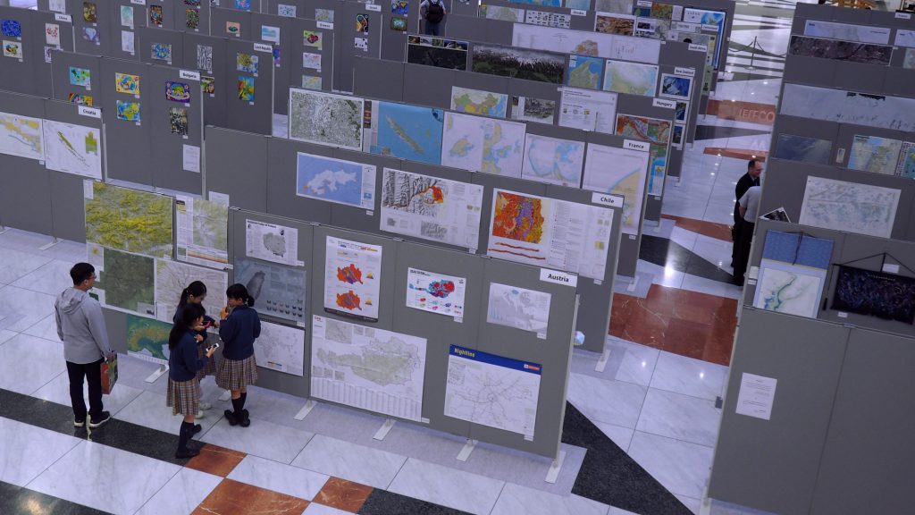
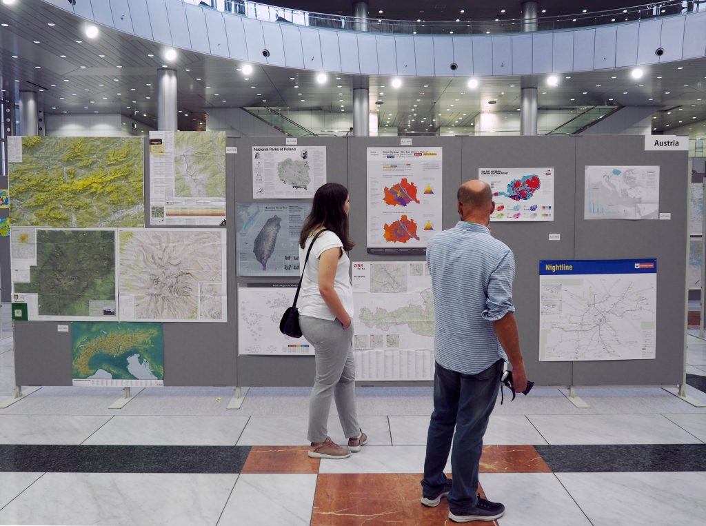
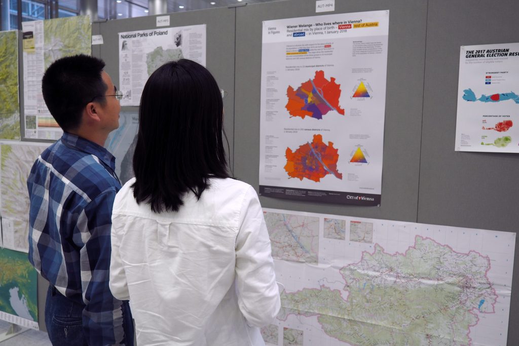
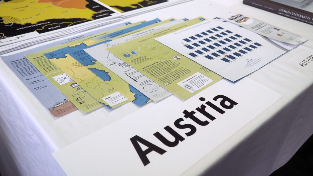
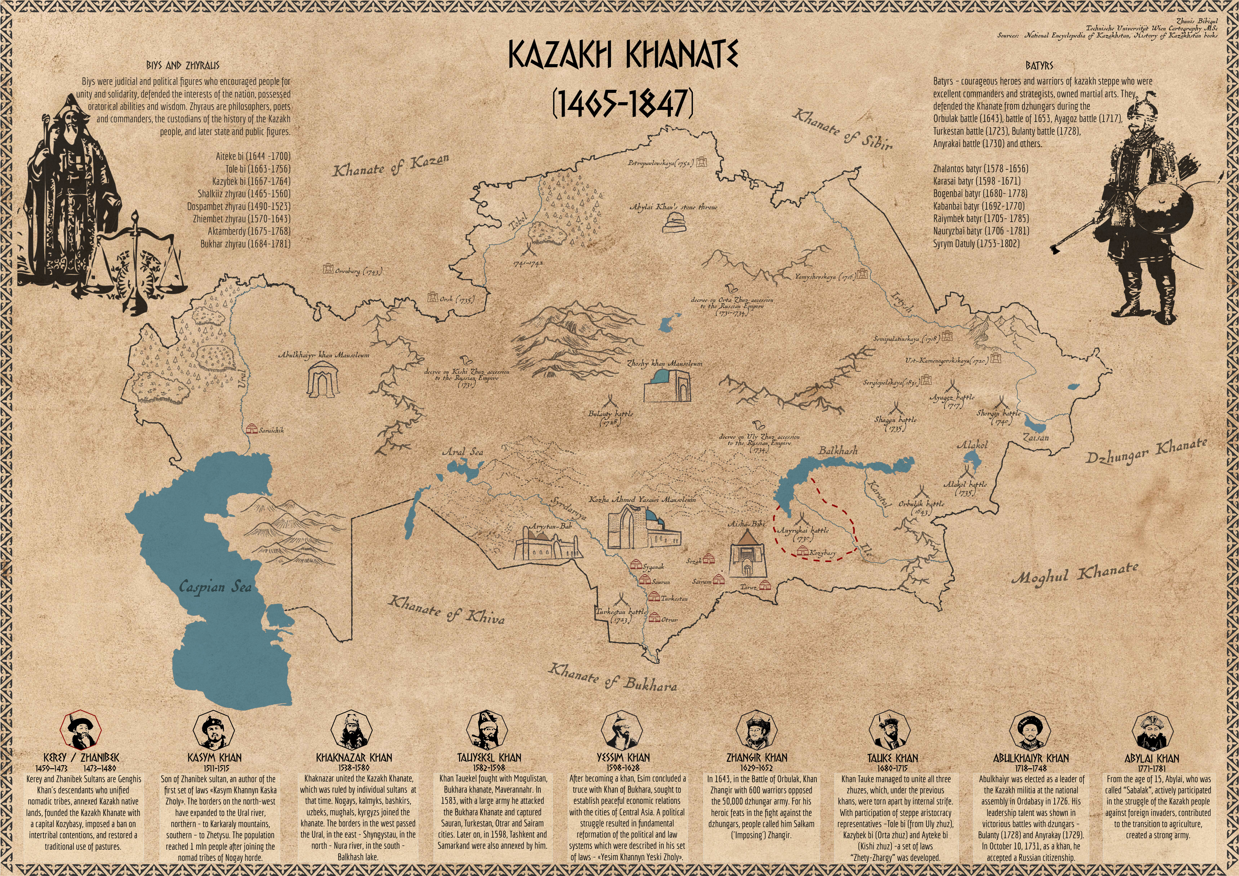
Why Shape Matters ‒ Paper by Silvia Klettner published in the ISPRS International Journal of Geo-Information

Silvia Klettner’s work on inherent qualities of geometric shapes for cartographic representations was successfully published in the ISPRS International Journal of Geo-Information 2019, 8(5), 217 in the Special Issue on Human-Centered Geovisual Analytics and Visuospatial Display Design:

All human communication involves the use of signs. By following a mutually shared set of signs and rules, meaning can be conveyed from one entity to another. Cartographic semiology provides such a theoretical framework, suggesting how to apply visual variables with respect to thematic content. However, semiotics does not address how the choice and composition of such visual variables may lead to different connotations, interpretations, or judgments. The research herein aimed to identify perceived similarities between geometric shape symbols as well as strategies and processes underlying these similarity judgments. Based on a user study with 38 participants, the (dis)similarities of a set of 12 basic geometric shapes (e.g., circle, triangle, square) were examined. Findings from cluster analysis revealed a three-cluster configuration, while multidimensional scaling further quantified the proximities between the geometric shapes in a two-dimensional space. Qualitative and quantitative content analyses identified four strategies underlying the participants’ similarity judgments, namely visual, affective, associative, and behavioral strategies. With the findings combined, this research provides a differentiated perspective on shape proximities, cognitive relations, and the processes involved.

View full paper here.

International Master of Cartography students at Otto Neurath exhibition

Together with our students of the International Master of Cartography, we visited the Otto Neurath exhibition “Sprechende Zeichen at the Wirtschaftsmuseum in Vienna. The exhibition is dedicated to Otto Neurath, founder of the Society and Economic Museum. Otto Neurath developed new graphics techniques during the First World War. He was a member of the philosophical Wiener Kreis and developed the Viennese method of image statistics to present statistics in an easily understandable, visual form.

Students from the Cartography Master meet students from Iowa State University

Thanks to Alenka Poplin and her students from Iowa State University for visiting our Research Division during spring break! Together with our students from the International Cartography Master program, they were introduced to the research field of emotion mapping and jointly conducted interviews in which they explored how Vienna is perceived by its inhabitants and where people find restorative places in the city.

Cartography Master students and students from Iowa State University

Thanks to our guest lecturers!

This week we had the pleasure to welcome three prominent guests who shared their expertise with our students:

  • Prof. Philippe de Maeyer: lecture on Cartographic Semiology
  • Prof. William Cartwright: lecture on Cartography and Emotions
  • Dr. Kenneth Field: lecture on Design and Cartography
Georg Gartner and Kenneth Field

In his guest lecture, Kenneth Field shared his journey of making the book “Cartography.” On this occasion, he handed over a hard-cover copy of his book for our library. Thanks!

Guest lecturer Benjamin Hennig on Cartograms

We are thankful for the guest lectures and practical sessions on Cartograms from Benjamin Hennig, Associate Professor of Geography at the Faculty of Life and Environmental Sciences of the University of Iceland and a honorary research associate at the University of Oxford.

In his research, Benjamin Hennig focuses on social inequalities, humanity’s impact on Earth, global sustainability and the development of concepts for analysing, visualising and mapping these issues.