We are happy to host a CartoTalk by Prof. Maria A Brovelli, Professor of “GIS” and “The Copernicus Green Revolution for sustainable development” at Politecnico di Milano (PoliMI). She will be presenting the Insubri.parks project and the GeoCollectorBot.
Tuesday, 17.01. 2023, 10:00-11:00
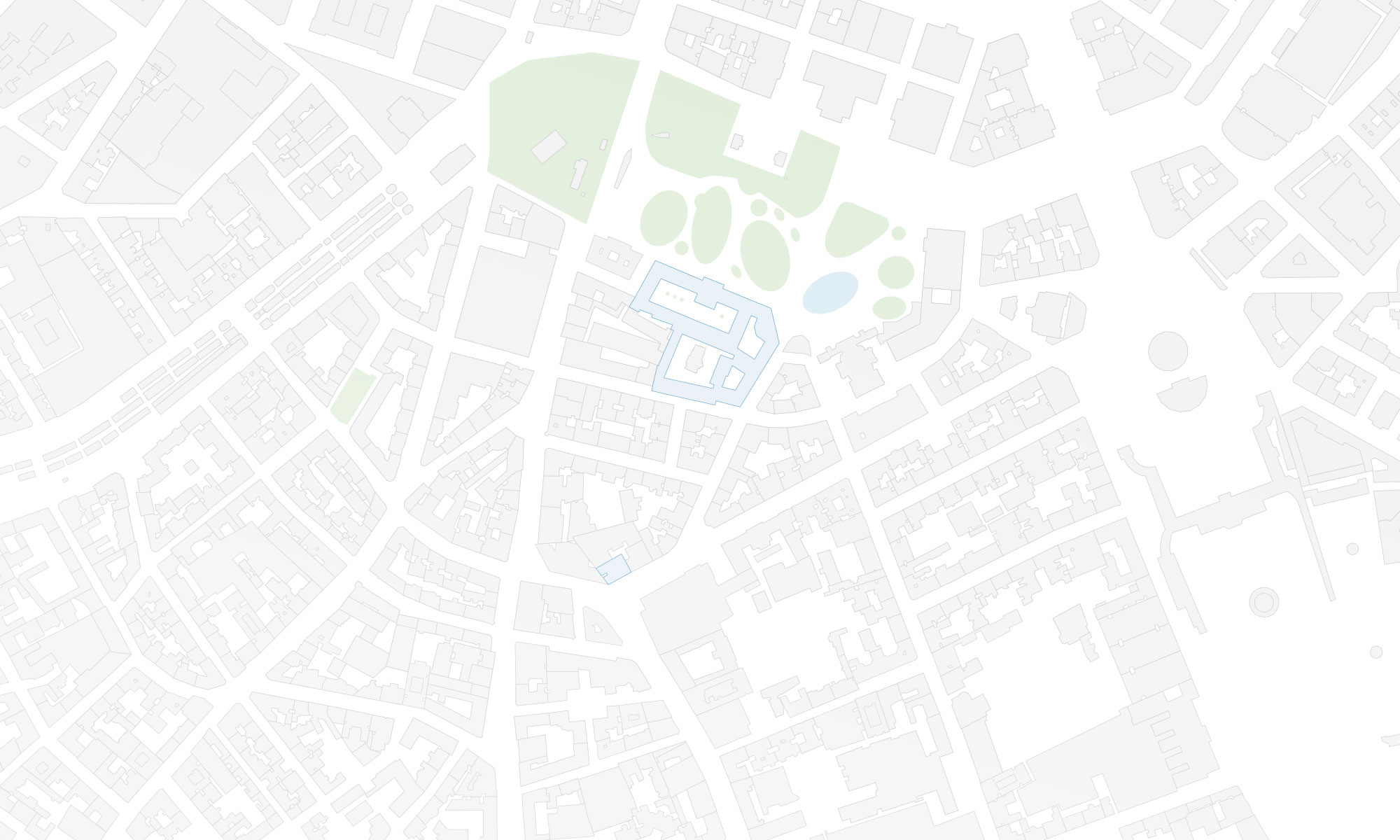
Seminarroom 126, Erzherzog-Johann-Platz 1/120-6, 1040 Wien

Abstract:
Green areas such as natural and peri-urban parks provide support to biodiversity and landscape preservation while boosting local economic growth in their hosting territories, thanks to the establishment of eco-tourism activities. Smart management and promotion actions are vital for the sustainable exploitation of such benefits for citizens and visitors. These tasks may be hindered by a lack of economic resources and digital skills of public authorities but also by fragmented local political contexts to which these areas may be subjected. The parks in the Insubria region (between Southern Switzerland and Northern Italy) represent a relevant example of the above.
[expand title=”Read more ..”]
The INSUBRIPARKS project aims at the harmonisation of management and promotion practices for the Insubria parks. The project activities encompass multiple actions, from the establishment of unified territorial marketing strategies to the development of supporting IT tools. Accordingly, the seminar provides an overview of the IT tools ecosystem which was designed and developed within the project and an outlook on its role in empowering smart monitoring and promotion for these parks. Tools include a Web portal (enriched with Web mapping components) for a unified presentation of the tourism offers, an analysis framework for social media data exploitation in park visitors’ fluxes assessment, and a mobile tool for users’ engagement in the park areas monitoring. The mobile app GeoCollectorBot will be presented in detail and will be used in the training.
[/expand]
Maria Antonia Brovelli is a Professor of “GIS” and “The Copernicus Green Revolution for sustainable development” at Politecnico di Milano (PoliMI) and a member of the School of Doctoral Studies in Data Science at “Roma La Sapienza” University.
[expand title=”Read more ..”]
From 2006 to 2011 she lectured GIS at the ETH of Zurich and from 1997 to 2011 she was the Head of the Geomatics Laboratory of PoliMI (Campus Como). From 2011 to 2016 she was the Vice-Rector of PoliMI for the Como Campus. Currently she is the coordinator of the Copernicus Academy Network for the PoliMI and the Head of the GEOLab, the Interdepartmental Lab where 7 Departments of POLIMI are contributing
She is Vice President of the ISPRS Technical Commission on Spatial Information Science, former member of ESA ACEO (Advisory Committee of Earth Observation); co-chair of the United Nations Open GIS Initiative, chair of the UN-GGIM (Global Geospatial Information Management) Academic Network, mentor of the PoliMI Chapter of YouthMappers (PoliMappers), one of the three curators of the geospatial series of the AI for Good, organized by ITU in partnership with 40 UN Sister Agencies.
Her research activity is in the field of geomatics. Her interests have been various, starting from geodesy, radar-altimetry and moving later to GIS, webGIS, geospatial web platform, VGI, Citizen Science, Big Geo Data, geoAI. She is participating and leading research on these topics within the frameworks of both national and international projects and scientific networks. One of her main interests is in Open-Source GIS, where she is playing a worldwide leading role.
[/expand]

