Why Shape Matters ‒ Paper by Silvia Klettner published in the ISPRS International Journal of Geo-Information

Silvia Klettner’s work on inherent qualities of geometric shapes for cartographic representations was successfully published in the ISPRS International Journal of Geo-Information 2019, 8(5), 217 in the Special Issue on Human-Centered Geovisual Analytics and Visuospatial Display Design:

All human communication involves the use of signs. By following a mutually shared set of signs and rules, meaning can be conveyed from one entity to another. Cartographic semiology provides such a theoretical framework, suggesting how to apply visual variables with respect to thematic content. However, semiotics does not address how the choice and composition of such visual variables may lead to different connotations, interpretations, or judgments. The research herein aimed to identify perceived similarities between geometric shape symbols as well as strategies and processes underlying these similarity judgments. Based on a user study with 38 participants, the (dis)similarities of a set of 12 basic geometric shapes (e.g., circle, triangle, square) were examined. Findings from cluster analysis revealed a three-cluster configuration, while multidimensional scaling further quantified the proximities between the geometric shapes in a two-dimensional space. Qualitative and quantitative content analyses identified four strategies underlying the participants’ similarity judgments, namely visual, affective, associative, and behavioral strategies. With the findings combined, this research provides a differentiated perspective on shape proximities, cognitive relations, and the processes involved.
View full paper here.

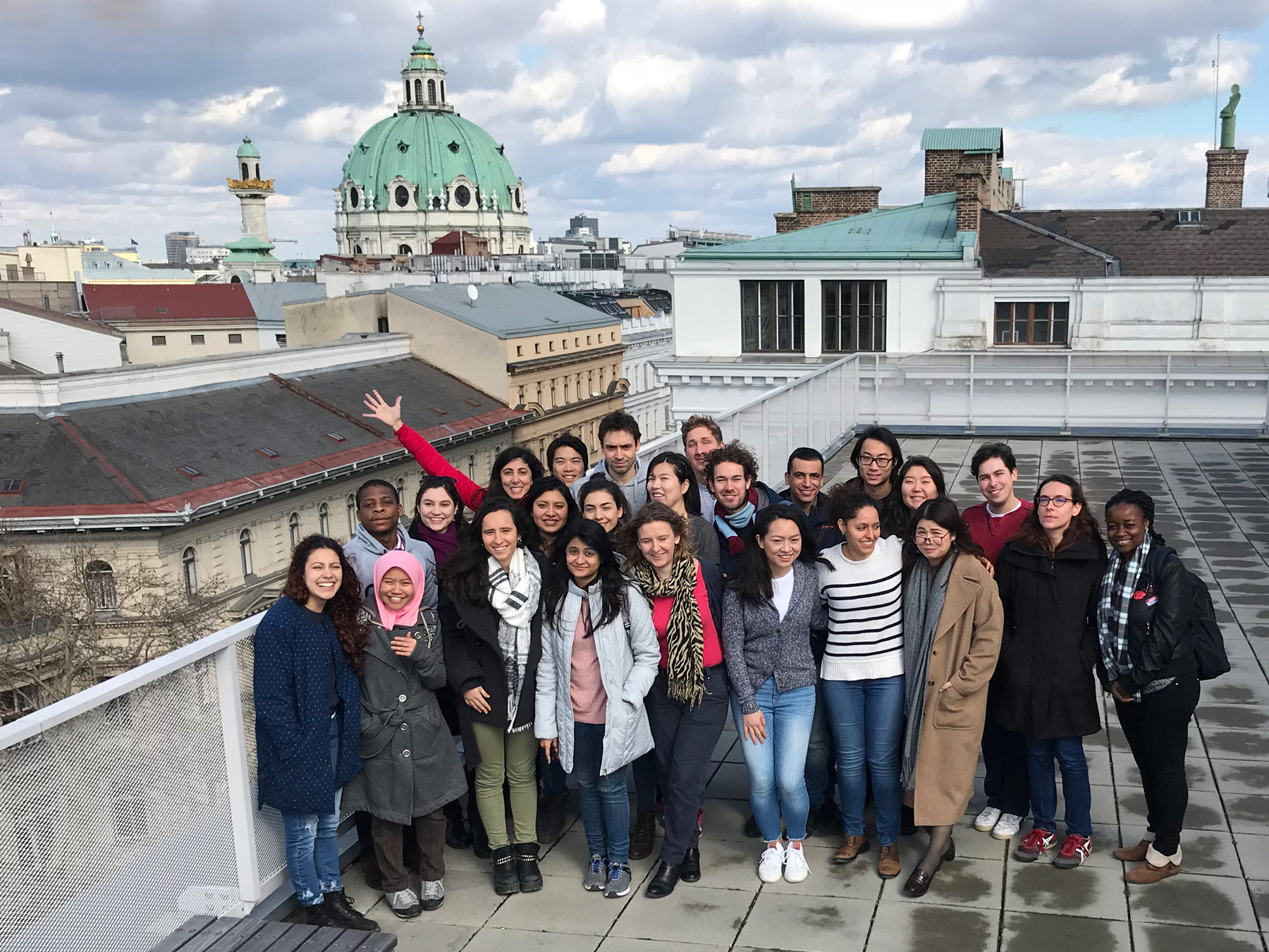
Welcome to Vienna to the 8th intake of the International Master in Cartography

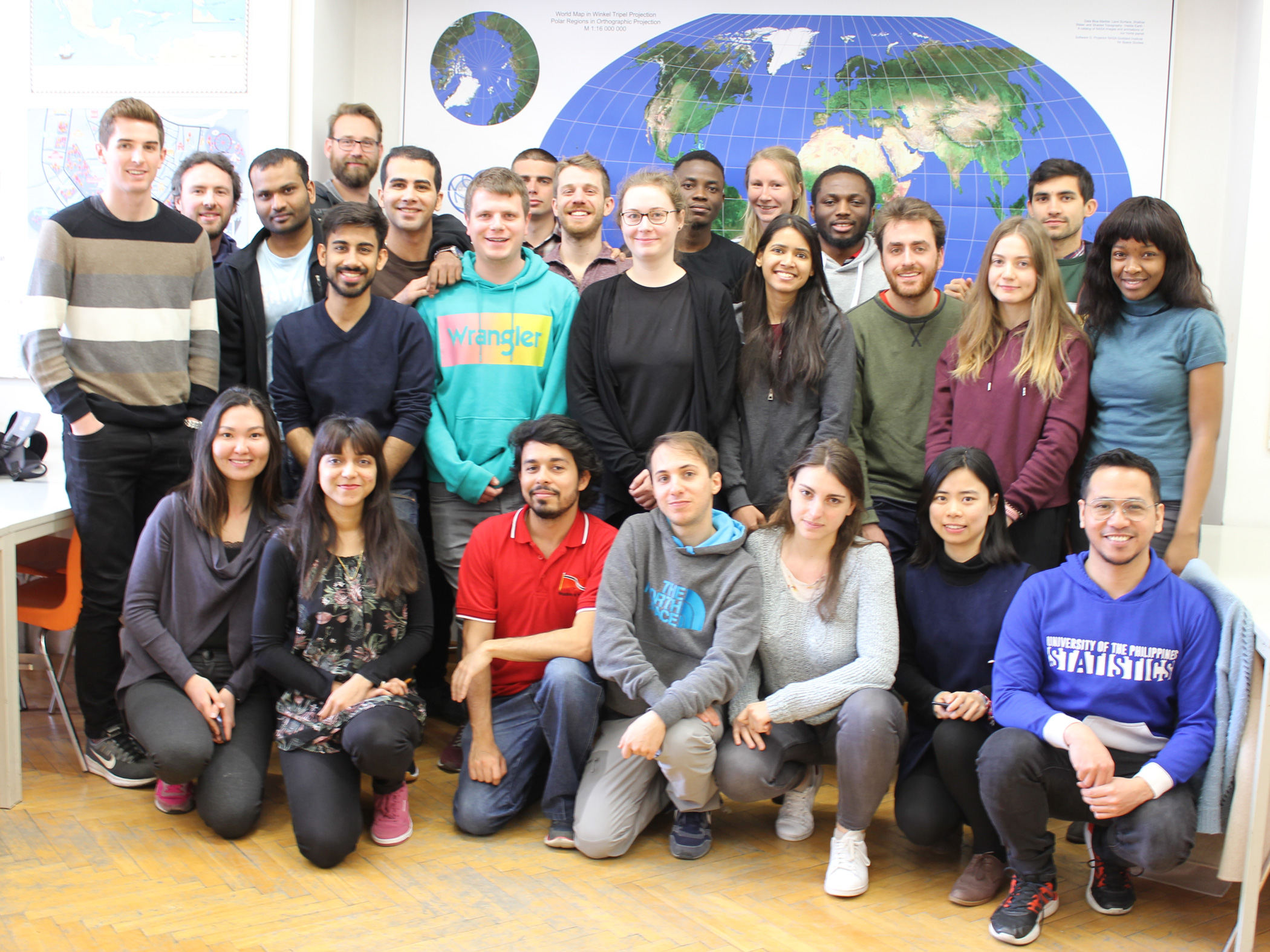
We are happy to welcome 30 students of the International Master in Cartography at TU Vienna for the summer semester 2019. This intake’s students come from 19 countries: Bangladesh, China, Colombia, France, Germany, Greece, India, Iran, Italy, Kazakhstan, Nigeria, Pakistan, Philippines, Russia, Trinidad and Tobago, UK, Ukraine, USA and Zimbabwe.

After finishing their first semester at TU München, the students are now with us for their second semester, before they move to TU Dresden. We are really happy to have them here and wish them a fun & successful semester!

To find out more about the International Master in Cartography, please visit cartographymaster.eu.

Invitation to the 15th International Conference on Location Based Services

We are very pleased to invite you to the 15th International Conference on Location Based Services (LBS 2019), which is organized by our Research Division on November 11–13, 2019.

Built on the success of previous conferences in this series, LBS 2019 is addressed to scholars, researchers, digital industry / market operators, and students of different backgrounds (scientific, engineering and humanistic) whose work is either focused on or relevant to location based services (LBS). The conference will offer a common ground to colleagues from various disciplines and practice where they can meet, interact and exchange knowledge, experience, plans and ideas on how LBS can and could be improved and on how it will influence both science and society.

The Call for Papers is currently open. Deadlines for submission are June 1 for full papers, July 15 for work in progress, and September 18 for showcases. The best accepted full and work-in-progress papers will be invited to submit an extended version to the Journal of Location Based Services by Taylor & Francis.

More information can be found at lbsconference.org

Call for Maps: Einladung zur Einreichung von Beiträgen zur International Cartographic Exhibition

Vom 15.–20. Juli 2019 findet in Tokio, Japan, die 29. International Cartographic Conference (ICC) statt. In diesem Rahmen wird auch wieder die International Cartographic Exhibition organisiert – eine Ausstellung für digitale und analoge Karten aus aller Welt.  Bis 30. April 12. Februar haben Sie die Möglichkeit, österreichische Beiträge für die Ausstellung zu nominieren! 

Warum teilnehmen?

  • Sichtbarkeit Ihres Produkts bei über 1.500 Kartographie- und GIS-ExpertInnen aus aller Welt bei der International Cartographic Conference (ICC 2019)
  • Listung im online verfügbaren Ausstellungskatalog
  • Chance, einen ICA Map Award zu gewinnen. ICA Map Awards eignen sich hervorragend als Marketinginstrument. Die ausgezeichneten Beiträge werden im Anschluss außerdem als Map of the Month auf der ICA-Website gefeatured und erreichen auf diese Weise eine hohe Sichtbarkeit.

Alle Infos zur Nominierung finden Sie unter sites.google.com/view/callformaps-2019.

Ansprechpartnerin für die österreichischen Beiträge bei der ICC-Kartenausstellung ist Manuela Schmidt.

This Is Not an Atlas ‒ eine globale Sammlung widerständiger Karten

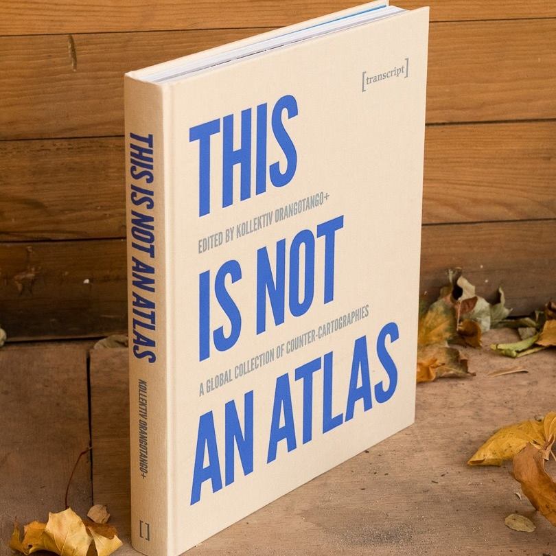
Über vier Jahre hat kollektiv orangotango sogenannte counter-cartographies – widerständige Kartierungen – aus der ganzen Welt zusammengetragen. Die Sammlung zeigt, wie kritische Karten gemacht und genutzt werden – als Teil von politischen Kämpfen, kritischer Wissenschaft, Kunst und Bildungsarbeit. Der kürzlich im Transcript-Verlag erschienene Atlas enthält auch einen Beitrag von Florian Ledermann zu einer Karte aus dem genderATlas.

Continue reading “This Is Not an Atlas ‒ eine globale Sammlung widerständiger Karten”

Great student maps from Project Map Creation, summer semester 2018

As in former semesters, we would like to showcase a selection of extraordinary student projects from this summer semester. The following maps are results from the class Project Map Creation.

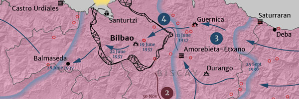
Spanish Civil War in the Basque Country by Iñigo Etxeandia Rodriguez
Spanish Civil War in the Basque Country by Iñigo Etxeandia Rodriguez (jpg, 2.2mb)

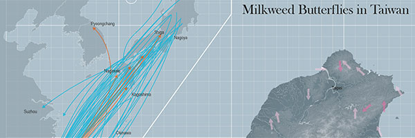
Butterflies in Taiwan by Yuan Pei-Lun
Butterflies in Taiwan by Yuan Pei-Lun (jpg, 1,7mb)

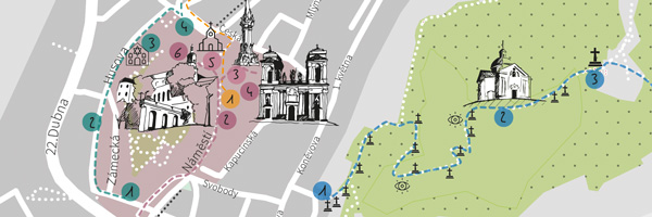
Go for Mikulov by Jarmila Fucikova
Go for Mikulov by Jarmila Fucikova (front | back, jpg, 2.0mb)

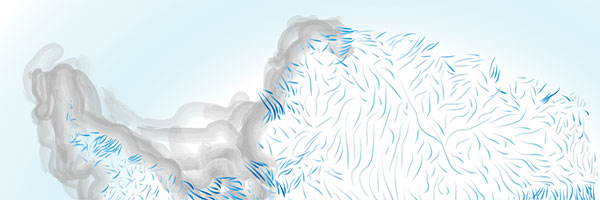
Moving Ice? by Mengyu Liang
Moving Ice? by Mengyu Liang (jpg, 1mb)

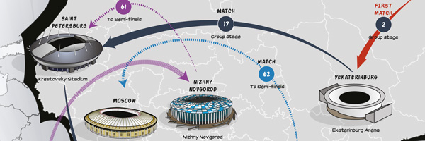
Road to final by Mohamed Ibrahim
Road to final by Mohamed Ibrahim (jpg, 2.2mb)

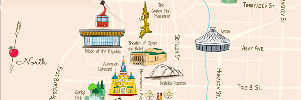
Almaty – City of Apples by Kikkarina Altynay
Almaty – City of Apples by Kikkarina Altynay (jpg, 1.1mb)

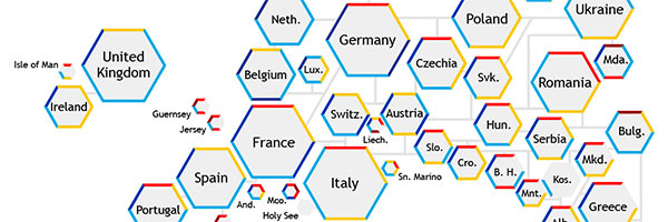
Hexagonal World Map by Mariana Vallejo Velazquez
Hexagonal World Map by Mariana Vallejo Velazquez (jpg, 1.3mb)

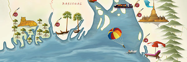
Pictorial Map of Bangladesh by Nuzhat Tabasum Nawshin
Pictorial Map of Bangladesh by Nuzhat Tabasum Nawshin (jpg, 1.9mb)

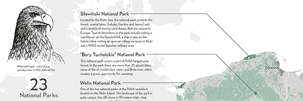
National Parks of Poland by Agnieszka Mank
National Parks of Poland by Agnieszka Mank (jpg, 3mb)

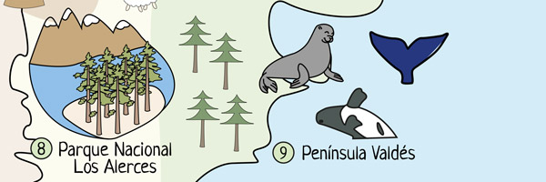
Argentina's World Heritage by Zarina Acero
Argentina’s World Heritage by Zarina Acero (jpg, 1.3mb)

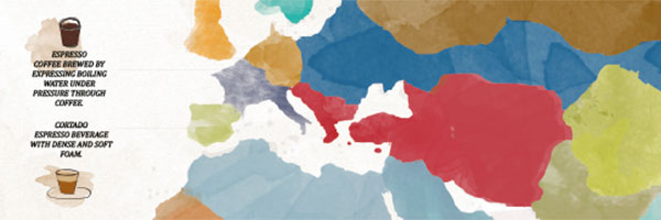
World Map of Coffee by Elifcan Ozyildirim
World Map of Coffee by Elifcan Ozyildirim (jpg, 2.5mb)

Results from other classes might be added later.

A huge thank you to all students for their hard work in this busy summer semester. Enjoy the summer!
Results from earlier semesters can be found here:
2017 | 2016 | 2015 | summer 2014 | winter 2014 | 2013 | 2012

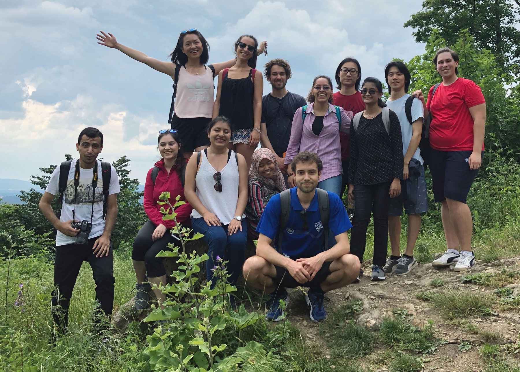
Hike to Hermannskogel with students of the International Master of Cartography

On June 16, students of the International Master of Cartography were invited on a hike to Hermannskogel. The hill is not only the highest peak of Vienna but also a geodetic fundamental point. The small exhibition at Habsburgwarte gave some insights into its history as the kilometre zero of cartographic measurements in Austria-Hungary.

Continue reading “Hike to Hermannskogel with students of the International Master of Cartography”

Welcome to the 7th intake of the International Master in Cartography

We are happy to welcome 24 students of the International Master in Cartography at TU Vienna for the summer semester 2018. This intake’s students come from 20 countries: Argentina, Bangladesh, China, Ecuador, Egypt, Germany, Ghana, Greece, Kenia, Kzakhstan, Lebanon, Malaysia, Mexico, Netherlands, Poland, Serbia, Spain, Taiwan, Turkey and the USA.

After finishing their first semester at TU München, the students are now with us for their second semester, before they move to TU Dresden. We are really happy to have them here and wish them a fun & successful semester!

To find out more about the International Master in Cartography, please visit cartographymaster.eu.

TU Wien as UN-GGIM Academic Network Member

The Vienna University of Technology through Prof Georg Gartner was accepted as member of the Academic Network of the United Nations Committee on Experts of Global Geospatial Information Management (UN-GGIM).

UN-GGIM sets the agenda for the development of global geospatial information and promotes its use to address key global challenges. The role of the Academic Network is to support the aims and objectives of the United Nations Committee of Experts on Global Geospatial Information Management.