Internationaler Master in Kartographie erhält erneut begehrte Erasmus-Mundus-Förderung

Die Exekutivagentur Bildung, Audiovisuelles und Kultur der Europäischen Kommission (EACEA) fördert durch ihr Programm Erasmus+ Studierenden-Mobilität im Rahmen von Joint Master Degrees. Das an der TU Wien eingerichtete Masterstudium Kartographie konnte bereits in der Förderrunde 2014 diese begehrte Förderung für drei Jahre erringen. Es ist umso erfreulicher, dass dies in der aktuellen Runde erneut gelungen ist und die Kartographie unter den 38 erfolgreichen Programmen ist (bei 116 Anträgen). Das frei.haus der TU Wien berichtet dazu.

Nähere Informationen zum Studium finden sich auf der neuen Programm-Website cartographymaster.eu

Bachelor thesis presentations

Congratulations to our students who just presented their bachelor theses successfully:

  • Kathrin Theil discussed “Möglichkeiten der Implementierung von Weltkarten für einfache thematische Anwendungen im Web”.
  • Alina Florian shared her findings on “Wahrnehmung von Farbe in Orientierungslaufkarten” .

Well done and best wishes for your future careers!

Thanks to our students for your feedback!

Every semester students are given the opportunity to anonymously evaluate their classes. A big thanks to all our students who shared their feedback on our classes held in summer term 2017!

Student feedback for Cartographic Information Systems:

Very considerate lecturers according to problems in the exercise and questions in the lecture. Very useful topics!

Student feedback for Thematic Cartography in Regional Planning:

Für mich eine der besten und interessantesten übungen bisher. Die übungen waren gut beschrieben und verständlich. Die dafür aufgebrachte zeit war angemessen. Man hat einiges mitnehmen können, was für zukünftige kartengestaltungen/kartenerstellungen von nutzen sein wird. Eine der wenigen übungen auf die man sich gefreut hat.

Student feedback for Web Mapping:

Extremely satisfied.

Student feedback for Programming Cartographic Tasks (winner of TU’s Best Lecture Award 2017):

Gut aufgebaute Vorlesung mit den Unterlagen die immer auf dem aktuellen Stand online zur Verfügung standen. Die Bereitstellung des Codes der Beispiele aus der Vorlseung war ein guter Service und Impulsgeber für die Druchfürhung der Programmierbeispiele. Das optionale Angebot des JavaScript Kurs und die Motivation des Vortragenenden auf jede Frage sofort – auch außerhalb der Vorlesungszeit – mit der Antwort zu dienen ist sehr hervorzuheben.

Student feedback for Location Based Services:

The combination of lectures and project turned out to be a very good combination in and motivating for exploring the topic.

Student feedback for Applied Cartography:

Die ohnehin schon sehr spannenden Inhalte wurden sehr anschaulich und verständlich an die StudentInnen übermittelt. Zudem boten die Vorlesungseinheiten eine gute Vorbereitung für die zu absolvierenden Übungsaufgaben.

Georg Gartner on air – talking about latest trends in cartography

The Austrian national radio station Ö1 invited Georg Gartner to discuss the latest trends in modern cartography. Listen to the interview at Punkt eins.

“Ohne Karten wären wir räumlich blind”, sagt der Kartograph und Geograph Georg Gartner. “Karten sind ein elementares Mittel der Kommunikation für Menschen, denn alles findet irgendwo statt, hat sozusagen einen Ortsbezug”.


Farewell to the sixth intake of the International Master in Cartography

The sixth intake of the International Master Programme in Cartography has finished the “Vienna Semester” and is now heading to TU Dresden for the third semester. We organized a farewell session to review the semester and to showcase results of their hard work in this semester. 

IMG_4574  IMG_4560  IMG_4564 IMG_4601  IMG_4596  IMG_4576  IMG_4614  IMG_4549  IMG_4613

We wish them all the best!

To find out more about the International Master in Cartography, please visit cartographymaster.eu.

TUW’s “Best Lecture Award 2017” goes to Florian Ledermann


This summer term, TUW awarded the „Best Teaching Awards“ for the first time to acknowledge teaching staff for outstanding committment in university teaching. Students and members of TUW nominated lecturers and lectures that were particularly outstanding.

We are very proud to announce our staff member Florian Ledermann as winner of the faculty’s “Best Lecture Award 2017”! His lecture “Webmapping” distinguished as outstanding by its students based on the knowledge the students received, the didactic set-up of the class, and the particularly convincing lecturer.

Florian Ledermann - Best Lecture Award Winner 2017

Congratulations Flo to this well-deserved acknowledgment!


Orienteering event for students

On Friday 9 June the Research Group Cartography hosted an orienteering event at Karlsplatz. Orienteering requires navigational skills to navigate from point to point whilst moving at speed. Our participants were given a specially prepared orienteering map which they used to find 17 control points. In total, 104 national and international students from Cartography, Geodesy, and Urban Plannung joint the event along a 2.1 km course.

Find your result here! Congratulations to the three best orienteerers:

  1. Brandstätter Max:  16:50
  2. Falkenstein Antonia: 17:26
  3. Oberroither Alexander: 18:50

collage

A big thanks to the organizing team and to all the students for making the event so enjoyable and fun!

CartoTalk Alenka Poplin: Empirical Experiments on Power Places: Mapping Places and Expressed Emotions

We are happy to announce a CartoTalk on Tuesday, 13 June 2017, by Alenka Poplin from Iowa State University.

Abstract: The main goal of this presentation is to explore the concept of place and the emotions felt at specific places. The places chosen for this research are power places (Kraftorte in German language), which can be defined as places in which people recharge and feel at peace, places that evoke positive feelings. Where in the city are such places? How do people/citizens describe these places? Which emotions do they experience at these places, which words do they use to describe the emotions felt at these places, and how can these emotions be represented on a map?

Our research is based on a set of mapping experiments conducted in the cities of Hamburg, Germany and Ames, Iowa. We asked people to map their power places, describe their characteristics and the feelings they feel at these places. In Hamburg we collected 191 power places, the descriptions of their physical characteristics and emotions associated with these places. We compare this European experience with data collected in a university town in the North America. The experiments were conducted with paper maps and an online volunteered geographic information (VGI) platform Maptionnaire.

The presentation addresses the issues of uncertainty; uncertainty of the location, shape of the places, and expressed emotions. It also discusses research challenges of mapping places and emotions, the need for a place-based GIS and mapping other intangible landscapes.

CartoTalk_AlenkaPoplin

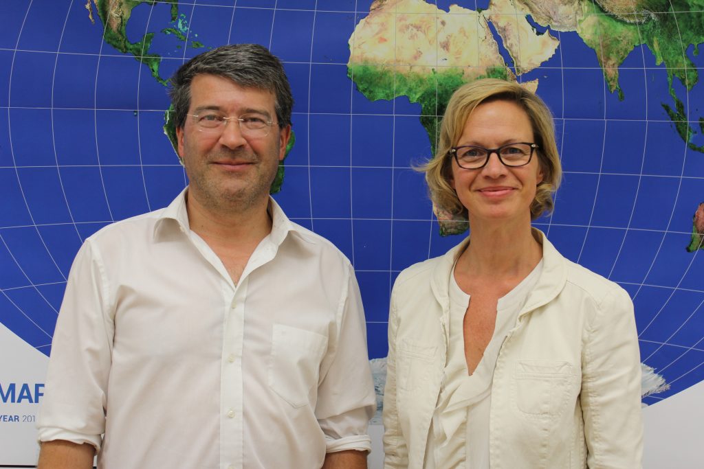
Alenka Poplin is Assistant Professor at Iowa State University at the Department of Community and Regional Planning. Alenka studied Surveying and Spatial Planning at Technical University of Ljubljana before she finished her PhD  in Geoinformation Science at the Institute for Geoinformation and Cartography at Vienna University of Technology. Her research focuses on GeoGames for urban planning, serious games for civic engagement, user experience with interactive maps, GeoVisualization, Smart and Happy Cites, and Smart Communities & Big Data.

Tuesday, 13 June 2017, 16:30
Research Group Cartography
Seminar room 126

A cartographic field trip to Mürzzuschlag

Last week, the Research Group Cartography took the opportunity to visit the exhibition “Unschärfen und weiße Flecken – Kartografische Annäherung an urbane Räume” at Kunsthaus Mürz in Styria – open until 11 June 2017.

exhibition_grouped

The exhibition focuses on cartography as a critical method for presenting spatial experience and communication:

“Maps describe and represent parts of the space around us, they tell stories about the world. Each map is based on the fact that parts of reality are omitted, distorted or alienated. This produces blurring or white spots – which in turn open up space for imagination and appropriation.” (translated from Kunsthaus Mürz)

The group also went on a hike to the Mürztaler mountains, to Scheibenhütte at 1473m altitude.

Hike_gouped

Photos courtesy of Markus Jobst, thx!