We are happy to announce a CartoTalk by Anthony C. Robinson from Pennsylvania State University, on Tuesday, 16 May 2017.
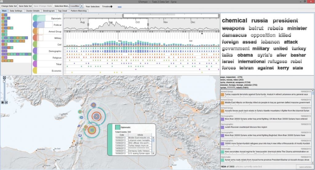
Abstract: The reach and impact of cartography is more impressive than ever. Big spatial data sources, new map interaction paradigms, and scalable computing are combining to place mapping at the center of solutions to major human and environmental problems. While our discipline benefits from a tremendously rich history of scientific advances in understanding how people can make, use, and interpret maps, new gaps in our knowledge are emerging. These new frontiers are forming as a result of the torrent of data we are receiving, higher expectations from broader audiences of users, and problem contexts that are dynamic and will never have simple solutions. It is in this context that members of the International Cartographic Association (ICA) have been collaborating to develop a new research agenda for cartography in the era of big data. In this talk I will show examples of the challenges we are facing, identifying broad challenges that will require long-term research engagement as well as shorter-term opportunities that can be tackled right away. Two key themes that cut across these challenges are the need to address both the artistic as well as scientific aspects of Cartography, and to ground our work in problem contexts that truly matter to the well-being of people and our planet. Put simply, we have the opportunity to center our research on the goal of making maps that matter – an aim that can concentrate our efforts to solve important problems with geographic information.
Anthony Robinson is Assistant Professor of Geography and Director of Online Geospatial Education Programs at Pennsylvania State University. He leads Penn State’s online Postbaccalaureate GIS Certificate and Master of Geographic Information Systems programs in the John A. Dutton e-Education Institute. He is also an Assistant Director for the GeoVISTA Center in the Department of Geography. He serves as President of the North American Cartographic Information Society (NACIS), and is also the co-chair of the International Cartographic Association Commission on Visual Analytics.
Tuesday, 16 May 2017, 15:00
Research Group Cartography
Seminar room 126


