CartoTalk Irene Fellner: Indoor Navigation

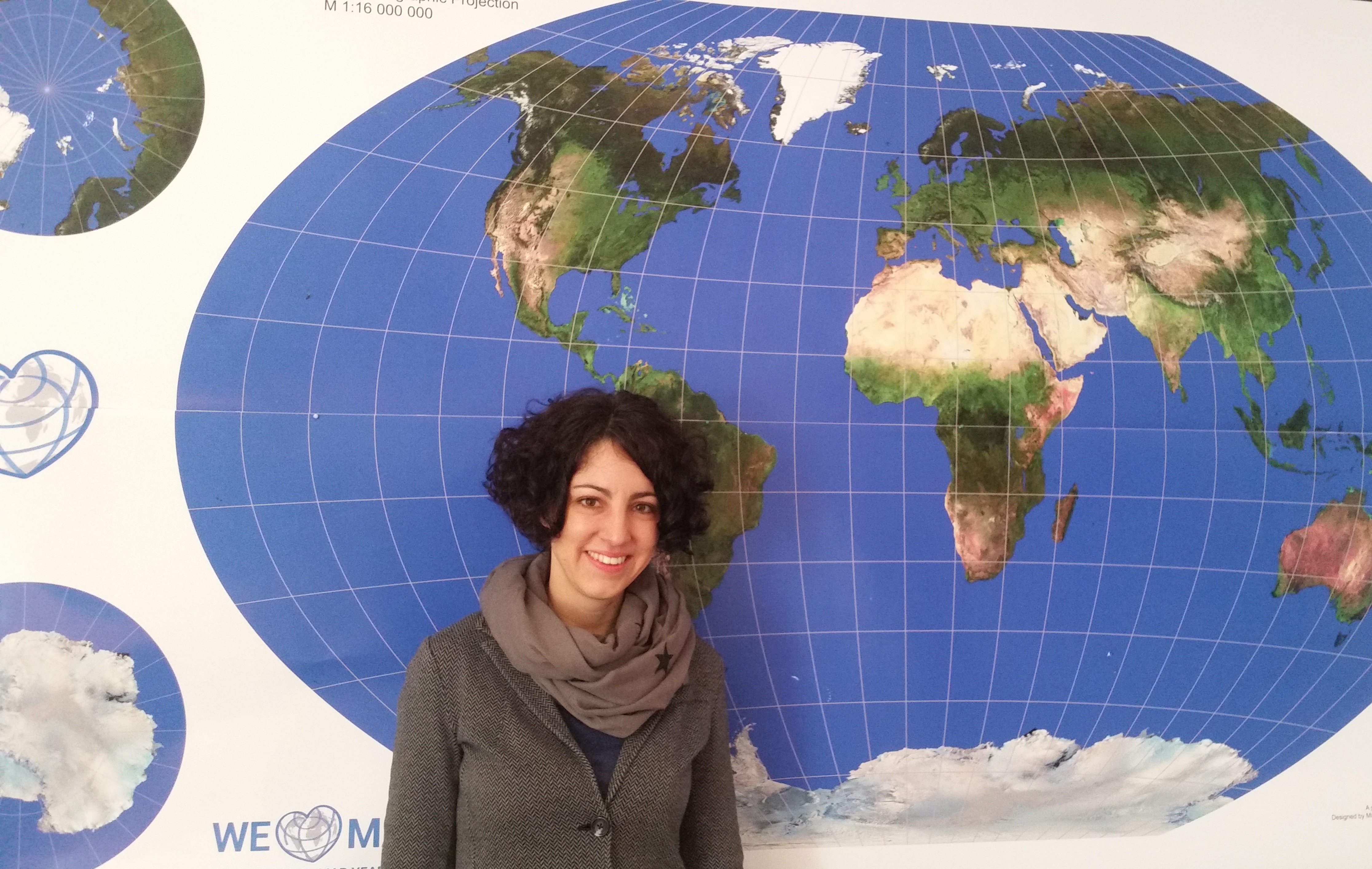
We are very happy to host a CartoTalk by Irene Fellner of the Vienna University of Economy and Business (WU) on Thursday, 17 March 2016.

20160317_110527

Abstract: Indoor navigation systems have become a prominent area of interest in recent years. However, there are still some unresolved challenges in this context. In particular, the question in which way landmark-based indoor routing instructions can be generated automatically has not been addressed yet.

This talk introduces an Indoor Landmark Navigation Model (ILNM) which proposes an approach to generate indoor routing instructions including landmarks automatically, based on the information available in spatial indoor databases. The model consists of three phases: landmark identification, landmark selection and landmark integration.

In order to evaluate the ILNM, it was applied to the data of the Campus GIS of the Vienna University of Economics and Business. The application demonstrates that the ILNM basically produces correct route instructions including landmarks. A comparison to solely metric-based instructions shows that landmarks are important to increase the quality of indoor route instructions. However, the generated route instructions also disclose some gaps in the model and unresolved challenges of automatic indoor routing generation.

Irene Fellner is employed as a project manager at IT-Services of Vienna University of Economy and Business (WU) and was responsible for the development of an indoor navigation system („Campus GIS“) for the new campus of WU. She studied Commerce majoring in Computer Science at WU and completed the postgraduate UNIGIS MSc studies.

Thursday, 17 March 2016, 10:00
Forschungsgruppe Kartographie
Seminarraum 126

Save the date: CartoTalks in summer semester 2016

cartotalks_tuw_200pxWe are happy to announce the following CartoTalks for summer semester: 

Past

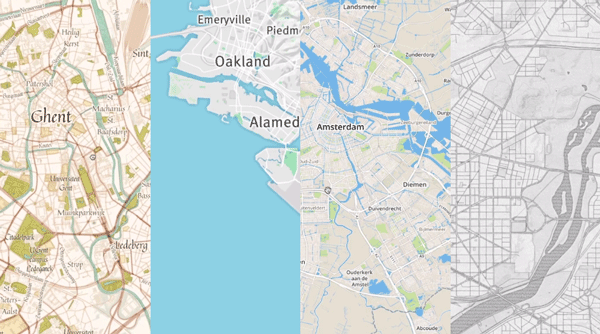
CartoTalk Wilhelm Berg: New developments in webmapping with Mapbox

We were very happy to host a CartoTalk by Wilhelm Berg, developer at Mapbox

mapbox

Abstract: Mapbox is a service provider offering map tiles – similar to Google, Microsoft or Apple. However, Mapbox puts a lot of focus on making it easy for developers to design custom maps for the web or mobile.

Mapbox is based on open data (OpenStreetMap) and open software, which is available on Github. Currently, over 470 repositories are offered, which cover a broad spectrum of functionalities from mapbox.js (based on Leaflet), to iOS C++ SDK, Android C++ SDK and Mapbox Studio (map design tool).

The talk will introduce some of the innovative solutions, which are created and published based on this, such as a cloudless atlasLandsat liveMBTiles specificationsUTFGrid specifications and vector tile specifications.

Being a geographer and hydrologist by education Wilhelm Berg has used and programmed GIS since day one of his studies at university. For his company BergWerk GIS he has developed big data solutions ranging from desktop to web and mobile. Since 1,5 years he is partnering with Mapbox to ensure key Mapbox tools (mapnik, osmium, OSRM, Mapbox Studio, …) deliver the same performance and stability on Windows as on other operating systems.

Presentation file

Wednesday, 17 June 2015, 15:00
Forschungsgruppe Kartographie
Seminarraum 126

CartoTalk David Fairbairn: Archaeological landscape characterisation using LiDAR data

We are happy to invite you to a CartoTalk by our guest professor David Fairbairn from Newcastle University. The CartoTalk is organized in conjunction with the research seminar of the Research Group Photogrammetry.

Archaeological landscape characterisation using LiDAR data

Abstract: The contemporary availability of high-resolution, high-accuracy digital terrain models sourced from LiDAR data collection exercises has allowed archaeologists and other landscape scientists to examine landscapes of interest in more detail and in a more quantitative manner.  This talk describes some initial examination of human-influenced (i.e. disturbed) landscapes in northern England from various periods in history, with reference to LiDAR-sourced data, and speculates whether it will be possible to use further non-geometric characteristics of the LiDAR data to derive additional information about such landscapes.  The methods of representation of such disturbed landscapes are also considered.

David Fairbairn has been employed by the Newcastle University since 1978. A wide variety of geospatial data handling issues have been of research interest over that period, including the structuring and presentation of terrain data, the quantification and use of indices of map complexity, the effective visualisation of map designs, the linkage between mapping and navigation, and issues connected to crowdsourcing and cartographic requirements for SDIs.

Tuesday, 26 May 2015, 14:00, Seminar room 122
Gusshausstraße 27-29, 3rd floor, wing CC

CartoTalk Eleonora Ciceri: Humans in the loop – Optimization of active and passive crowdsourcing

We invite you to our next CartoTalk by Eleonora Ciceri from Politecnico di Milano.

Abstract: Humans in the loop: Optimization of active and passive crowdsourcing Abstract: Crowdsourcing has become a hot topic in the last years: many companies base their core business on it and computer scientists study how to optimize it. Yet, there still are unsolved questions that need to be answered. On the one hand, in an active crowdsourcing context (i.e., the one in which workers actively contribute by solving tasks on crowdsourcing marketplaces) there is the need of identifying among all the possible tasks the ones that are useful (i.e., which ones bring additional knowledge and information) and discard the others. On the other hand, in a passive crowdsourcing context (i.e., the one in which we analyze user-generated content), if someone is in need of identifying topic-related content and influencers (i.e., people that influence other users in thoughts and actions), it is important to identify content features and users behaviors that an automatic pipeline could exploit to find relevant content and influential users without the help of humans. In this brief seminar, we will discuss what crowdsourcing really is, and we will cover these aspects, presenting some of the results that we achieved with our research.

Eleonora Ciceri is a Post-Doc researcher at Politecnico di Milano, Italy. She had a BSc degree in 2009, an MSc degree in 2011, and a doctoral degree in Computer Science Engineering at Politecnico di Milano. Her research interests are top-K query processing, social media, crowdsourcing, human computation and multimedia.

Friday, 8 May 2015, 14:00
Forschungsgruppe Kartographie
Seminarraum 126

CartoTalk Maria Brovelli: Via Regina − Using FOSS4G for slow tourism

We invite you to our first CartoTalk in 2015. Maria Brovelli from Politecnico di Milano will talk about Via Regina − Using FOSS4G for slow tourism.

Abstract: The importance of the tourism industry to the world economy has impressively grown over the last decades, and the paradigm of slow tourism has been emerging as a new way to achieve sustainability through the values of patience, peace of mind, citizens’ participation, environmentally friendly experience as focused on cultural understanding and rediscovery of knowledge. GIS-based technological innovation can be a key element for that purpose and FOSS4G can play a fundamental role.

“The Paths of Via Regina” is an INTERREG project (Cross-border Co-operation Operational Programme Italy – Switzerland 2007-2013) which aims at valorising the cross-border area between Italy and Switzerland covered by many historical paths departing from the historical Via Regina. These ancient routes have represented an important network of communication, cultural and commercial exchange throughout Europe and nowadays can be an important transalpine system of soft mobility links. The project is developed within the context of GeoWeb 2.0, that has opened new possibilities in terms of online dissemination and sharing of geospatial contents. Free and open source tools for processing, cataloguing, querying, editing and Web publishing maps have been used. According to the crowdsourcing paradigm, users not only access information but also become precious data producers. A mobile application through which pedestrian tourists can download forms, fill them along the trip and send them to the server for the final online publication was created. Moreover the Via Regina geoportal makes available two different viewers: a bi-dimensional one (for both traditional computers and mobile devices) and a multidimensional one. Both of them provide all kinds of soft-tourism tools for pedestrian, bicycle and horse travellers. Besides getting useful information from the geoportal for optimally organizing their trips, users can also enrich the geoportal through the contents (e.g. pictures and videos) collected during the trip and shared with the community.

About Maria Antonia Brovelli: Degree with honors in Physics, PhD in Geodesy. Currently Professor of GIS at Politecnico di Milano. From 2006 to 2011 she lectured GIS at the ETH Zurich. From 2001 to 2011 she was the scientific responsible of the Geomatics Laboratory of the Politecnico di Milano. Since 2011 she is Vice Rector for the Como Campus of Politecnico di Milano. She is co-chair of ISPRS WG IV/5 “Web and Cloud Based Geospatial Services and Applications”, Associate Editor of Applied Geomatics Journal (Springer); Member of the Scientific Committee of the Italian Photogrammetric and Topography Society (SIFET); Charter Member of OSGeo; Member of the Advisory Board of the ICA-OSGeo Labs Network.

Friday, 16 January 2015, 11:00
Forschungsgruppe Kartographie
Seminarraum 126

CartoTalk Dušan Petrovič: Cartography in Slovenia

We invite you to a CartoTalk [in English] by Dušan Petrovič of the University of Ljubljana on the topic of Cartography in Slovenia.

He will talk about the historical development of cartography on today’s Slovenian territory from 15th century, cartographic tradition in Slovenia and the establishment of cartographic systems after 1991 and their current status. He will also report on current cartographic research projects, research work and student’s products at the University of Ljubljana, Faculty of Civil and Geodetic Engineering.

Tuesday, 03 June 2014, 15:00
Forschungsgruppe Kartographie
Seminarraum 126

CartoTalk Mark Wigley

We invite you to a CartoTalk [in English] by Mark Wigley from Esri Switzerland on the topic of

Challenging Cartography in ArcGIS with the Carto-Tools from Esri Switzerland

Esri – the leading international supplier of GIS software – has often in the past been shunned by the Cartographic community as concentrating too much on GIS and too little on cartography. Since the arrival of Cartographic Representations in the software ArcMap 9.2 Esri has put considerable effort into responding to this criticism and have since come a long way. This effort has been driven by the fact that the National Mapping Agencies (swisstopo, BEV etc.) are now starting to use their GIS systems to produce the National map sheets instead of using a graphic based software solution. Esri Switzerland has taken the Cartographic possibilities offered by the base software and gone one step further. Together with swisstopo a number of Cartographic processes and tools to help automate map production have been developed. This lecture will explain these Cartographic processes and a demonstration based on Open Street Map data will be given as how they can help produce a more pleasing cartographic result and optimise a production workflow.

Tuesday, 06 May 2014, 17:15
Forschungsgruppe Kartographie
Seminarraum 126

Presentation slides

Mark Wigley studied Geographical Techniques in Luton College of Higher Education in England. After over 7 years working in the conventional cartography in both England and Switzerland he moved into desktop digital cartography at Kümmerly+Frey, the then biggest private mapping company in Switzerland. After a further 3.5 years he moved to Hallwag where he started as head of digital cartography the job of building a seamless European database using the existing paper maps. He went on, to become head of the Cartography department where he remained for over 11 years. He next moved into the software arena working 3.5 years for the Mapping Software company Morelli Informatik before finally moving to Esri Switzerland in the Autumn of 2011.

CartoTalk OSGeo and QGIS

We were very happy to welcome Anne Ghisla, Berlin, and Andreas Neumann, Uster, to our CartoTalk series. On the occassion of the Vienna Code Sprint 2014, Anne and Andreas gave a joined presentation on

OSGeo and QGIS

[Talk 1] OSGeo and OpenSource in general – Why using it? How to contribute? by Anne Ghisla. Anne is a natural scientist who got interested in GIS and open source programming during university. She started with GRASS GIS and QGIS, first met the OSGeo community by helping on documentation. Then she started programming in 2008 thanks to Google Summer of Code, and became mentor and administrator for OSGeo in following years. She is interested in spreading the word about open source and GIS among students and researchers, and her main objective is to connect people and communities of different software projects.

[Talk 2] The QGIS project – current and future developments with an emphasis on the cartographic possibilities of QGIS by Andreas Neumann. Andreas is a GIS coordinator at the City of Uster, Zurich, Switzerland. The city administration, like many other governmental agencies in Switzerland, is increasingly using OpenSource GIS projects (like QGIS, Postgis, GRASS, GDAL/OGR) to realize the geodata infrastructure, analysis and GIS application modules. Andreas is the current president of the Swiss QGIS user group. He studied Geography, with an emphasis on Cartography and GIS at the Universities of Vienna, Zurich, ETH Zurich and Santa Barbara/California. In 2010 Andreas finished his PhD at ETH Zurich. Between 2004 and 2007 he was also a member of the W3C SVG working group and an organizer of a web graphic conference series called SVG Open (now: Graphical Web conference).

Learning QGIS 2.0Also on board was Anita Graser – a local QGIS activist working at the Austrian Institute of Technology, Vienna. Please check out her blog. We also recommend her book “Learning QGIS 2.0”.


CartoTalk details:
Monday, 24 March 2014, 15:00
EI5 Hochenegg HS, Gußhausstr. 25-29 (Altes EI), 2. Stock


This post was fetched from geo.tuwien.ac.at. Please find the original here.
CartoTalk Jan D. Bláha

We invite you to a CartoTalk [in German] by Jan Daniel Bláha
from J. E. Purkyne University in Ústí nad Labem on the topic of

Der Kartograph und seine Kooperation mit geisteswissenschaftsorientierten Experten

Viele Kartographen finden während ihrer Praxis schnell heraus, dass kartographische Theorie und Praxis zu verbinden, oft nicht einfach ist. Kartographische Praxis nämlich liefert, was an der Universität schwierig zu lehren ist, also die individuellen Anforderungen von Kunden und Verlagen und die individuellen Bedürfnisse des Benutzers. Diese Anforderungen und Bedürfnisse finden sich oft in Kontradiktion sowohl in der Theorie selbst als auch in gegenseitigem Widerspruch.Zusätzlich kann der Kartograph oft nicht ausreichende Kenntnisse in den verschiedensten Bereichen haben, um eine Karte vorzubereiten. Dies wird v. a. deutlich in den Geisteswissenschaften wie Geschichte, Soziologie, Anthropologie u. ä. Solch kartographische Produktion ist mit zahlreichen Konsultationen bei den Autoren und einer Reihe von Änderungen und Korrekturen der Karten verbunden. Der Kartograph ist somit gezwungen, geduldig zu sein. Es ist leider auch nicht leicht, dem Autor des Buches zu erklären, dass seine Ideen auf der Karte nicht viel Sinn machen. In diesem Fall muss der Kartograph eine ausreichende Anzahl vorbereiteter Argumente haben, warum es nicht geht, warum es nicht funktioniert usw.Ein weiteres Problem sind die gelieferte Kartengrundlage und Daten. Sie sind manchmal in gegenseitigem Widerspruch, veraltet, nicht zeitgemäß (sehr wichtig in Geschichtsbüchern) usw. Der Kartograph ist also manchmal gezwungen, sich weniger auf Genauigkeit als auf Anschaulichkeit und Logik zu verlassen. Manchmal ist der Karteninhalt nicht im Voraus bekannt, manchmal geht es um zeitlich veränderliche Phänomene, manchmal muss der Kartograph mit dem Autor Informationen über die Lage der Objekte usw. suchen.Die Aufgabe der Kartenherstellung bildet ein eigenes Kapitel. Wenn der Autor einen thematischen Inhalt in die vorher vorbereitete Kartengrundlage einfügt, ist die Situation noch relativ gut. Schlechter ist die Situation, wenn die Autoren eigene Karten vorbereiten. Das schwierigste ist, wenn der Kartograph einen originellen Kartenstil finden soll. In solchen Fällen sollte der Kartograph auch Graphiker sein.Die Kooperation mit den geisteswissenschaftsorientierten Experten stellt ganz ungewöhnliche Anforderungen an die Karte. Der Kartograph muss jedoch diese Realität als Aufforderung sehen, sonst wird er nur ein Operator von GIS.

Wednesday, 29 January 2014, 11:00
Forschungsgruppe Kartographie
Seminarraum 126

Jan Daniel Bláha ist Assistenzprofessor am Institut für Geographie der naturwissenschaftlichen Fakultät UJEP. Er absolvierte einerseits Geographie und Kartographie mit Schwerpunkt Kartographie und Geoinformatik, andererseits Kulturtheorie und Theorie der Kunst, beides an der Karlsuniversität in Prag. Er ist Mitglied der Tschechischen Gesellschaft für Geographie und vertritt Tschechien in der Kommission „Art and Cartography“ im Rahmen der ICA. In der Forschung konzentriert er sich auf die ästhetischen und kulturanthropologischen Aspekte der kartographischen Produktion und Auswertung von kartographischen Werken aus der Sicht der Nutzer. Insbesondere geht es um Beziehungen von Utility-Funktionen der Karte mit ästhetischen Funktionen und das Studium ihrer gegenseitigen Beeinflussung. Generell versucht er die Humandimension der naturwissenschaftlich-technischen Disziplin, genannt Kartographie, zu zeigen. Er arbeitete mehrere Jahre für den Verlag Kartografie Praha und erstellt jetzt Karten für die Bücher des Universitätsfachverlags Karolinum und andere Verlage, sowie Karten für den tschechischen Geographischen Schulwettbewerb. Er hat auch zahlreiche wissenschaftliche Publikationen und mehrere Kapitel in internationalen Büchern von Springer veröffentlicht.

presentation slides 4 MB, map example

This post was fetched from geo.tuwien.ac.at. Please find the original here.