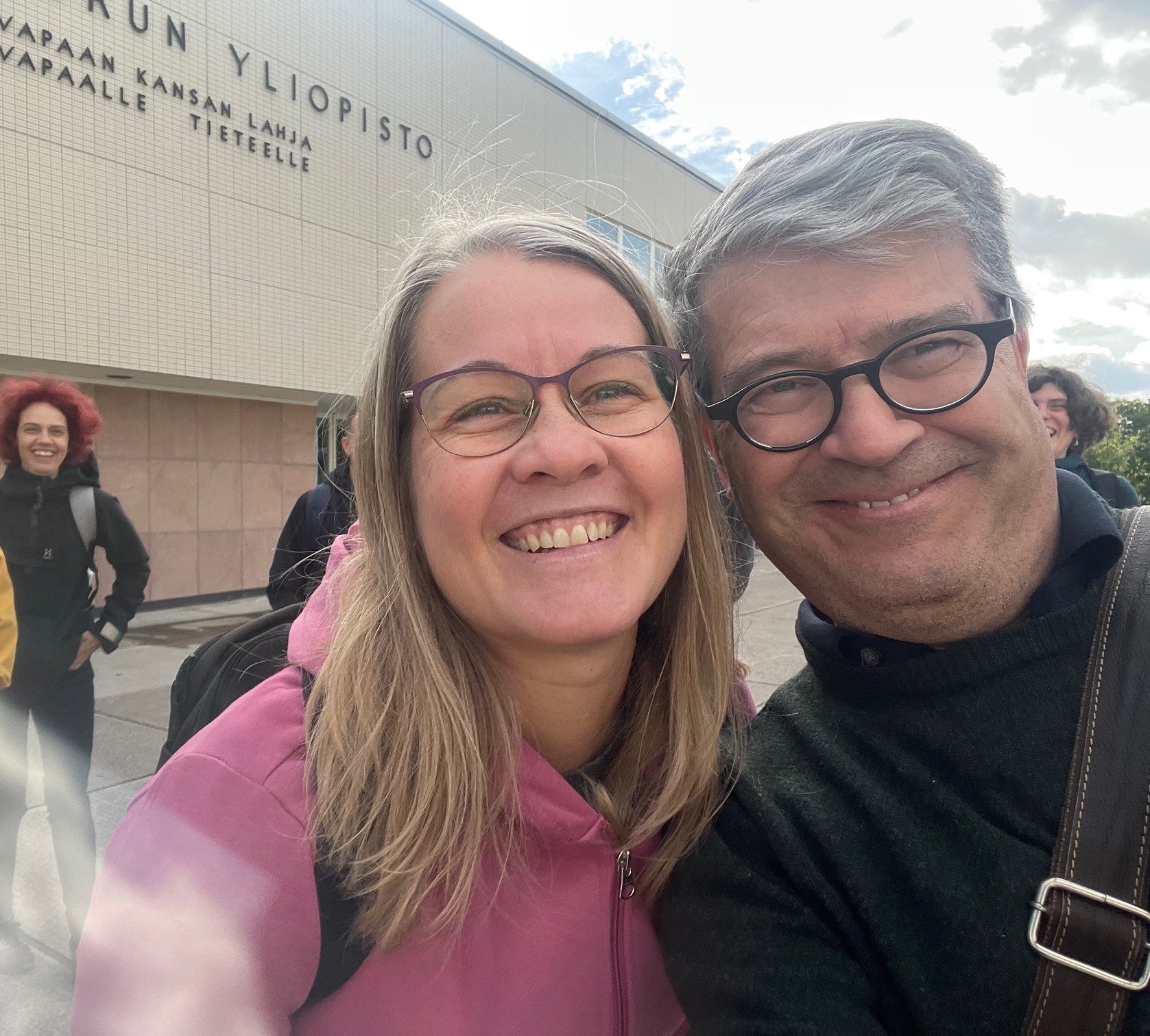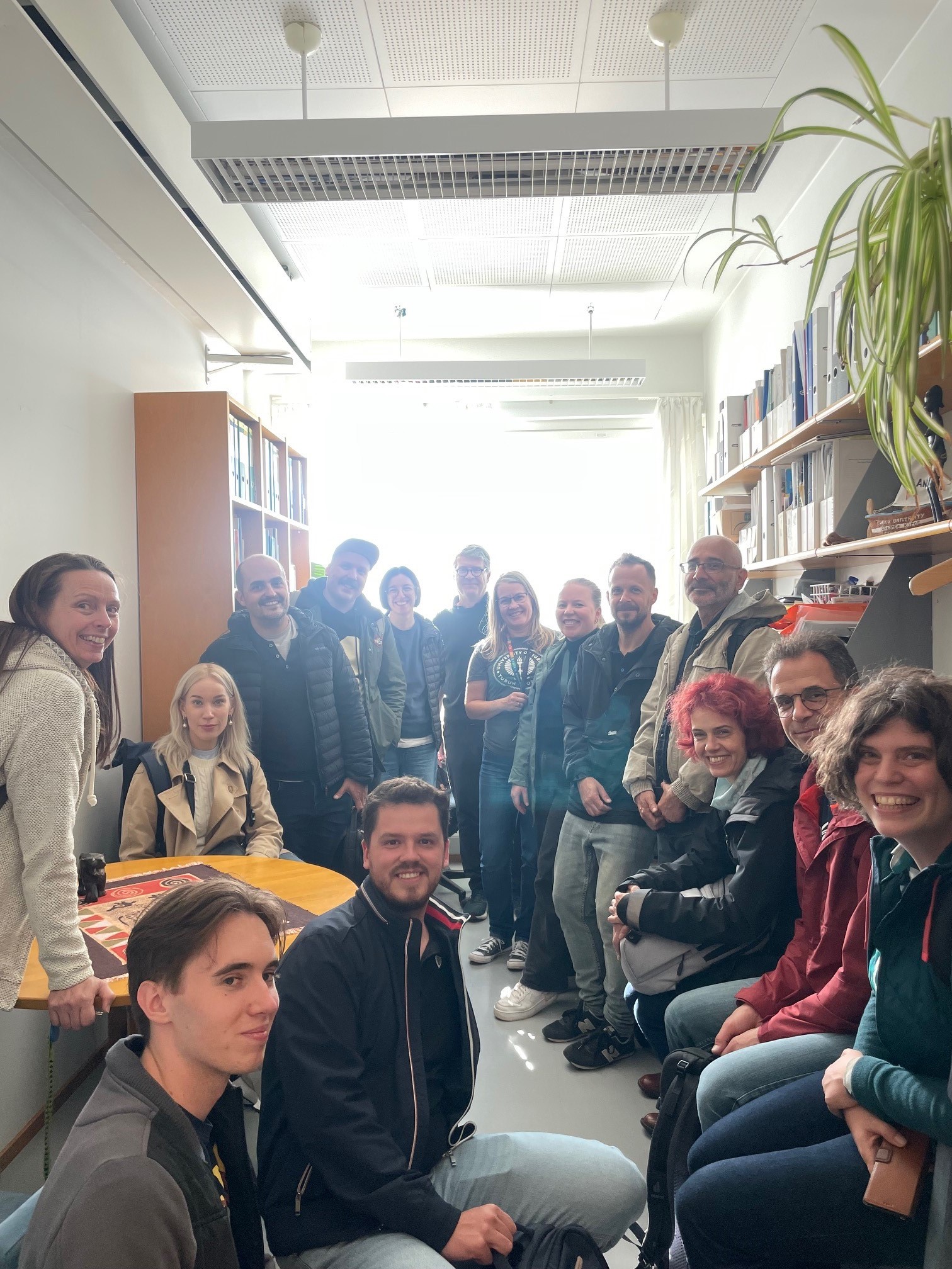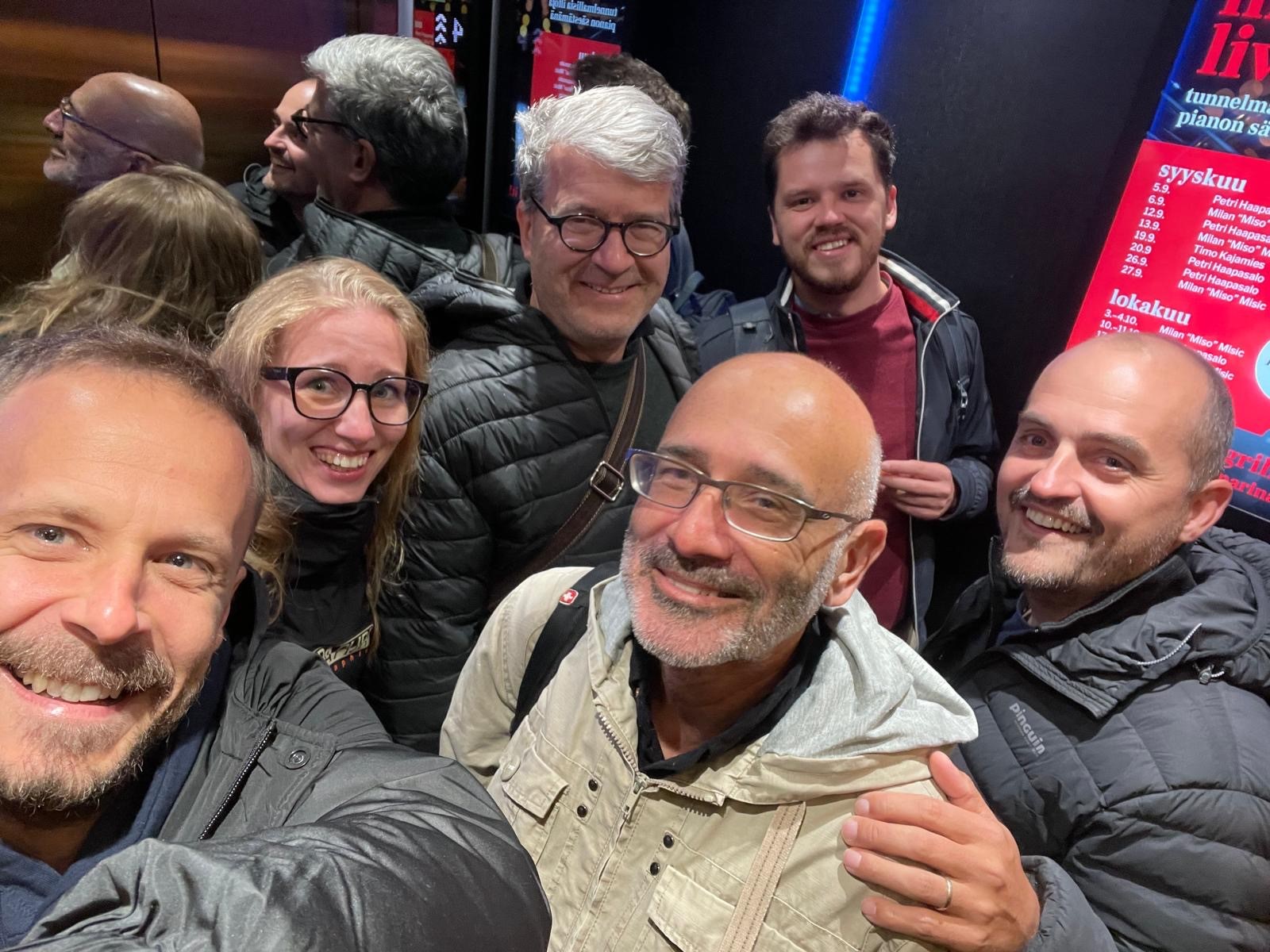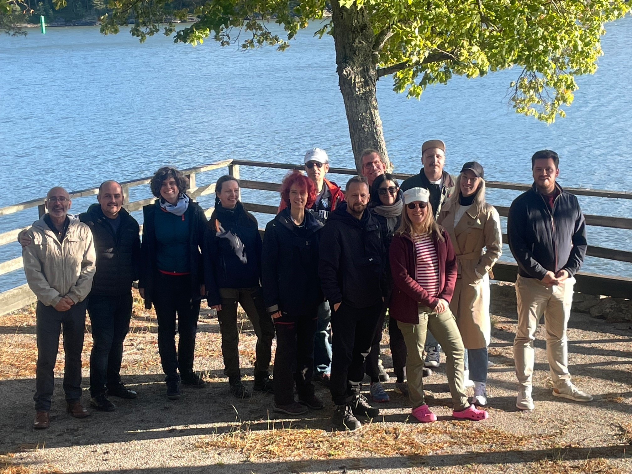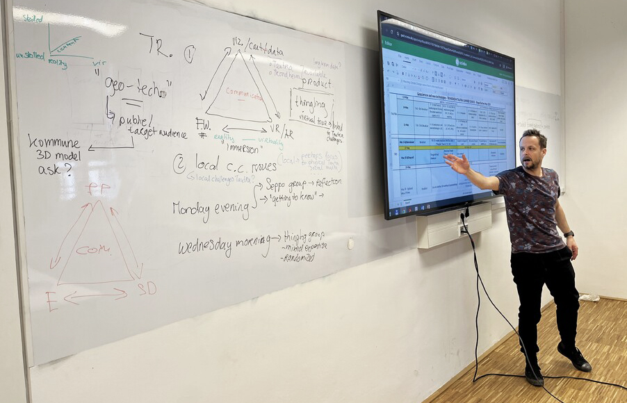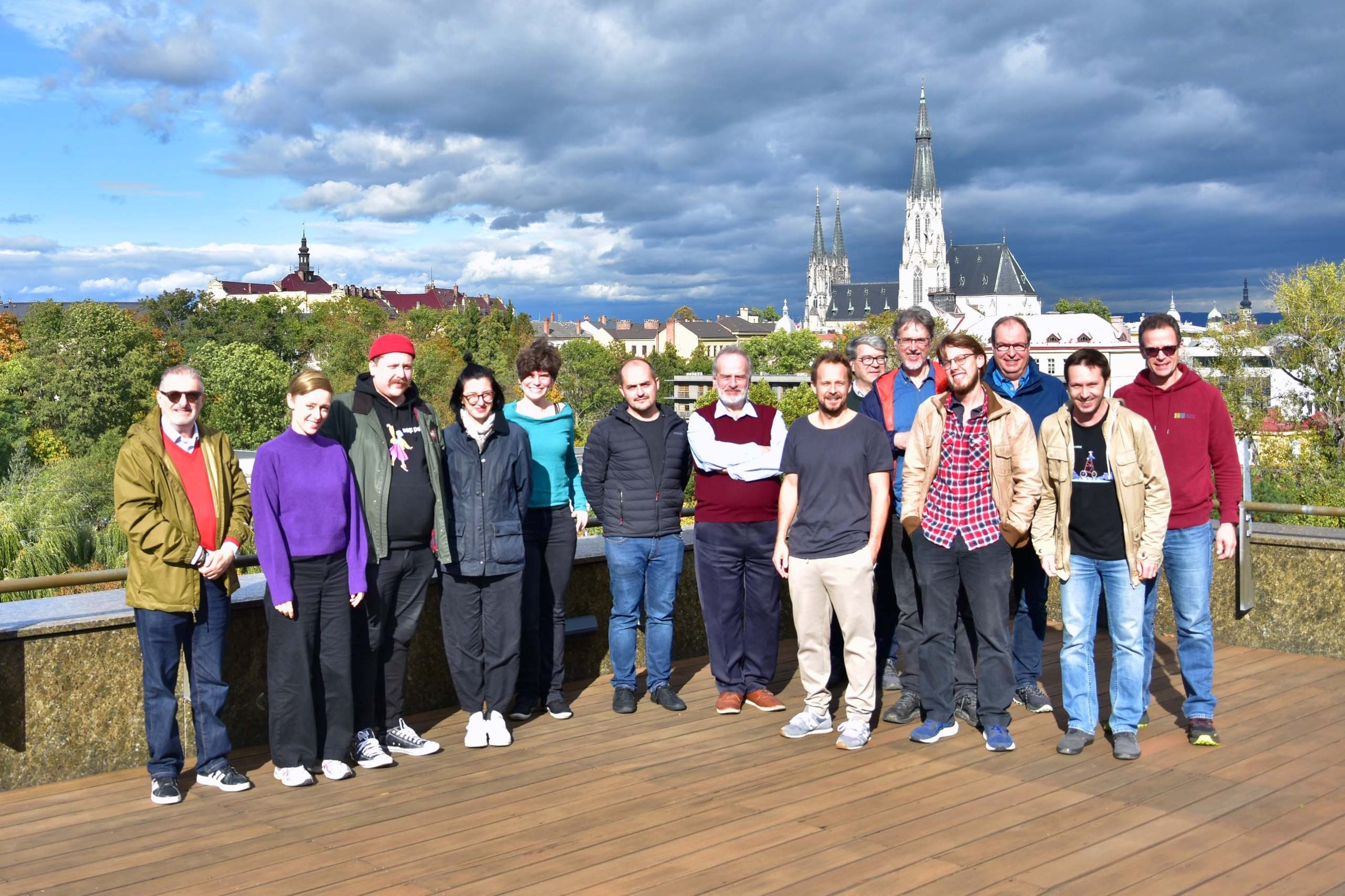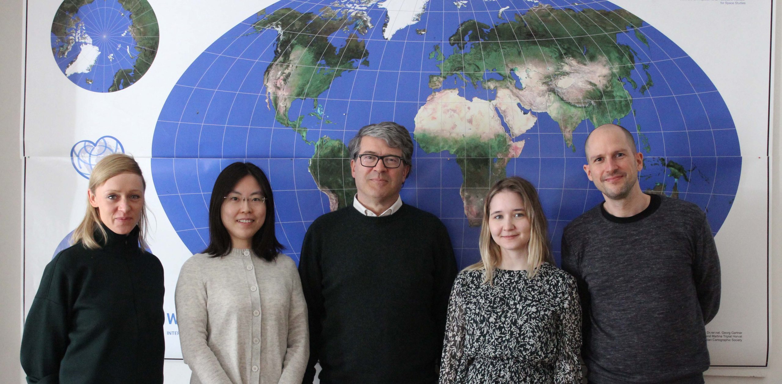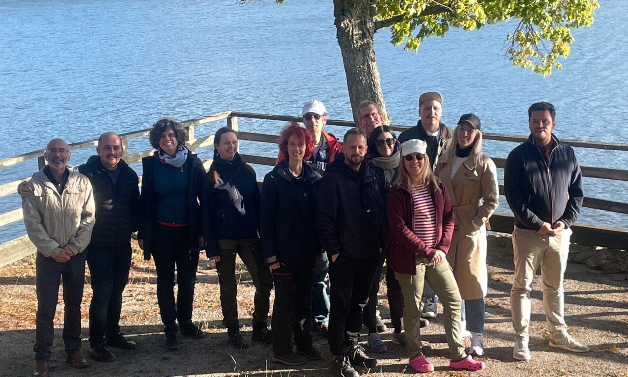
In late September, the international Shape2Gether project team gathered in Turku, Finland, for a productive workshop hosted by the University of Turku. The Research Unit Cartography of TU Wien was represented by Georg Gartner, joining colleagues from seven European universities and the Finnish educational company Seppo to review recent progress, reflect on the outcomes of this summer’s activities, and plan the next stages of the project.
The Shape2Gether project aims to implement innovative approaches in education for sustainable development within the context of climate change and its impacts on Europe. It brings together three key areas of expertise — geosciences, new technologies, and serious game design — to explore how these disciplines can enhance learning and engagement in sustainability-related topics. The long-term vision is to shape a new pan-European curriculum that integrates these elements and to apply for funding to establish an Erasmus Mundus Joint Master’s programme.
Building on three earlier Erasmus+ initiatives — Spationomy 2.0, EduChange 2.0, and DigiGeo — the project seeks to:
- contextualise geosciences, technology, and serious games with real-world climate change challenges;
- innovate in education for sustainable development (ESD) by addressing local environmental issues;
- equip students and educators with competencies to become agents of change;
- promote active citizenship and local-level climate action across Europe;
- and ultimately develop a new, joint curriculum encapsulating these goals under the Erasmus Mundus Joint Masters scheme.
Over its three-year timeline, Shape2Gether combines short-term staff mobilities and blended student mobilities, centring on summer schools as immersive, five-day learning events. These schools unite students and educators to explore sustainability challenges through geospatial technologies, game-based learning, and collaborative fieldwork. Students learn to apply modern mapping tools, critical thinking, and creative design to address real-world sustainability issues—becoming true “actors of change.”
The recent Turku meeting (22–24 September 2025) provided a valuable opportunity for consortium partners to evaluate feedback from past summer schools in Norway, Malta, and Germany. Participants reflected on the learning outcomes and began drafting the structure of the forthcoming joint curriculum that uniquely combines ESD, new technologies, and gamification.
For TU Wien, the Turku meeting highlighted once again the power of interdisciplinary collaboration and digital innovation in shaping sustainable education. The ongoing cooperation across Europe — uniting geoscientists, educators, and technologists — continues to strengthen our shared commitment to fostering awareness, creativity, and resilience in the face of global climate challenges.
Stay tuned for updates as the consortium continues to design the Shape2Gether curriculum and follow the project on Instagram (@shape2gether) for the latest news from the team!