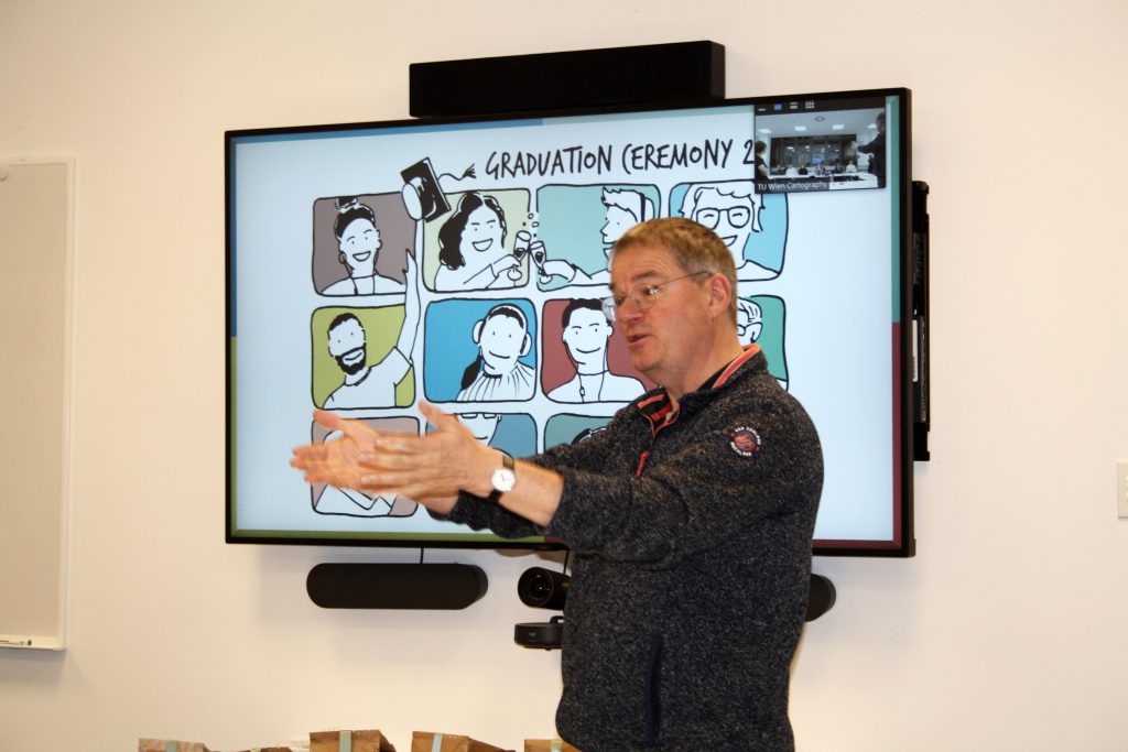
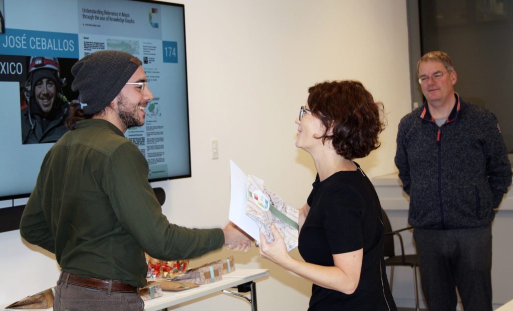
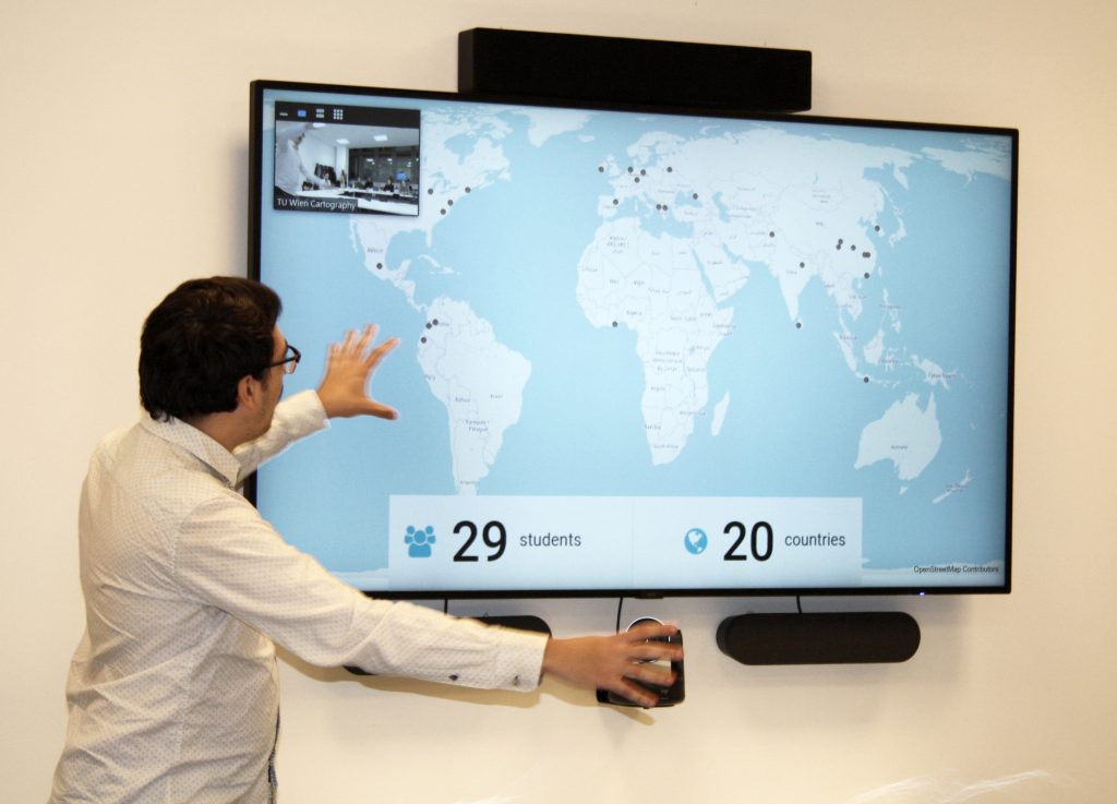
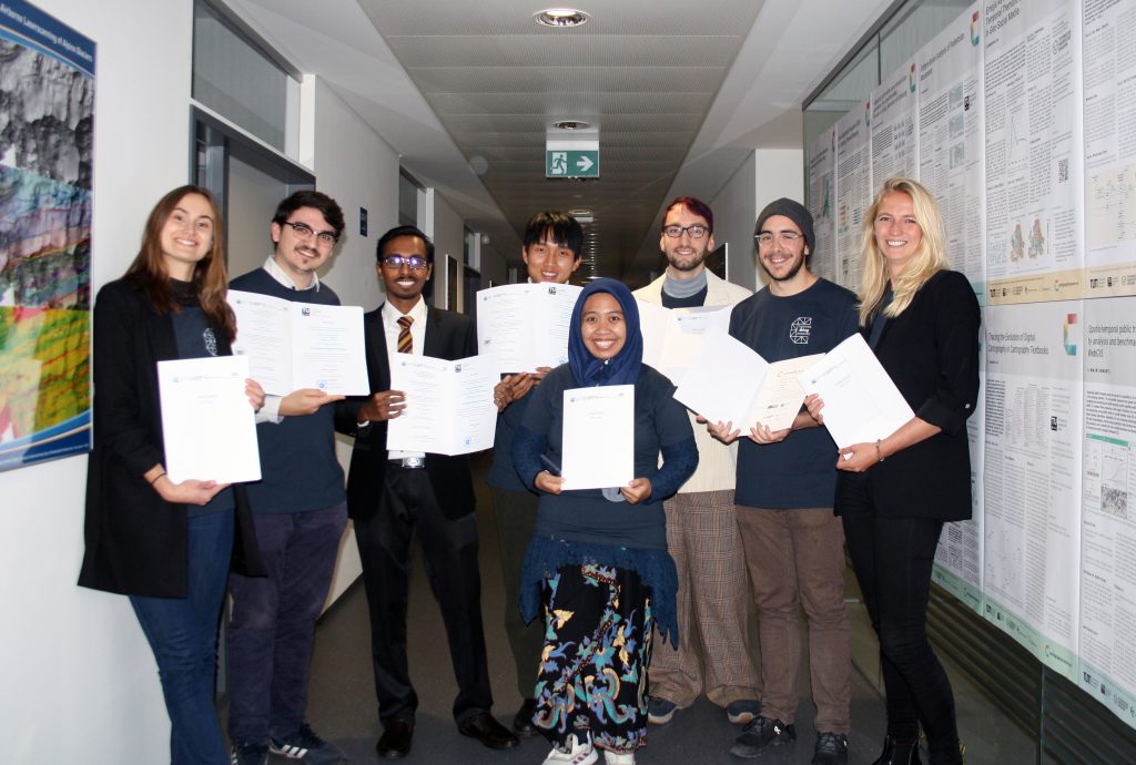
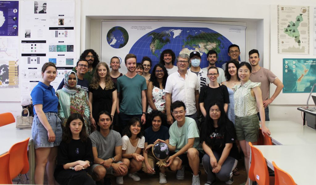
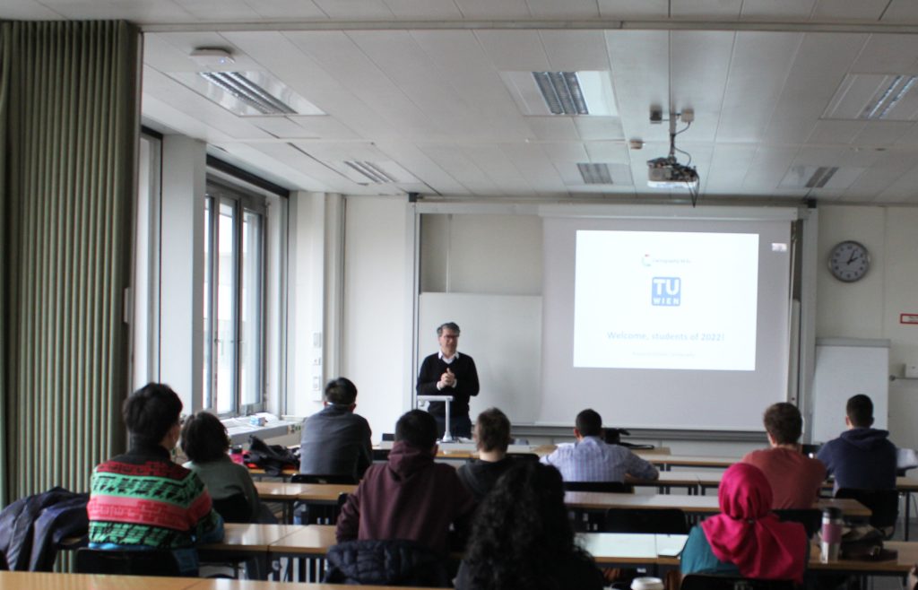
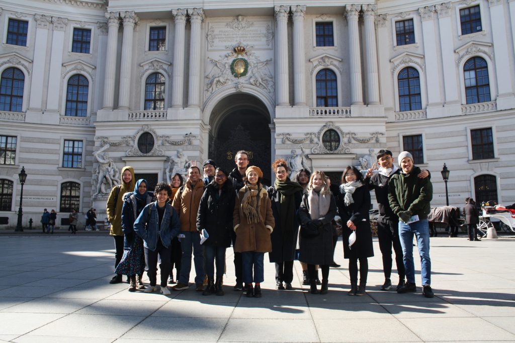
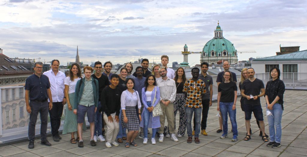
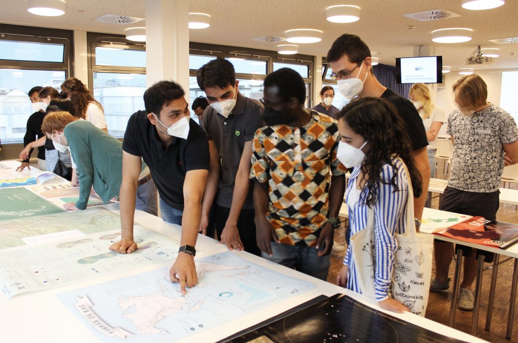
The ninth intake of the International Master Programme in Cartography has finished the “Vienna Semester” and is now heading to TU Dresden for their third semester. In a farewell session, we reviewed the summer term and showcased the results of their hard work.
This summer term we had the pleasure to e-host six international guest lecturers who shared their research with our students from the International Master in Cartography:
Prof. Dariusz Gotlib (TU Warszawa): Selected qualities of mobile maps on the indoor navigation examples
Prof. Michael Peterson (University of Nebraska Omaha): Paradigms guiding Cartographic Research since the 1950s
Dr. Amy Griffin (RMIT Melbourne): The User is the Centre of the Universe: Designing Interactive Maps for End Users
Prof. Philippe de Maeyer (Ghent University): Semiology and Syntaxis in Cartography
Prof. Philippe de Maeyer (Ghent University): A Brief History of Cartography
Prof. Menno-Jan Kraak (University of Twente): Maps and Time
Prof. Rob Roth (University of Wisconsin-Madison): Cartographic Design and Visual Storytelling
Together with our students of the International Master of Cartography, we went on a hike to Hermannskogel last week. In perfect weather conditions, we reached the highest natural point of Vienna – at 542 metres above sea level. Atop the Hermannskogel, we visited the Habsburgwarte, which marked the kilometre zero in cartographic measurements in Austria-Hungary until 1918.
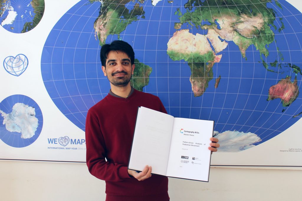
Nowadays, the majority of people live in cities, consisting of ever taller building structures, occluding more and more sunlight. Thus, humans are getting increasingly restricted from direct access to the Sun. This thesis claims that a tool, enabling humans to gain a better understanding of solar shadows in cities and around the world, would be beneficial. […] Such a tool should be able to consider relevant three-dimensional occluding structures such as buildings, terrain, and vegetation, as well as the actual Sun position, and visualize respective shadows for arbitrary points in time, providing predictability of solar shadows. […] Therefore, a methodology towards a capable prototype implementation is framed […].
For more details visit the project website shadowmap.org.
From October 10-12, 2019, the first Cartography M.Sc. Alumni Meeting took place, hosted by TU Munich. The alumni of all former intakes, fresh graduates, current students, and consortium members of the four cooperating universities met for the first time to learn, reconnect, and network.
Alumni, current students, and consortium members of the four cooperating universities
During the three-day event, the alumni from different intakes shared their career stories, gave professional advice, motivational mantras, and presented lessons learned after they left the Alma Mater.
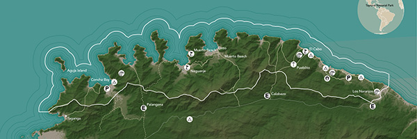
We congratulate our student Jakob Listabarth for being a winner at the Monochrome Mapping Competition 2019 with his purely magenta map “The Lost Treasures of la Isla del Coco”, which he created within the class Project Map Creation this summer semester.
When doing monochrome design, cartographers can only use one “ink” color, but most of us at least use various tints of that ink: basically, mixing it with the background color to create a continuous ramp of colors (e.g., greyscale) that we can use to distinguish rivers, contours, and other feature types from each other. Continuous monochrome is tough enough, but Jakob Listabarth takes the challenge even further and uses this map’s sole ink at 100% strength only. He is only able to distinguish feature types from each other using line weight, dot/dash patterns, and hachure shading. This he does excellently, and I continue to be impressed by how much information is shown, and how clearly each layer is distinguished from the others when they are all, after all, exactly the same version of magenta.
It’s not only an attractive aesthetic choice, but one that ties into the map’s subject. In the 19th century cartographers were usually likewise limited to representing features using ink lines, printed from engraved copper plates. Listabarth still puts a modern spin on things with the sans serif typography and charming (whimsical?) illustrations. It’s a lovely blending of old and new.
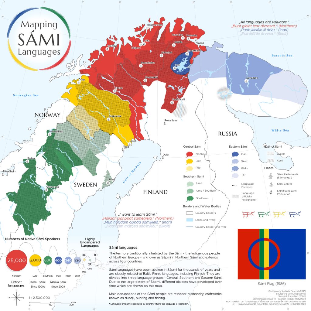
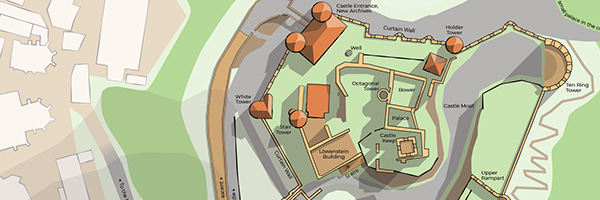
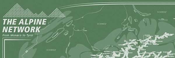
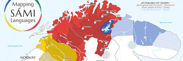
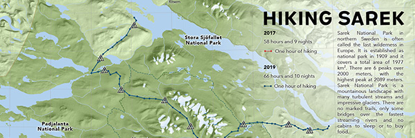
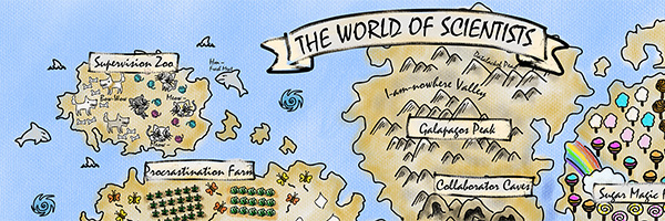
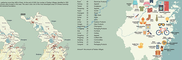
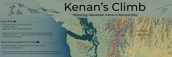
As in former semesters, we would like to showcase a selection of extraordinary student projects from this summer semester. The following maps are results from the class Project Map Creation.
La Isla del Coco. A monochromatic exploration by Jakob Listabarth (png, 6.2mb)
SkiWelt Wilder Kaiser Brixental. An orientation and navigation map by Jenny Janssen (jpg, 3.3mb)
Around Medieval Churches on Gotlandsleden by Verena Klasen (jpg, 2.1mb)
Ocean Plastic. A relief light map by Nikita Slavin (jpg, 3.3mb)
The Polar Fanzine by Danai Maria Kontou (jpg, 2.6mb)
The Return of the European Beaver by Jonas Beinder (jpg, 2.2mb)
Sagenhafte Wachau. Eine Karte zum Ausmalen und Entdecken by Sophie Haselsteiner (jpg, 2.0mb)
Kazakh Khanate (1465–1847) by Bibigul Zhunis (jpg, 4.9mb)
A huge thank you to all students for their hard work in this busy summer semester. Enjoy the summer!
Together with our students of the International Master of Cartography, we visited the Otto Neurath exhibition “Sprechende Zeichen“ at the Wirtschaftsmuseum in Vienna. The exhibition is dedicated to Otto Neurath, founder of the Society and Economic Museum. Otto Neurath developed new graphics techniques during the First World War. He was a member of the philosophical Wiener Kreis and developed the Viennese method of image statisticsto present statistics in an easily understandable, visual form.