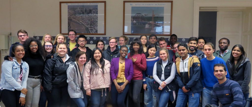
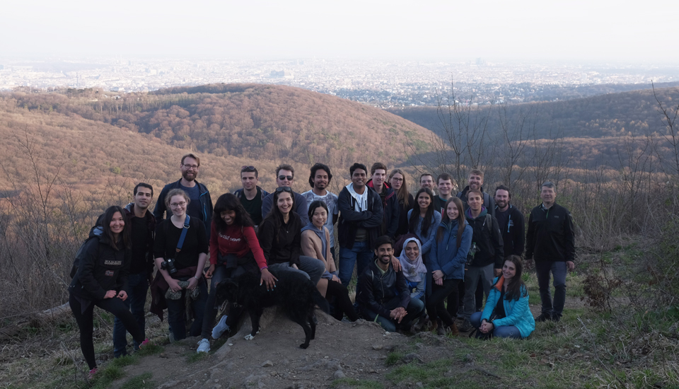
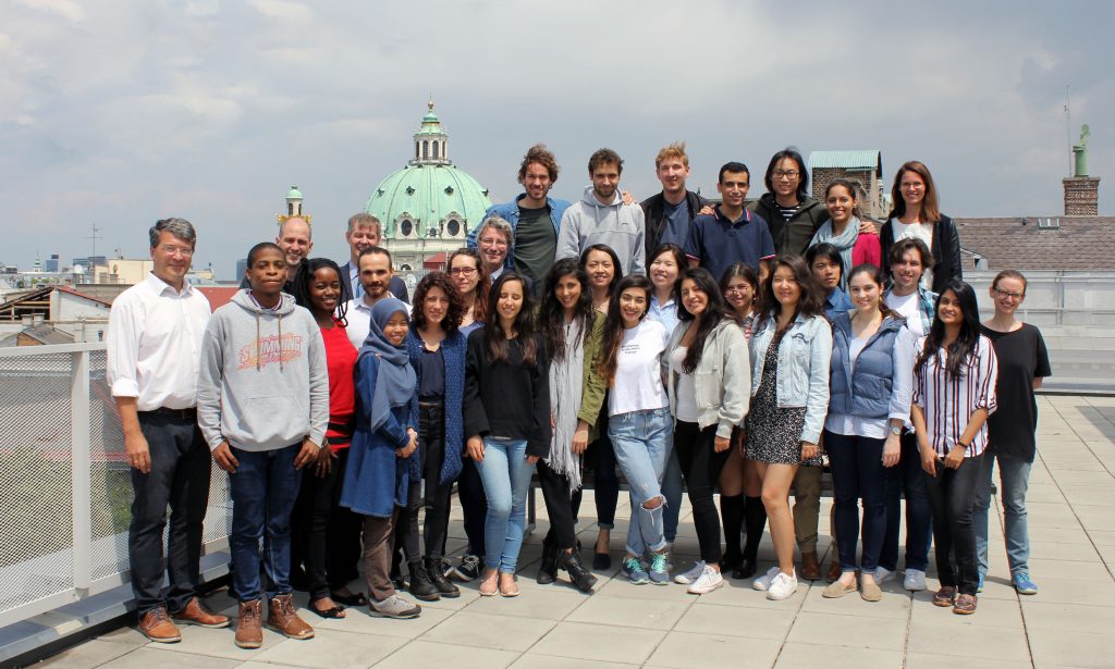
Great student maps from Project Map Creation, summer semester 2018

As in former semesters, we would like to showcase a selection of extraordinary student projects from this summer semester. The following maps are results from the class Project Map Creation.

Spanish Civil War in the Basque Country by Iñigo Etxeandia Rodriguez
Spanish Civil War in the Basque Country by Iñigo Etxeandia Rodriguez (jpg, 2.2mb)

Butterflies in Taiwan by Yuan Pei-Lun
Butterflies in Taiwan by Yuan Pei-Lun (jpg, 1,7mb)

Go for Mikulov by Jarmila Fucikova
Go for Mikulov by Jarmila Fucikova (front | back, jpg, 2.0mb)

Moving Ice? by Mengyu Liang
Moving Ice? by Mengyu Liang (jpg, 1mb)

Road to final by Mohamed Ibrahim
Road to final by Mohamed Ibrahim (jpg, 2.2mb)

Almaty – City of Apples by Kikkarina Altynay
Almaty – City of Apples by Kikkarina Altynay (jpg, 1.1mb)

Hexagonal World Map by Mariana Vallejo Velazquez
Hexagonal World Map by Mariana Vallejo Velazquez (jpg, 1.3mb)

Pictorial Map of Bangladesh by Nuzhat Tabasum Nawshin
Pictorial Map of Bangladesh by Nuzhat Tabasum Nawshin (jpg, 1.9mb)

National Parks of Poland by Agnieszka Mank
National Parks of Poland by Agnieszka Mank (jpg, 3mb)

Argentina's World Heritage by Zarina Acero
Argentina’s World Heritage by Zarina Acero (jpg, 1.3mb)

World Map of Coffee by Elifcan Ozyildirim
World Map of Coffee by Elifcan Ozyildirim (jpg, 2.5mb)

Results from other classes might be added later.

A huge thank you to all students for their hard work in this busy summer semester. Enjoy the summer!
Results from earlier semesters can be found here:
2017 | 2016 | 2015 | summer 2014 | winter 2014 | 2013 | 2012

Hike to Hermannskogel with students of the International Master of Cartography

On June 16, students of the International Master of Cartography were invited on a hike to Hermannskogel. The hill is not only the highest peak of Vienna but also a geodetic fundamental point. The small exhibition at Habsburgwarte gave some insights into its history as the kilometre zero of cartographic measurements in Austria-Hungary.

Continue reading “Hike to Hermannskogel with students of the International Master of Cartography”

Meet & greet with representatives of all 4 partner universities of the International Master in Cartography

The Research Group Cartography is currently hosting a meeting of representatives of all partner universities of the International Cartography Master program. We are happy to welcome program coordinator Juliane Cron from Technische Universität München, Liqiu Meng from Technische Universität München, Nikolas Prechtel from TU Dresden, and Corné van Elzakker from ITC – University of Twente.

The students from the 7th intake, who are spending the summer semester 2018 at TU Wien, will have the chance to meet the colleagues from Munich, Dresden, and Twente, and to get information about upcoming classes and excursions.

To find out more about the International Master in Cartography, please visit cartographymaster.eu.

Welcome to the 7th intake of the International Master in Cartography

We are happy to welcome 24 students of the International Master in Cartography at TU Vienna for the summer semester 2018. This intake’s students come from 20 countries: Argentina, Bangladesh, China, Ecuador, Egypt, Germany, Ghana, Greece, Kenia, Kzakhstan, Lebanon, Malaysia, Mexico, Netherlands, Poland, Serbia, Spain, Taiwan, Turkey and the USA.

After finishing their first semester at TU München, the students are now with us for their second semester, before they move to TU Dresden. We are really happy to have them here and wish them a fun & successful semester!

To find out more about the International Master in Cartography, please visit cartographymaster.eu.

Application for the Cartography M.Sc. is now open

We are one of the four partner universities offering the Erasmus Mundus Master of Science programme in Cartography. The application for the 2018 intake (program start: October 1) is open from January 1 to May 31, 2018.

The deadline for Erasmus Mundus scholarship applications is March 15, 2018. All details concerning the application procedures can be found here. Continue reading “Application for the Cartography M.Sc. is now open”

Master thesis presentations

We congratulate Kaidi Guo and Christopher Hogg for finishing their International Master in Cartography!

  • Kaidi Guo discussed her findings on “Spatial-temporal analysis of international connections based on textual social media data”.
  • Christopher Hogg presented his thesis on “An investigation in the requirements and design of an online cartographic data comic editor”.

Well done and best wishes for your future careers!

Internationaler Master in Kartographie erhält erneut begehrte Erasmus-Mundus-Förderung

Die Exekutivagentur Bildung, Audiovisuelles und Kultur der Europäischen Kommission (EACEA) fördert durch ihr Programm Erasmus+ Studierenden-Mobilität im Rahmen von Joint Master Degrees. Das an der TU Wien eingerichtete Masterstudium Kartographie konnte bereits in der Förderrunde 2014 diese begehrte Förderung für drei Jahre erringen. Es ist umso erfreulicher, dass dies in der aktuellen Runde erneut gelungen ist und die Kartographie unter den 38 erfolgreichen Programmen ist (bei 116 Anträgen). Das frei.haus der TU Wien berichtet dazu.

Nähere Informationen zum Studium finden sich auf der neuen Programm-Website cartographymaster.eu

Bachelor thesis presentations

Congratulations to our students who just presented their bachelor theses successfully:

  • Kathrin Theil discussed “Möglichkeiten der Implementierung von Weltkarten für einfache thematische Anwendungen im Web”.
  • Alina Florian shared her findings on “Wahrnehmung von Farbe in Orientierungslaufkarten” .

Well done and best wishes for your future careers!

Thanks to our students for your feedback!

Every semester students are given the opportunity to anonymously evaluate their classes. A big thanks to all our students who shared their feedback on our classes held in summer term 2017!

Student feedback for Cartographic Information Systems:

Very considerate lecturers according to problems in the exercise and questions in the lecture. Very useful topics!

Student feedback for Thematic Cartography in Regional Planning:

Für mich eine der besten und interessantesten übungen bisher. Die übungen waren gut beschrieben und verständlich. Die dafür aufgebrachte zeit war angemessen. Man hat einiges mitnehmen können, was für zukünftige kartengestaltungen/kartenerstellungen von nutzen sein wird. Eine der wenigen übungen auf die man sich gefreut hat.

Student feedback for Web Mapping:

Extremely satisfied.

Student feedback for Programming Cartographic Tasks (winner of TU’s Best Lecture Award 2017):

Gut aufgebaute Vorlesung mit den Unterlagen die immer auf dem aktuellen Stand online zur Verfügung standen. Die Bereitstellung des Codes der Beispiele aus der Vorlseung war ein guter Service und Impulsgeber für die Druchfürhung der Programmierbeispiele. Das optionale Angebot des JavaScript Kurs und die Motivation des Vortragenenden auf jede Frage sofort – auch außerhalb der Vorlesungszeit – mit der Antwort zu dienen ist sehr hervorzuheben.

Student feedback for Location Based Services:

The combination of lectures and project turned out to be a very good combination in and motivating for exploring the topic.

Student feedback for Applied Cartography:

Die ohnehin schon sehr spannenden Inhalte wurden sehr anschaulich und verständlich an die StudentInnen übermittelt. Zudem boten die Vorlesungseinheiten eine gute Vorbereitung für die zu absolvierenden Übungsaufgaben.