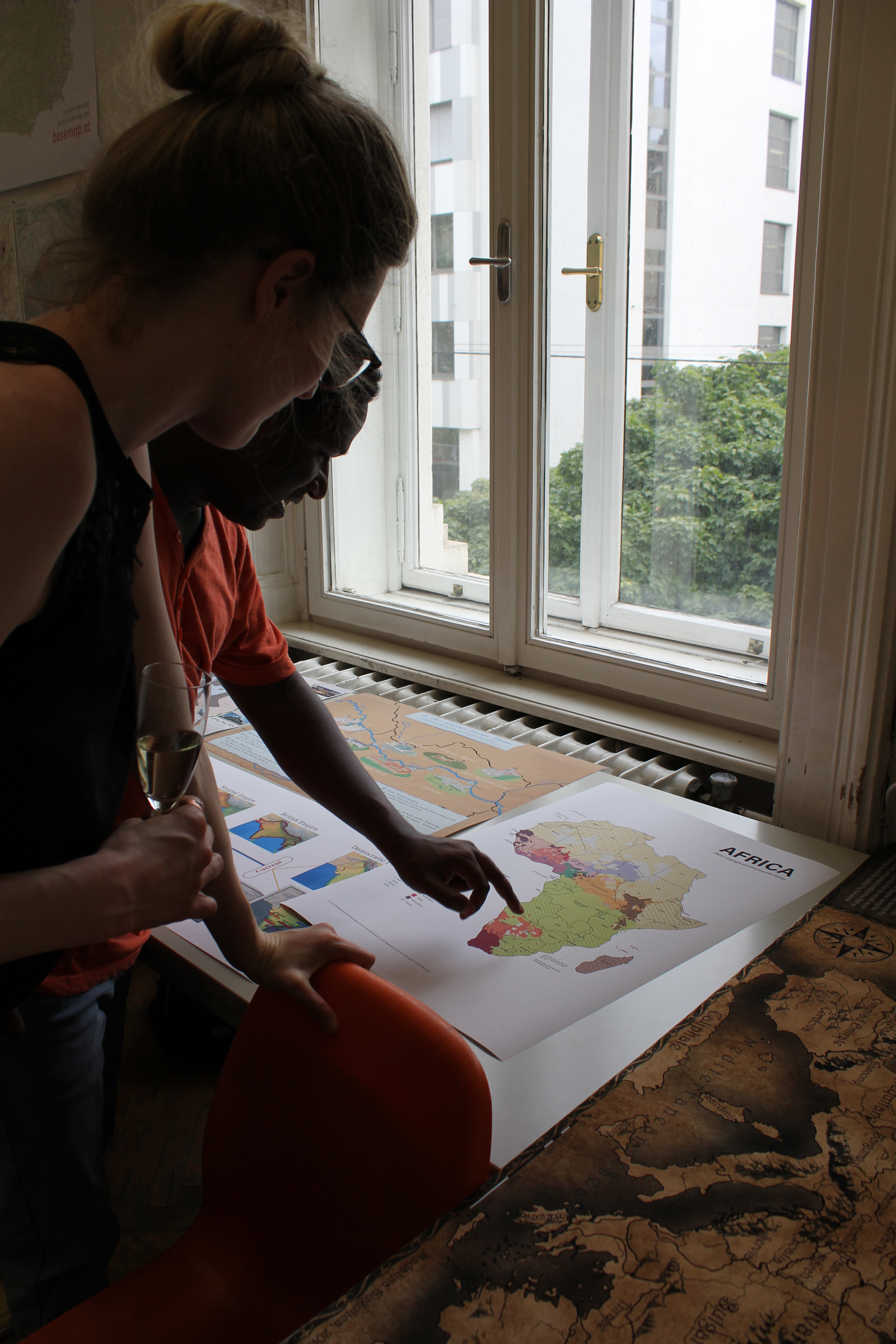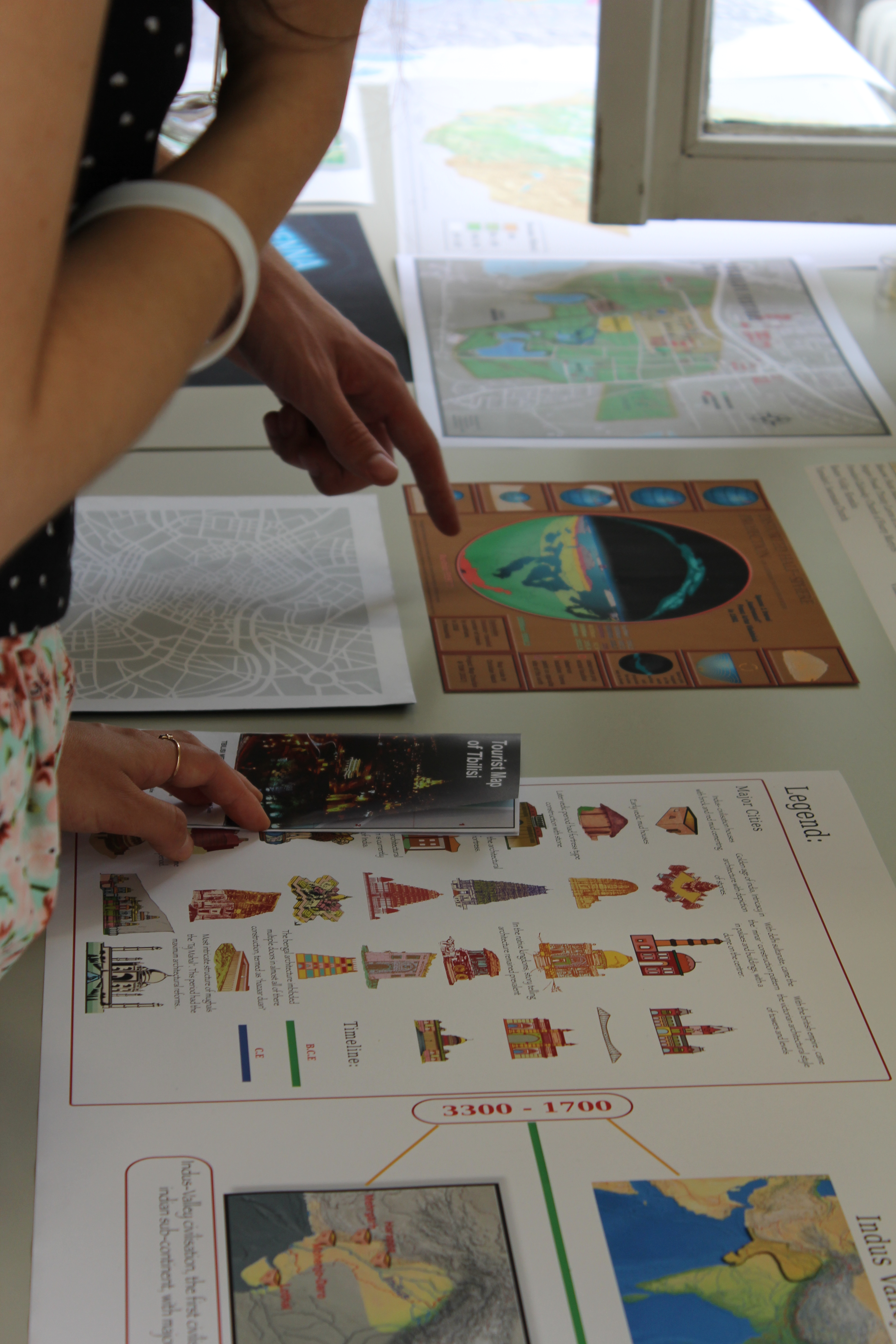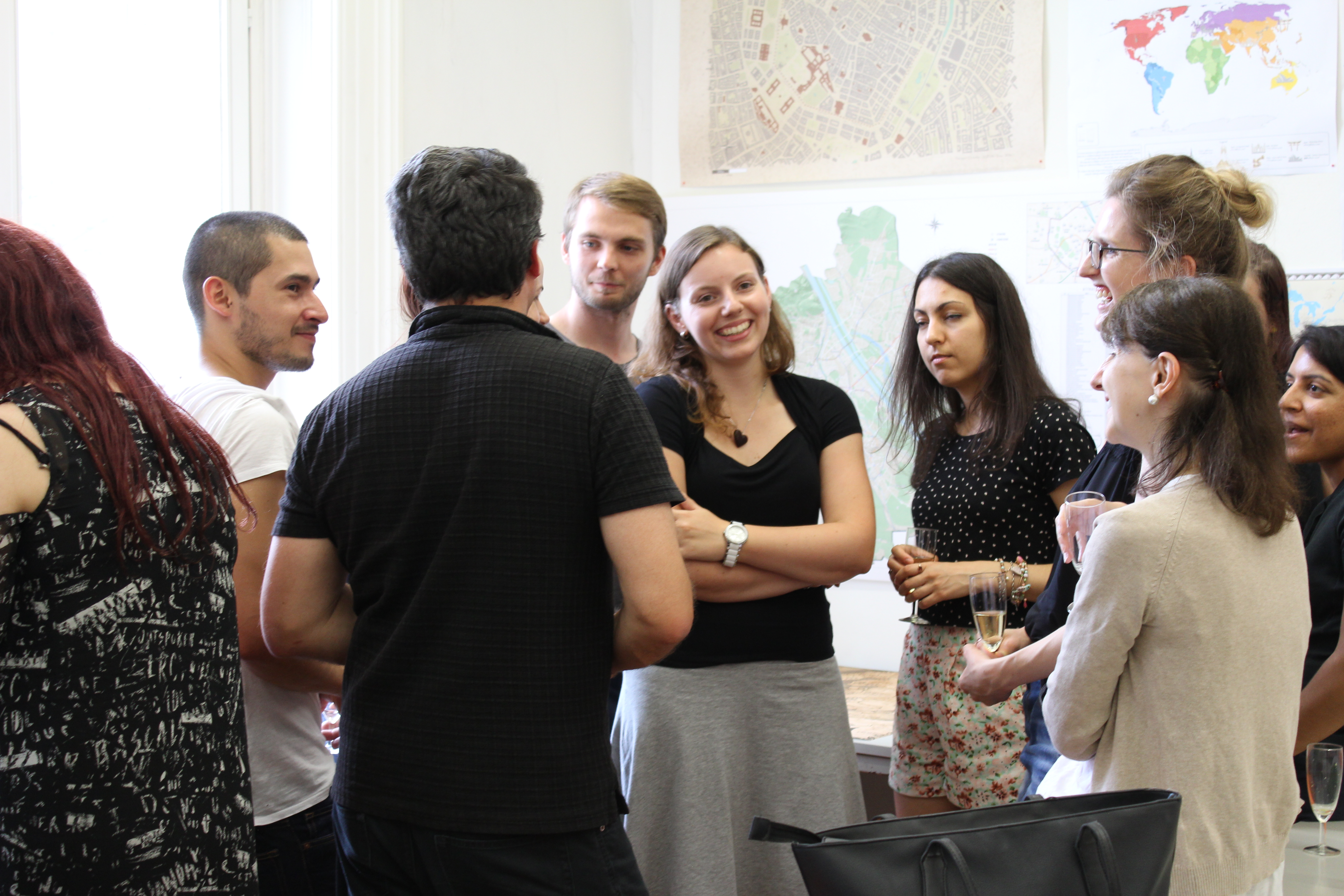

Farewell to the sixth intake of the International Master in Cartography

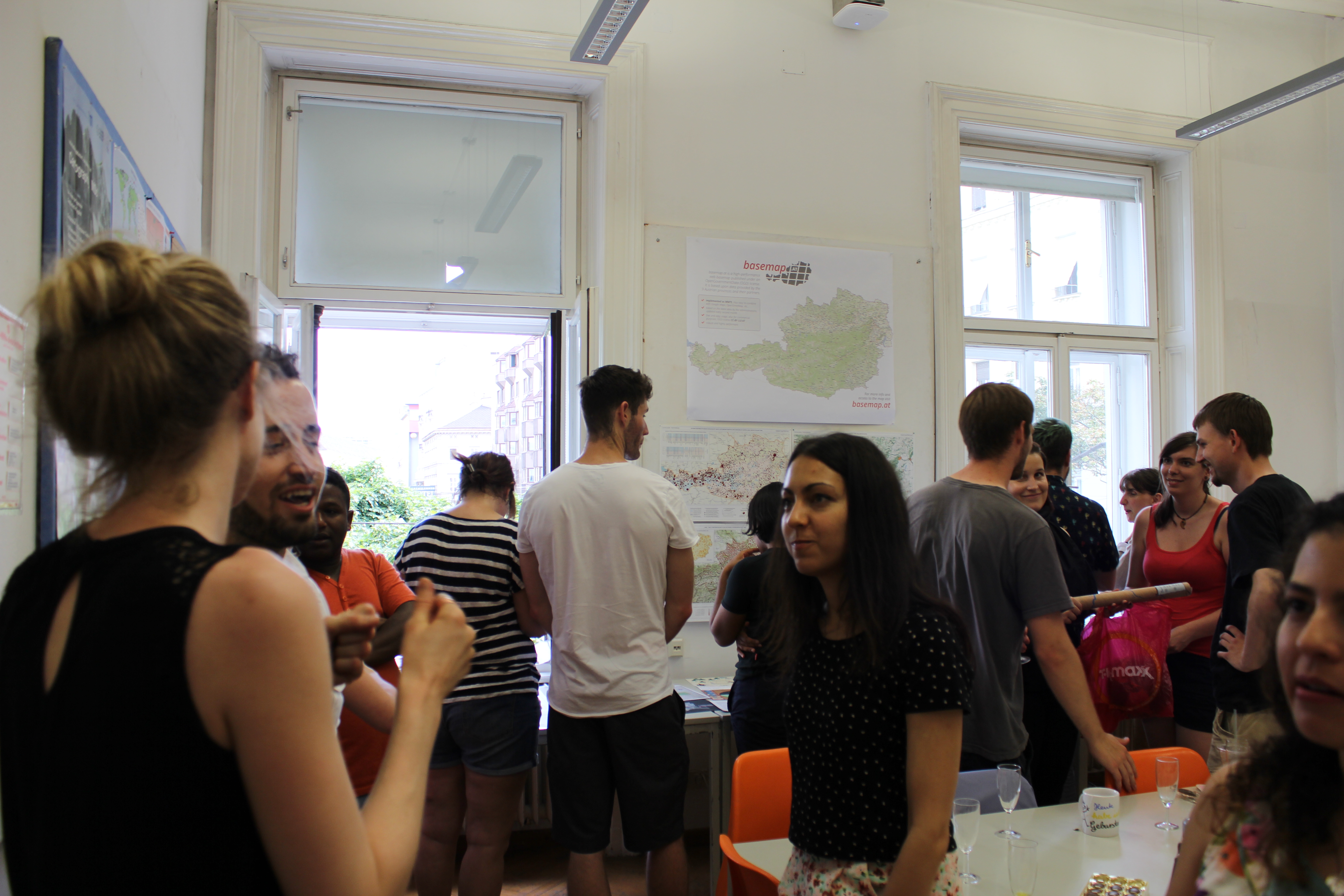
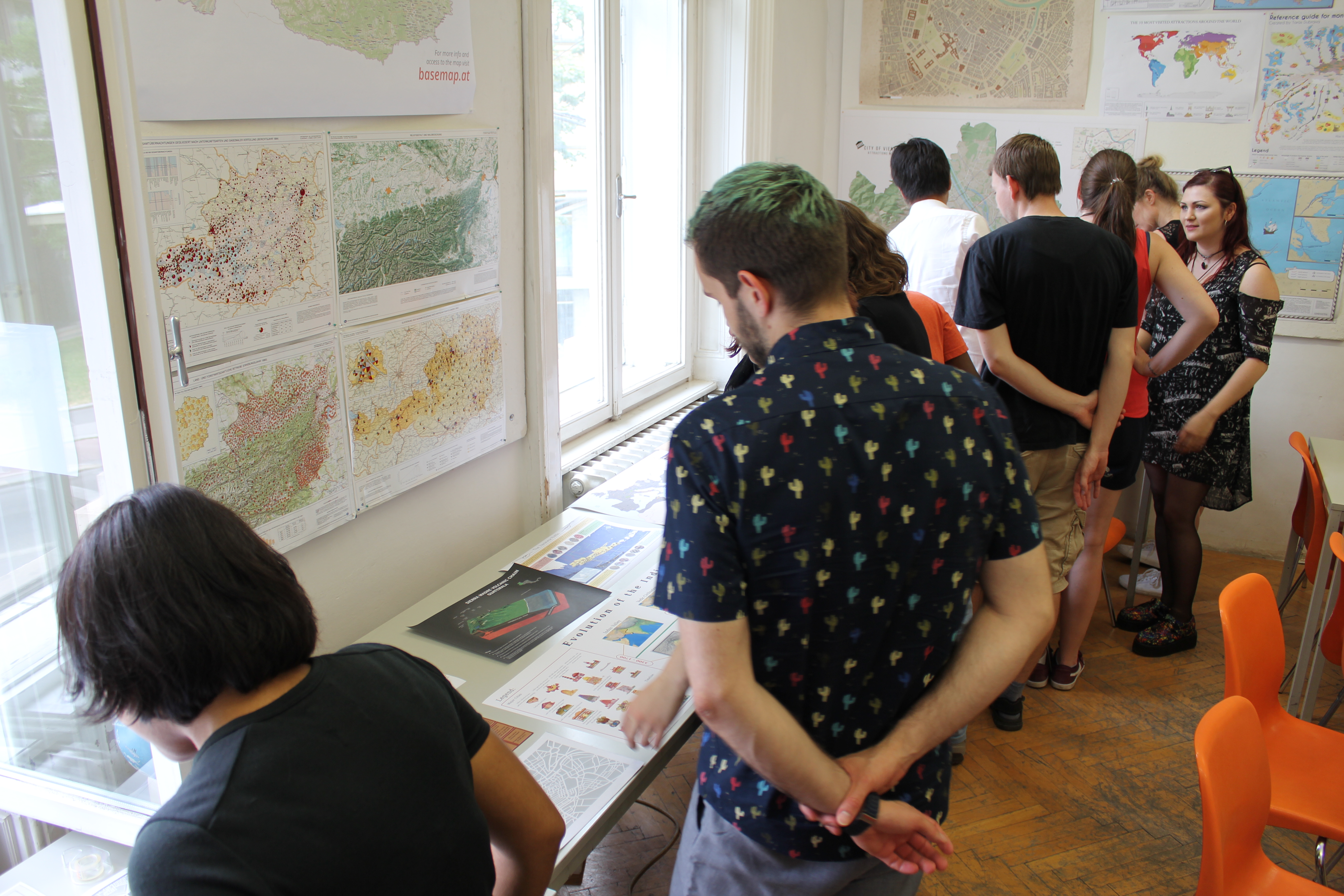
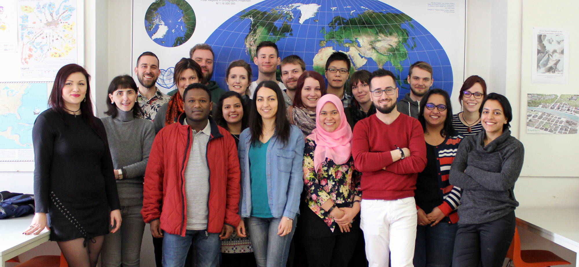
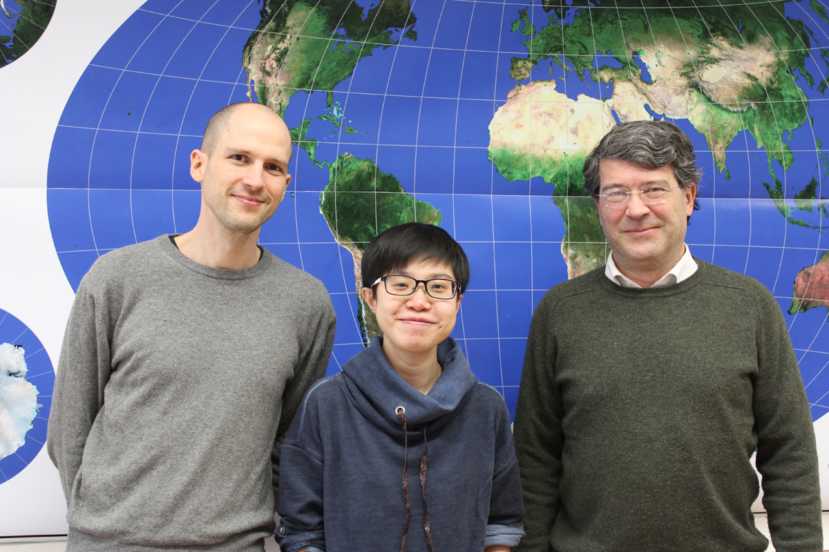
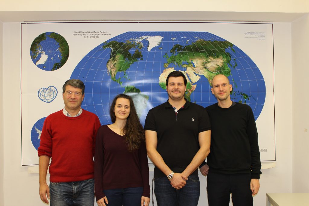
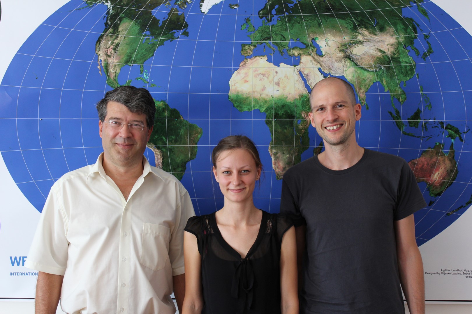
The sixth intake of the International Master Programme in Cartography has finished the “Vienna Semester” and is now heading to TU Dresden for the third semester. We organized a farewell session to review the semester and to showcase results of their hard work in this semester. 
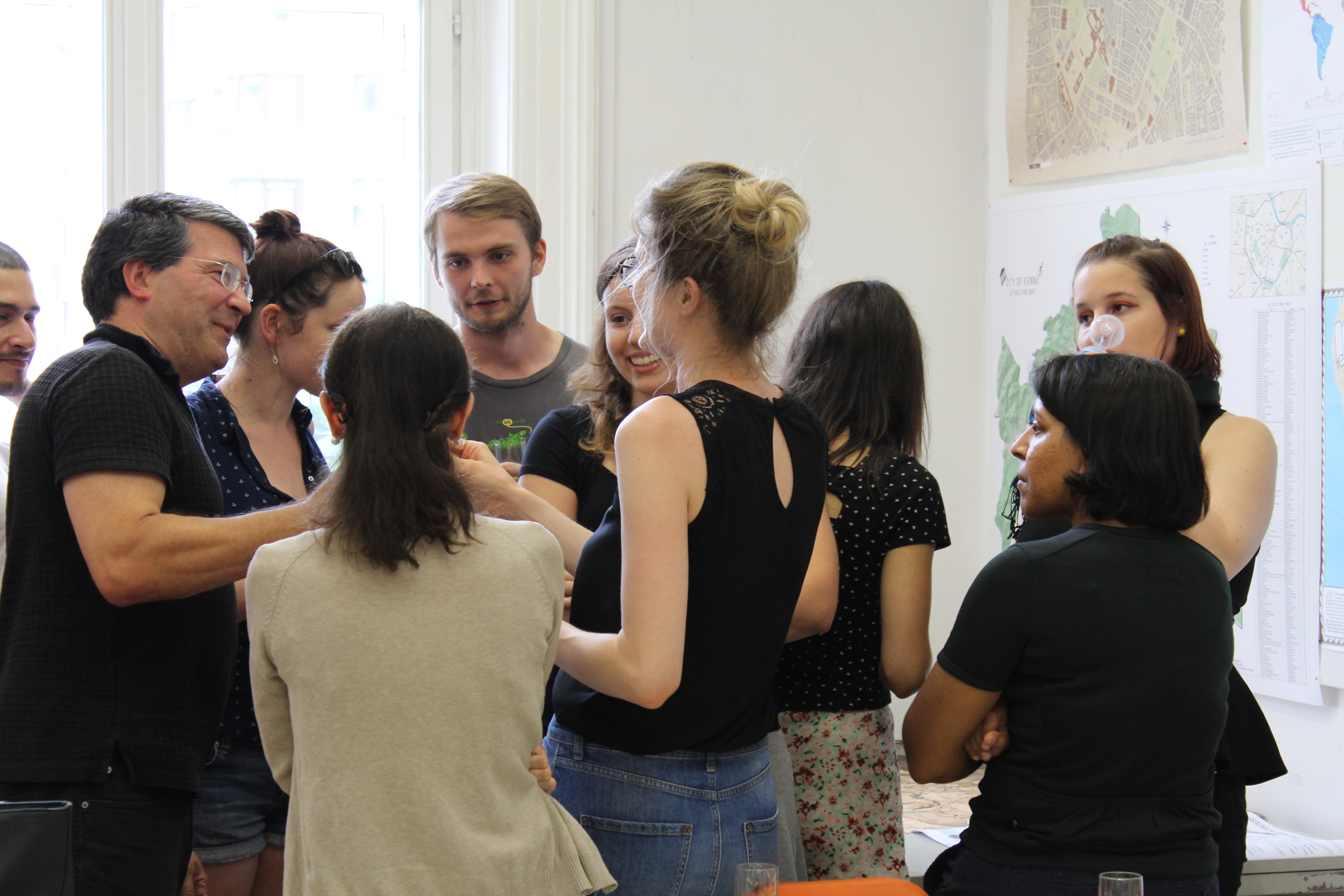
IMG_4574  IMG_4560  IMG_4564 IMG_4601  IMG_4596  IMG_4576  IMG_4614  IMG_4549  IMG_4613

We wish them all the best!

To find out more about the International Master in Cartography, please visit cartographymaster.eu.

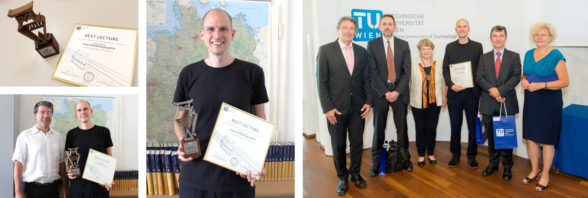
TUW’s “Best Lecture Award 2017” goes to Florian Ledermann


This summer term, TUW awarded the „Best Teaching Awards“ for the first time to acknowledge teaching staff for outstanding committment in university teaching. Students and members of TUW nominated lecturers and lectures that were particularly outstanding.

We are very proud to announce our staff member Florian Ledermann as winner of the faculty’s “Best Lecture Award 2017”! His lecture “Webmapping” distinguished as outstanding by its students based on the knowledge the students received, the didactic set-up of the class, and the particularly convincing lecturer.

Florian Ledermann - Best Lecture Award Winner 2017

Congratulations Flo to this well-deserved acknowledgment!


Welcome to the 6th intake of the International Master in Cartography

We are happy to welcome 20 students of the International Master in Cartography at TU Vienna for the summer semester 2017. Students come from all over the world, including Albania, Austria, Canada, China, Colombia, Croatia, Denmark, Ethiopia, Georgia, Germany, India, Indonesia, Ireland, Romania, Russia, and the USA.

IMC2017_1_1

After finishing their first semester at TU München, the students are now with us for their second semester, before they move to TU Dresden. We wish them a fun and successful semester!

To find out more about the International Master in Cartography, please visit cartographymaster.eu.
Neu: genderATlas für die Schule

Im Auftrag des Bundesministeriums für Bildung (BMB) wurde 2016 eine Didaktisierung des genderATlas vorgenommen. Der daraus entstandene genderATlas für die Schule wurde letzte Woche per Bekanntgabeerlass an alle relevanten Schulen ausgesandt.

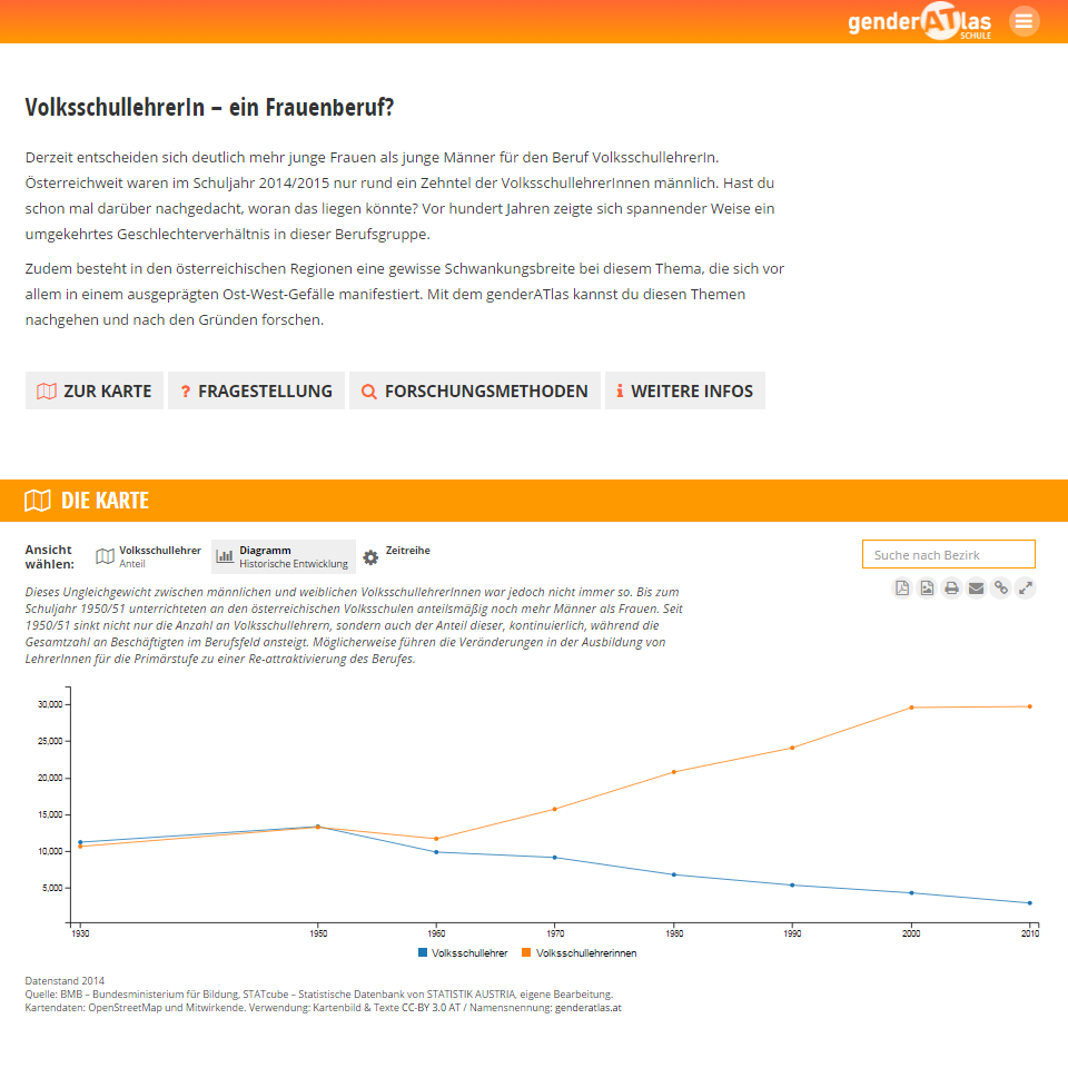
Screenshot aus dem neu entwickelten Beitrag VolksschullehrerIn – ein Frauenberuf?
Screenshot aus dem neu entwickelten Beitrag “VolksschullehrerIn – ein Frauenberuf?”. Der Beitrag enthält neben Kartendarstellungen auch ein Diagramm der historischen Entwicklung.

Ziel des genderATlas für die Schule ist es, Schüler/innen und Studierenden (Sek. I und v.a. Sek. II und PH) aktuelles und sehr anschauliches Informationsmaterial für eigenes forschendes Lernen zur Verfügung zu stellen. Der ATlas bietet insbesondere auch im Zusammenhang mit zu verfassenden wissenschaftlichen Arbeiten (z.B. der VWA in der AHS) ein sehr konkretes Instrument, da er vielfältige Rechercheimpulse, sowie Forschungsmethoden und -fragen bereit hält.

Den genauen Wortlaut des Bekanntgabeerlasses finden Sie hier.

Bachelor thesis presentations on Open Government Data and OpenStreetMap styling

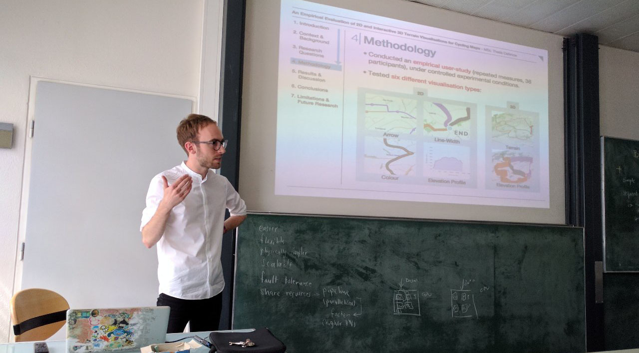
On November 11, two students presented their bachelor theses: Mariela Nazlamova presented her work “Open Government Data in Austria. Analyzing the Potential of Cartographic Visualization of Spatial Administration Data” (supervised by Gartner and Ledermann), and Christopher Kmen presented his work on replicating the basemap.at map style for OSM data.

For Mariela, this was the last step in completing her studies at TU Wien – congratulations and best wishes for your future career!

img_4093