Bachelor thesis presentations on Emotion Mapping

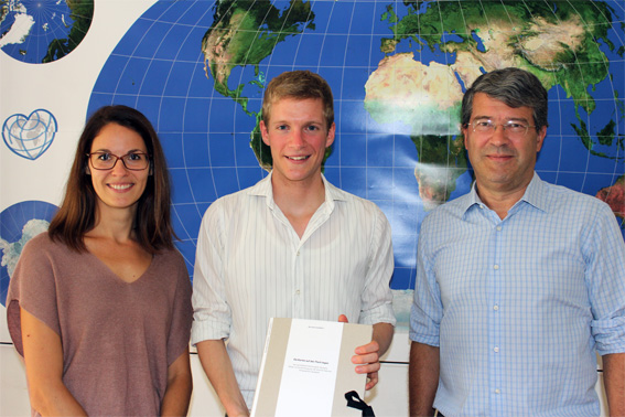
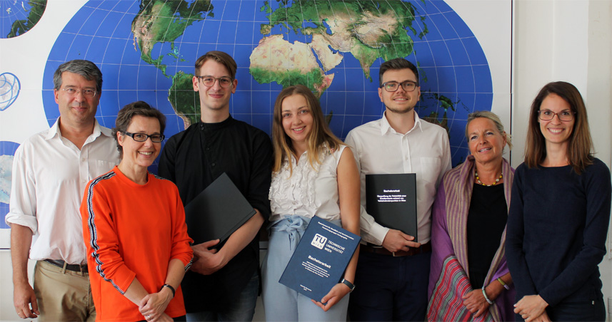
Congratulations to our students who successfully finished their Bachelor theses in the field of Emotion Mapping today:

  • Cristian Andronic: Überprüfung der Reliabilität einer Emotionskarte anhand von Verkehrsknotenpunkten in Wien
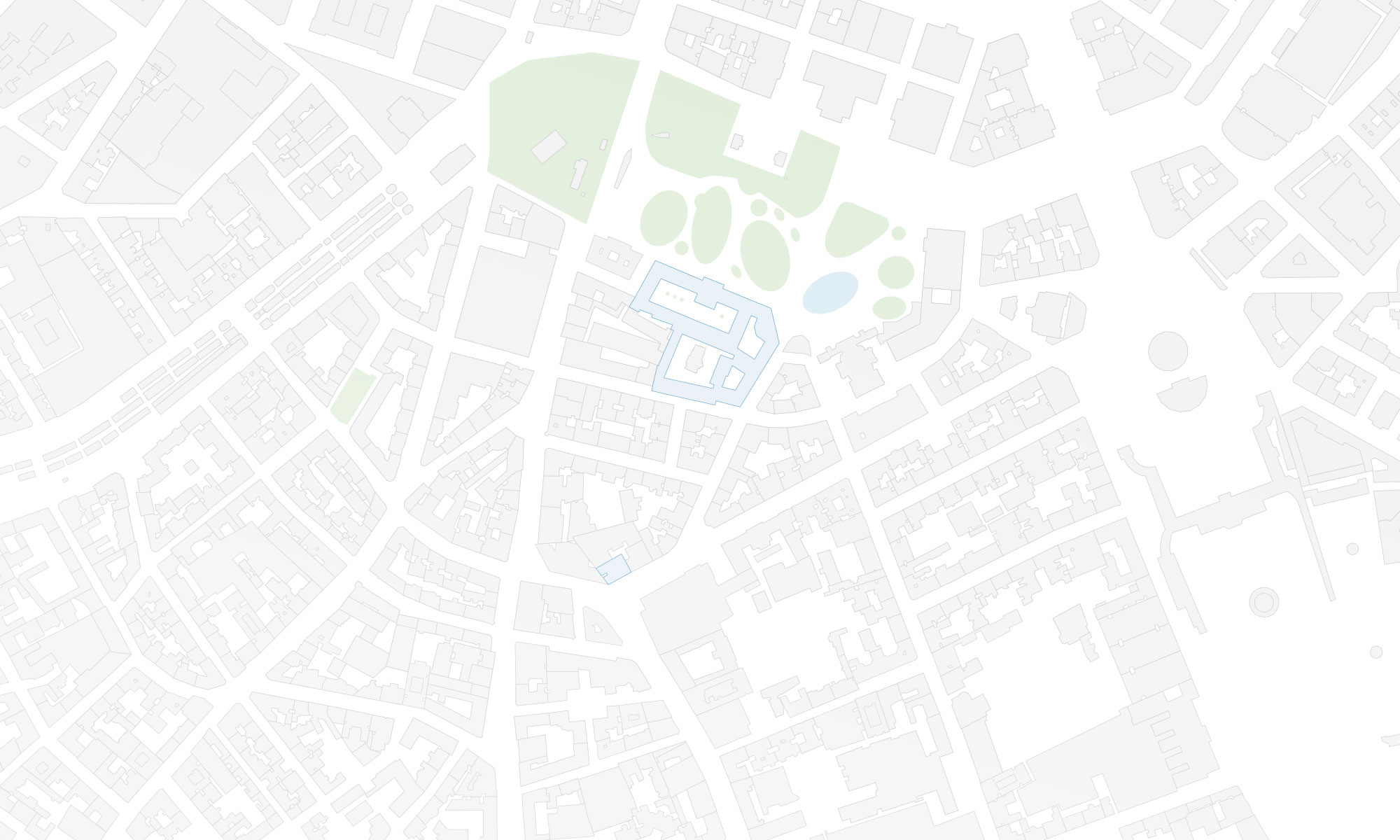
  • Gabriela Goranova:  Emotionale Raumgestaltung – Auf dem Weg zum Einsatz von Emotionen als Beteiligungsinstrument in der Stadtplanung am Beispiel des Wien Museum
  • Viktor Jauk: Überprüfung der Reliabilität einer Emotionskarte anhand von Wiener Stadtteilentwicklungsgebieten

Well done and best wishes for your future studies and careers!

A special thanks to our partners from Wien Museum, Sandor Békési, Isabel Termini, and Elke Doppler,  for their kind support and the excellent collaboration !

Florian Ledermann wins best paper award at GI_Forum 2018

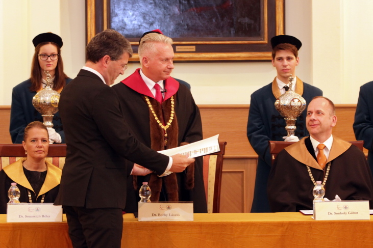
We are proud to announce that PhD candidate and lecturer Florian Ledermann has won the award for “Best Student Paper” at this year’s GI_Forum conference in Salzburg, Austria. The jury unanimously voted for his paper “Analysing Digital Maps Online: A Reverse Engineering Approach” and praised the author’s accomplishment of making the complex workings of online maps transparent to a wide audience. A preprint of the paper, which will appear in print later this year in the GI_Forum journal, is available here.

Congratulations!

Florian Ledermann with Adrijana Car (Editor of GI_Forum Journal). (Photo by Julia Stepan)

Great student maps from Project Map Creation, summer semester 2018

As in former semesters, we would like to showcase a selection of extraordinary student projects from this summer semester. The following maps are results from the class Project Map Creation.

Spanish Civil War in the Basque Country by Iñigo Etxeandia Rodriguez
Spanish Civil War in the Basque Country by Iñigo Etxeandia Rodriguez (jpg, 2.2mb)

Butterflies in Taiwan by Yuan Pei-Lun
Butterflies in Taiwan by Yuan Pei-Lun (jpg, 1,7mb)

Go for Mikulov by Jarmila Fucikova
Go for Mikulov by Jarmila Fucikova (front | back, jpg, 2.0mb)

Moving Ice? by Mengyu Liang
Moving Ice? by Mengyu Liang (jpg, 1mb)

Road to final by Mohamed Ibrahim
Road to final by Mohamed Ibrahim (jpg, 2.2mb)

Almaty – City of Apples by Kikkarina Altynay
Almaty – City of Apples by Kikkarina Altynay (jpg, 1.1mb)

Hexagonal World Map by Mariana Vallejo Velazquez
Hexagonal World Map by Mariana Vallejo Velazquez (jpg, 1.3mb)

Pictorial Map of Bangladesh by Nuzhat Tabasum Nawshin
Pictorial Map of Bangladesh by Nuzhat Tabasum Nawshin (jpg, 1.9mb)

National Parks of Poland by Agnieszka Mank
National Parks of Poland by Agnieszka Mank (jpg, 3mb)

Argentina's World Heritage by Zarina Acero
Argentina’s World Heritage by Zarina Acero (jpg, 1.3mb)

World Map of Coffee by Elifcan Ozyildirim
World Map of Coffee by Elifcan Ozyildirim (jpg, 2.5mb)

Results from other classes might be added later.

A huge thank you to all students for their hard work in this busy summer semester. Enjoy the summer!
Results from earlier semesters can be found here:
2017 | 2016 | 2015 | summer 2014 | winter 2014 | 2013 | 2012

Hike to Hermannskogel with students of the International Master of Cartography

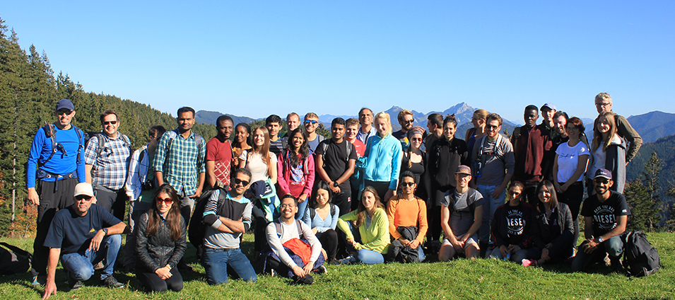
On June 16, students of the International Master of Cartography were invited on a hike to Hermannskogel. The hill is not only the highest peak of Vienna but also a geodetic fundamental point. The small exhibition at Habsburgwarte gave some insights into its history as the kilometre zero of cartographic measurements in Austria-Hungary.

Continue reading “Hike to Hermannskogel with students of the International Master of Cartography”

Farewell Benjamin Hennig

We are thankful for the guest lectures on Cartograms from Benjamin Hennig, Associate Professor of Geography at the Faculty of Life and Environmental Sciences of the University of Iceland and a honorary research associate at the University of Oxford. He researches social inequalities, humanity’s impact on Earth, global sustainability and the development of concepts for analysing, visualising and mapping these issues.

CartoTalk Sara Fabrikant: Responsive Geographic Information Displays to Support Mobility in the Digital Society

We are happy to announce our next CartoTalk by Sara Fabrikant
Department of Geography, University of Zurich, on 6 June 2018.

Abstract: We use increasingly dynamic and mobile graphic displays for every-day decision making tasks (i.e., daily commutes in congested cities), and to find solutions to and communicate about complex mobility behaviors. However, we still have a poor understanding on how autonomic nervous activity might influence the already limited perceptual and cognitive resources of display users, for example, in time critical situations or in dilemmatic decision-making contexts (e.g., navigation, disaster mitigation and response, search and rescue, etc.). In this talk, I will highlight ongoing empirical research on animated and mobile graphic display use in the lab and in the wild, capitalizing on ambulatory human behavior sensing methods (i.e., eye tracking, galvanic skin response, and EEG measurements). With this collected empirical data and supported by cognitive/vision theories we are guiding the process of designing user, task, and context responsive graphic interfaces for visual salience and positive engagement. In doing so, we aim to create usable and useful responsive displays to support space-time needs of the increasingly mobile digital citizen.

Dr. Sara Irina Fabrikant is a Professor of Geography and heads the Geographic Information Visualization and Analysis (GIVA) group at the GIScience Center of the University of Zurich (UZH). She is a co-director of the UZH Digital Society initiative and associated Fellow of the UZH|ETH|ZHdK Collegium Helveticum. Her research and teaching interests lie in visual analytics (geovis), GIScience and cognition, graphical user interface design and evaluation, including dynamic cartography. She is a current elected Vice President of the International Cartographic Association. Her service includes memberships and functions with Swiss Science Council, the Association of American Geographers, the North American Cartographic Information Society, and the Swiss Society of Cartography.

Wednesday, 6 June 2018, 11:00
Seminar Room 127
Gußhausstraße 27-29, 3rd floor

CartoTalk Nico Van de Weghe: Enrichment, mapping and querying of European traces

We are happy to announce a CartoTalk on 14 May 2018 by Nico Van de Weghe from Gent University.

Abstract: In this Cartotalk, the interdisciplinary projects UGESCO and EURECA will be presented. In this ongoing work, an interdisciplinary approach (Natural Language Processing, Computer vision, Metadata analysis, Spatio-temporal querying and visualization, and LBS) is followed. In this cartotalk, an overview of the project will be given (with specific focus on the Geo-ICT aspects), as well as avenues for future research and cooperation.

In UGESCO/EURECA, we focus on finding traces of European regions that have shaped the cities in which we live today, and we develop tools to easily explore them when visiting a city. Different historical, architectural, economic, political and cultural reasons form the base of these traces, and we use input from each of these domains to reveal the cultural heritage items that can be linked to these specific European regions/origins. The enriched metadata that is generated for the city archives and collections can be used as input to perform new fundamental research and applied studies, but also to facilitate the exploitation of the collections to a broader public and attract new groups of cultural heritage consumers. LBS that run on top of our enrichments, for example, will allow tourists to explore the traces of a specific European region (e.g. Austria) in the city (e.g. Ghent) and show them the collection items at their corresponding point of interest (POI) using their mobile device.

Nico Van de Weghe is professor in geomatics at the Department of Geography (UGent, Belgium). He is specialized in the tracking of moving objects; visualizing, analyzing and modeling of spatiotemporal information; and cognition and linguistics of moving objects. On the one hand, he has a broad experience in fundamental research with respect to handling moving objects (going from accuracy issues in data acquisition, over analyzing, reasoning, modelling and data-mining, towards visualizing and visual analytics). On the other hand, he gained a wide experience in setting up experiments in the area of Geographical Information Technology (e.g. research of the movement behaviour of persons at mass-events). Nico is author of more than 80 papers referenced on the Web-Science.

Monday, 14 May 2018, 10:00
Seminar Room 127
Gußhausstraße 27-29, 3rd floor