New topics for bachelor’s and master’s theses

Below is a list of possible topics for bachelor’s and master’s theses from our group. In case of interest, please contact the underlined supervisor.

Master: Kartenproduktion mittels unterschiedlicher GIS/DTP-Workflows

Die Anforderungen eines qualitativen Kartenerstellungsprozesses (z.B. für Wander- und Freizeitkarten großen und mittleren Maßstabes) erfordern derzeit noch den Einsatz unterschiedlicher Tools aus GIS- und DTP-Systemen. Mit einem österreichischen Kartenverlag sollen unterschiedliche Vorschläge zur Erhöhung der Effizienz im Produktionsablauf für kartographische Bearbeitungsprozesse erarbeitet werden.

  • Besondere Kenntnisse: Vorkenntnisse kartographischer Desktop Publishing Software (lllustrator, OCAD), GIS-Software (ArcGIS) von Vorteil
  • Besondere Erfordernisse: enge Verknüpfung mit einem oberösterreichischen Kartenverlag
    inkl. eventuellem Aufenthalt erwünscht
  • Betreuer: Gartner, Schmidt

Bachelor: Erstellen eines Basiskartenstils nach Vorlage einer bestehenden Karte

Die Stile einer bestehenden Basiskarte sollen zunächst systematisch erfasst (z.B. mit Hilfe von ScaleMaster-Tabellen) und im Anschluss mit OpenStreetMap-Daten umgesetzt werden.

  • Besondere Kenntnisse: Erfahrung mit OSM und Webmapping-Kenntnisse von Vorteil
  • Betreuer: Gartner, Schmidt

Bachelor: Vergleich frei verfügbarer Verwaltungsgrenzdatensätze

Mittlerweile gibt es eine Reihe frei verfügbarer Grenzdatensätze für Österreich. Von dem weltweit verfügbaren Datensatz Natural Earth über verschiedene aus OpenStreetMap abgeleitete Geometrien, bis hin zu Datensätzen aus administrativen Quellen (BEV, Länder-GIS). In der Arbeit sollen die Unterschiede der Datensätze (Qualität, Aktualität, Lizenz, Provenienz, Verfügbarkeit von Metadaten) herausgearbeitet und einfach verständlich unter CC-Lizenz aufbereitet werden.

  • Betreuer: Gartner, Schmidt, Ledermann

Master: Indoor route planning

Route planning is a basic element in navigation, and aims at computing an optimal route between an origin and a destination. Current indoor route planners often provide users with shortest routes. This research will explore methods to provide routes with other characteristics, such as simplicity and fewest-turns. The main building of TU Wien (or other similar public places) will be used as a test area.

  • Requirements: Interests in data modelling and analysis
  • Supervisor: Gartner, Huang

Master: Indoor semantic wayfinding

Currently, semantic-enriched navigation systems become more and more popular. Instead of providing metric-based route instructions such as “walk straight in 100 meters”, semantic-based navigation systems provide users with semantic-enriched instructions, such as “walk straight, pass the theatre, and walk to the crossing” or simply “cross the park”.  This kind of guidance is more natural to users, and can improve users’ navigation performances. However, current literature only addresses semantic wayfinding for outdoor environment, while the applications in indoor environment have not been approached. This research aims at answering some fundamental questions of indoor semantic wayfinding , such as “what is an indoor landmark?” and “what are the direction and motion concepts used in indoor naivgation?” Methodology and approaches (mainly, field user study) from our previous research project SemWay (mainly for outdoor, refer to the following papers for more details) will be reused for indoor environment. The answers to these fundamental questions can be assembled to build semantically enriched indoor navigation systems.

  • Requirements: Interest in empirical user studies
  • Supervisor: Gartner, Huang

Master: Diagrammatic Maps from OpenStreetMap Data

Rendering diagrammatic and small-scale maps, like depictions of country-wide road or railway networks, requires the generalization of overly detailed geometry as well as the consistent reproduction of network topologies of large geographic extent. In contrast to these requirements, data created in volunteered geographic information (VGI) systems like OpenStreetMap exposes a high level of local geometric and semantic detail, large individual differences in data annotation styles and fragile topological integrity.

The goal of this project is to develop methods for extracting the necessary information to create high-quality diagrammatic & schematic maps from VGI data, to identify relevant use cases and their specific requirements (e.g. road, rail, river networks), to review the literature for suitable approaches and to suggest guidelines for the volunteered geographic information community to improve the data to better support such representations if necessary.

  • Requirements: Scripting/Programmierung, OpenStreetMap-Erfahrung von Vorteil
  • Supervisor: Gartner, Ledermann

Master: NutzerInnen-Test linearer Zeit-Kartogramme

Im Gegensatz zu Isochronen sind lineare Kartogramme eine selten angewandte kartographische Methode. Mittels NutzerInnen-Test sollen die Stärken und Schwächen der Methode im Vergleich zur Isochronen-Darstellung ermittelt werden.

  • Besondere Kenntnisse: Interesse an empirischen NutzerInnen-Studien, Programmierkenntnisse von Vorteil
  • Besondere Erfordernisse: hohe Eigeninitiative
  • Betreuer: Gartner, Schmidt

Master thesis presentation by Jan Behrens

Georg Gartner, Jan Behrens, Manuela Schmidt

On 21 August 2014, Jan Behrens, student from the International Master in Cartography (2011 intake), successfully completed his master studies by presenting his thesis on the topic of

„Testing the Usability of OpenStreetMap’s iD Tool“

Congratulations, Jan!

His thesis can be online accessed from the TU library.

Unfortunately, Corné van Elzakker from ITC Enschede, who was as an external supervisor for Jan’s thesis could not attend the presentation. We would like to thank him for his excellent support and are looking forward to future cooperation!

International Master in Cartography selected for Erasmus+

International Master in CartographyI am happy to inform you that the International Master Programme Cartography – our joint master degree in cooperation with TU Munich, TU Vienna and TU Dresden focusing on modern cartography – has been selected for Erasmus+ by the Education, Audiovisual and Culture Executive Agency. Out of 58 submitted applications, we are one of 9 successful joint master degrees in the “Erasmus Mundus” section.

This means that the International Master in Cartography will be supported by the European Union’s Erasmus+ programme, allowing also the University of Twente to join in. The 5 year grant will help to support a preparatory year (starting in October 2014), followed by three student intakes (2015, 2016, 2017).

The evaluation pointed out the excellence of the exisiting teams in Munich, Vienna and Dresden as well as the professional structure and cooperation. It was also highlighted that the “unique selling point” in offering a Master Programme in Cartography is seen as a most successful strategy.

– Georg Gartner

Welcome Timea, Florian and Wangshu

We are happy to introduce our new team members: Timea Turdean, Florian Ledermann and Wangshu Wang. Timea and Florian will both work in the genderATlas project.

Portrait Florian Ledermann
Florian Ledermann started working in our group in June. He has previous research experience in the fields of virtual/augmented reality and information visualization. As a freelance web developer, Florian implemented award-winning web applications for several institutions and independent projects. In the genderATlas project he is responsible for building the technical framework for the atlas.

Portrait Timea Turdean
Timea Turdean started working in our group in May. She wrote her diploma thesis on the topic of Identifying people’s affective responses to the environment from social media data. In the genderATlas project she focusses on social media data analysis.

Portrait Wangshu Wang
Wangshu Wang completed the International Master in Cartography. She wrote her diploma thesis on the topic of Modeling individual’s familiarity of places using social media. She received a PhD scholarship from China Scholarship Council and will work in our group on her PhD in the field of location-based services and cartography.

Welcome!

Great student projects, summer semester 2014

The summer semester is over. Once again, we would like to showcase a small selection of extraordinary projects from the classes Webmapping, Multimedia Cartography and Project Map Creation:
Preview of the map Historic Centre of Granada by Francisco Porras Bernárdez, Project Map CreationPreview of the map of Humboldt’s Expeditions in America by Sigita Grīnfelde

A huge thanks to all students for their creativity and dedication – you brighten our work days! Good luck for your further studies and career!

Maps for the Austrian contribution to LaBiennale 2014

The Austrian contribution to this years Biennale is commissioned by Dr. Christian Kühn, professor at the Institute of Architecture and Design at TU Vienna. The subject of the exhibition is “Plenum. Places of Power” and showcases models of all parliaments of the world – in a scale of 1:500.

We are proud to have contributed a small aspect: Manuela created the country maps for the exhibition catalogue. The maps are equal area (Albers projections centered on each country) and are centered on the cities, where the parliaments are located.

You can skip through some catalogue pages on issuu.com:

Here are some details on how the 196 country maps were created: We used Natural Earth data (1:50m), which also include ISO country codes. These codes were used for merging the country maps with the data provided by the catalogue team. For creating the latitude/longitude lines, we used QGIS Processing and a small Python script written by Markus Mayr from the Geoinformation group. We then experimented with the Atlas feature from QGIS and Data Driven Pages from ArcMap. Both tools are extremely powerful for creating map series. While the usage of Data Driven Pages is really straight-forward, QGIS allows even more adaptation – with a slightly more complex setup. We ended up using ArcMap for the final PDF production, since QGIS doesn’t allow CMYK output yet. Of course, the PDF from QGIS could also be converted to CMYK later.

Anyways: It was a perfect task for trying out the map series functionalities of QGIS and ArcGIS. It’s good to see the growing set of features for cartography in QGIS. A big thanks to Markus Mayr and Werner Macho for their advise.

More details on the Austrian pavillon at LaBiennale 2014 can be found on labiennale.at.
The impressive visual identity of the whole project was created by buero bauer.

CartoTalk Dušan Petrovič: Cartography in Slovenia

We invite you to a CartoTalk [in English] by Dušan Petrovič of the University of Ljubljana on the topic of Cartography in Slovenia.

He will talk about the historical development of cartography on today’s Slovenian territory from 15th century, cartographic tradition in Slovenia and the establishment of cartographic systems after 1991 and their current status. He will also report on current cartographic research projects, research work and student’s products at the University of Ljubljana, Faculty of Civil and Geodetic Engineering.

Tuesday, 03 June 2014, 15:00
Forschungsgruppe Kartographie
Seminarraum 126

CartoTalk Mark Wigley

We invite you to a CartoTalk [in English] by Mark Wigley from Esri Switzerland on the topic of

Challenging Cartography in ArcGIS with the Carto-Tools from Esri Switzerland

Esri – the leading international supplier of GIS software – has often in the past been shunned by the Cartographic community as concentrating too much on GIS and too little on cartography. Since the arrival of Cartographic Representations in the software ArcMap 9.2 Esri has put considerable effort into responding to this criticism and have since come a long way. This effort has been driven by the fact that the National Mapping Agencies (swisstopo, BEV etc.) are now starting to use their GIS systems to produce the National map sheets instead of using a graphic based software solution. Esri Switzerland has taken the Cartographic possibilities offered by the base software and gone one step further. Together with swisstopo a number of Cartographic processes and tools to help automate map production have been developed. This lecture will explain these Cartographic processes and a demonstration based on Open Street Map data will be given as how they can help produce a more pleasing cartographic result and optimise a production workflow.

Tuesday, 06 May 2014, 17:15
Forschungsgruppe Kartographie
Seminarraum 126

Presentation slides

Mark Wigley studied Geographical Techniques in Luton College of Higher Education in England. After over 7 years working in the conventional cartography in both England and Switzerland he moved into desktop digital cartography at Kümmerly+Frey, the then biggest private mapping company in Switzerland. After a further 3.5 years he moved to Hallwag where he started as head of digital cartography the job of building a seamless European database using the existing paper maps. He went on, to become head of the Cartography department where he remained for over 11 years. He next moved into the software arena working 3.5 years for the Mapping Software company Morelli Informatik before finally moving to Esri Switzerland in the Autumn of 2011.

Ph.D. defense of Alexandra Millonig

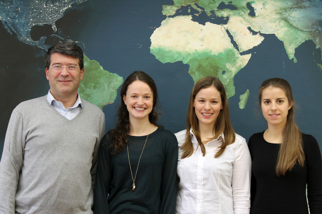
Prof. Kanonier, Dr. Millonig, Prof. Dangschat, Prof. Gartner

On 19 March 2014, our former colleague Alexandra Millonig successfully defended her PhD research on the topic of

„My Way – Towards a Typology of Pedestrian Spatio-temporal Behaviour in Shopping Environments“

Her examination committee included Prof. Georg Gartner, Prof. Jens Dangschat, and Prof. Arthur Kanonier. Prof. Kanonier chaired the examination committee.

Congratulations, Dr. Millonig!