The Austrian national radio station Ö1 joined LBS2019 to capture the latest developments and ongoing research on Location Based Services: “Die Tücken der elektronischen Karten – Wie GPS die Welt(sicht) verändert” (starting at 19:18) is available in German until 29.11.2019, with interviews with Gartner Gartner, Georg Molzer, and Anita Graser.
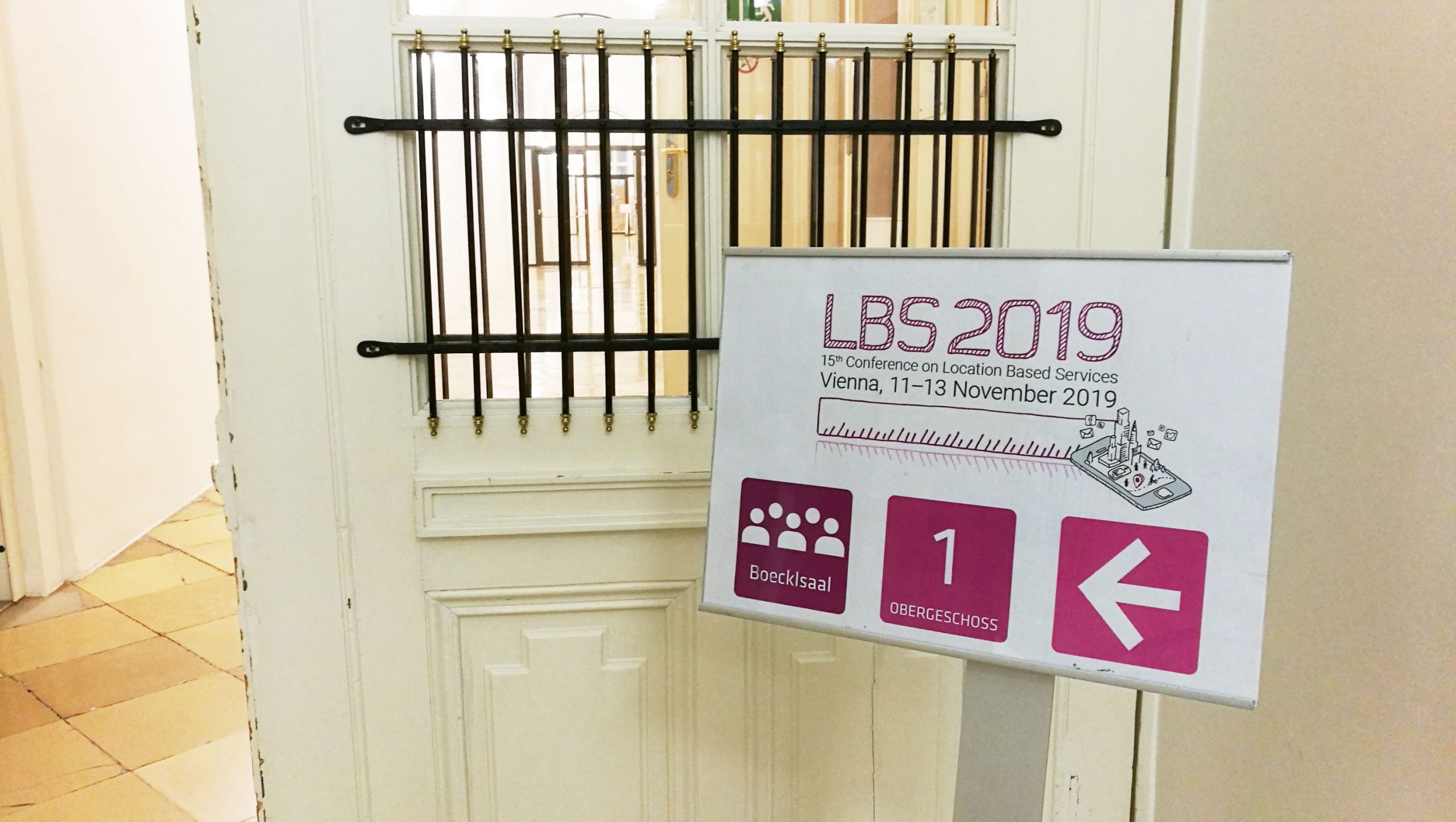
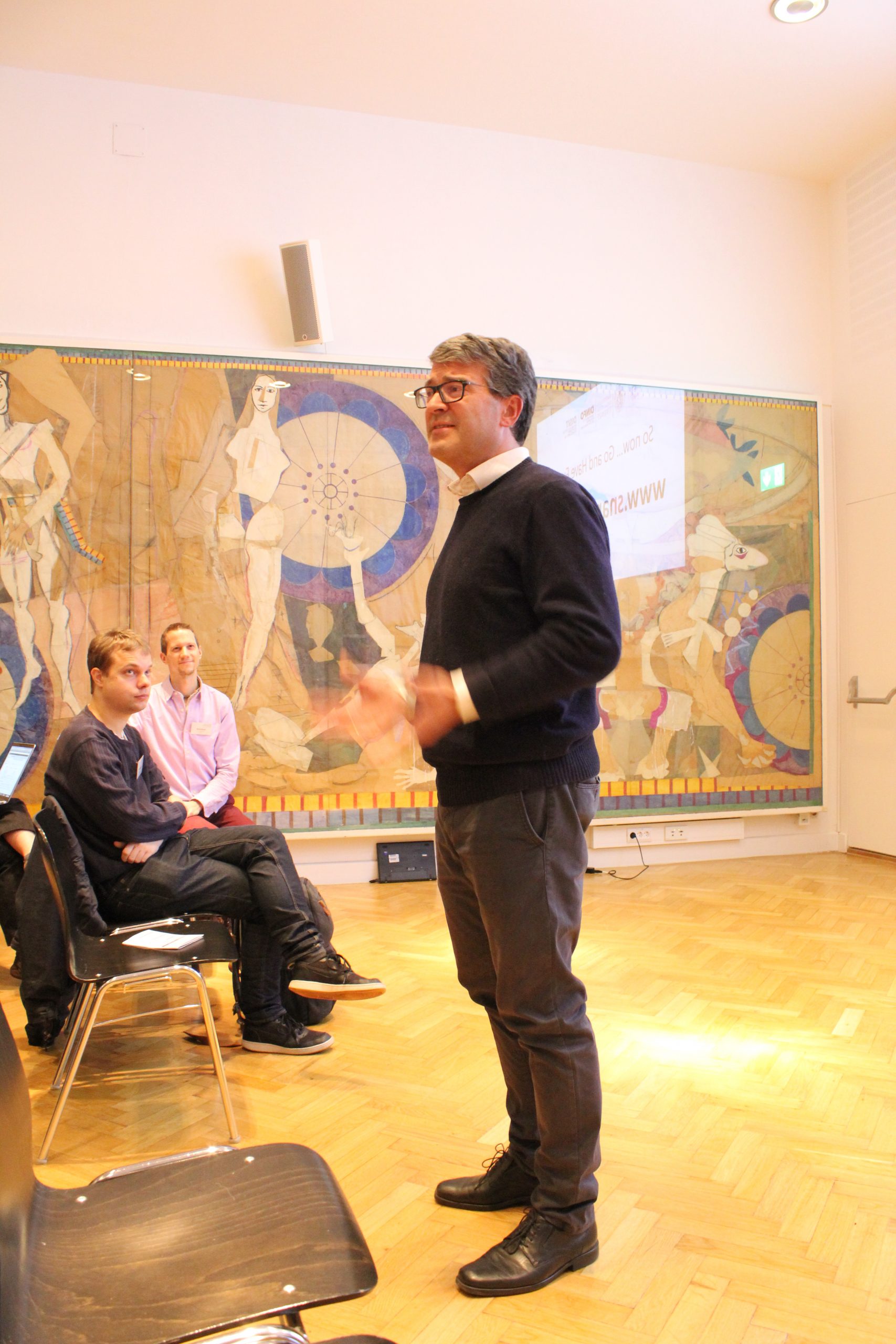
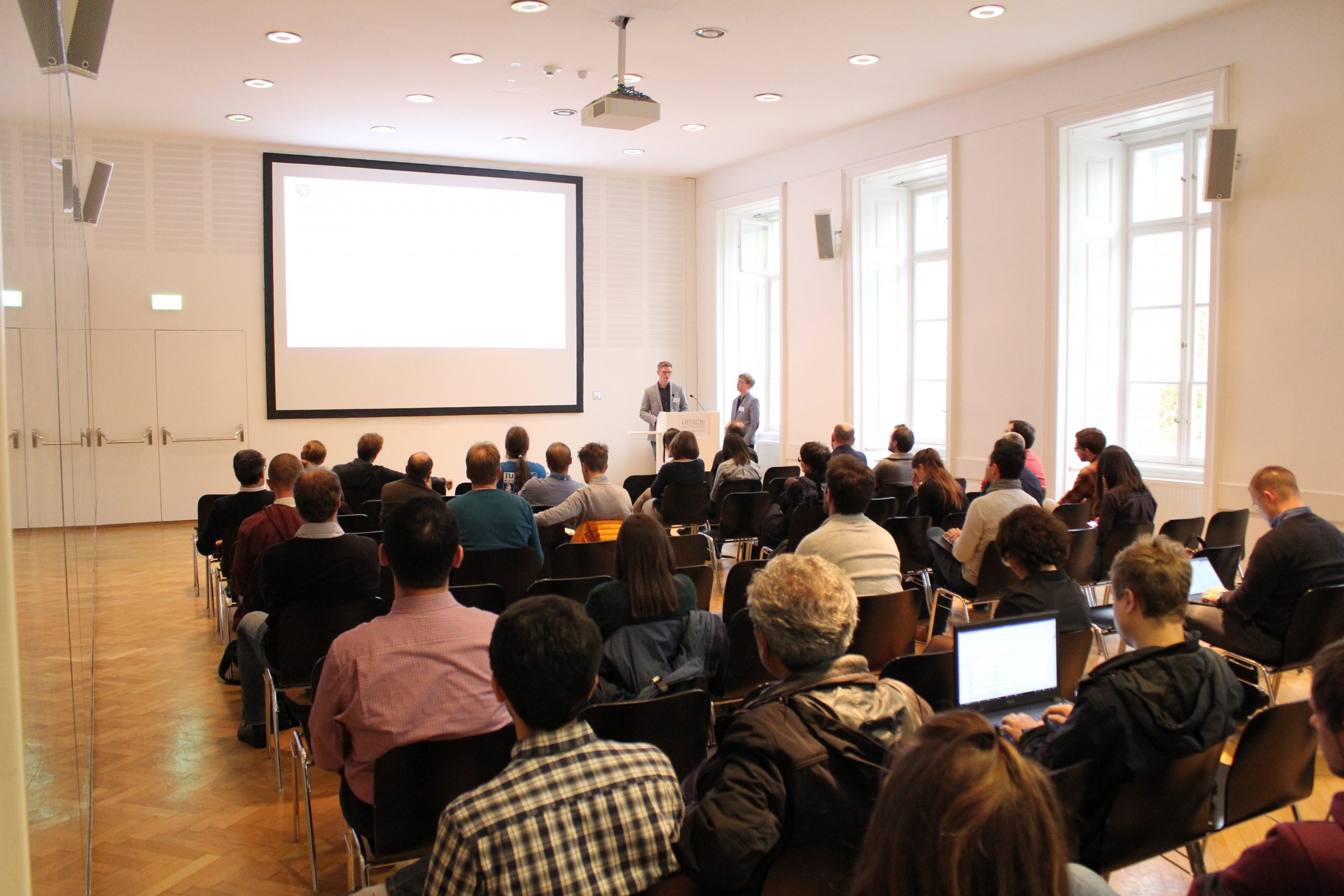
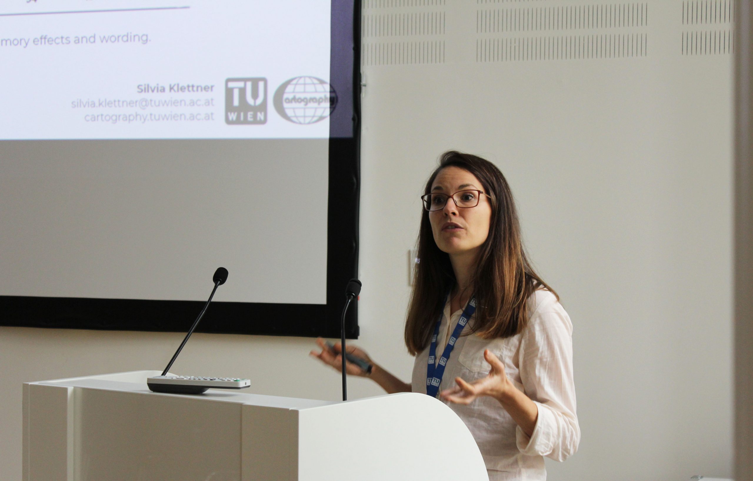
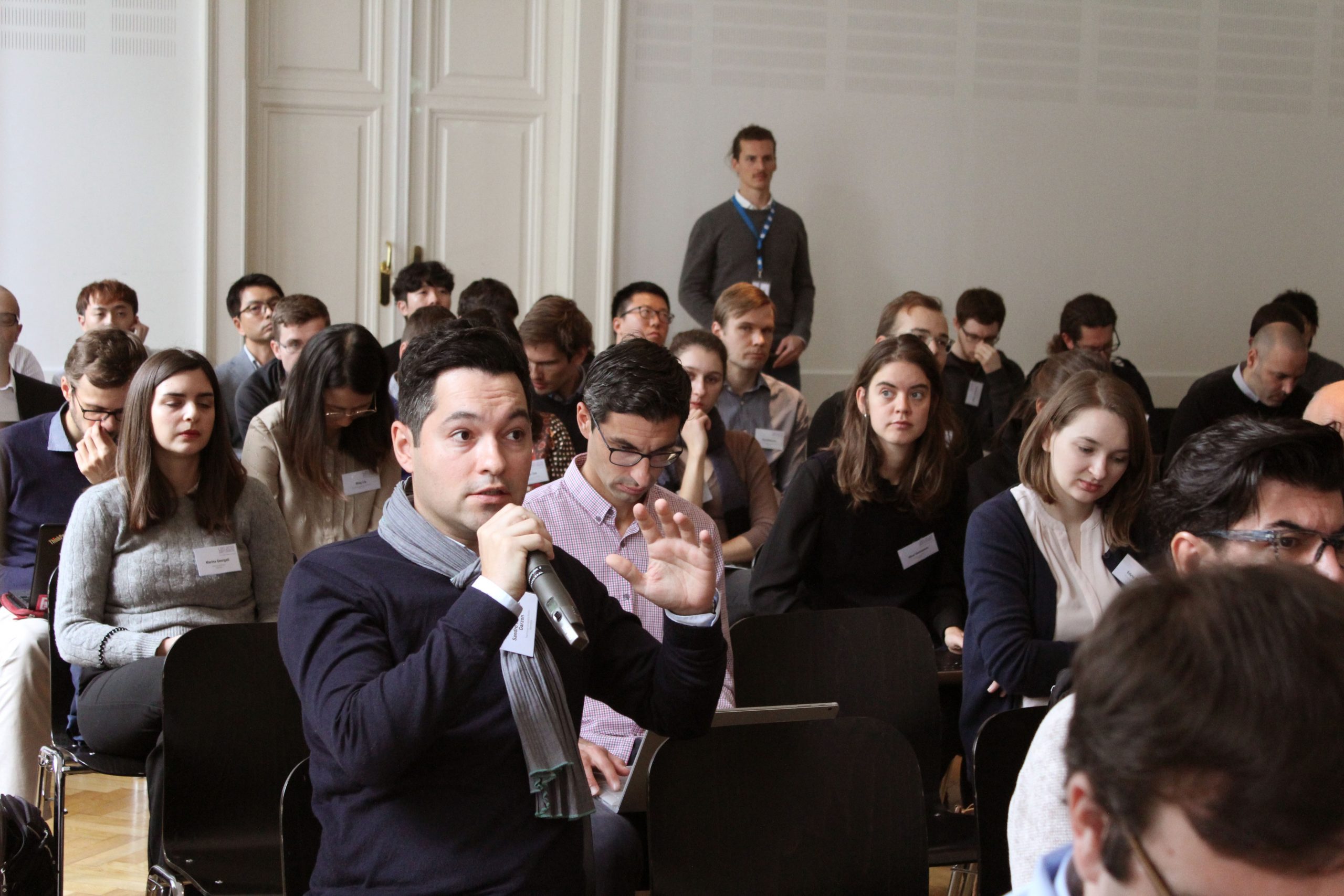
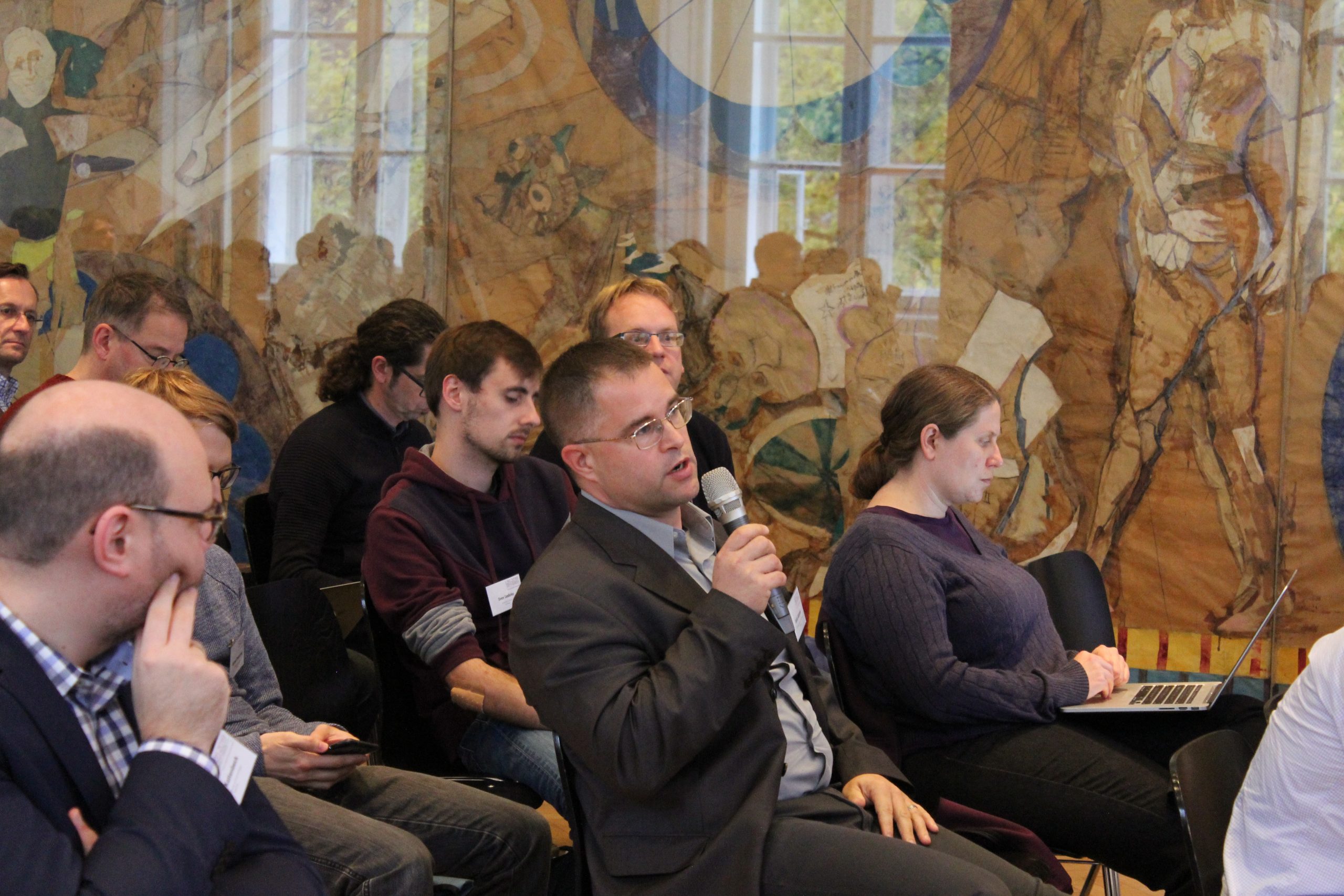
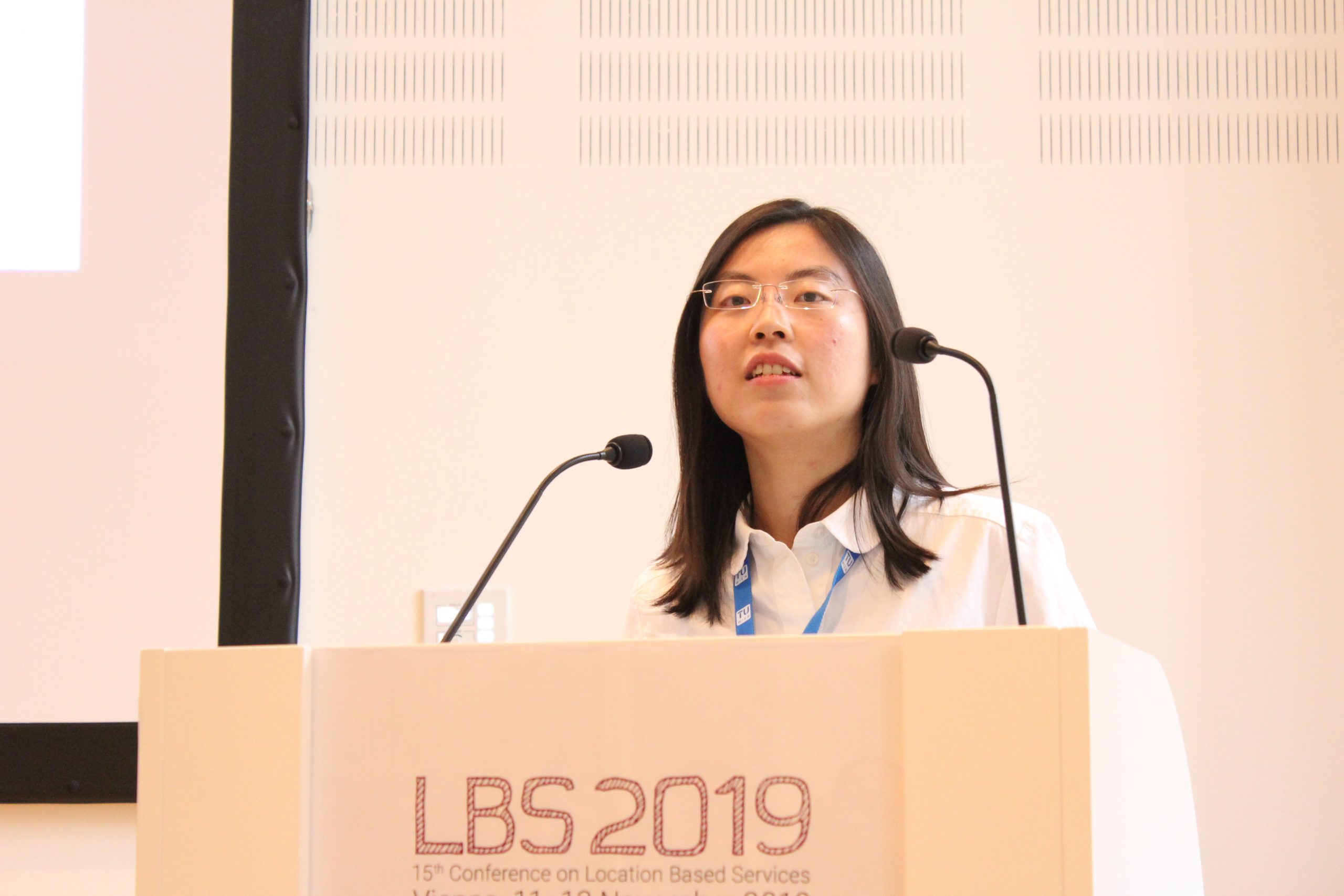
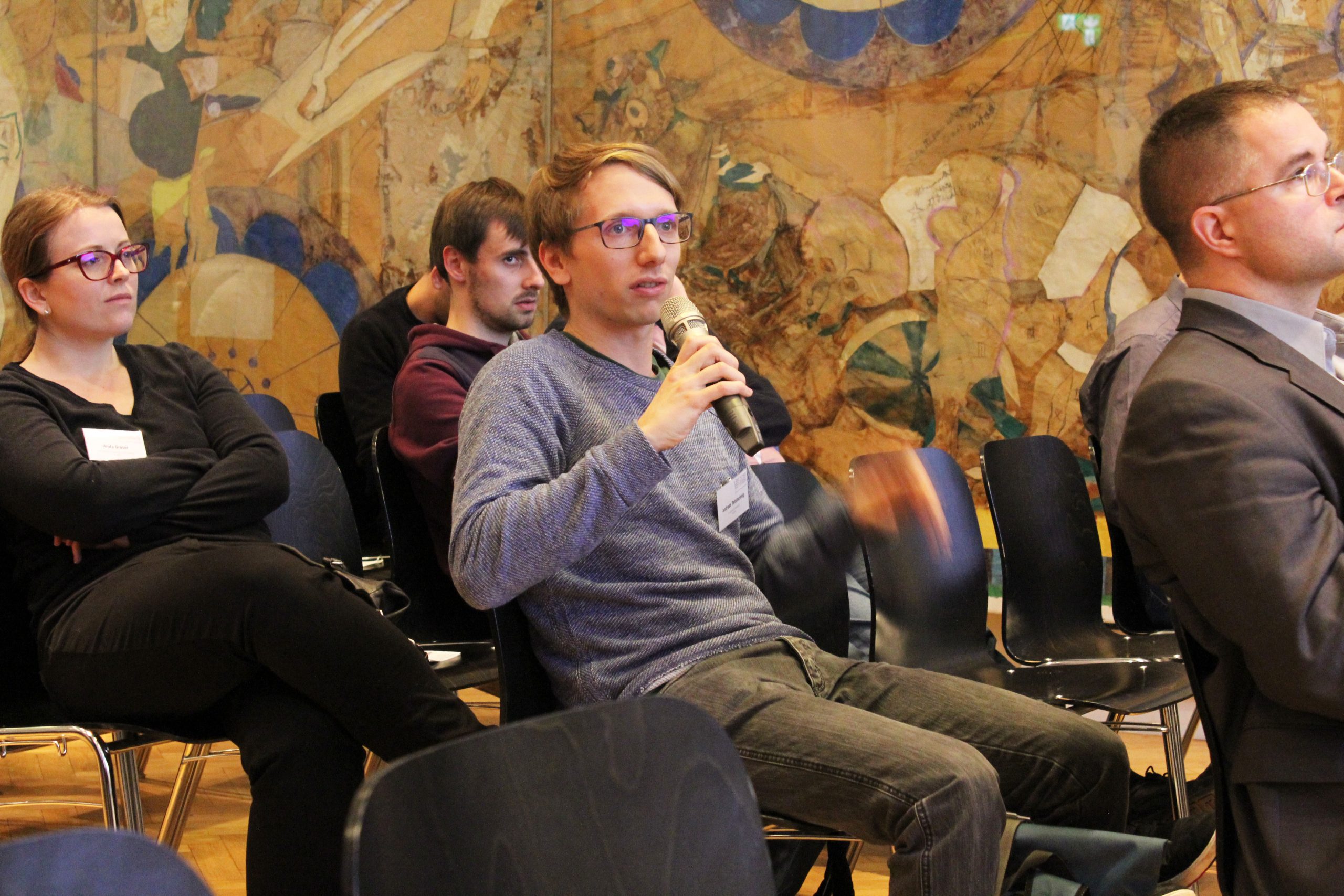
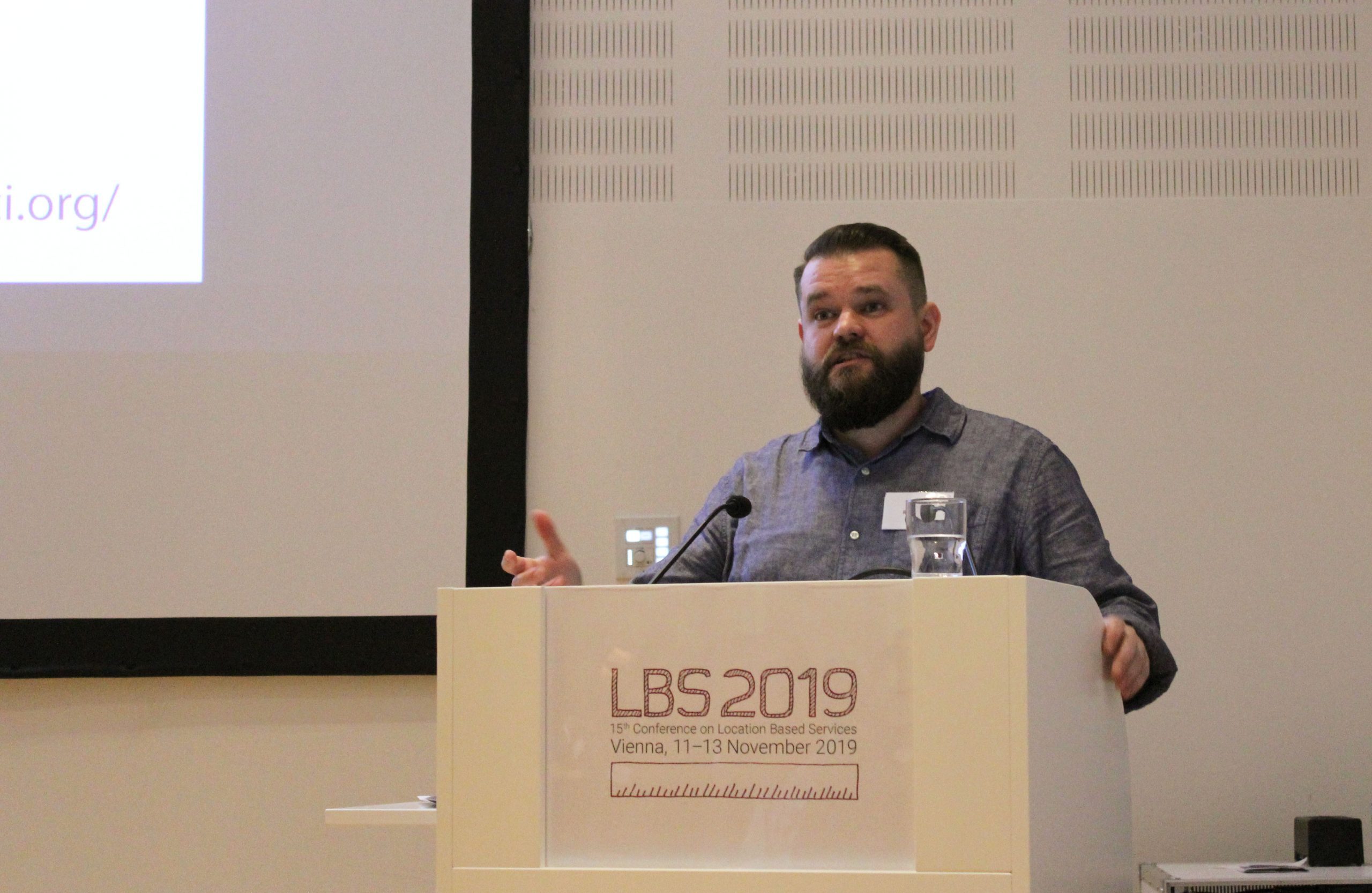
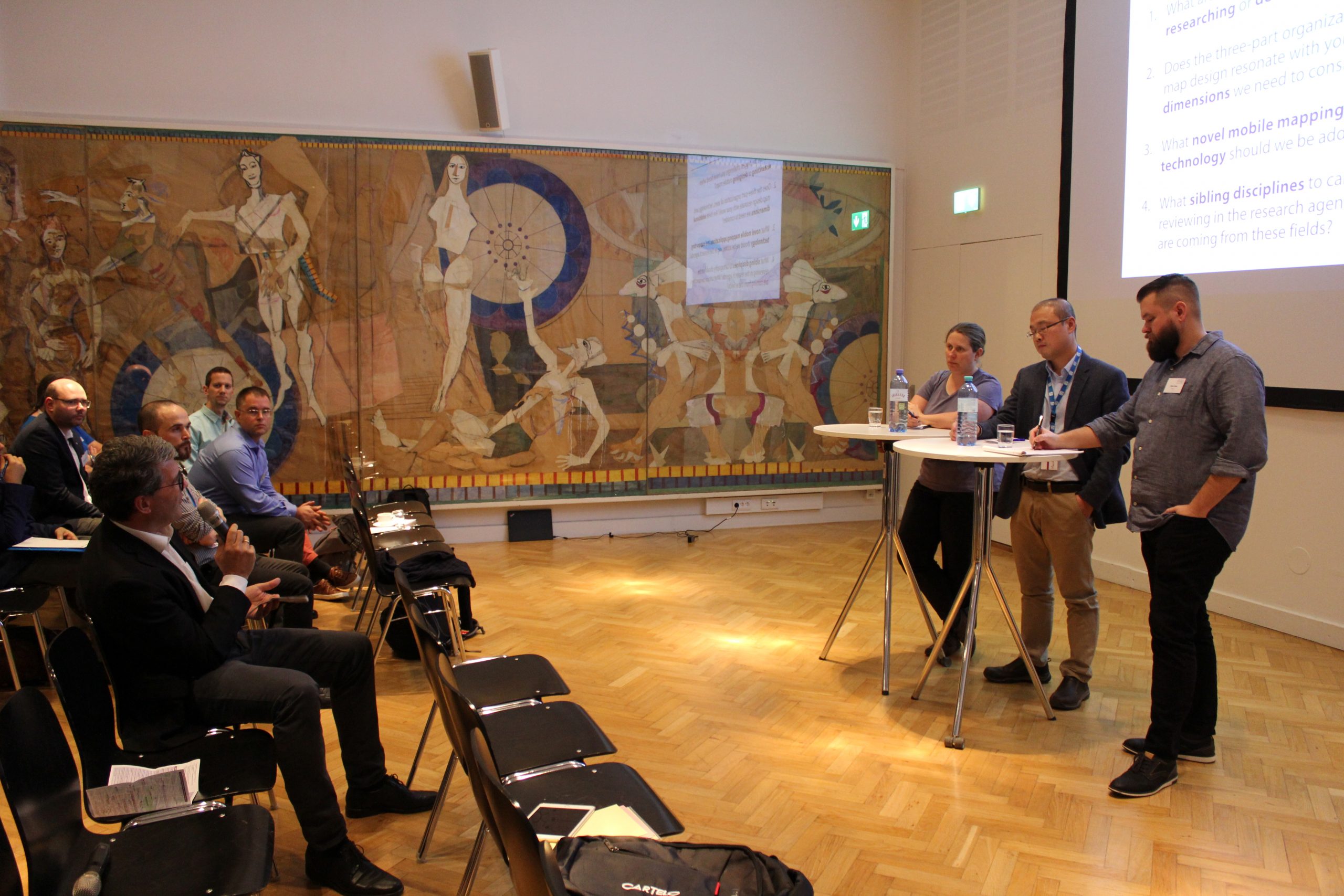
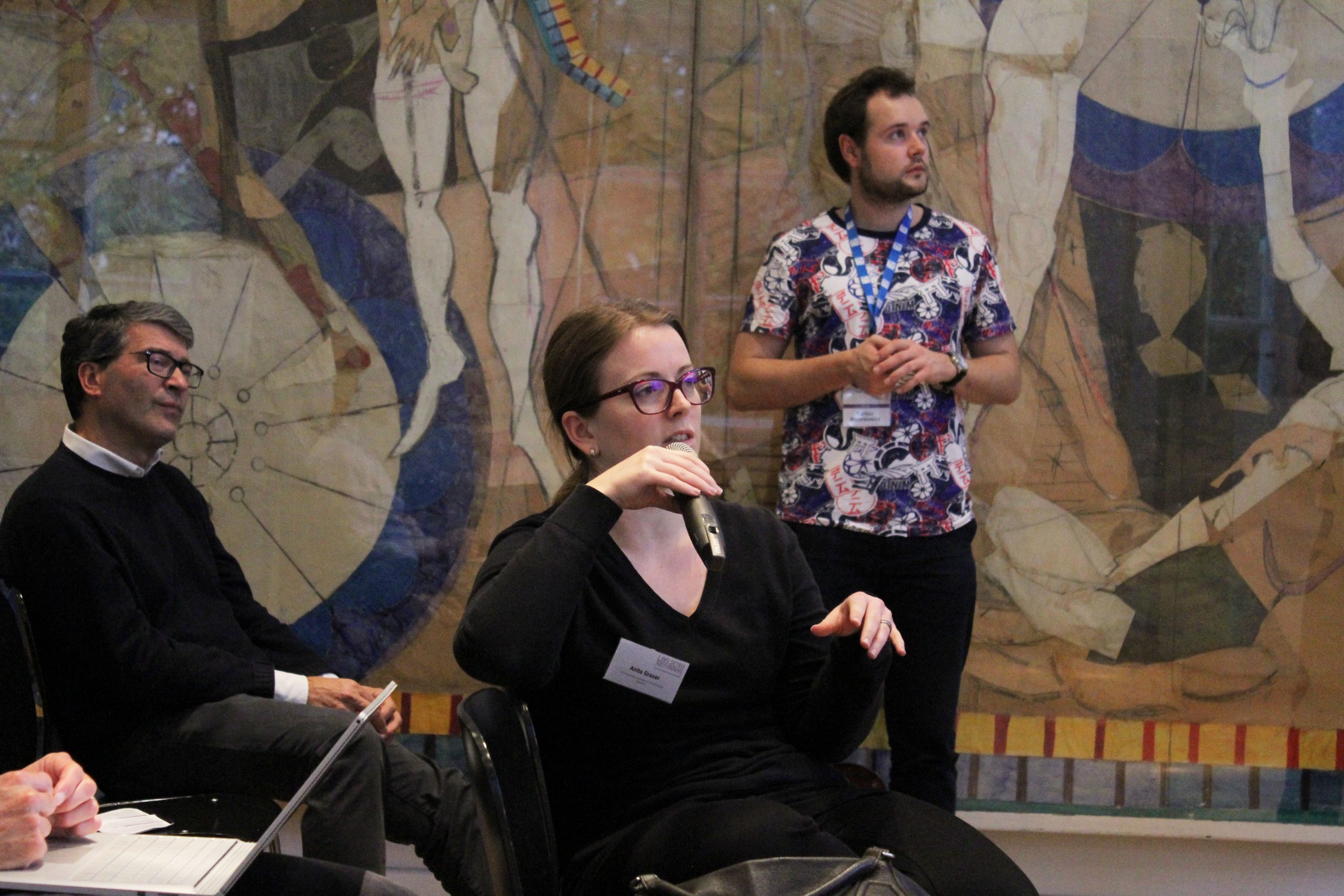
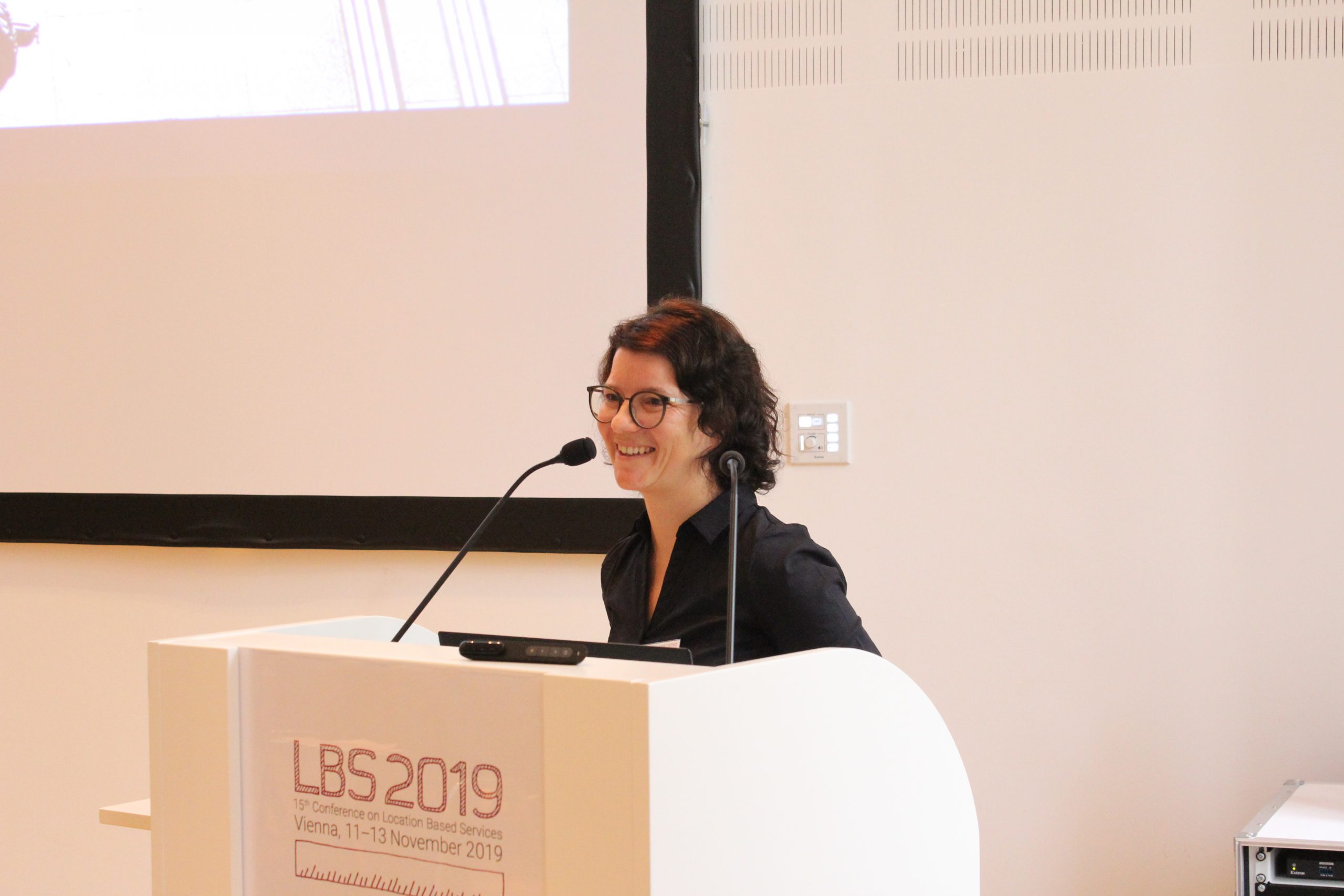
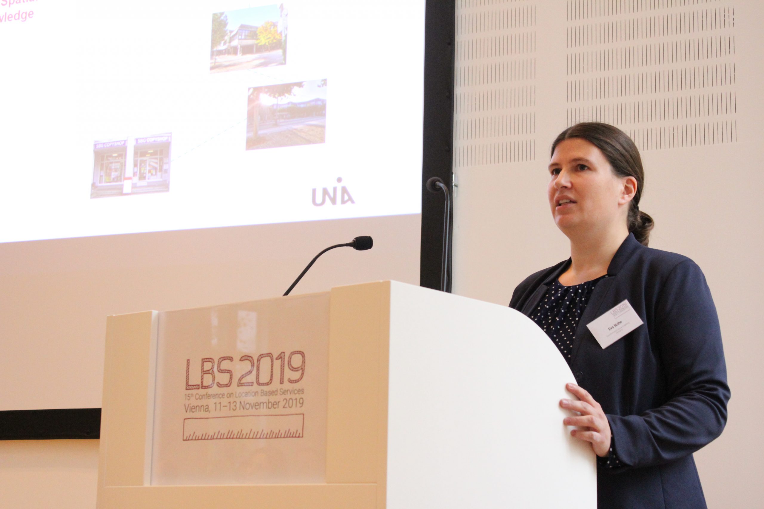
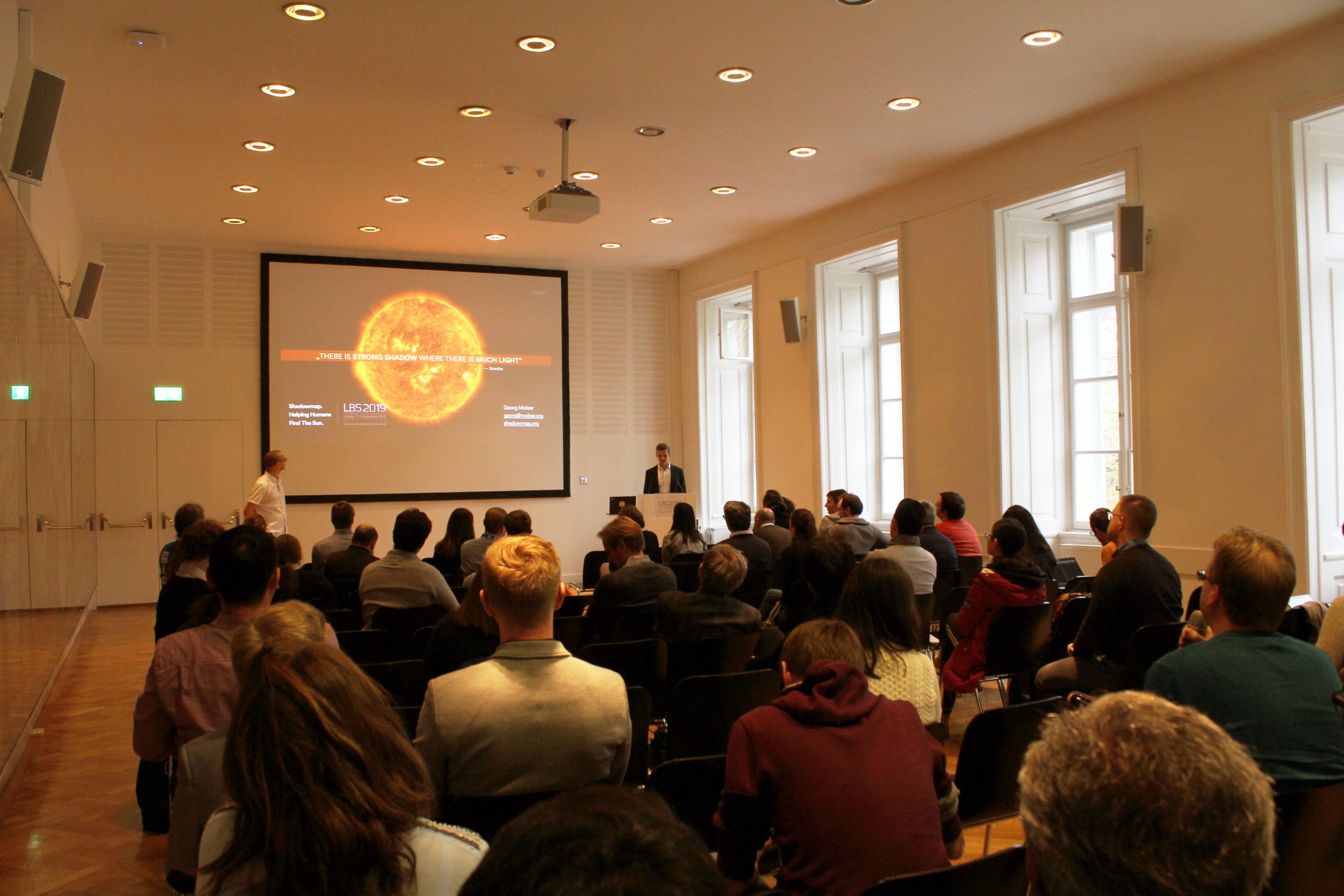
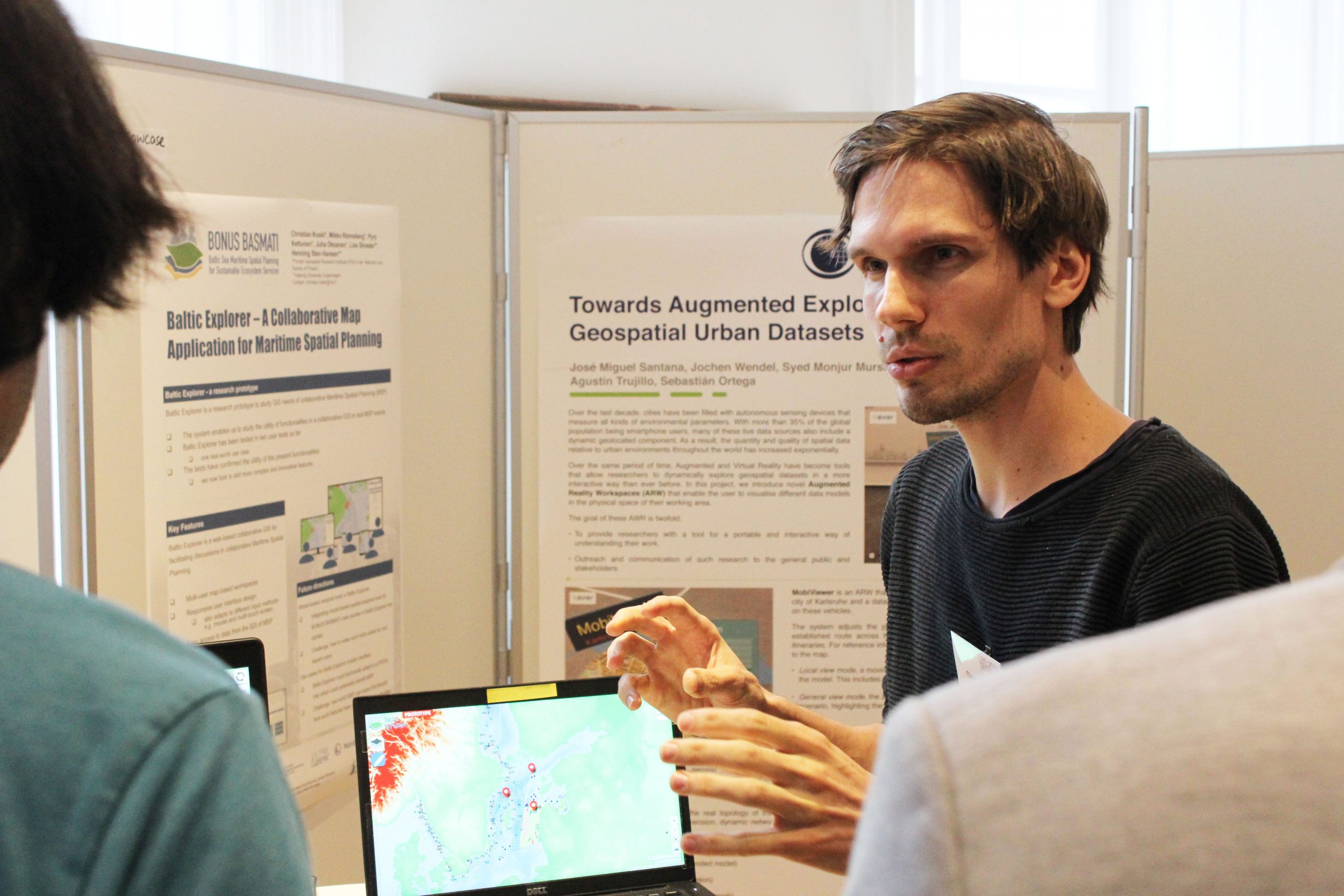
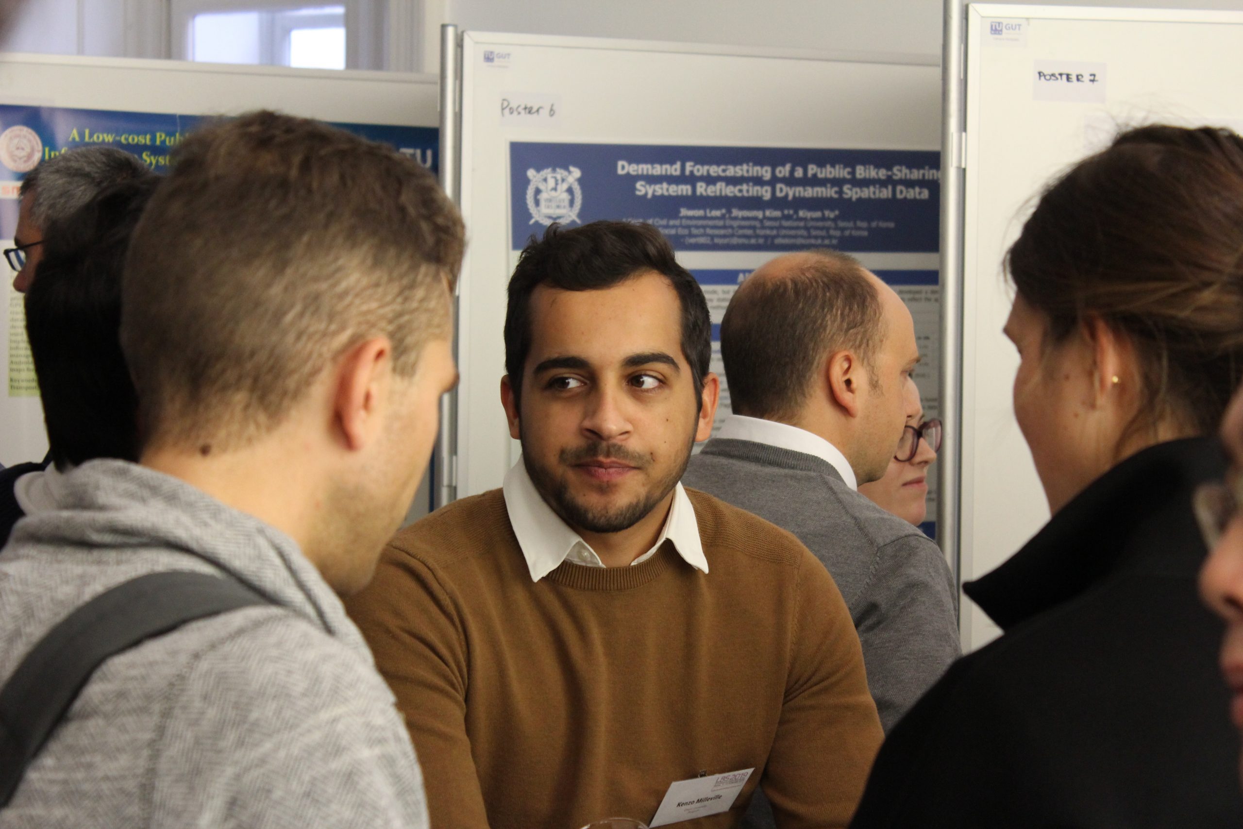
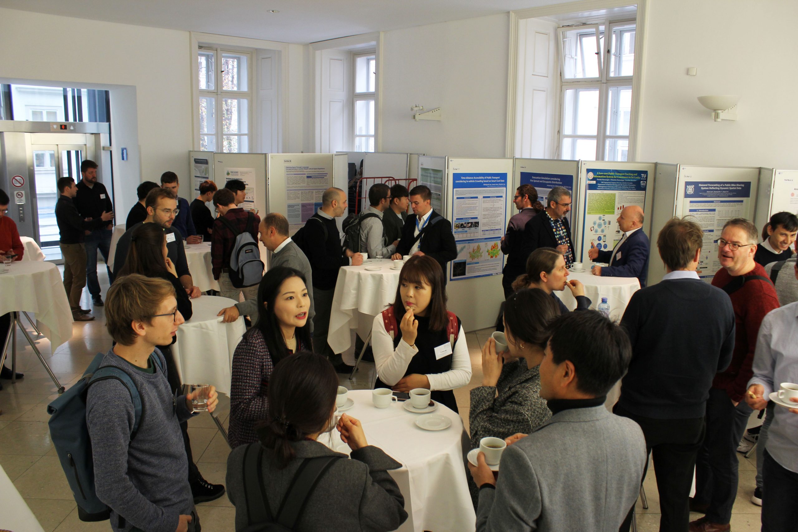
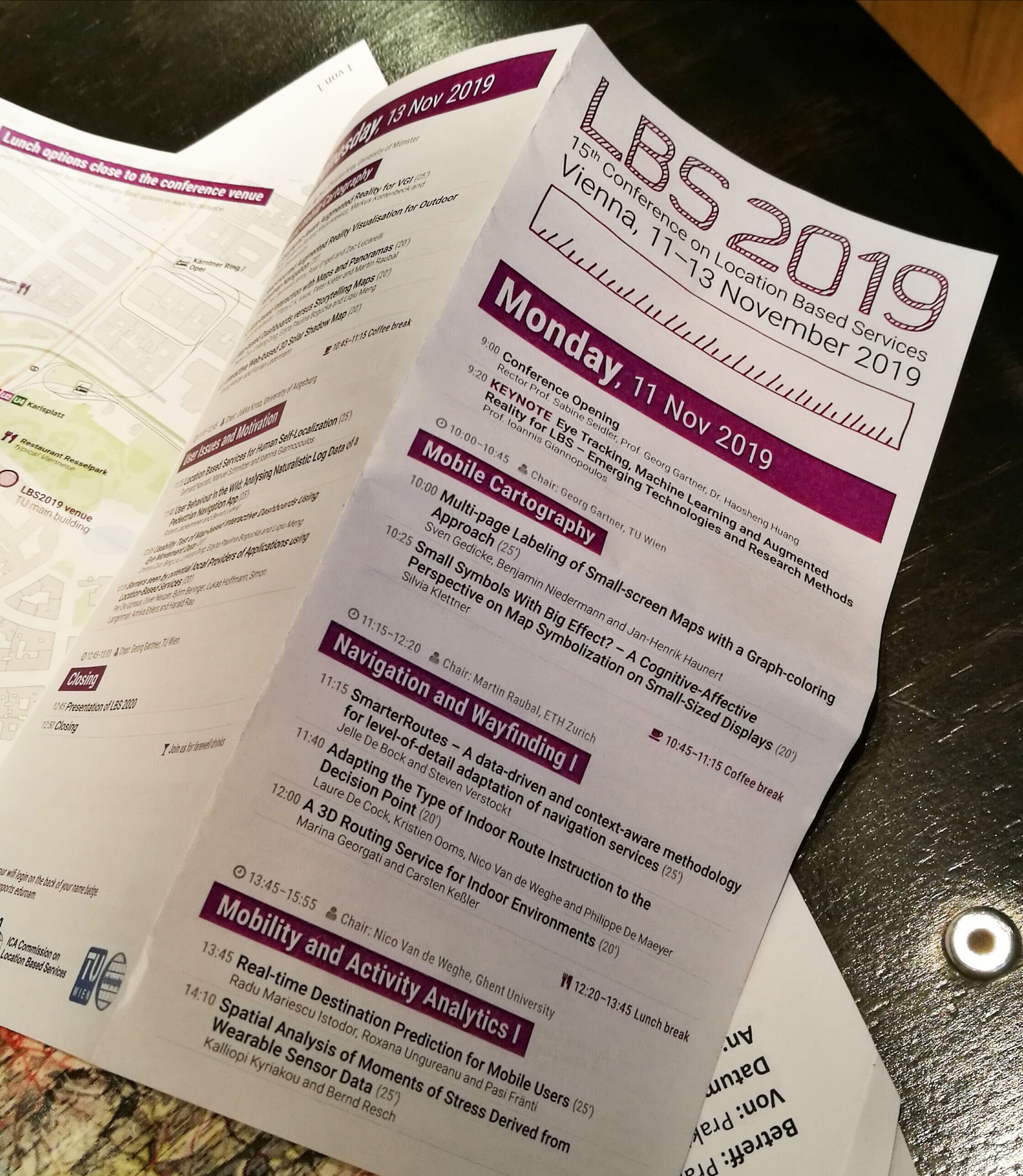
For centuries, humans used maps to orientate themselves by land, by sea or to find their way. Nowadays, Location-Based Services are capable to provide such – and much more – information tailored to the users’ contexts. Last week, the international conference LBS2019 took place in Vienna to discuss ongoing research, projects, and challenges.
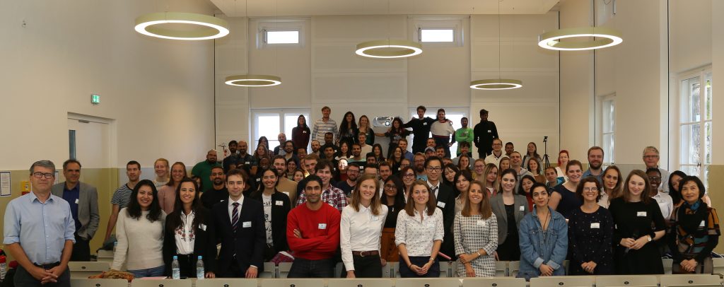
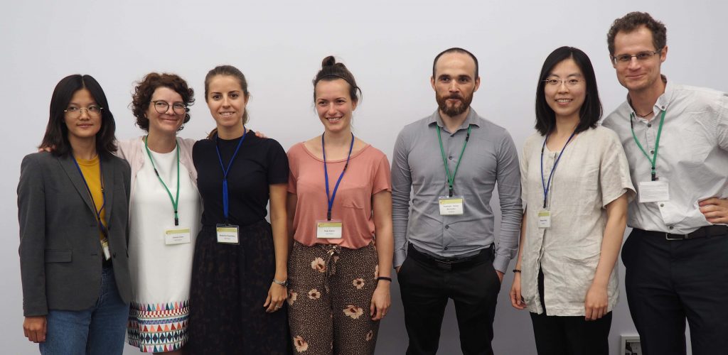
From October 10-12, 2019, the first Cartography M.Sc. Alumni Meeting took place, hosted by TU Munich. The alumni of all former intakes, fresh graduates, current students, and consortium members of the four cooperating universities met for the first time to learn, reconnect, and network.
Alumni, current students, and consortium members of the four cooperating universities
During the three-day event, the alumni from different intakes shared their career stories, gave professional advice, motivational mantras, and presented lessons learned after they left the Alma Mater.
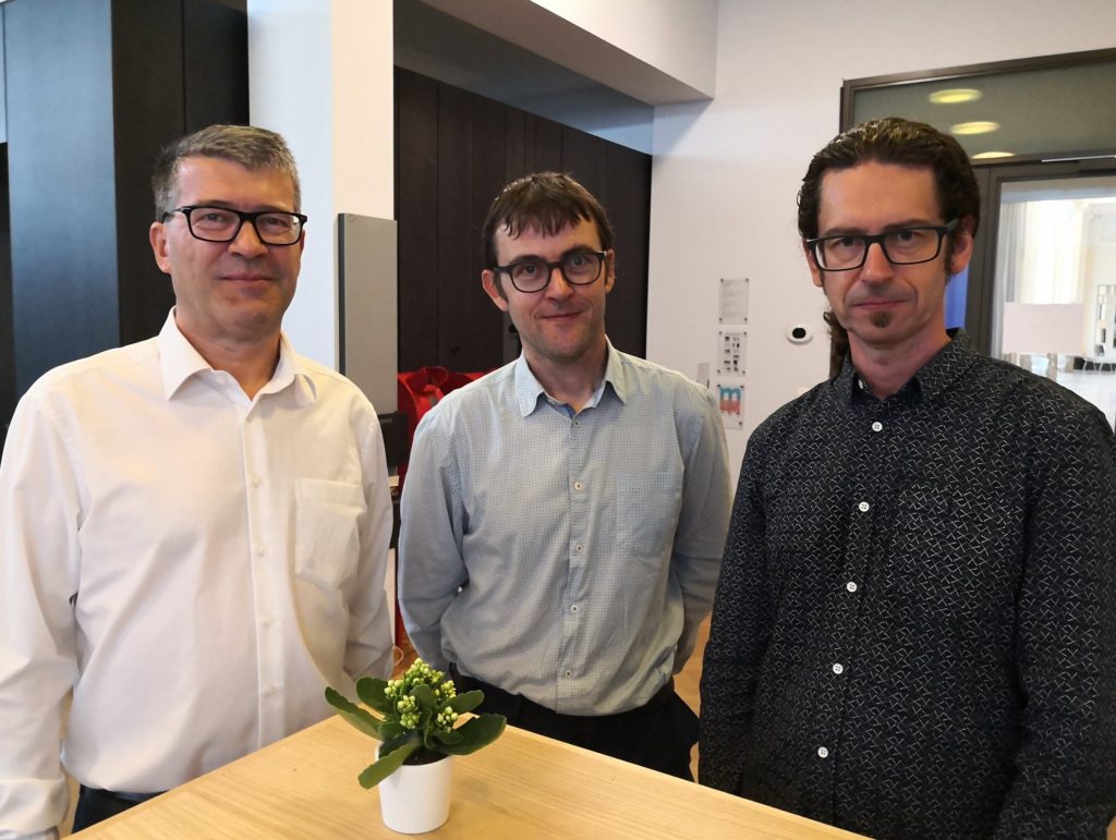
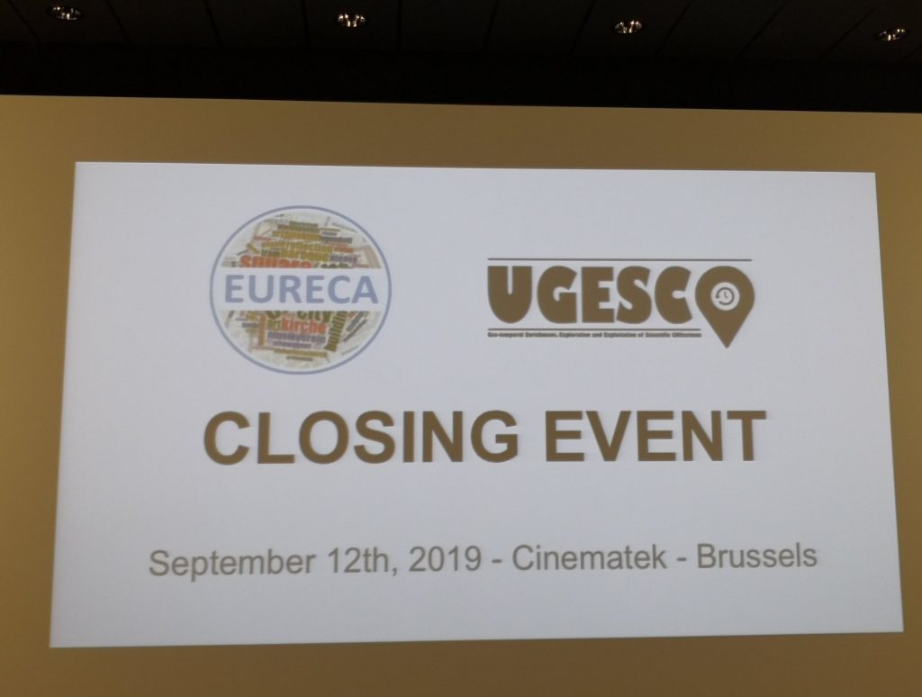
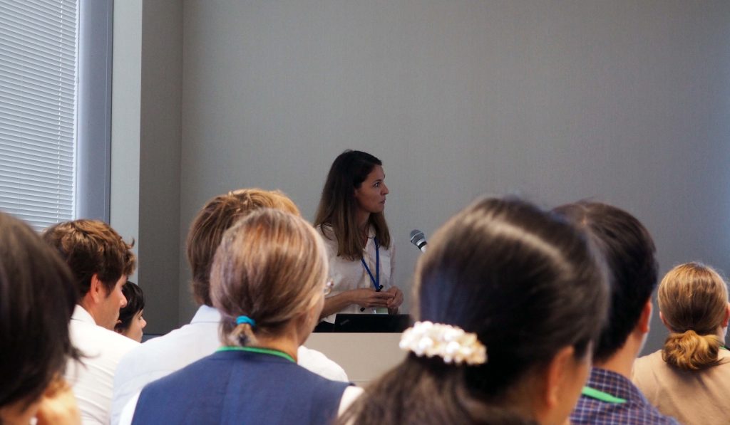
On last Thursday 12th the closing event of the EURECA/UGESCO projects was held at Cinematek, the Royal Belgian Film Archive in Brussels. EURECA is an international cooperation of the TU Wien, the Ghent University and several Belgian and Austrian archives focused on revealing inter-regional traces in Europe.
Results were presented by Steven Verstockt, Nico Van de Weghe, Kenzo Milleville, Dilawar Ali, Georg Gartner and Francisco Porras Bernárdez. We will extend further our excellent cooperation with our colleagues.
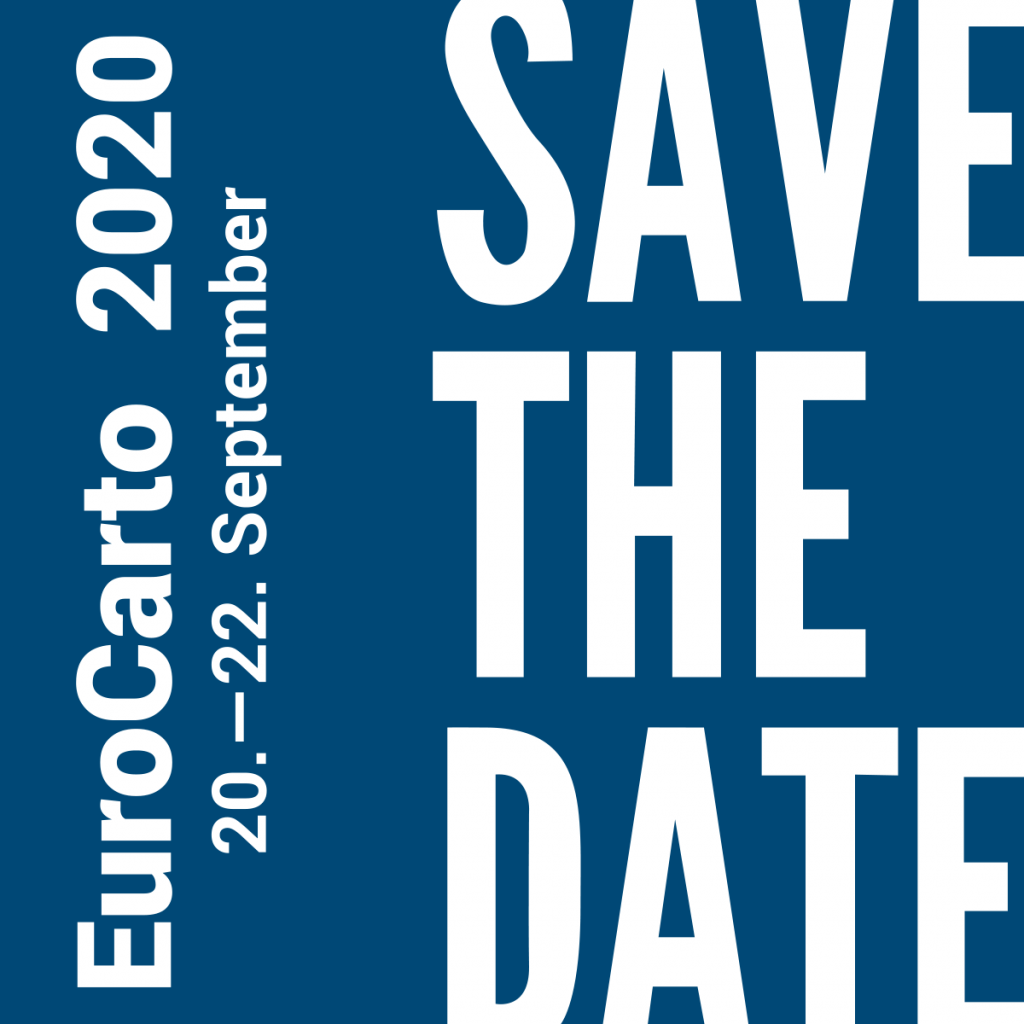
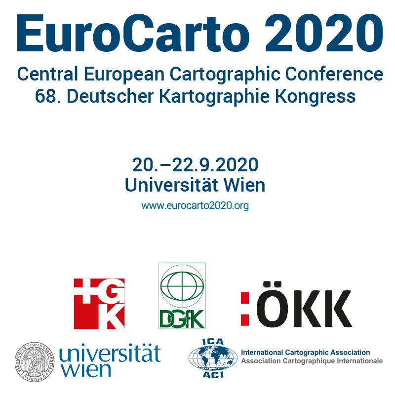
The Central European Cartographic Conference (EuroCarto 2020) in conjunction with the 68. German Cartography Congress will take place in Vienna from 20.—22.9.2020 at Universität Wien.
Details will soon be available at www.eurocarto2020.org.
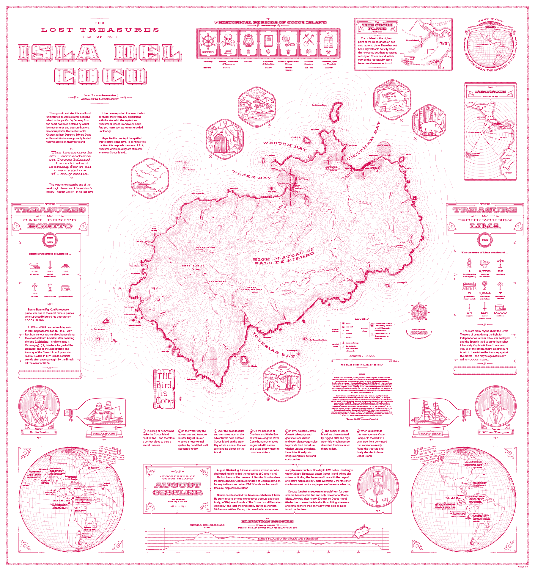
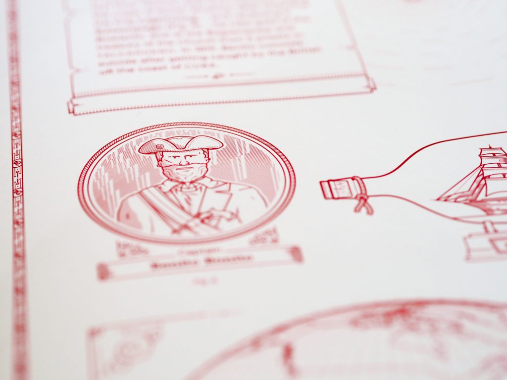
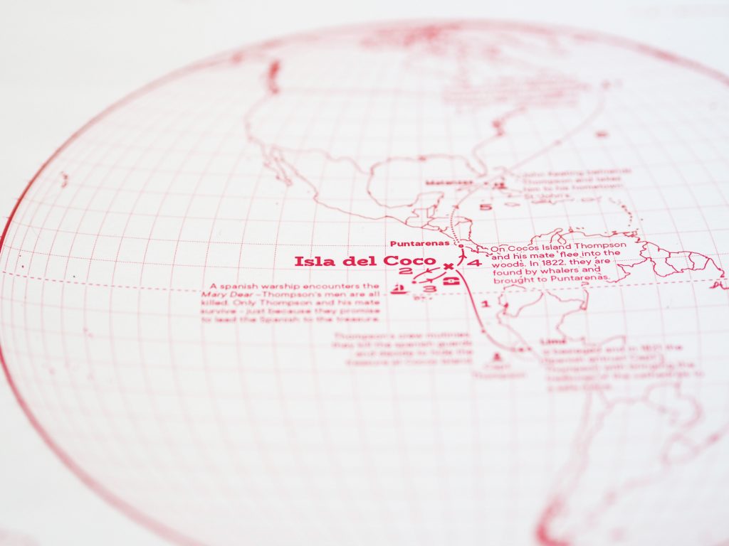
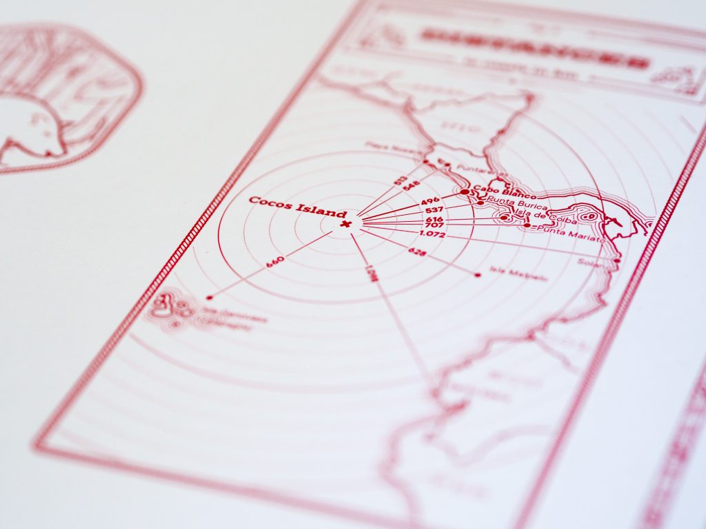
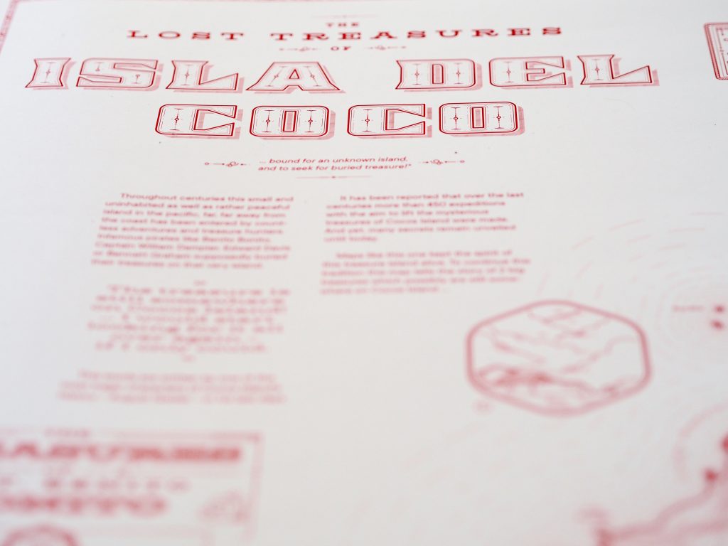
We congratulate our student Jakob Listabarth for being a winner at the Monochrome Mapping Competition 2019 with his purely magenta map “The Lost Treasures of la Isla del Coco”, which he created within the class Project Map Creation this summer semester.
When doing monochrome design, cartographers can only use one “ink” color, but most of us at least use various tints of that ink: basically, mixing it with the background color to create a continuous ramp of colors (e.g., greyscale) that we can use to distinguish rivers, contours, and other feature types from each other. Continuous monochrome is tough enough, but Jakob Listabarth takes the challenge even further and uses this map’s sole ink at 100% strength only. He is only able to distinguish feature types from each other using line weight, dot/dash patterns, and hachure shading. This he does excellently, and I continue to be impressed by how much information is shown, and how clearly each layer is distinguished from the others when they are all, after all, exactly the same version of magenta.
It’s not only an attractive aesthetic choice, but one that ties into the map’s subject. In the 19th century cartographers were usually likewise limited to representing features using ink lines, printed from engraved copper plates. Listabarth still puts a modern spin on things with the sans serif typography and charming (whimsical?) illustrations. It’s a lovely blending of old and new.
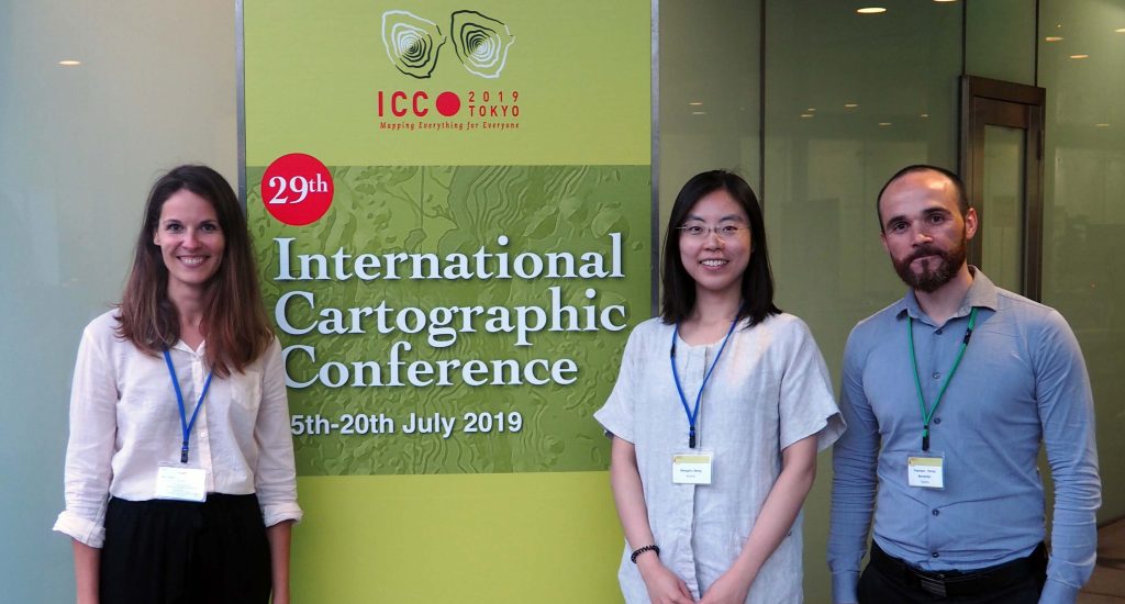
This year’s29th International Cartographic Conference (ICC)took place in Tokyo, Japan, with over 950 participants. The members of the Research Division Cartography and its affiliates also contributed their latest works by Scientific Presentations, Scientific Posters, Maps, and Atlases. With a Position Paper, the research group also participated in the pre-conference workshop in Beijing, China on “User Experience Design for Mobile Cartography: Setting the Agenda”. Read more to access all contributions.
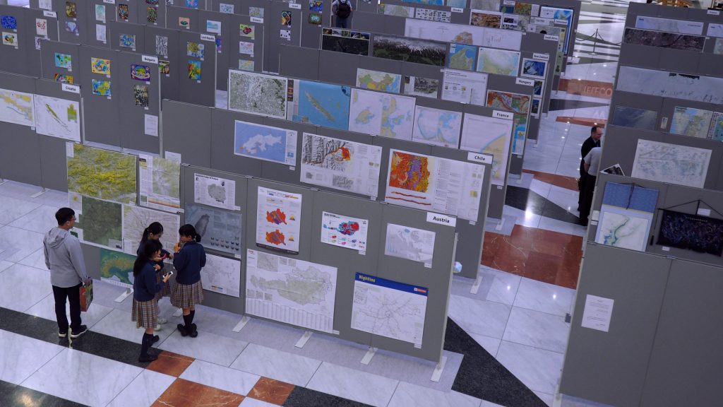
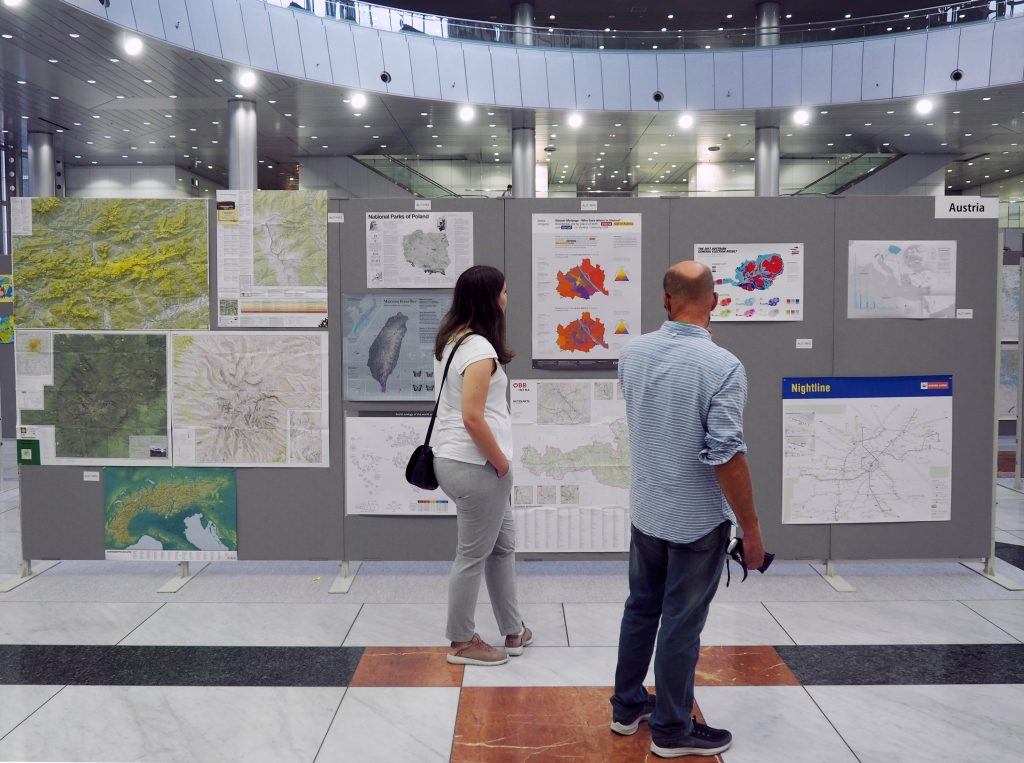
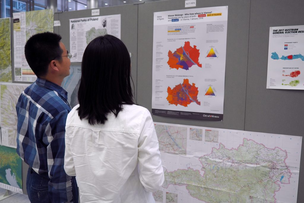
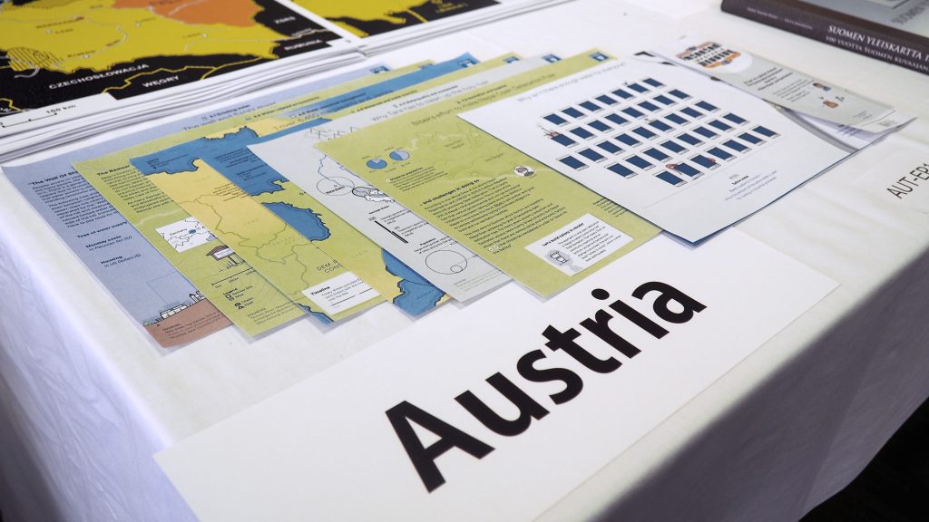
Vom 15.–20. Juli 2019 fand in Tokio die 29. International Cartographic Conference (ICC) statt. In diesem Rahmen wurde auch wieder die International Cartographic Exhibition organisiert – eine Ausstellung für digitale und analoge Karten aus aller Welt. Dabei waren auch 17 Beiträge aus Österreich vertreten. Besonders erfreulich: Das Projekt Politics of Remembrance (POREM) erhielt den ersten Preis in der Kategorie Digital Product – wir gratulieren ganz herzlich!
Die österreichischen Beiträge in Tokio
Basierend auf dem Call for Maps wurden 17 österreichische Beiträge nach Tokio gesandt, darunter 12 Papierkarten, 3 digitale Kartenprodukte, ein Atlas und ein Produkt für den Unterricht (Educational Products).
As in former semesters, we would like to showcase a selection of extraordinary student projects from this summer semester. The following maps are results from the class Project Map Creation.
La Isla del Coco. A monochromatic exploration by Jakob Listabarth (png, 6.2mb)
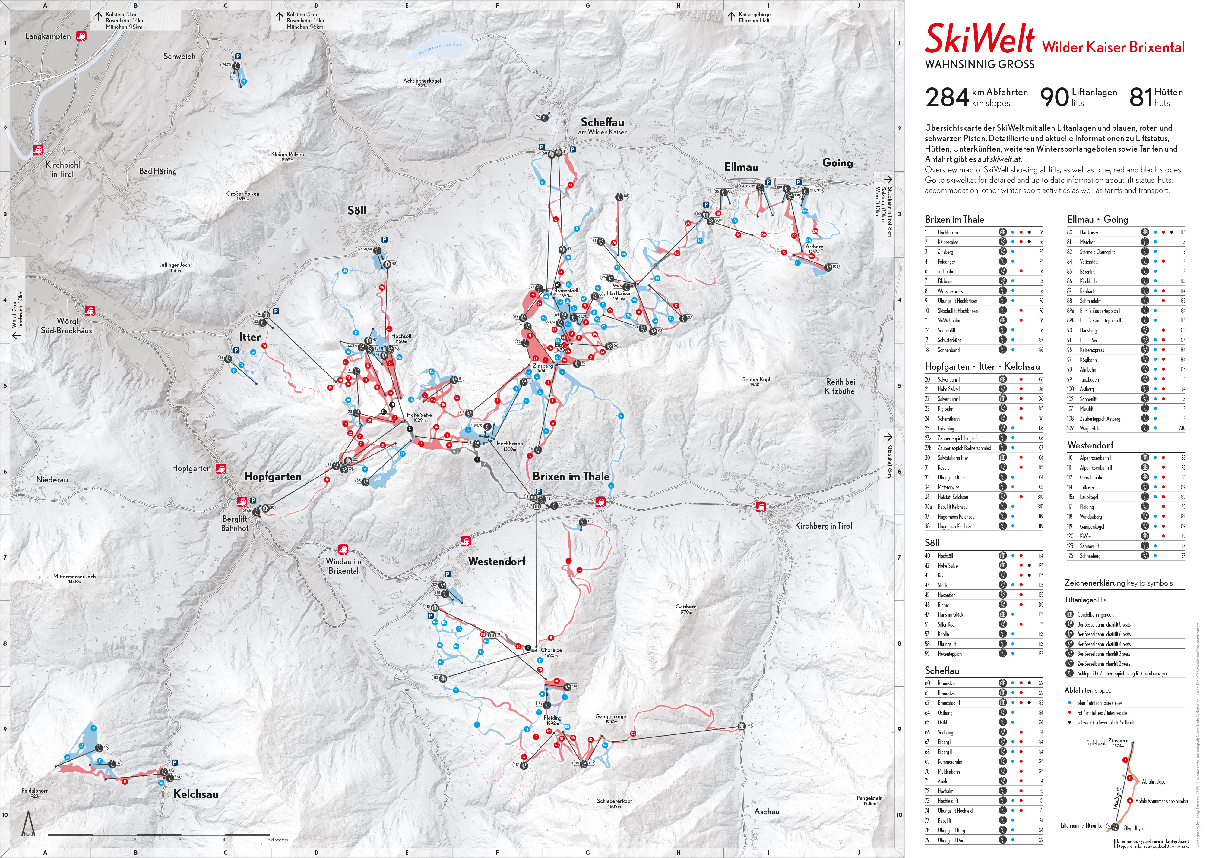
SkiWelt Wilder Kaiser Brixental. An orientation and navigation map by Jenny Janssen (jpg, 3.3mb)
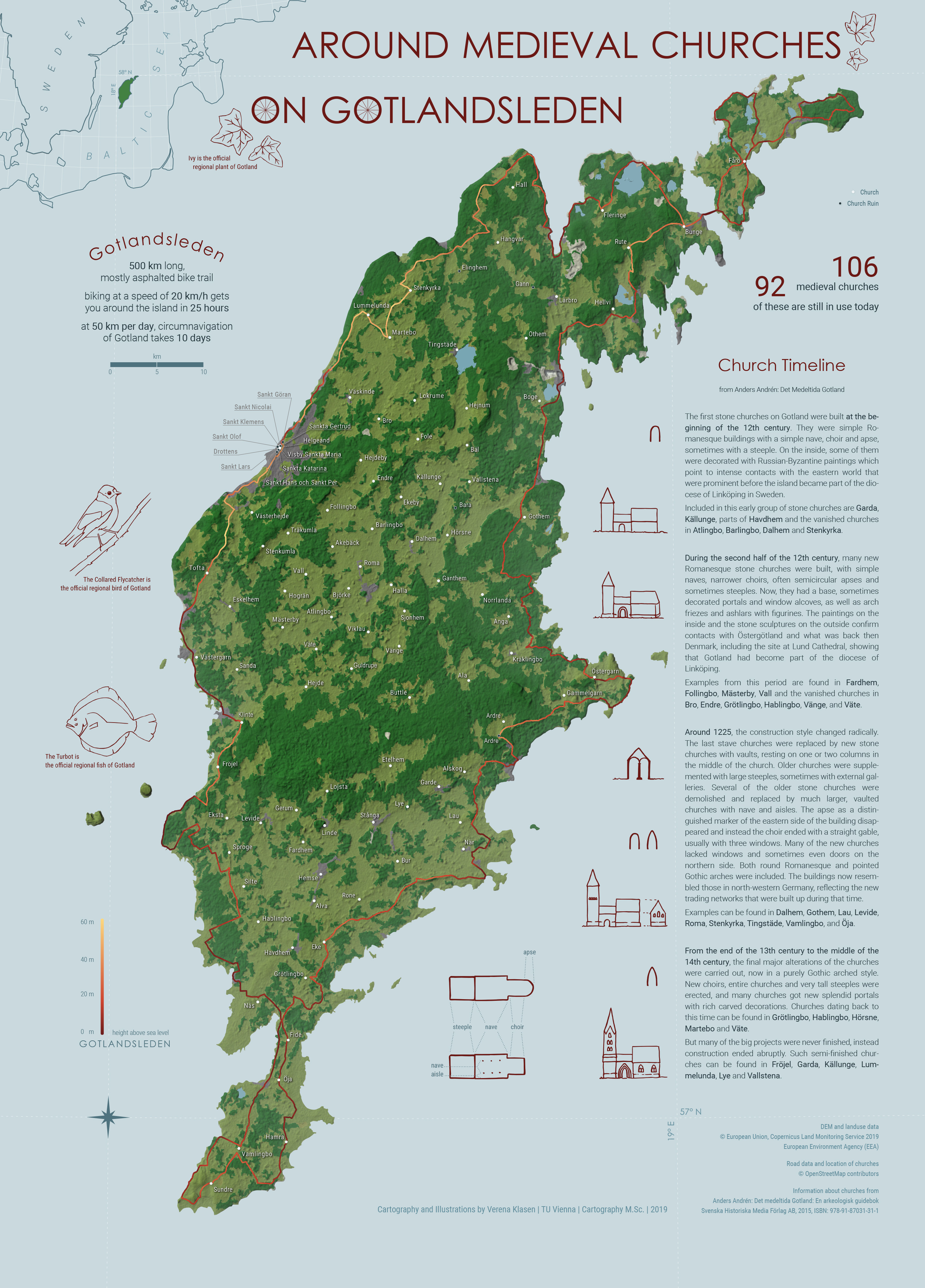
Around Medieval Churches on Gotlandsleden by Verena Klasen (jpg, 2.1mb)
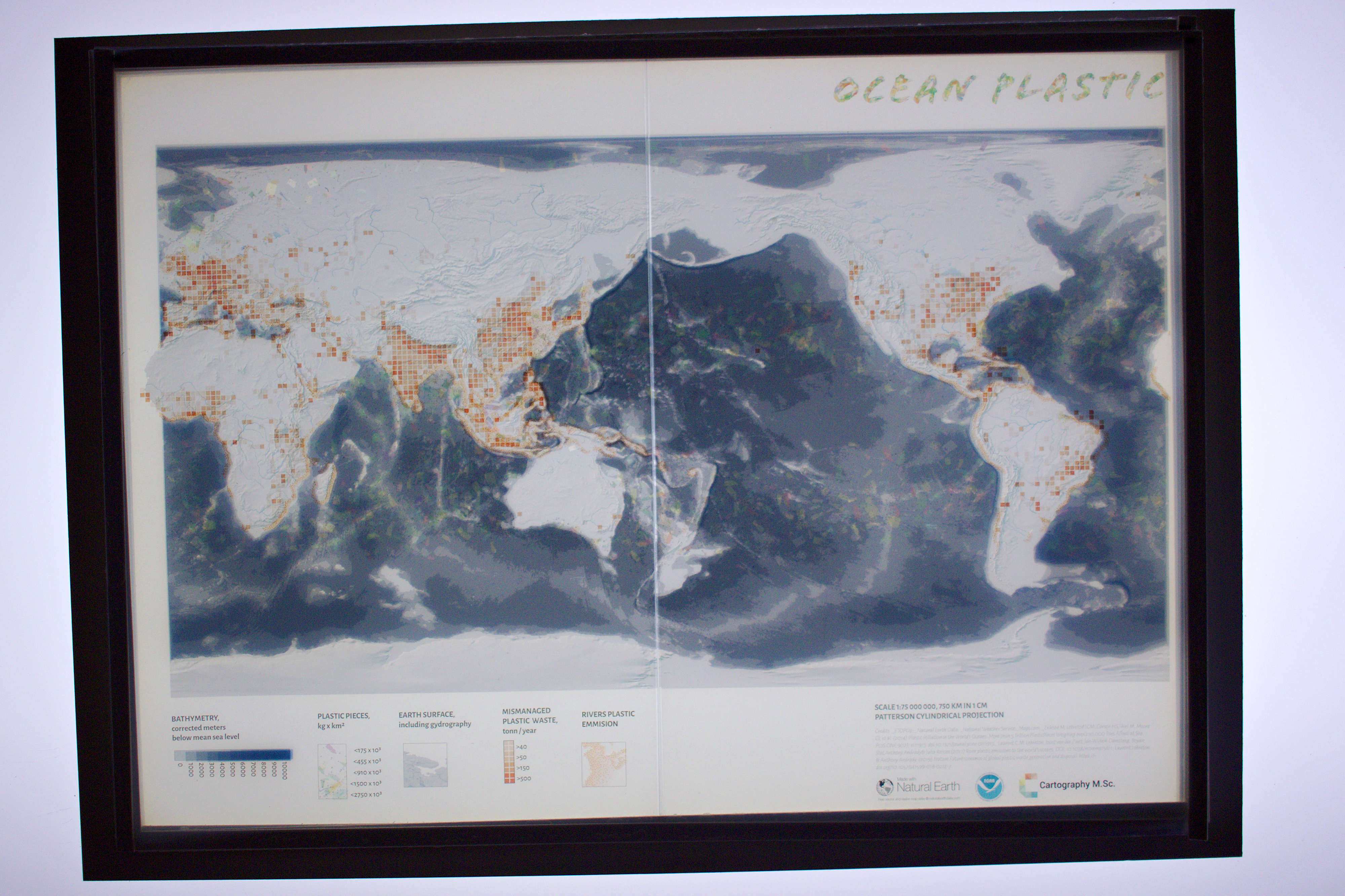
Ocean Plastic. A relief light map by Nikita Slavin (jpg, 3.3mb)
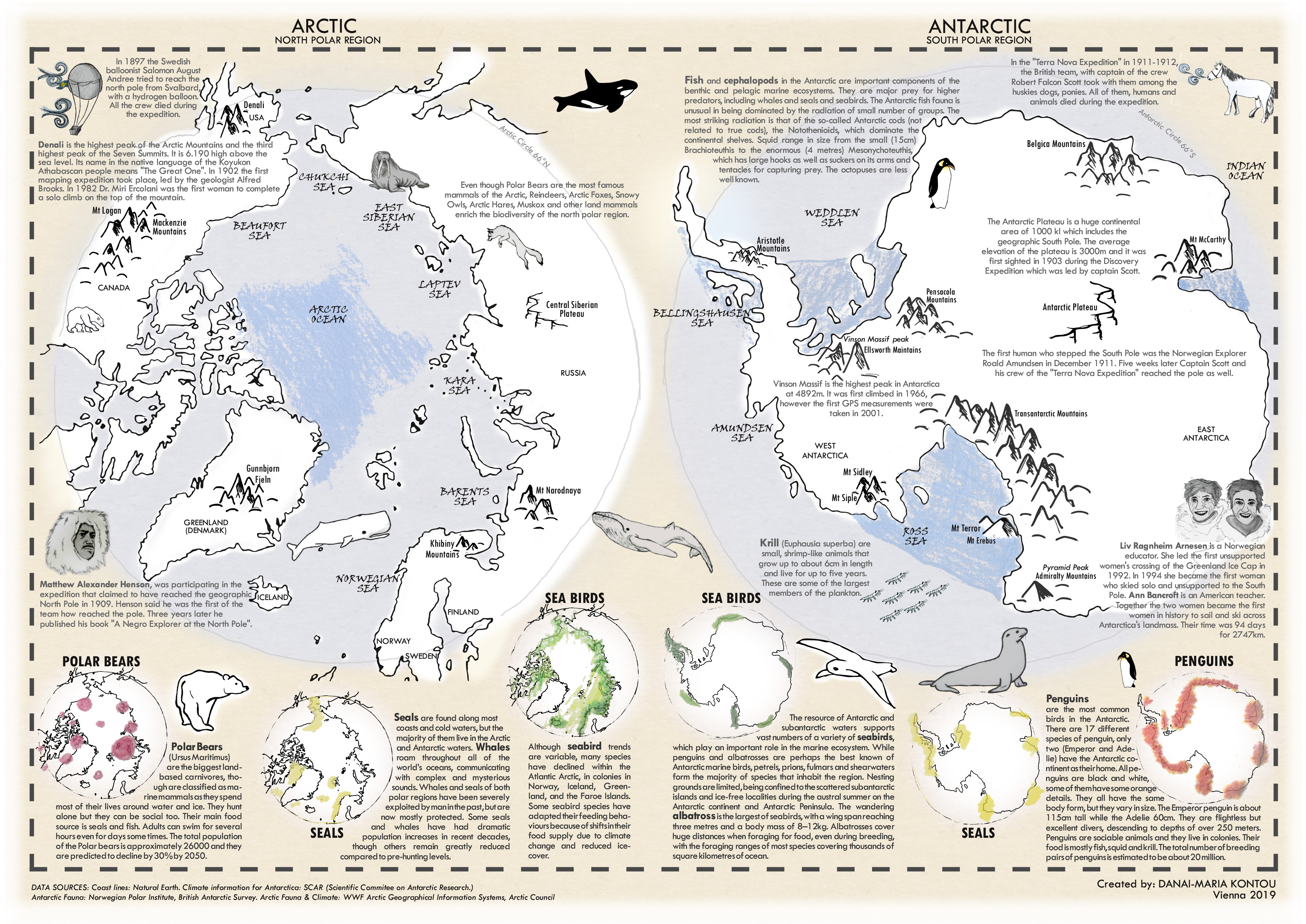
The Polar Fanzine by Danai Maria Kontou (jpg, 2.6mb)
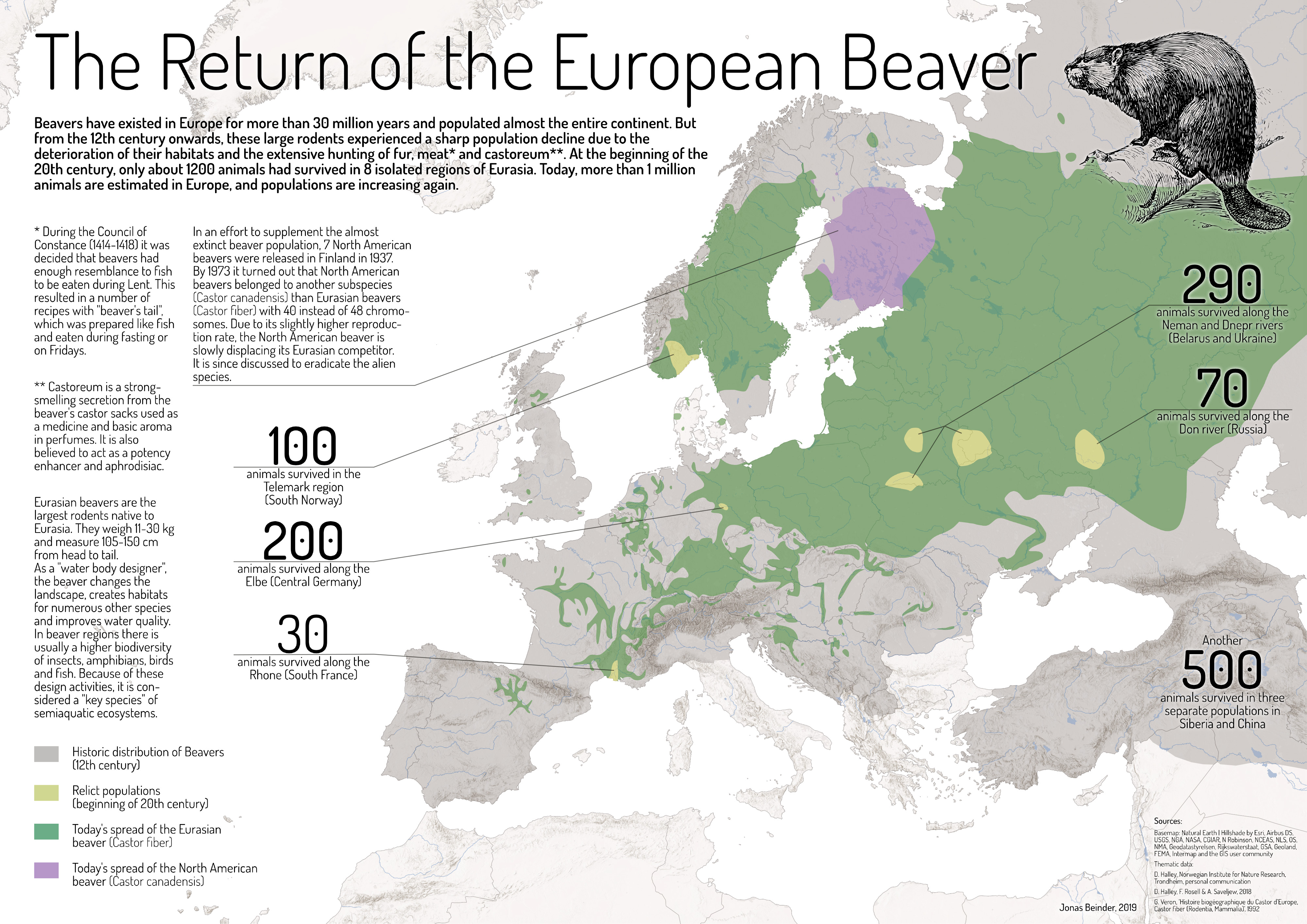
The Return of the European Beaver by Jonas Beinder (jpg, 2.2mb)
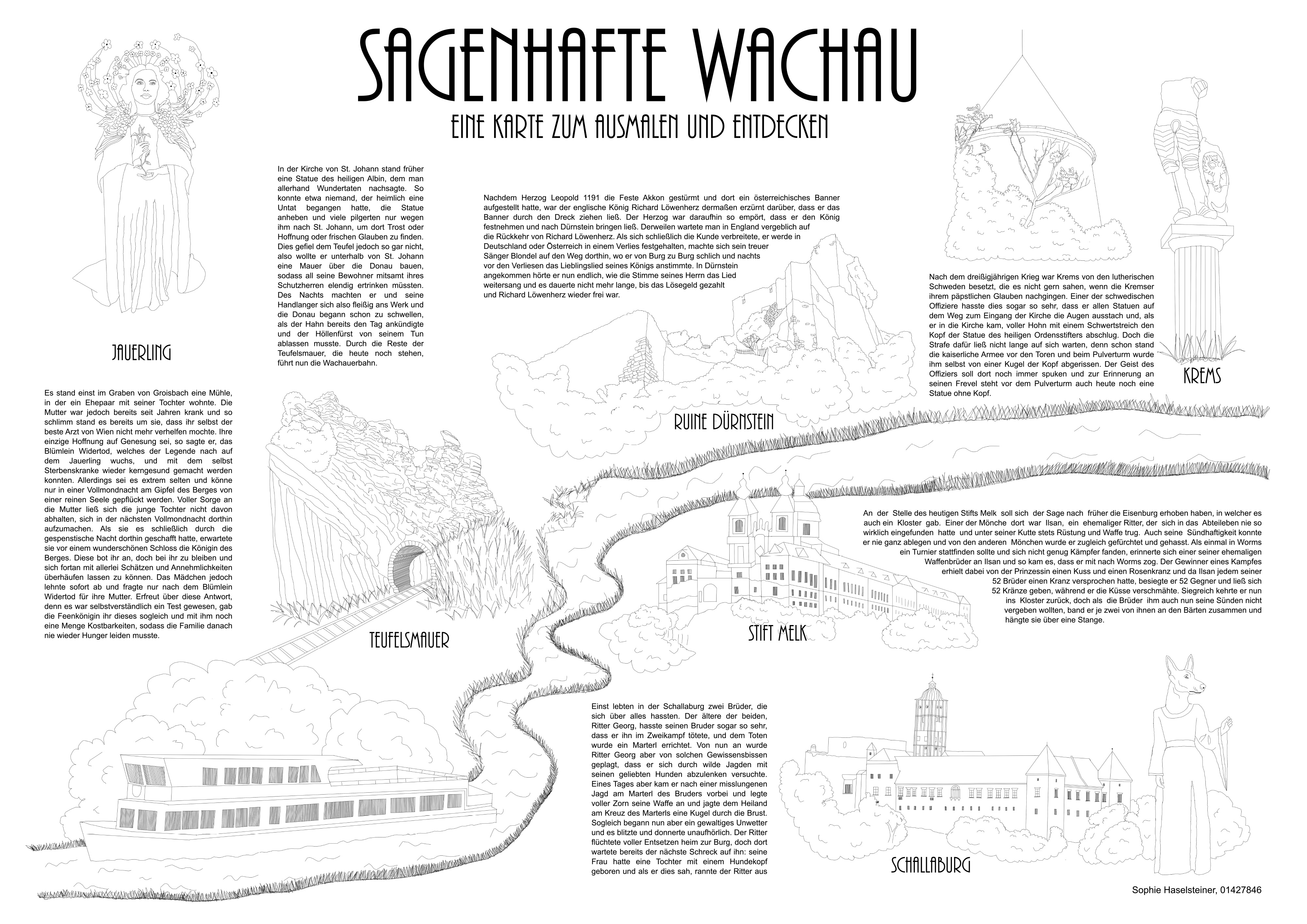
Sagenhafte Wachau. Eine Karte zum Ausmalen und Entdecken by Sophie Haselsteiner (jpg, 2.0mb)
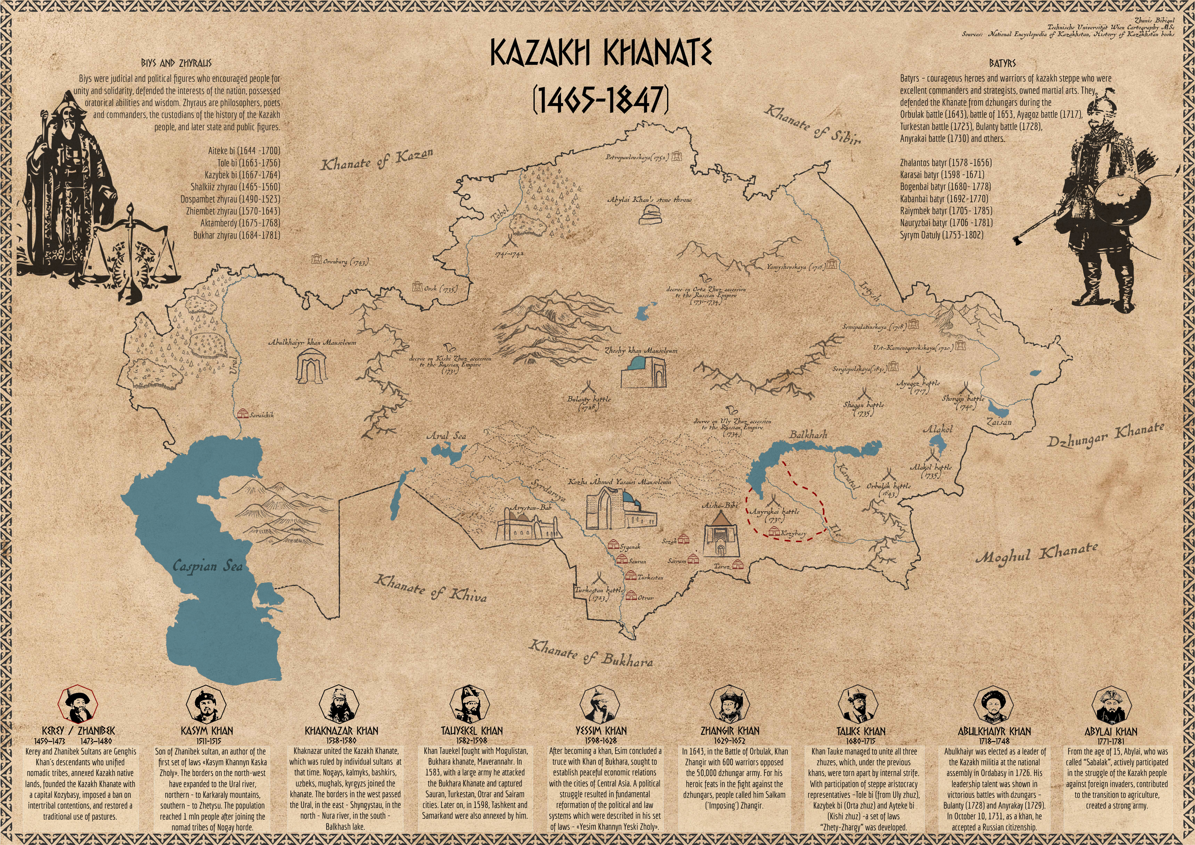
Kazakh Khanate (1465–1847) by Bibigul Zhunis (jpg, 4.9mb)
A huge thank you to all students for their hard work in this busy summer semester. Enjoy the summer!


 by Bibigul Zhunis")