CartoTalk Anita Graser: QGIS for Cartography

We are very happy to host a CartoTalk by Anita Graser of the Austrian Institute of Technology (AIT) on Thursday, 28 April 2016.

Abstract: Since its founding fourteen years ago, QGIS has come a long way. Started as a mere data viewer, it now provides a vast array of GIS functionality, tool integration, extensible plugins, and—cartographic capability. Slighted in years past for its inability to make a “pretty” map, QGIS now provides a vast array of features for cartographers. This talk gives an overview of the current status of cartographic features in QGIS, discusses the most recent developments, and finally provides an outlook towards planned future developments.

© Anita Graser

Anita Graser is a researcher at the AIT Austrian Institute of Technology and an open source GIS advocate serving on the OSGeo board of directors and QGIS project steering committee. Her primary research interests focus on GIScience for mobility research questions, analyzing and visualizing spatio-temporal data. She currently teaches at the University of Applied Sciences Wiener Neustadt, and at UNIGIS Salzburg and the Technical University of Vienna. Furthermore, she publishes a popular blog on open source GIS at anitagraser.com and is author of Learning QGIS, and QGIS Map Design.

Thursday, 28 April 2016, 10:00
Forschungsgruppe Kartographie
Seminarraum 126
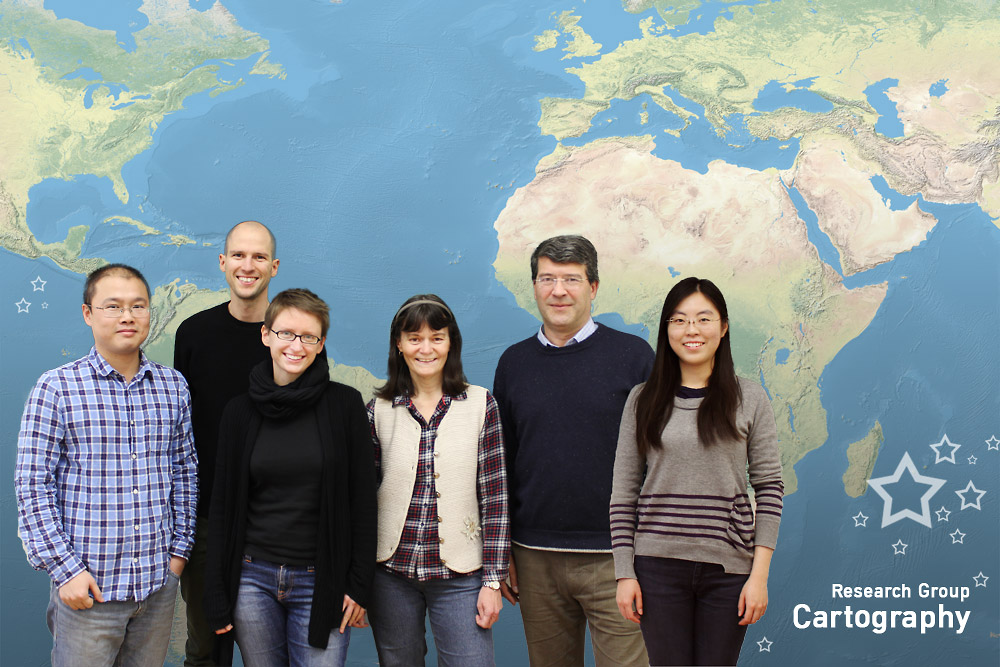
Season’s Greetings from the Research Group Cartography

Dear friends and colleagues, we would like to thank you for the pleasant collaborations in 2015. We are looking forward to working with you in the upcoming year! Our best wishes for a pleasant holiday season and a prosperous New Year!

christmas_2014
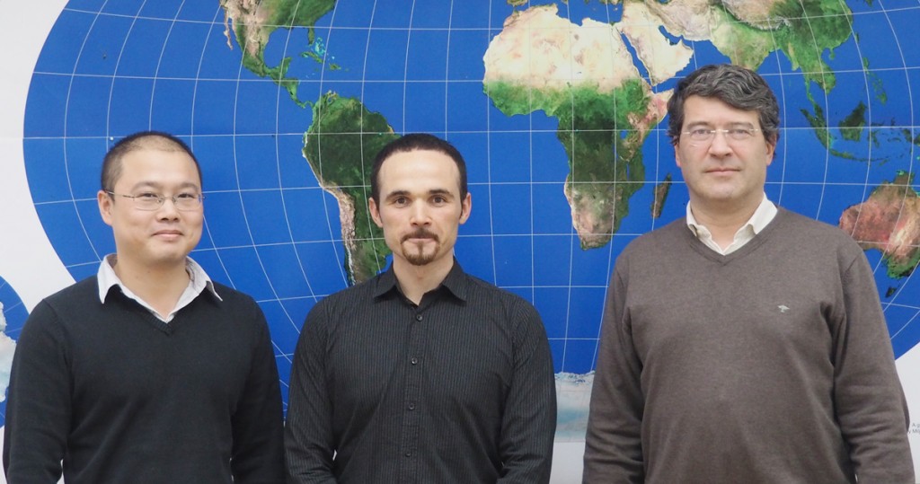
Happy holiday wishes from Haosheng, Florian, Manuela, Violet, Georg, Wangshu and (not in this picture) Edith!

Master thesis presentation on 16.12.2015

On December 16, Francisco Daniel Porras Bernárdez, student of the International Master of Cartography (3rd intake), presented his master thesis on the topic of “Extraction of user’s stays from GPS logs: A comparison of three spatio-temporal clustering approaches”. His presentation is accessible online here.

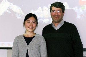
Haosheng Huang, Francisco Daniel Porras Bernárdez and Georg Gartner after the master presentation


CartoTalk Eleonora Ciceri: Humans in the loop – Optimization of active and passive crowdsourcing

We invite you to our next CartoTalk by Eleonora Ciceri from Politecnico di Milano.

Abstract: Humans in the loop: Optimization of active and passive crowdsourcing Abstract: Crowdsourcing has become a hot topic in the last years: many companies base their core business on it and computer scientists study how to optimize it. Yet, there still are unsolved questions that need to be answered. On the one hand, in an active crowdsourcing context (i.e., the one in which workers actively contribute by solving tasks on crowdsourcing marketplaces) there is the need of identifying among all the possible tasks the ones that are useful (i.e., which ones bring additional knowledge and information) and discard the others. On the other hand, in a passive crowdsourcing context (i.e., the one in which we analyze user-generated content), if someone is in need of identifying topic-related content and influencers (i.e., people that influence other users in thoughts and actions), it is important to identify content features and users behaviors that an automatic pipeline could exploit to find relevant content and influential users without the help of humans. In this brief seminar, we will discuss what crowdsourcing really is, and we will cover these aspects, presenting some of the results that we achieved with our research.

Eleonora Ciceri is a Post-Doc researcher at Politecnico di Milano, Italy. She had a BSc degree in 2009, an MSc degree in 2011, and a doctoral degree in Computer Science Engineering at Politecnico di Milano. Her research interests are top-K query processing, social media, crowdsourcing, human computation and multimedia.

Friday, 8 May 2015, 14:00
Forschungsgruppe Kartographie
Seminarraum 126

11th International Symposium on Location-Based Services

LBS2014 logo
The 11th International Symposium on Location-Based Services (LBS 2014) took place at TU Vienna from 26 to 28 November 2014. After its initiation at TU Vienna in 2002, the conference travelled around the world – with venues in Salzburg, Munich, Nottingham, Hongkong and Shanghai. In 2014, the conference was once again organized by the Research Group Cartography.

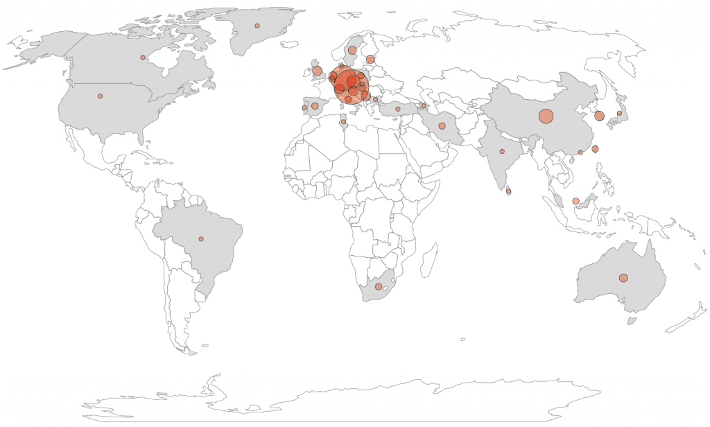
This year, 140 participants from 37 countries joined the conference:

lbs2014 participant map

somap2014_logoThe LBS conference was held in conjunction with the Second International Symposium on Service-Oriented Mapping (SOMAP 2014). We also organized a hands-on workshop on Open Source GIS and Modern Webmapping on November 24–25, immediately before the main conference.

Program and proceedings can be found on lbs2014.org.

Anita Graser compiled a great summary of the conference on Storify – thx!

CartoTalk Mark Wigley

We invite you to a CartoTalk [in English] by Mark Wigley from Esri Switzerland on the topic of

Challenging Cartography in ArcGIS with the Carto-Tools from Esri Switzerland

Esri – the leading international supplier of GIS software – has often in the past been shunned by the Cartographic community as concentrating too much on GIS and too little on cartography. Since the arrival of Cartographic Representations in the software ArcMap 9.2 Esri has put considerable effort into responding to this criticism and have since come a long way. This effort has been driven by the fact that the National Mapping Agencies (swisstopo, BEV etc.) are now starting to use their GIS systems to produce the National map sheets instead of using a graphic based software solution. Esri Switzerland has taken the Cartographic possibilities offered by the base software and gone one step further. Together with swisstopo a number of Cartographic processes and tools to help automate map production have been developed. This lecture will explain these Cartographic processes and a demonstration based on Open Street Map data will be given as how they can help produce a more pleasing cartographic result and optimise a production workflow.

Tuesday, 06 May 2014, 17:15
Forschungsgruppe Kartographie
Seminarraum 126
Presentation slides

Mark Wigley studied Geographical Techniques in Luton College of Higher Education in England. After over 7 years working in the conventional cartography in both England and Switzerland he moved into desktop digital cartography at Kümmerly+Frey, the then biggest private mapping company in Switzerland. After a further 3.5 years he moved to Hallwag where he started as head of digital cartography the job of building a seamless European database using the existing paper maps. He went on, to become head of the Cartography department where he remained for over 11 years. He next moved into the software arena working 3.5 years for the Mapping Software company Morelli Informatik before finally moving to Esri Switzerland in the Autumn of 2011.