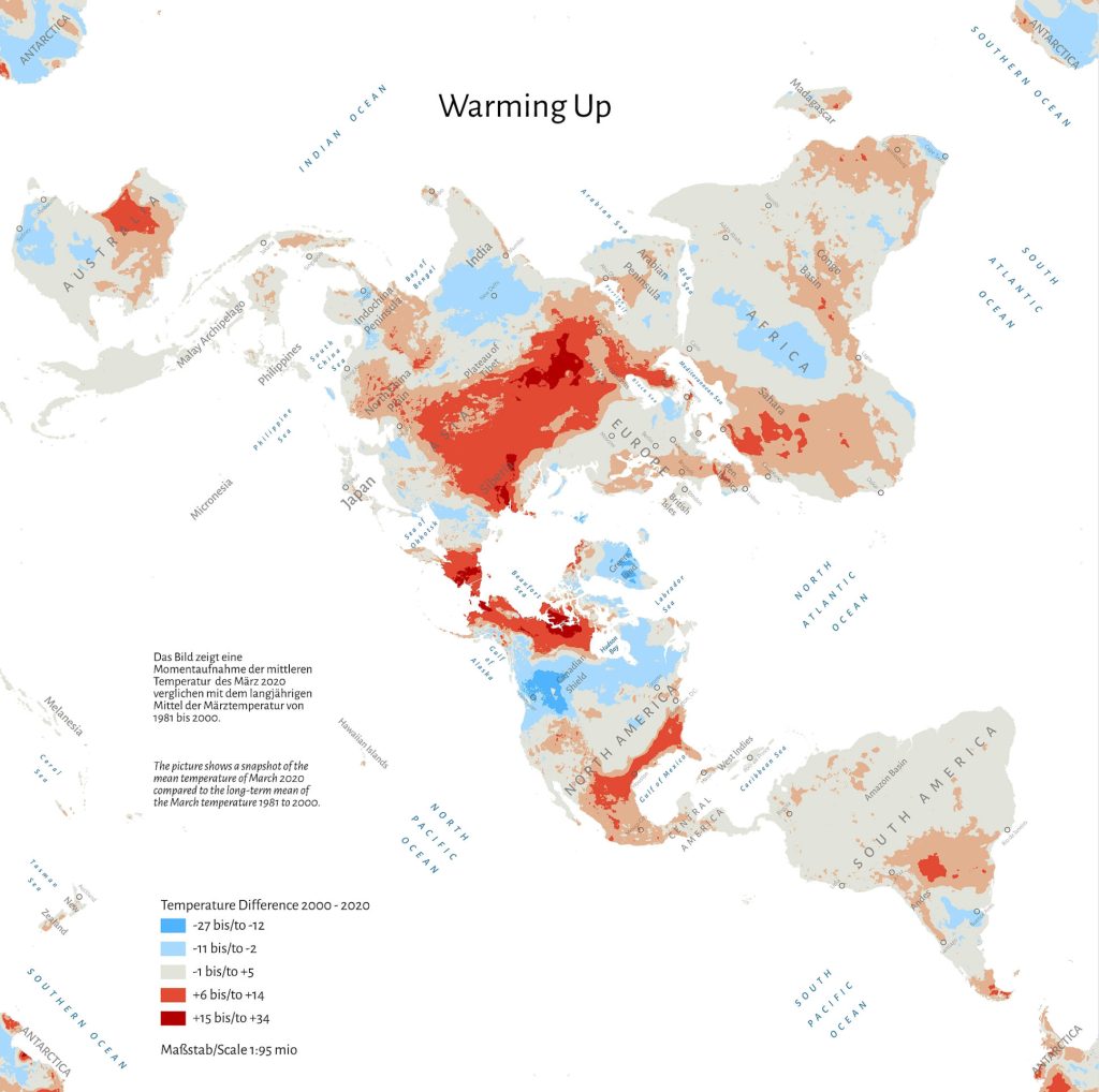
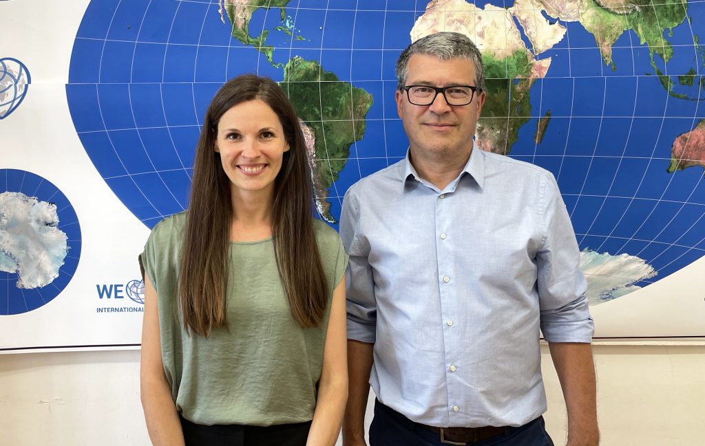
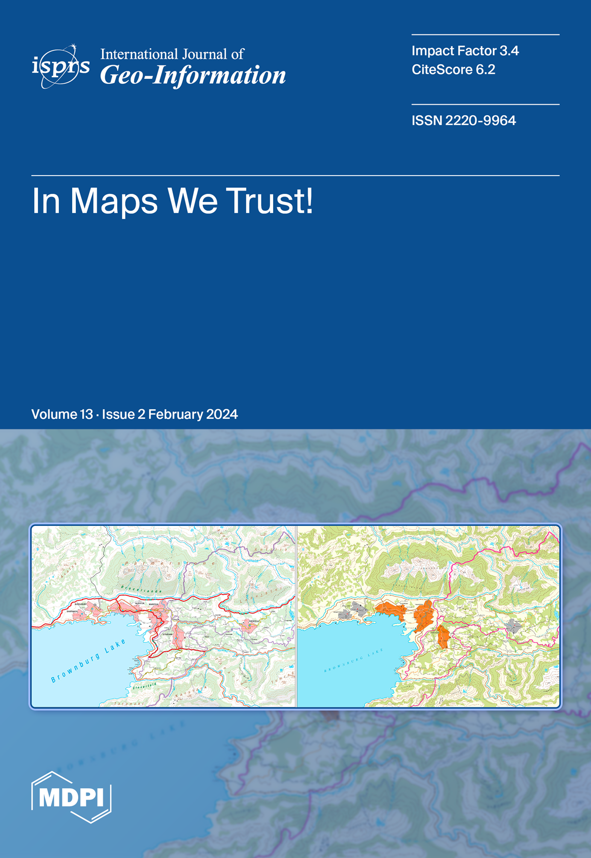
We are pleased to share that the latest issue of the ISPRS International Journal of Geo-Information features an article by Prof. Georg Gartner and his co-authors, Olesia Ignateva, Bibigul Zhunis and Johanna Pühringer, as the cover story.
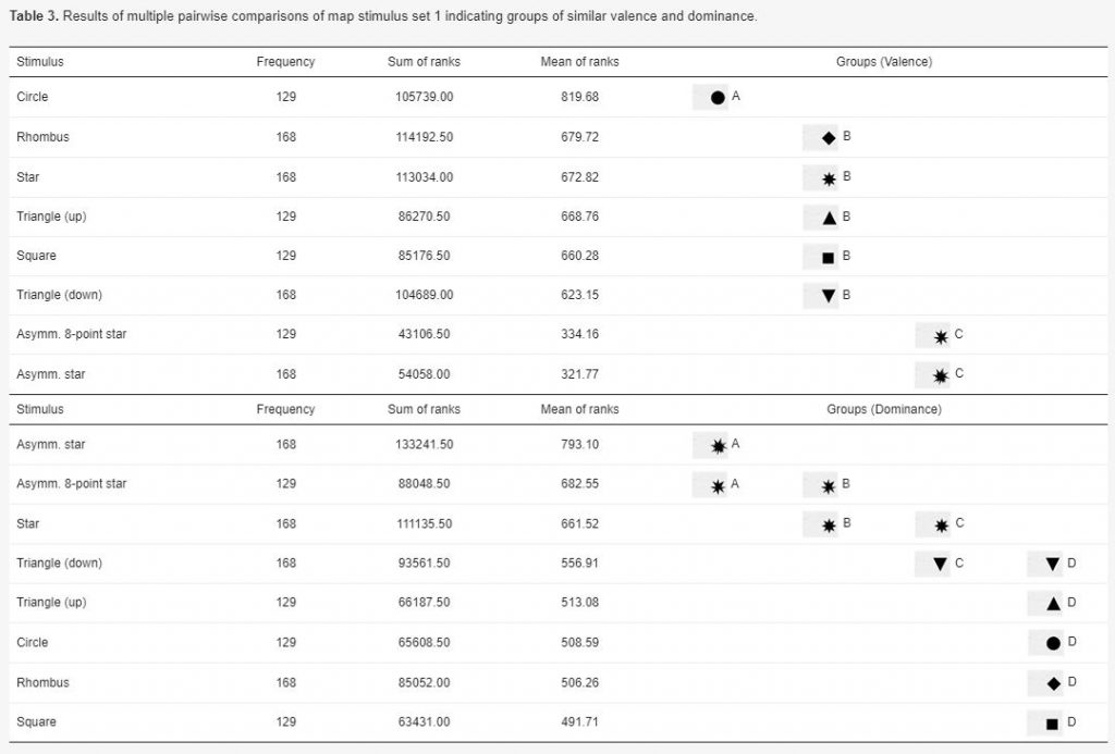
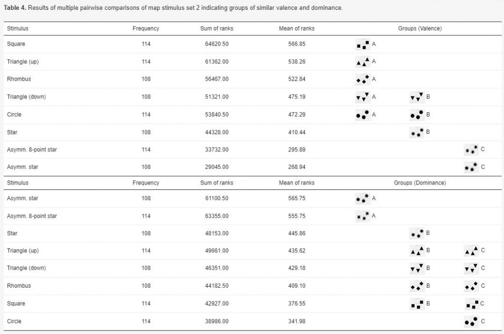
“Conceptualizing and Validating the Trustworthiness of Maps through an Empirical Study on the Influence of Cultural Background on Map Design Perception” explores how cartographic modelling fundamentally shapes map comprehension and trustworthiness analysis. It also outlines key aspects of map trustworthiness and proposes an epistemological approach to research, demonstrated through an empirical study.
To read the paper in full, visit https://www.mdpi.com/2220-9964/13/2/39.
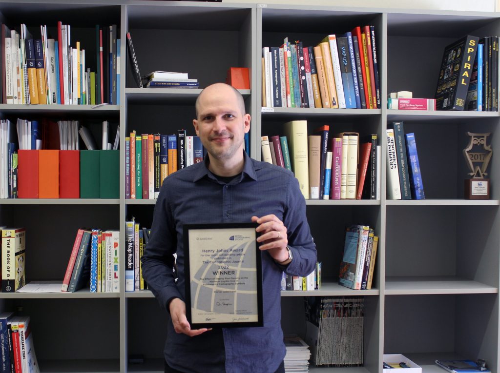
Henry Johns Award for Florian Ledermann
Congratulations to Florian Ledermann for winning the Henry Johns Award of the British Cartographic Society, awarded yearly for the best paper published in The Cartographic Journal. Florian’s paper “The Effect of Display Pixel Density on the Minimum Legible Size of Fundamental Cartographic Symbols” was chosen as the best paper of the year 2022.
“Part of my family has roots in the UK, so receiving this award from the British Cartographic Society means a lot to me, also on a personal level.” Florian will invest the prize money of 100£ to expand his personal collection of cartographic books and atlases.
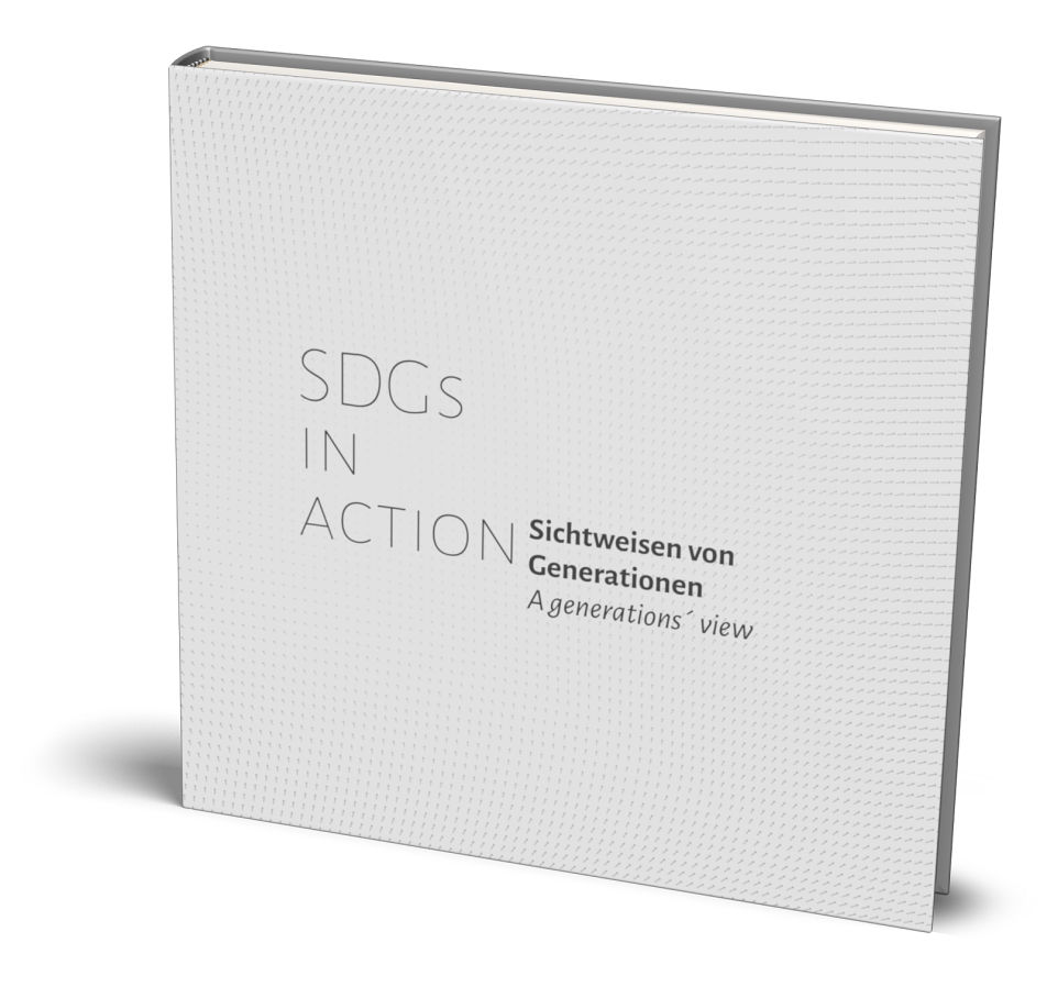
Atlas on SDGs in action
Our lecturer Dr. Markus Jobst has published an atlas on the Sustainable Development Goals. “SDGs in Action – A Generations` View” includes maps, statements and biographies of various contributors to illustrate different perspectives on today`s problems and motivations for establishing a sustainable world.
For more information or to get the printed or digital bilingual atlas in English / German, visit: https://sdggeneration.cartography.at/
Congratulations, Markus, on this valuable work!
Doctoral defense of Silvia Klettner
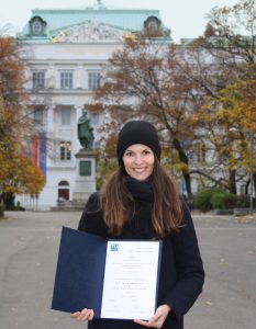
Silvia Klettner has successfully defended her dissertation titled “The Polysemy of Map Signs: An Exploration of the Connotative Meanings of Cartographic Point Symbols”.
Her supervisor was Prof. Gartner from our Research Unit Cartography; reviewers were Prof. Michael P. Peterson from the University of Nebraska Omaha, USA and Dr. Amy Griffin from the RMIT University in Australia.
Congratulations, Dr. Klettner, and all the best for your future!
Read more about Dr. Klettner`s research here.
Best Paper Award goes to Silvia Klettner
We are proud to announce that Silvia Klettner’s research on cartographic semiotics received TU Wien’s Best Paper Award 2019 from the Faculty of Mathematics and Geoinformation:
Continue reading “Best Paper Award goes to Silvia Klettner”Affective Communication of Map Symbols ‒ Paper by Silvia Klettner published in the ISPRS International Journal of Geo-Information
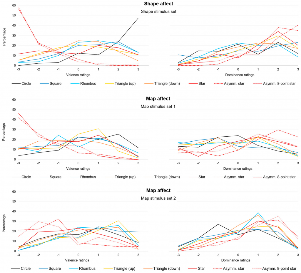
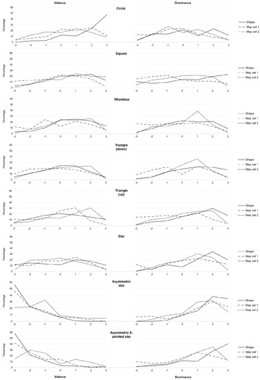
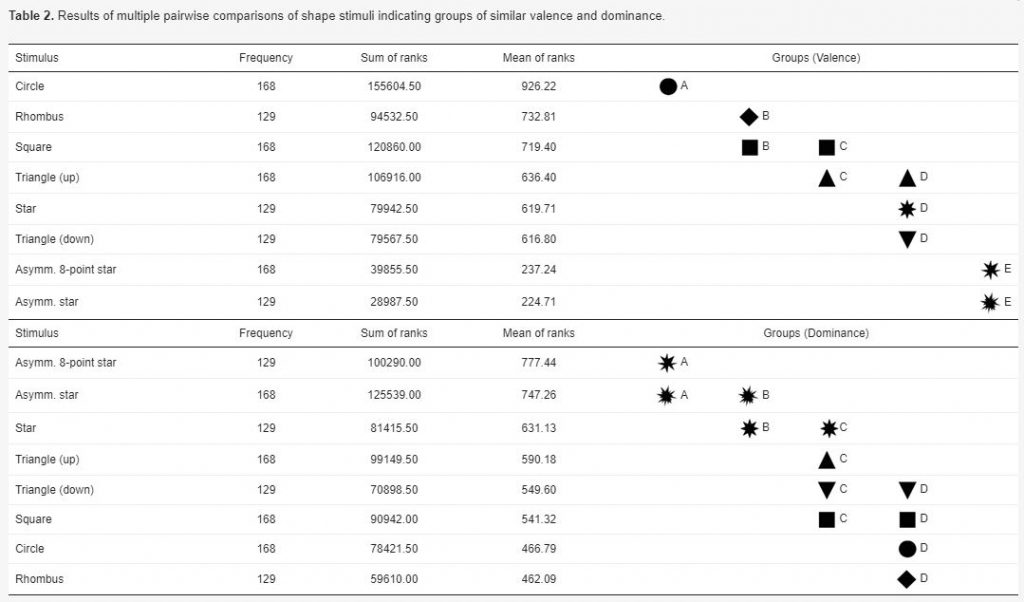
Silvia Klettner’s work on the subtle communication effects of map symbols was recently published in the ISPRS International Journal of Geo-Information in the Special Issue on Geovisualization and Map Design: Klettner, S. (2020). Affective Communication of Map Symbols: A Semantic Differential Analysis. ISPRS International Journal of Geo-Information, 9(5), 289.
Maps enable us to relate to spatial phenomena and events from viewpoints far beyond direct experience. By employing signs and symbols, maps communicate about near as well as distant geospatial phenomena, events, objects, or ideas. Besides acting as identifiers, map signs and symbols may, however, not only denote but also connote. While most cartographic research has focused on the denoting character of visual variables, research from related disciplines stresses the importance of connotative qualities on affect, cognition, and behavior. Hence, this research focused on the connotative character of map symbols by empirically assessing the affective qualities of shape stimuli.
Preview results:
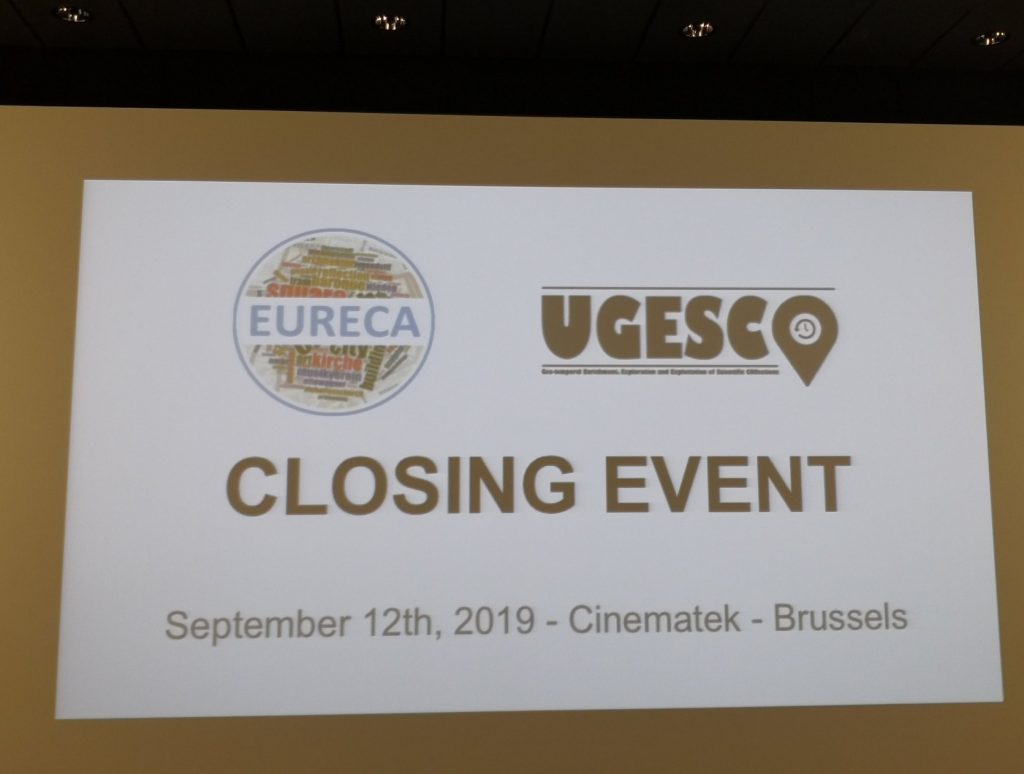
The EURECA project closing event in Brussels
On last Thursday 12th the closing event of the EURECA/UGESCO projects was held at Cinematek, the Royal Belgian Film Archive in Brussels. EURECA is an international cooperation of the TU Wien, the Ghent University and several Belgian and Austrian archives focused on revealing inter-regional traces in Europe.
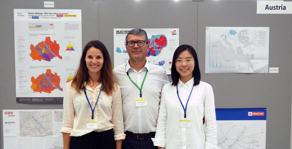
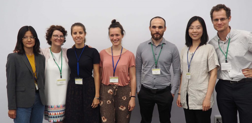
Results were presented by Steven Verstockt, Nico Van de Weghe, Kenzo Milleville, Dilawar Ali, Georg Gartner and Francisco Porras Bernárdez. We will extend further our excellent cooperation with our colleagues.
(Images from ÖKF Brüssel)
More information about EURECA can be found here.
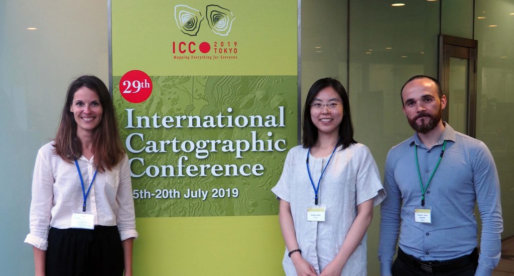
The research group’s contributions at ICC2019
This year’s 29th International Cartographic Conference (ICC) took place in Tokyo, Japan, with over 950 participants. The members of the Research Division Cartography and its affiliates also contributed their latest works by Scientific Presentations, Scientific Posters, Maps, and Atlases. With a Position Paper, the research group also participated in the pre-conference workshop in Beijing, China on “User Experience Design for Mobile Cartography: Setting the Agenda”. Read more to access all contributions.
Continue reading “The research group’s contributions at ICC2019”
Recent publications on Location Based Services
Location Based Services are a main research focus of the Research Division Cartography as our recent publications in the field show:
User-centred design for smartwatch-based pedestrian navigation
The characteristics of a smartwatch impose several challenges regardig the design of a pedestrian navigation aid. This paper illustrates how landmark-based pedestrian navigation systems for smartwatches can be developed, considering the small screen sizes as well as the very limited interaction capacities of these wrist-worn devices. Particularly, by the use of a user-centred design approach, an initial user interface was developed, tested, and refined in two field experiments to create a final user interface. A combination of map view and direction view was proposed, where the map view provides an overview of the environment and route, while the direction view gives clear instructions (turning information) for decision points. The interface was further enhanced by the use of vibrations before decision points. In addition, landmarks were carefully considered and incorporated into both map view and direction view. The field experiments showed that these key features of the revised interface can effectively support pedestrian navigation via smartwatches.
from: Applying user-centred design for smartwatch-based pedestrian navigation system. Martin Perebner, Haosheng Huang & Georg Gartner, Journal of Location Based Services, DOI: 10.1080/17489725.2019.1610582
A research agenda for Location based services
We are now living in a mobile information era, which is fundamentally changing science and society. Location Based Services (LBS), which deliver information depending on the location of the (mobile) device and user, play a key role in this mobile information era. This article first reviews the ongoing evolution and research trends of the scientific field of LBS in the past years. To motivate further LBS research and stimulate collective efforts, this article then presents a series of key research challenges that are essential to advance the development of LBS, setting a research agenda for LBS to ‘positively’ shape the future of our mobile information society. These research challenges cover issues related to the core of LBS development (e.g. positioning, modelling, and communication), evaluation, and analysis of LBS-generated data, as well as social, ethical, and behavioural issues that rise as LBS enter into people’s daily lives.
from: Location based services: ongoing evolution and research agenda. , Journal of Location Based Services, 12:2, 63-93, DOI: 10.1080/17489725.2018.1508763
Why Shape Matters ‒ Paper by Silvia Klettner published in the ISPRS International Journal of Geo-Information
Silvia Klettner’s work on inherent qualities of geometric shapes for cartographic representations was successfully published in the ISPRS International Journal of Geo-Information 2019, 8(5), 217 in the Special Issue on Human-Centered Geovisual Analytics and Visuospatial Display Design:
All human communication involves the use of signs. By following a mutually shared set of signs and rules, meaning can be conveyed from one entity to another. Cartographic semiology provides such a theoretical framework, suggesting how to apply visual variables with respect to thematic content. However, semiotics does not address how the choice and composition of such visual variables may lead to different connotations, interpretations, or judgments. The research herein aimed to identify perceived similarities between geometric shape symbols as well as strategies and processes underlying these similarity judgments. Based on a user study with 38 participants, the (dis)similarities of a set of 12 basic geometric shapes (e.g., circle, triangle, square) were examined. Findings from cluster analysis revealed a three-cluster configuration, while multidimensional scaling further quantified the proximities between the geometric shapes in a two-dimensional space. Qualitative and quantitative content analyses identified four strategies underlying the participants’ similarity judgments, namely visual, affective, associative, and behavioral strategies. With the findings combined, this research provides a differentiated perspective on shape proximities, cognitive relations, and the processes involved.