
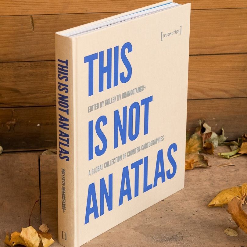
Über vier Jahre hat kollektiv orangotango sogenannte counter-cartographies – widerständige Kartierungen – aus der ganzen Welt zusammengetragen. Die Sammlung zeigt, wie kritische Karten gemacht und genutzt werden – als Teil von politischen Kämpfen, kritischer Wissenschaft, Kunst und Bildungsarbeit. Der kürzlich im Transcript-Verlag erschienene Atlas enthält auch einen Beitrag von Florian Ledermann zu einer Karte aus dem genderATlas.
Continue reading “This Is Not an Atlas ‒ eine globale Sammlung widerständiger Karten”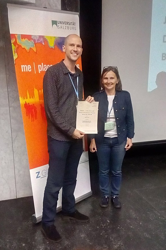
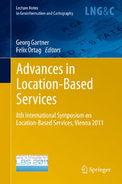 The book was published in the “Lecture Notes in Geoinformation and Cartography” Series by Springer. It contains selected papers of the “8th International Symposiums on Location-Based Services”, which was organized by Research Group Cartography in November 2011.
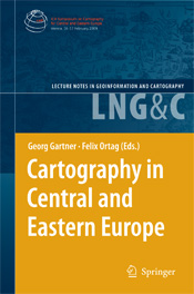 The book is part of the series “Lecture Notes in Geoinformation and Cartography” published by Springer. It contains selected papers of the symposium “Cartography in Central and Eastern Europe 2009” which was organized by Research Group Cartography together with the International Cartographic Association in February 2009.
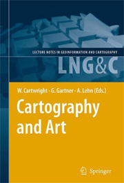 The book is part of the series “Lecture Notes in Geoinformation and Cartography” published by Springer. It contains selected papers of the symposium “Cartography and Art – Art and Cartography” which was organized by Research Group Cartography together with Academy of Fine Arts Vienna in February 2008.
 Der Artikel
  Our Ph.D. student and colleague