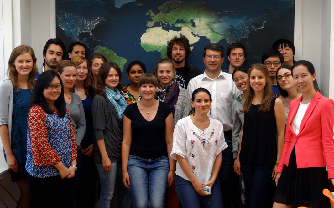

In der VU Thematische Kartographie in der Raumplanung (3. Semester) geht es um die Aufbereitung statistischer Daten und deren wirkungsvolle Umsetzung in thematischen Karten. Als Abschlussprojekt werden in Gruppenarbeiten Atlanten zu frei wählbaren Themen erstellt, wobei alle geographischen und statistischen Daten aus offenen Datenquellen (z.B. Open Government Data) stammen. Dabei entsteht jedes Jahr eine Vielzahl spannender Themenkollektionen und Visualisierungen. Einige der besonders gelungenen Arbeiten aus dem WS2013/14 möchten wir im folgenden vorstellen:


- Energie-Atlas von Christina Grießler, Christoph Weber, Manuel Oberaufner und Anna Logar (1.8mb)
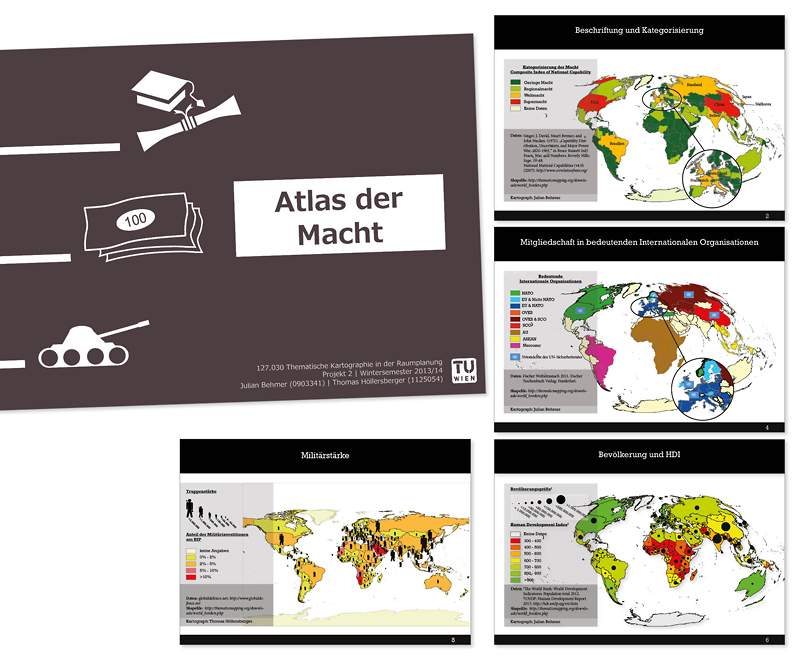
- Atlas der Macht von Julian Eros Behmer und Thomas Höllersberger (13mb)
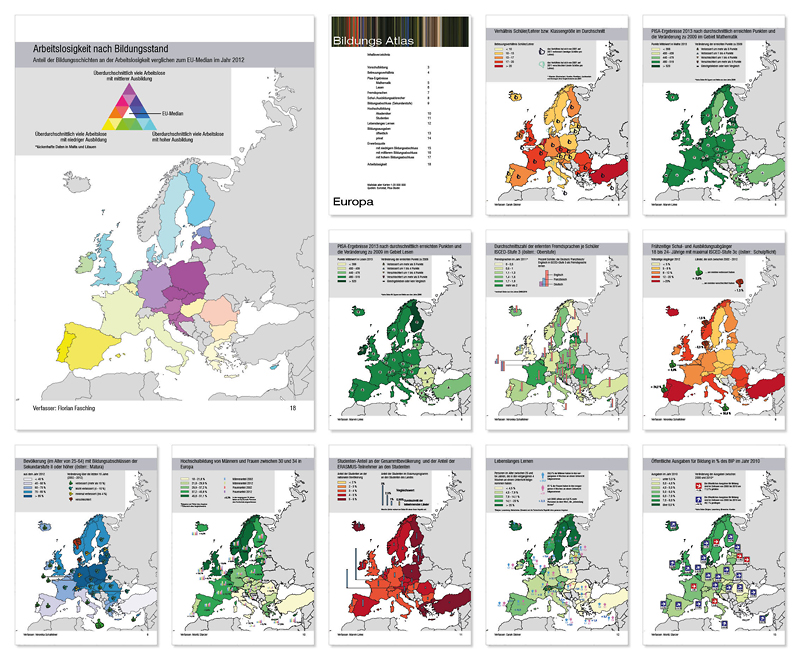
- Bildungs-Atlas von Florian Maria Fasching, Sarah Steiner, Marvin Linke, Moritz Starzer und Veronika Schafellner (15mb)
- Gesundheitsatlas von Eva Mair, Isabel Zelger, Michael Gidam, Charlotte Heller und Christoph Singelmann (37mb)
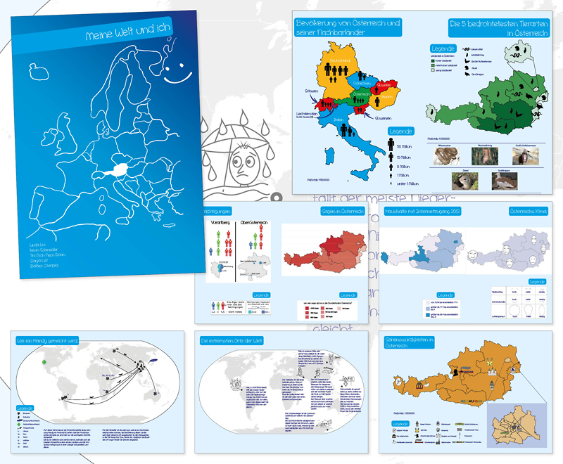
- Meine Welt und ich – Kinderatlas von Thi Bich Ngoc Doan, Linda Liu, Balázs Cserpes, Kevin Schneider und Sonja List (4.3mb)
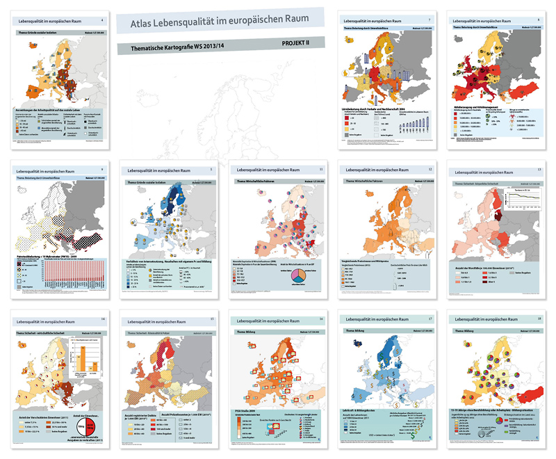
- Lebensqualität im europäischen Raum von Denise Goff, Maximilian Hejda, Waldemar Grunt, Solomon Gärtner und Srdjan Kuzmanovic (7mb)
Auch wenn alle Arbeiten ein sehr positives Gesamtes ergeben, gibt es an der einen oder anderen Stelle natürlich auch noch Raum für Verbesserungen… Die Studierenden aus dem 3. Semester stehen dafür aber auch noch ganz am Anfang ihrer kartographischen Betätigung 🙂
Danke an die Studierenden für ihr Engagement und die Einwilligung zur Veröffentlichung!
 This year our research group is involved in