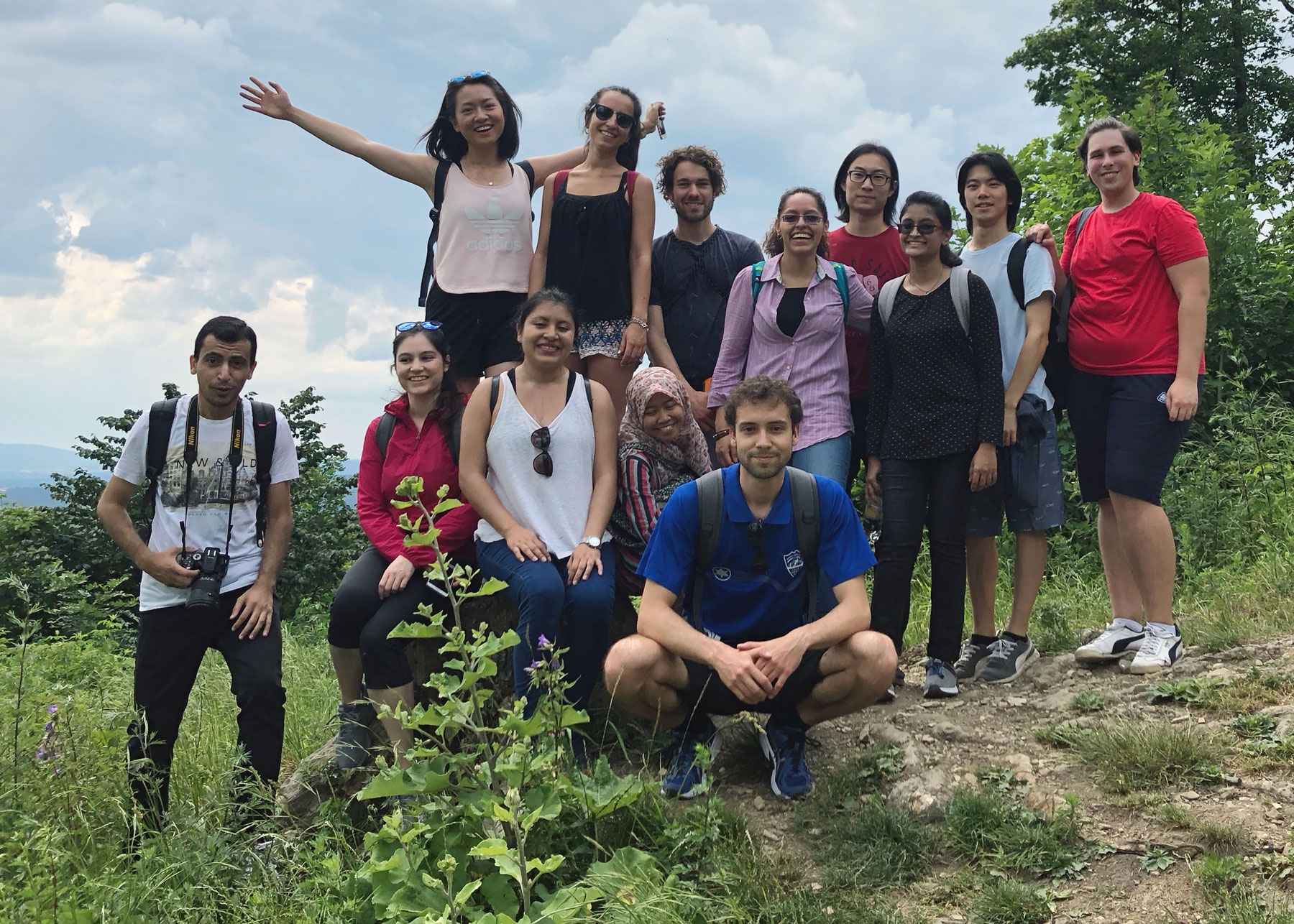
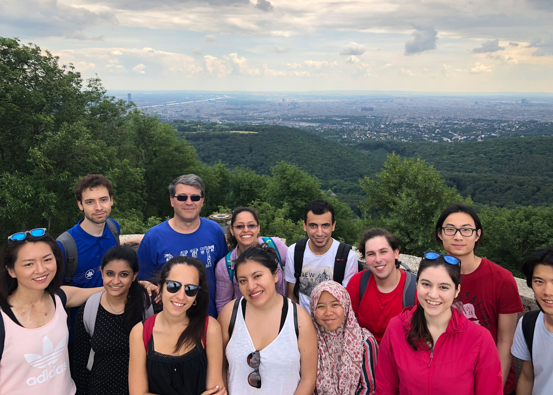
On June 16, students of the International Master of Cartography were invited on a hike to Hermannskogel. The hill is not only the highest peak of Vienna but also a geodetic fundamental point. The small exhibition at Habsburgwarte gave some insights into its history as the kilometre zero of cartographic measurements in Austria-Hungary.