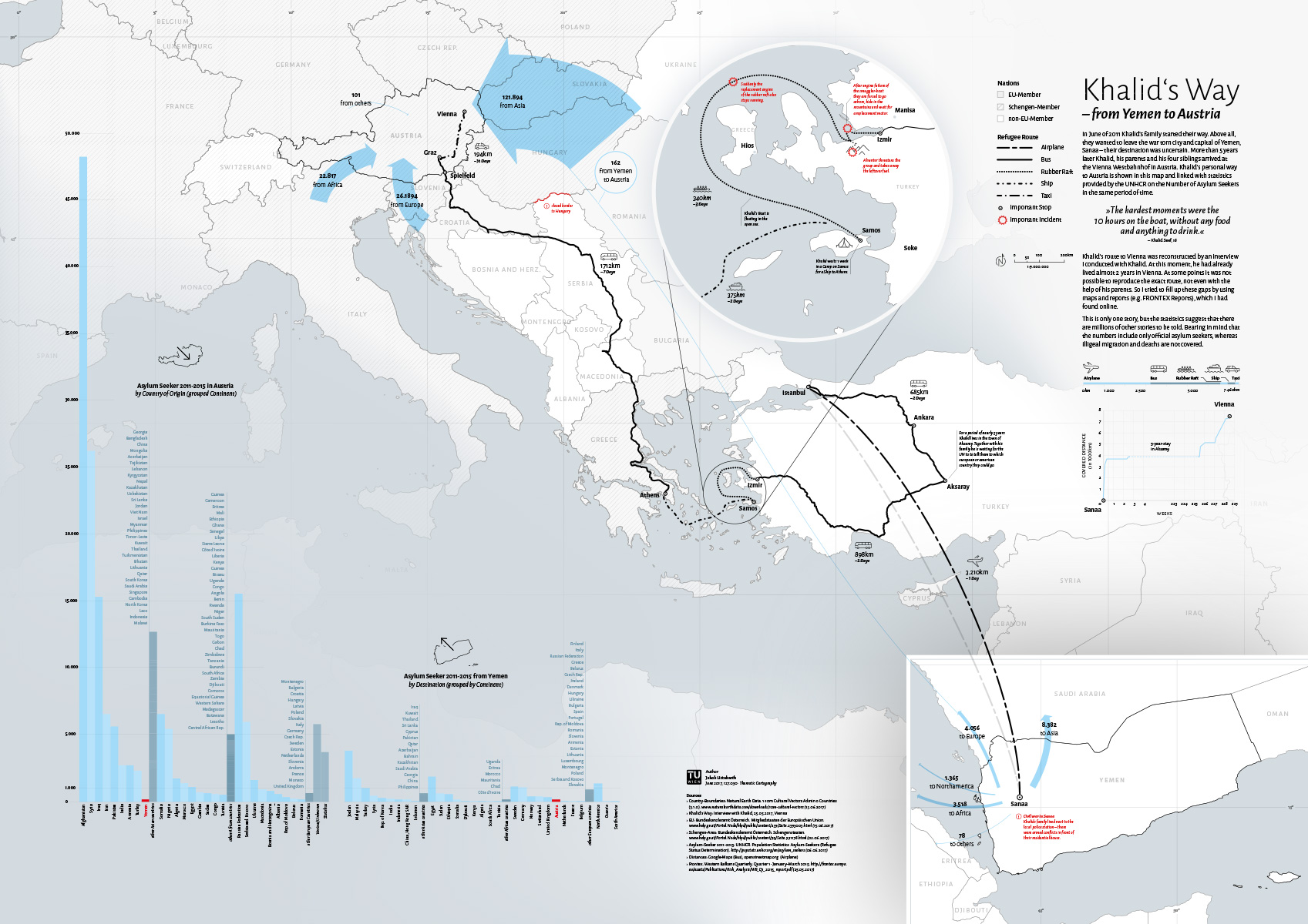
We would like to present you another wonderful student project from this summer semester created within the class Thematic Cartography, a third semester bachelor class for Spatial Planning students. The map is called Khalid’s Way and was created by Jakob Listabarth. He describes his work in the following way:
This map tells the story of Khalid’s journey from Yemen to Austria. It shows merely one personal refugee-story out of the countless other ones, which we normally only hear about through statistics, in newspapers, or from television.
Jakob Listabarth studies Spatial Planning at the Technical University of Vienna. Before that, he studied Information Design where he focused, among other things, on how to present facts in a more user-friendly way by using shapes and colours. Jakob’s passion is using his knowledge from both disciplines in order to tell socially relevant stories in an engaging way.
Congratulations on your impressive work, Jakob!
Enjoy some of the lovely details in the following images or download the map as PDF (2MB).
Continue reading “Another impressive student map: Khalid’s Way”
 The Vienna University of Technology through Prof Georg Gartner was accepted as member of the Academic Network of the United Nations Committee on Experts of Global Geospatial Information Management (UN-GGIM).







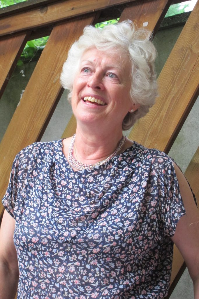 Mit großer Bestürzung haben wir vom Ableben unser langjährigen Kollegin