Great student projects from summer semester 2021

As in former semesters, we would like to showcase a selection of extraordinary student projects from this summer semester.

Project Map Creation

The following maps are results from the class Project Map Creation:
Kamran on Bike
Kamran on Bike by Hassam Ali (jpg, 3,3mb)

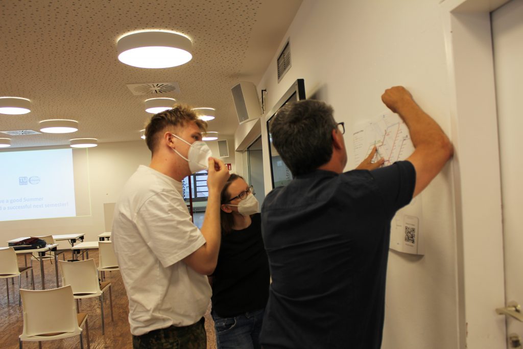
Transit Map of Vienna (Redesign of the official map)
Transit Map of Vienna (Redesign of the official map) by Iaroslav Boretskii (pdf, 3,5mb)

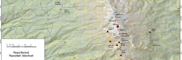
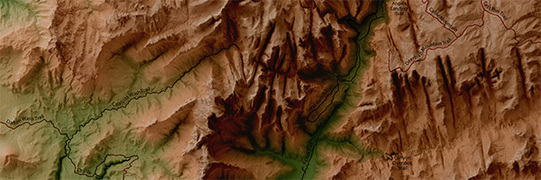
Iztaccihuatl - Popocatepetl Hiking Map
Iztaccihuatl – Popocatepetl Hiking Map by Jose Pablo Ceballos Cantu (jpg, 2,7mb)

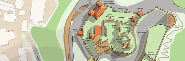
Wertheim Castle
Wertheim Castle by Valerian Lange (pdf, 1,9mb)

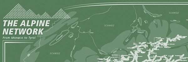
The Alpine Network
The Alpine Network by Sangho Lee (jpg, 7,3mb)

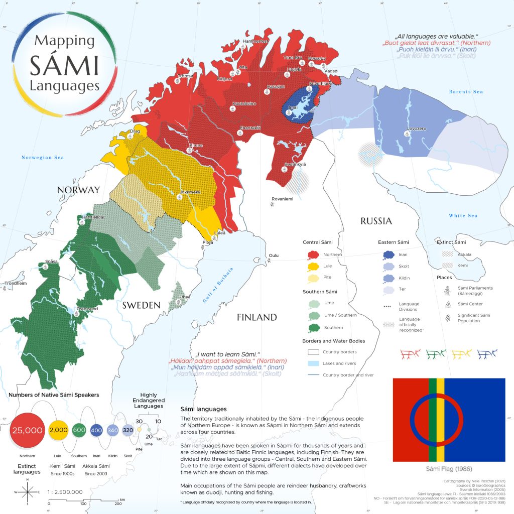
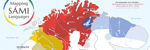
Mapping SÁMI Languages
Mapping SÁMI Languages by Nele Peschel (jpg, 5,2mb)

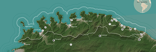
Ecoturism in Tayrona National Natural Park
Ecoturism in Tayrona National Natural Park by Ana Oliva Pinilla Pachon (jpg, 2,8mb)

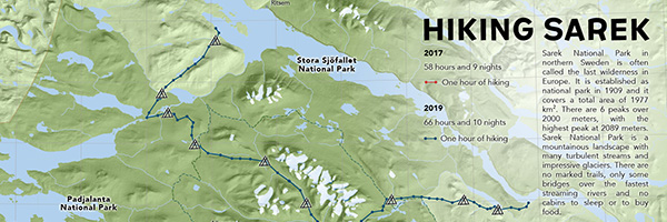
Hiking Sarek
Hiking Sarek by Vivien van Dongen (jpg, 4,4mb)

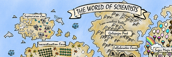
The World of Scientists
The World of Scientists by Hsiang-Yun Wu (png, 6,7mb)

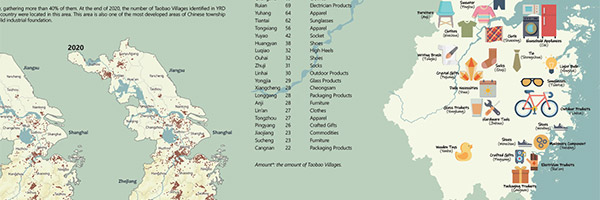
A Glance at Taobao Villages in the Yangtze River Delta
E-commerce Revitalizes Rural China: A Glance at Taobao Villages in the Yangtze River Delta by Zhuo Yang (jpg, 3mb)

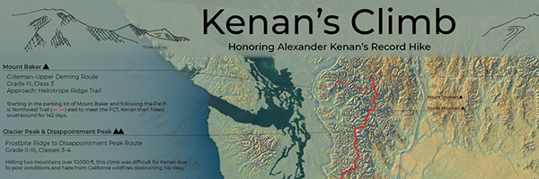
Kenan’s Climb: Honoring Kenan's Record Hike
Kenan’s Climb: Honoring Kenan’s Record Hike by Lydia Youngblood (jpg, 4,4mb)

A huge thank you to all students for their hard work in this busy summer semester. Enjoy the summer!

Results from earlier semesters can be found here:
2020 | 2019 | 2018 | 2017 | 2016 | 2015 | summer 2014 | winter 2014 | 2013 | 2012

Farewell to the 10th intake of the International Master in Cartography

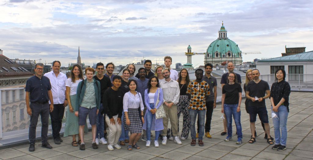
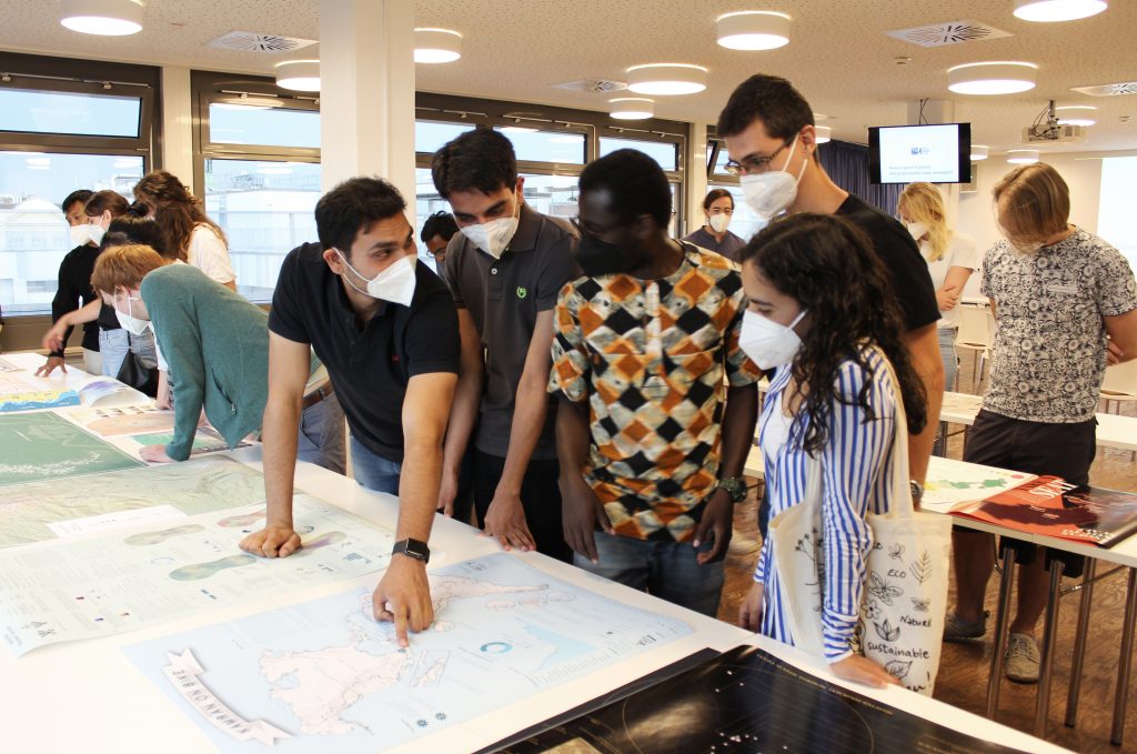
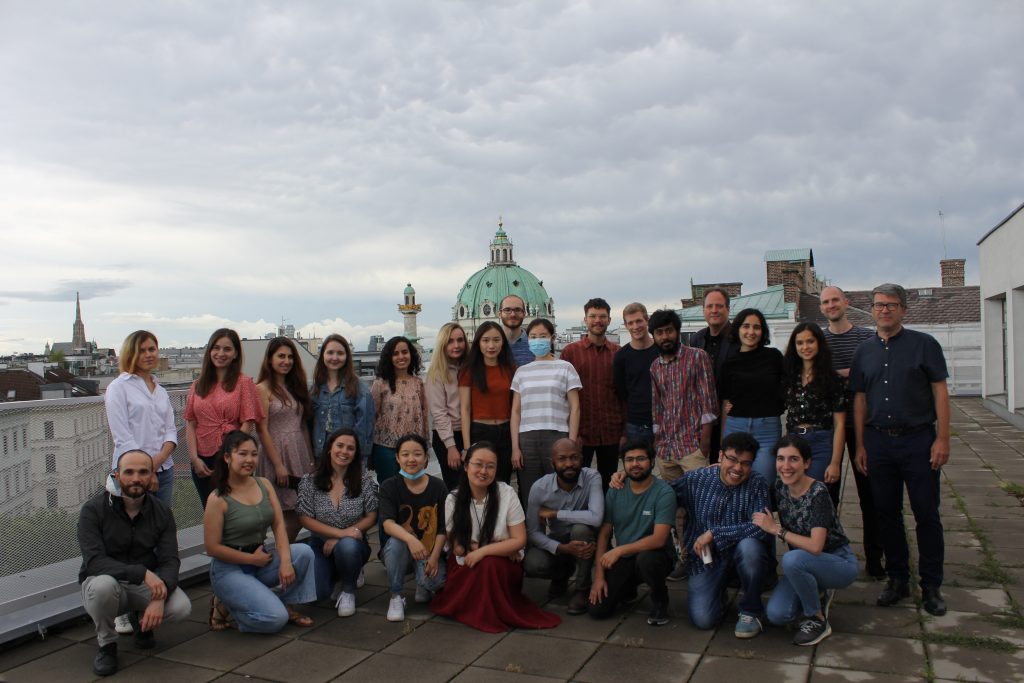
Students of the International Master Programme in Cartography have finished their “Viennese Semester”. In a farewell session, we showcased the results of their hard work and reviewed the summer term. 

We wish our students all the best and a great time at TU Dresden for their third semester!

To find out more about the International Master in Cartography, please visit cartographymaster.eu.

Welcome 10th intake!

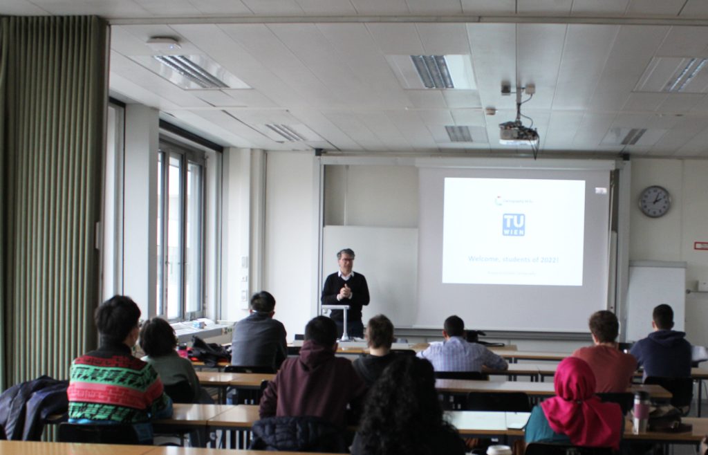
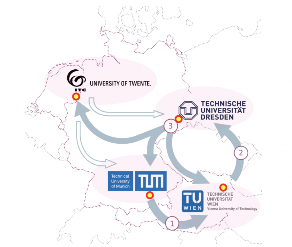
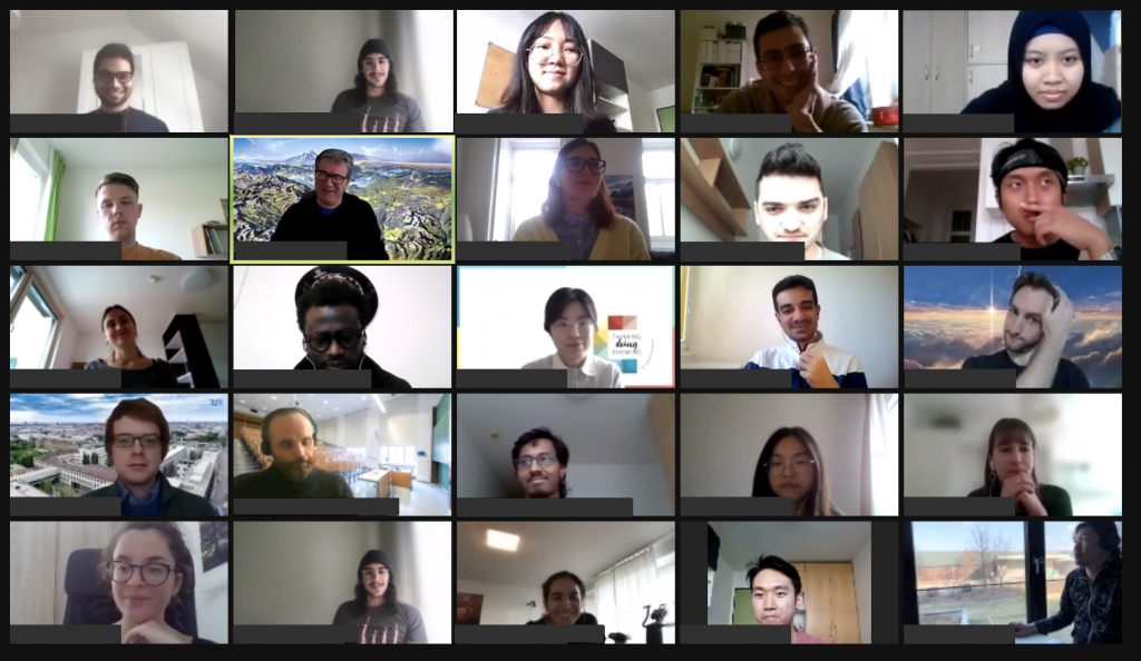
We are happy to welcome 29 students from 20 different countries to the International Master in Cartography program! After finishing their first semester at TU München and before they move to Dresden, the students will stay with us at TU Vienna for the summer semester of 2021.

Despite the circumstances, we wish all students a great and successful time in Vienna!

To find out more about the International Master in Cartography, please visit cartographymaster.eu.

Great student projects from summer semester 2020

As in former semesters, we would like to showcase a selection of extraordinary student projects from this summer semester.

Project Map Creation

The following maps are results from the class Project Map Creation:

Zion National Park
Zion National Park by Anouska Jaspersen (jpg, 5.1mb)
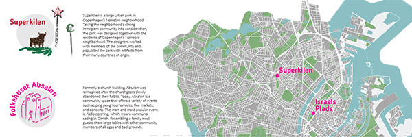
An Urbanist's Guide to Copenhagen
An Urbanist’s Guide to Copenhagen (folder) by Ceren Dolma (animated gif, 2.7mb)
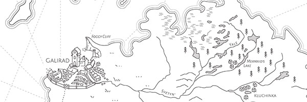
The World of Wolfhound
The World of Wolfhound by Milana Glebova (jpg, 2.5mb)
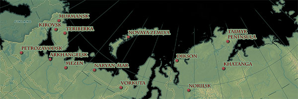
Where the Northern Lights Occur in Russia
Where the Northern Lights Occur in Russia by Nina Ioseliani (jpg, 3.9mb)
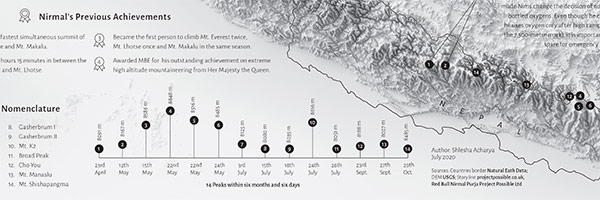
Project Possible - Journey of Nirmal “Nims” Purja in Mountaineering History
Project Possible – Journey of Nirmal “Nims” Purja in Mountaineering History by Shlesha Acharya (jpg, 3.4mb)
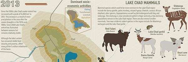
Shrinking Lake Chad
Shrinking Lake Chad (flipbook) by Stephanie Fovenyessy (animated gif, 4.5mb)

Multimedia-Cartography and Geocommunication

The following projects were created within the class Multimedia-Cartography and Geocommunication:

Novaya Zemlya. A carto-cast about Willem Barentsz – a navigator, cartographer and Arctic explorer by Jaspersen Anouska, Kurumbayeva Nargiz​, Acharya Shlesha, and Fovenyessy Stephanie: https://storymaps.arcgis.com

Novaya Zemlya  

100 questions about cartography. A platform aiming at helping to develop an answer to the question “What is cartography?” by Ceren Dolma, Jesse Friend, Mariam Gambashidze​, and Jakob Listabarth​: https://whatiscartography.netlify.app/
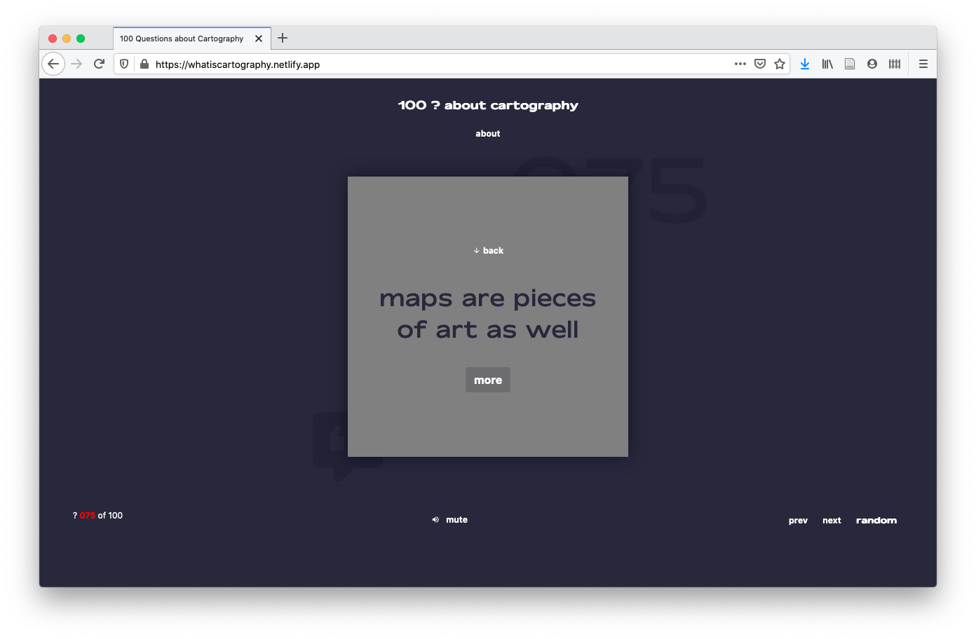
100 questions about cartography  

What is cartography? People’s perspectives in a word. ​A video by Estefania Ruiz Martinez, Sadhman Sadik, Md Imtiaz Uddin, and Julius Nyonyo​: www.youtube.com/watch?v=ckMQlxmwoMM

What is cartography? People's perspectives in a word.  

What is Cartography? An interactive animation. An interactive video by Festina Sadiku, Junru Lin, and Mengyao Gao​: www.bilibili.com/video/BV1bt4y1Q7A1/

What is Cartography? An interactive animation.

A huge thank you to all students for their hard work in this busy summer semester. Enjoy the summer!

Results from earlier semesters can be found here:
2019 | 2018 | 2017 | 2016 | 2015 | summer 2014 | winter 2014 | 2013 | 2012
Thanks to our prominent guest lecturers of summer term 2020!

This summer term we had the pleasure to e-host six international guest lecturers who shared their research with our students from the International Master in Cartography:

  • Prof. Dariusz Gotlib (TU Warszawa): Selected qualities of mobile maps on the indoor navigation examples
  • Prof. Michael Peterson (University of Nebraska Omaha): Paradigms guiding Cartographic Research since the 1950s
  • Dr. Amy Griffin (RMIT Melbourne): The User is the Centre of the Universe: Designing Interactive Maps for End Users
  • Prof. Philippe de Maeyer (Ghent University): Semiology and Syntaxis in Cartography
  • Prof. Philippe de Maeyer (Ghent University): A Brief History of Cartography
  • Prof. Menno-Jan Kraak (University of Twente): Maps and Time
  • Prof. Rob Roth (University of Wisconsin-Madison): Cartographic Design and Visual Storytelling

Master thesis defense on solar shadow map

We congratulate  Georg Molzer for finishing his Master’s studies with his thesis on “Interactive Web-based 3D Solar Shadow Map“.

Nowadays, the majority of people live in cities, consisting of ever taller building structures, occluding more and more sunlight. Thus, humans are getting increasingly restricted from direct access to the Sun. This thesis claims that a tool, enabling humans to gain a better understanding of solar shadows in cities and around the world, would be beneficial. […] Such a tool should be able to consider relevant three-dimensional occluding structures such as buildings, terrain, and vegetation, as well as the actual Sun position, and visualize respective shadows for arbitrary points in time, providing predictability of solar shadows. […] Therefore, a methodology towards a capable prototype implementation is framed […].

For more details visit the project website shadowmap.org.

Well done and best wishes for your future career!

Cartography M.Sc. Alumni Meeting 2019

From October 10-12, 2019, the first Cartography M.Sc. Alumni Meeting took place, hosted by TU Munich. The alumni of all former intakes, fresh graduates, current students, and consortium members of the four cooperating universities met for the first time to learn, reconnect, and network.

Alumni, current students, and consortium members of the four cooperating universities

During the three-day event, the alumni from different intakes shared their career stories, gave professional advice, motivational mantras, and presented lessons learned after they left the Alma Mater.

For more impressions and details visit Cartography M.Sc. Alumni Meeting or follow the Cartography M.Sc. Program on Twitter.