Great student projects from summer semester 2021

As in former semesters, we would like to showcase a selection of extraordinary student projects from this summer semester.

Project Map Creation

The following maps are results from the class Project Map Creation:

Kamran on Bike
Kamran on Bike by Hassam Ali (jpg, 3,3mb)

Transit Map of Vienna (Redesign of the official map)
Transit Map of Vienna (Redesign of the official map) by Iaroslav Boretskii (pdf, 3,5mb)

Iztaccihuatl - Popocatepetl Hiking Map
Iztaccihuatl – Popocatepetl Hiking Map by Jose Pablo Ceballos Cantu (jpg, 2,7mb)

Wertheim Castle
Wertheim Castle by Valerian Lange (pdf, 1,9mb)

The Alpine Network
The Alpine Network by Sangho Lee (jpg, 7,3mb)

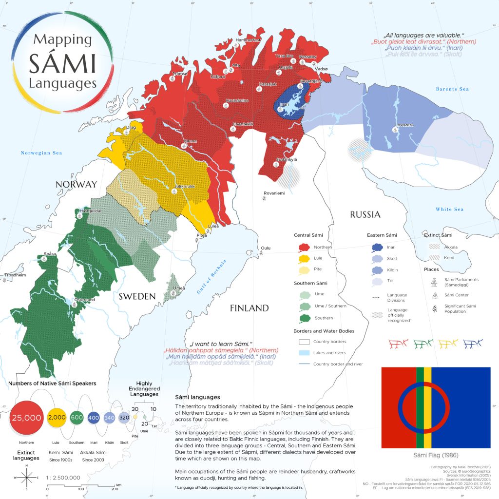
Mapping SÁMI Languages
Mapping SÁMI Languages by Nele Peschel (jpg, 5,2mb)

Ecoturism in Tayrona National Natural Park
Ecoturism in Tayrona National Natural Park by Ana Oliva Pinilla Pachon (jpg, 2,8mb)

Hiking Sarek
Hiking Sarek by Vivien van Dongen (jpg, 4,4mb)

The World of Scientists
The World of Scientists by Hsiang-Yun Wu (png, 6,7mb)

A Glance at Taobao Villages in the Yangtze River Delta
E-commerce Revitalizes Rural China: A Glance at Taobao Villages in the Yangtze River Delta by Zhuo Yang (jpg, 3mb)

Kenan’s Climb: Honoring Kenan's Record Hike
Kenan’s Climb: Honoring Kenan’s Record Hike by Lydia Youngblood (jpg, 4,4mb)

A huge thank you to all students for their hard work in this busy summer semester. Enjoy the summer!

Results from earlier semesters can be found here:
2020 | 2019 | 2018 | 2017 | 2016 | 2015 | summer 2014 | winter 2014 | 2013 | 2012

Call for Maps: Einladung zur Einreichung von Beiträgen zur International Cartographic Exhibition

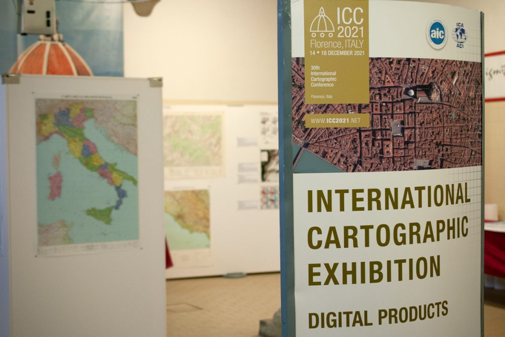
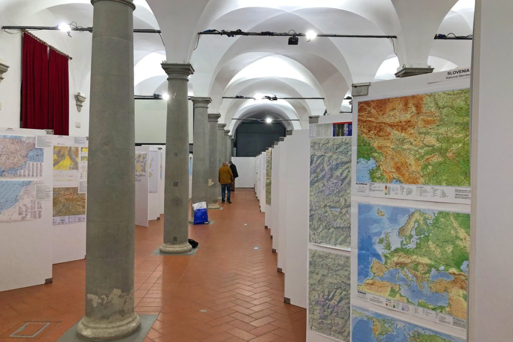
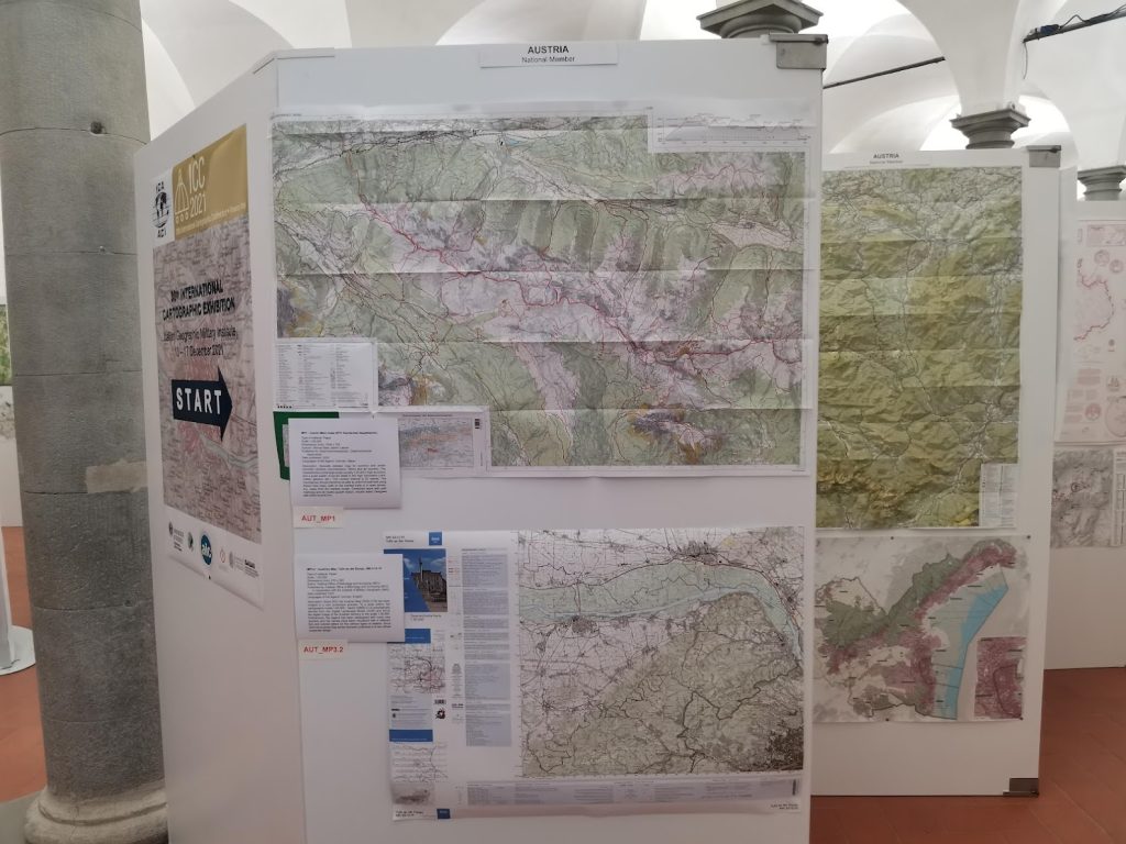
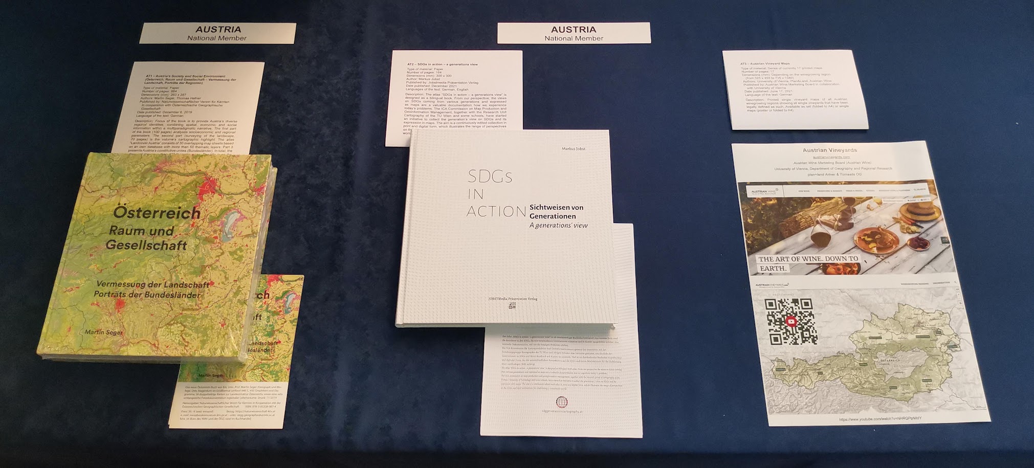
Vom 14.–18. Dezember 2021 findet in Florenz, Italien, die 30. International Cartographic Conference (ICC) statt. In diesem Rahmen wird auch wieder die International Cartographic Exhibition organisiert – eine Ausstellung für digitale und analoge Karten aus aller Welt.  Bis 26. Juli haben Sie die Möglichkeit, österreichische Beiträge für die Ausstellung zu nominieren! 

Warum teilnehmen?

  • Sichtbarkeit Ihres Produkts bei über 1.500 Kartographie- und GIS-ExpertInnen aus aller Welt bei der International Cartographic Conference (ICC 2021)
  • Listung im online verfügbaren Ausstellungskatalog
  • Chance, einen ICA Map Award zu gewinnen. ICA Map Awards eignen sich hervorragend als Marketinginstrument. Die ausgezeichneten Beiträge werden im Anschluss außerdem als Map of the Month auf der ICA-Website gefeatured und erreichen auf diese Weise eine hohe Sichtbarkeit.

Alle Infos zur Nominierung finden Sie unter sites.google.com/view/callformaps-2021.

Ansprechpartnerin für die österreichischen Beiträge bei der ICC-Kartenausstellung ist Manuela Schmidt.

Farewell to the 10th intake of the International Master in Cartography

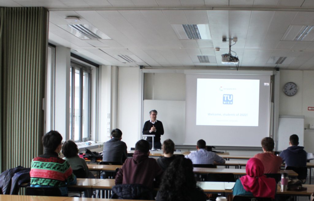
Students of the International Master Programme in Cartography have finished their “Viennese Semester”. In a farewell session, we showcased the results of their hard work and reviewed the summer term. 

We wish our students all the best and a great time at TU Dresden for their third semester!

To find out more about the International Master in Cartography, please visit cartographymaster.eu.

Doctoral defense of Silvia Klettner

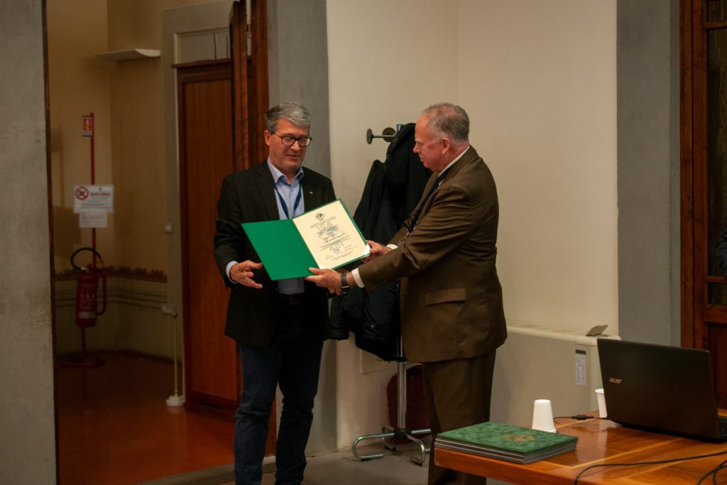
Silvia Klettner has successfully defended her dissertation titled “The Polysemy of Map Signs: An Exploration of the Connotative Meanings of Cartographic Point Symbols”.

Her supervisor was Prof. Gartner from our Research Unit Cartography; reviewers were Prof. Michael P. Peterson from the University of Nebraska Omaha, USA and Dr. Amy Griffin from the RMIT University in Australia.

Congratulations, Dr. Klettner, and all the best for your future!

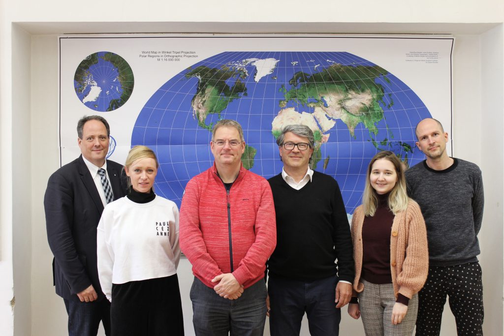
Dr. Silvia Klettner, Prof. Georg Gartner

Read more about Dr. Klettner`s research here.

Welcome 10th intake!

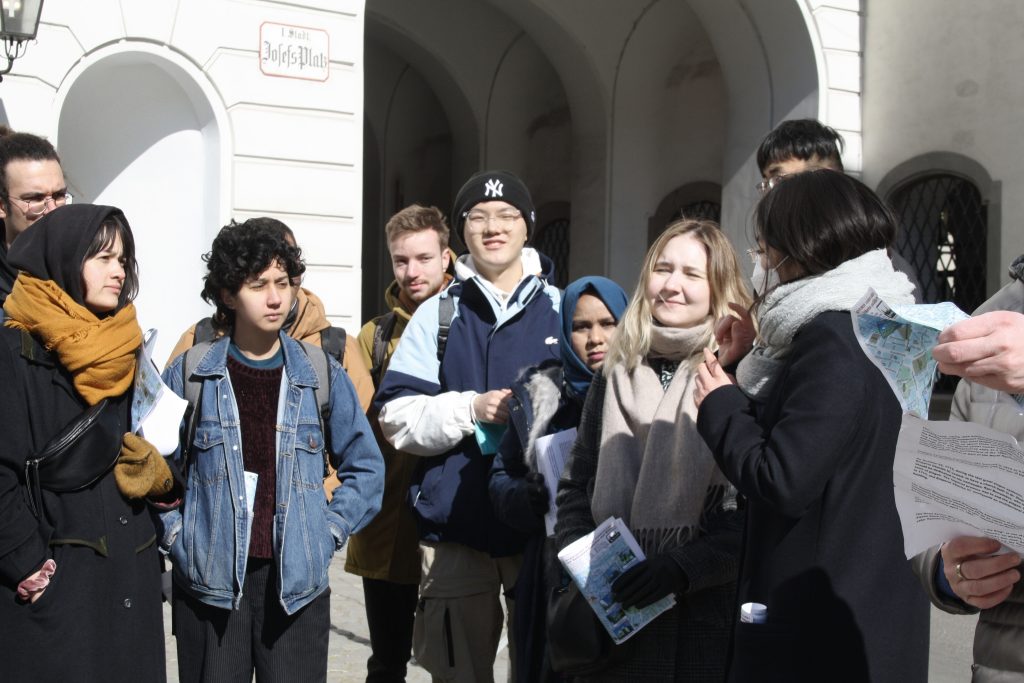
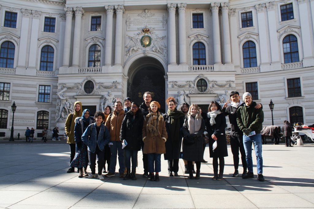
We are happy to welcome 29 students from 20 different countries to the International Master in Cartography program! After finishing their first semester at TU München and before they move to Dresden, the students will stay with us at TU Vienna for the summer semester of 2021.

Despite the circumstances, we wish all students a great and successful time in Vienna!

To find out more about the International Master in Cartography, please visit cartographymaster.eu.

Best Paper Award goes to Silvia Klettner

We are proud to announce that Silvia Klettner’s research on cartographic semiotics received TU Wien’s Best Paper Award 2019 from the Faculty of Mathematics and Geoinformation:

Klettner, S. (2019). Why Shape Matters — On the Inherent Qualities of Geometric Shapes for Cartographic Representations. ISPRS International Journal of Geo-Information, 8(5), 217.

Continue reading “Best Paper Award goes to Silvia Klettner”

EuroCarto 2020: Sept 21-25

The Research Division Cartography is proud to be participating in this year’s EuroCarto 2020, which is hosted as a virtual event:

  • Georg Gartner: Part of the organizational committee and chairing the sessions “COVID and Methodology”, “Innovations and Applications”, and “Design”
  • Silvia Klettner: Scientific talk on “More than identifiers: Map symbols and their connotative meaning” (Sept 21)
  • Florian Ledermann: Scientific talk on “Classifying Cartographic Projections Based on Dynamic Analysis of Program Code” (Sept 24)

All contributions can be found in the detailed conference program.

The conference is jointly carried out by the German Society of Cartography (DGfK), the Austrian Cartographic Commission in the Austrian Geographic Society (ÖKK), the Swiss Society of Cartography (SGK), the University of Vienna, and endorsed by the International Cartographic Association. The conference is also recognized as an ICA Regional Cartographic Conference. For all conference details, visit the EuroCarto2020 website at eurocarto2020.org.

Great student projects from summer semester 2020

As in former semesters, we would like to showcase a selection of extraordinary student projects from this summer semester.

Project Map Creation

The following maps are results from the class Project Map Creation:

Zion National Park
Zion National Park by Anouska Jaspersen (jpg, 5.1mb)

An Urbanist's Guide to Copenhagen
An Urbanist’s Guide to Copenhagen (folder) by Ceren Dolma (animated gif, 2.7mb)

The World of Wolfhound
The World of Wolfhound by Milana Glebova (jpg, 2.5mb)

Where the Northern Lights Occur in Russia
Where the Northern Lights Occur in Russia by Nina Ioseliani (jpg, 3.9mb)

Project Possible - Journey of Nirmal “Nims” Purja in Mountaineering History
Project Possible – Journey of Nirmal “Nims” Purja in Mountaineering History by Shlesha Acharya (jpg, 3.4mb)

Shrinking Lake Chad
Shrinking Lake Chad (flipbook) by Stephanie Fovenyessy (animated gif, 4.5mb)

Multimedia-Cartography and Geocommunication

The following projects were created within the class Multimedia-Cartography and Geocommunication:

Novaya Zemlya. A carto-cast about Willem Barentsz – a navigator, cartographer and Arctic explorer by Jaspersen Anouska, Kurumbayeva Nargiz​, Acharya Shlesha, and Fovenyessy Stephanie: https://storymaps.arcgis.com

Novaya Zemlya  

100 questions about cartography. A platform aiming at helping to develop an answer to the question “What is cartography?” by Ceren Dolma, Jesse Friend, Mariam Gambashidze​, and Jakob Listabarth​: https://whatiscartography.netlify.app/

100 questions about cartography  

What is cartography? People’s perspectives in a word. ​A video by Estefania Ruiz Martinez, Sadhman Sadik, Md Imtiaz Uddin, and Julius Nyonyo​: www.youtube.com/watch?v=ckMQlxmwoMM

What is cartography? People's perspectives in a word.  

What is Cartography? An interactive animation. An interactive video by Festina Sadiku, Junru Lin, and Mengyao Gao​: www.bilibili.com/video/BV1bt4y1Q7A1/

What is Cartography? An interactive animation.

A huge thank you to all students for their hard work in this busy summer semester. Enjoy the summer!

Results from earlier semesters can be found here:
2019 | 2018 | 2017 | 2016 | 2015 | summer 2014 | winter 2014 | 2013 | 2012