Great student maps from Project Map Creation, summer semester 2016

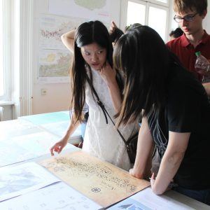
After a busy summer semester we would like to showcase a selection of extraordinary projects from the class Project Map Creation:

Budapest City Map, Li Junyan

Vinson Massif: Highlight in the Ellsworth Mountains (Antarctica), Jensen Alika
Vinson Massif: Highlight in the Ellsworth Mountains (Antarctica), Jensen Alika (pdf, 1mb)

Early Exploration of North America, Jílková Petra
Early Exploration of North America, Jílková Petra (pdf, 8.7mb)

Twisted discovery / Map of Vienna, Guo Kaidi
Twisted discovery / Map of Vienna, Guo Kaidi (pdf, 1mb)

Mystery of the Kladruby Monastery, Fenclová Karolína
Mystery of the Kladruby Monastery, Fenclová Karolína (pdf, 3mb)

UBahn-time-based map of Vienna, Han Keni
UBahn-time-based map of Vienna, Han Keni (pdf, 2.8mb)

Vienna’s Lost Waters, Paul Kästner
Vienna’s Lost Waters, Paul Kästner (pdf, 3mb)

Historic Map of Modern Vienna, Clemens Niessner

A huge thanks to all students for their hard work! Enjoy the summer.

Results from other classes might follow. Results from earlier semesters can be found here:
2015 | summer 2014 | winter 2014 | 2013 | 2012

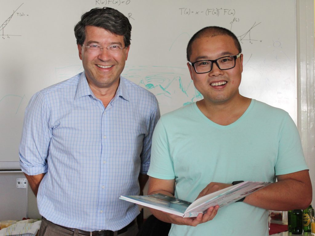
Goodbye, Haosheng Huang!

The long-standing staff member of our Research Group Dr Haosheng Huang is leaving TU Wien at the end of June to join the University of Zurich for his next career step.

Dr Huang was contributing heavily to the succesful work of our research group through his research contributions in several projects, his publications and the classes he gave over the last years.

He joined our group 2007 with a Computer Science Background gained at Guangzhou (China) and was a major proponent of our research focus on Location-based Services. He finished his PhD on “Learning from Location Histories for Location Recommendations in LBS” in 2013. In 2015, he became the Chair of the ICA Commission on Location-based Services.

We are looking forward to witness his next successful career steps.

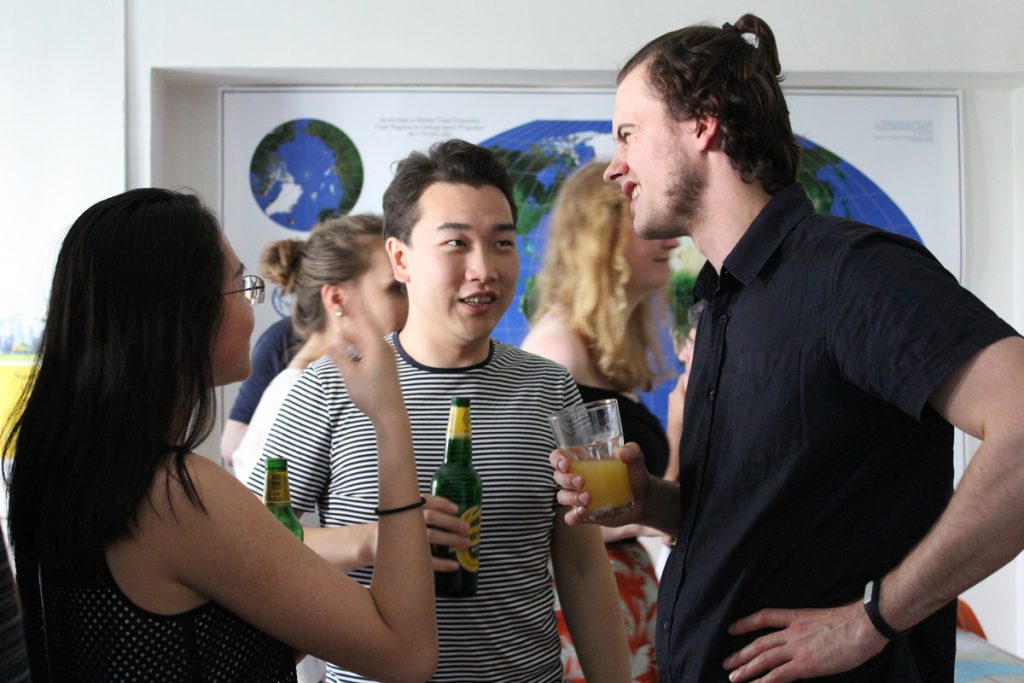
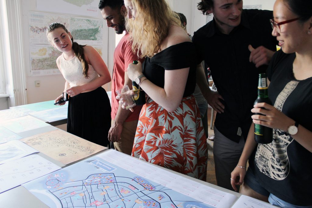
We organized a small farewell party with current and former colleagues:

IMG_2826

IMG_2836

IMG_2830

IMG_2815

IMG_2839

It was a pleasure working with you – we wish you all the best in Zürich!

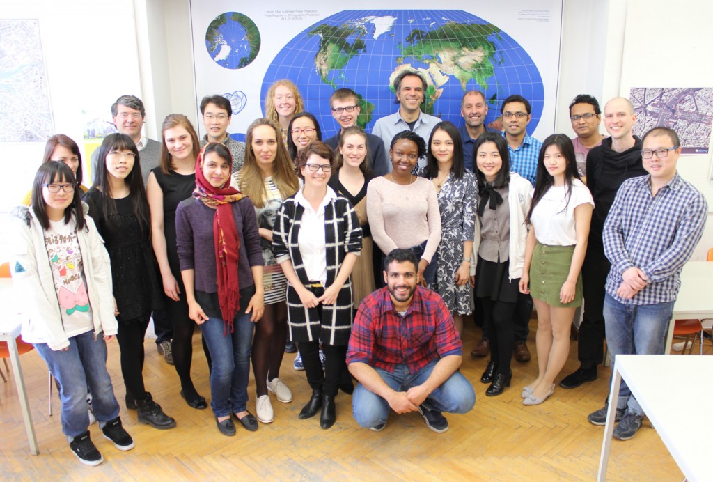
Farewell to the fifth intake of the International Master on Cartography

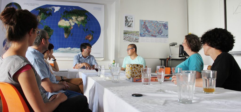
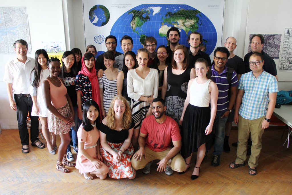
The fifth intake of the International Master Programme on Cartography has finished the “Vienna Semester” and is now heading to TU Dresden for the third semester. We organized a farewell session to review the semester and to showcase results of their hard work in this semester. 

farewell2016

farewell2016-4farewell2016-2

farewell2016-1

farewell2016-3

We wish them all the best!

To find out more about the International Master in Cartography, please visit cartographymaster.eu.

CartoTalk Benjamin Hennig: Cartograms – an alternative map projection?

We are happy to announce a CartoTalk by Benjamin Hennig on Tuesday, 31 May 2016, where he will talk about his main research field: Cartograms.

Benjamin Hennig is the author of www.viewsoftheworld.net

We need new maps: In a world increasingly influenced by human action and interaction, we still rely heavily on mapping techniques that were invented to discover unknown places and explore our physical environment. Starting from how people can be put on the map in new ways, this talk outlines the development of a novel technique that stretches a map according to quantitative data, such as population. The new maps are called gridded cartograms as the method is based on a grid onto which a density-equalising cartogram technique is applied. The underlying grid ensures the preservation of an accurate geographic reference to the real world. It allows the gridded cartograms to be used as basemaps onto which other information can be mapped. This applies to any geographic information from the human and physical environment. As demonstrated through the examples, the new maps can show any quantitative geospatial data, such as wealth, rainfall, or even the environmental conditions of the oceans. The new maps also work at various scales, from a global perspective down to the scale of urban environments. The gridded cartogram technique is proposed as an alternative map projection that is a viable and versatile alternative to other conventional map projections. The maps based on this technique open up a wide range of potential new applications to rediscover the diverse geographies of the world. They have the potential to allow us to gain new perspectives through detailed cartographic depictions.

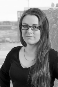
Benjamin Hennig

Benjamin is a geographer educated at the Universities of Cologne & Bonn and the Alfred Wegener Institute for Polar and Marine Research (Bremerhaven/Germany) where he conducted research on hyperspectral remote sensing applications in coastal ecosystems. After working as a research assistant and lecturer in human and urban geography at the Urban and Social Geography Working Group of the Department of Geography, University of Cologne (Germany) he joined the Social and Spatial Inequalities Research Group at the University of Sheffield (UK). He completed his PhD as part of the Worldmapper project with research on visualising the social dimensions of our planet. He then worked as a research assistant and then as a senior research fellow at the Department of Geography at the University of Sheffield investigating social inequalities, humanity’s impact on Earth, global sustainability and new concepts for the visualisation of these issues and now continues this work as a senior research fellow in the School of Geography and the Environment at the University of Oxford. Here he also is a member of the research cluster on Transformations: Economy, Society and Place.
more about Benjamin

Tuesday, 31 May 2016, 13:30 (1.30pm)
Gußhausstraße 25
EI5 Hochenegg

Meet & greet with representatives of all 4 partner universities of the International Master of Cartography

On April 14, the Research Group Cartography hosted a meeting of representatives of all partner universities of the Master of Cartography programme. We were happy to welcome programme coordinator Juliane Cron from Technische Universität München, Dirk Burghardt from TU Dresden and Corné van Elzakker from ITC, University of Twente.

int-master_meet-greet2

The students from the 5th intake, who spend the summer semester 2016 at TU Wien, had the chance to get to know the colleagues from Dresden and Twente and get information about upcoming classes and excursions.

To find out more about the International Master in Cartography, please visit cartographymaster.eu.

CartoTalk Anita Graser: QGIS for Cartography

We are very happy to host a CartoTalk by Anita Graser of the Austrian Institute of Technology (AIT) on Thursday, 28 April 2016.

Abstract: Since its founding fourteen years ago, QGIS has come a long way. Started as a mere data viewer, it now provides a vast array of GIS functionality, tool integration, extensible plugins, and—cartographic capability. Slighted in years past for its inability to make a “pretty” map, QGIS now provides a vast array of features for cartographers. This talk gives an overview of the current status of cartographic features in QGIS, discusses the most recent developments, and finally provides an outlook towards planned future developments.

© Anita Graser

Anita Graser is a researcher at the AIT Austrian Institute of Technology and an open source GIS advocate serving on the OSGeo board of directors and QGIS project steering committee. Her primary research interests focus on GIScience for mobility research questions, analyzing and visualizing spatio-temporal data. She currently teaches at the University of Applied Sciences Wiener Neustadt, and at UNIGIS Salzburg and the Technical University of Vienna. Furthermore, she publishes a popular blog on open source GIS at anitagraser.com and is author of Learning QGIS, and QGIS Map Design.

Thursday, 28 April 2016, 10:00
Forschungsgruppe Kartographie
Seminarraum 126

CartoTalk Irene Fellner: Indoor Navigation

We are very happy to host a CartoTalk by Irene Fellner of the Vienna University of Economy and Business (WU) on Thursday, 17 March 2016.
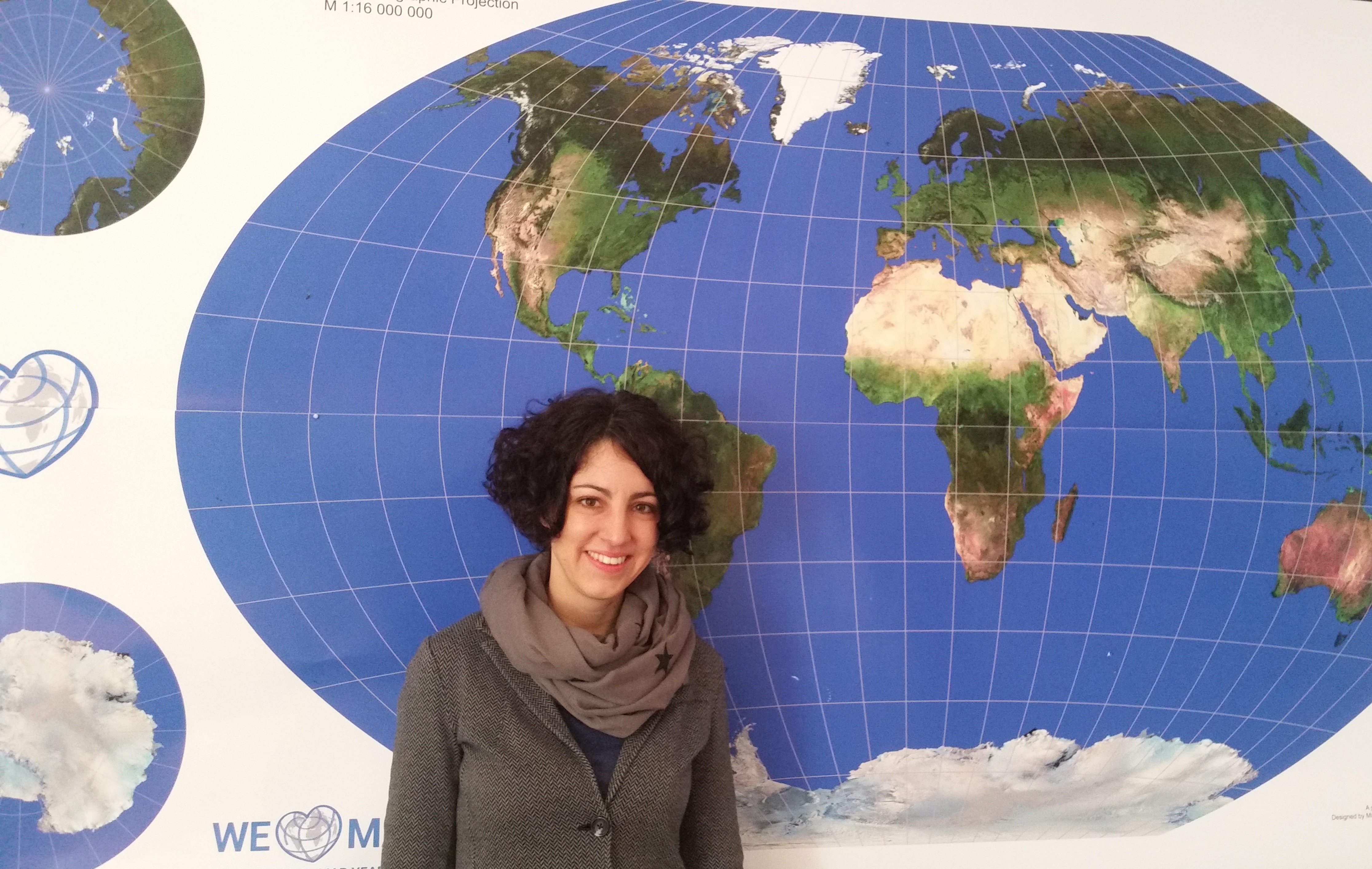
20160317_110527

Abstract: Indoor navigation systems have become a prominent area of interest in recent years. However, there are still some unresolved challenges in this context. In particular, the question in which way landmark-based indoor routing instructions can be generated automatically has not been addressed yet.

This talk introduces an Indoor Landmark Navigation Model (ILNM) which proposes an approach to generate indoor routing instructions including landmarks automatically, based on the information available in spatial indoor databases. The model consists of three phases: landmark identification, landmark selection and landmark integration.

In order to evaluate the ILNM, it was applied to the data of the Campus GIS of the Vienna University of Economics and Business. The application demonstrates that the ILNM basically produces correct route instructions including landmarks. A comparison to solely metric-based instructions shows that landmarks are important to increase the quality of indoor route instructions. However, the generated route instructions also disclose some gaps in the model and unresolved challenges of automatic indoor routing generation.

Irene Fellner is employed as a project manager at IT-Services of Vienna University of Economy and Business (WU) and was responsible for the development of an indoor navigation system („Campus GIS“) for the new campus of WU. She studied Commerce majoring in Computer Science at WU and completed the postgraduate UNIGIS MSc studies.

Thursday, 17 March 2016, 10:00
Forschungsgruppe Kartographie
Seminarraum 126

Save the date: CartoTalks in summer semester 2016

cartotalks_tuw_200pxWe are happy to announce the following CartoTalks for summer semester: 

Past

Aufnahmen vom #CartoSummit online verfügbar

cartosummit

Auf Initiative der International Cartographic Association und der Firma ESRI fand vom 8.–10.Februar 2016 in Redlands, USA, ein Cartographic Summit statt mit der Idee, mögliche Entwicklungen der Zukunft der Kartographie auszuleuchten.

Zahlreiche KollegInnen aus verschiedensten Disziplinen trugen durch ihre Beiträge zum angedachten out-of-the-box thinking bei. Die Vorträge wurden mitgeschnitten und können unter esri.com/events/cartographic-summit/recordings nachgehört werden.