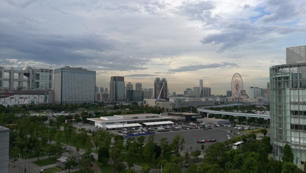
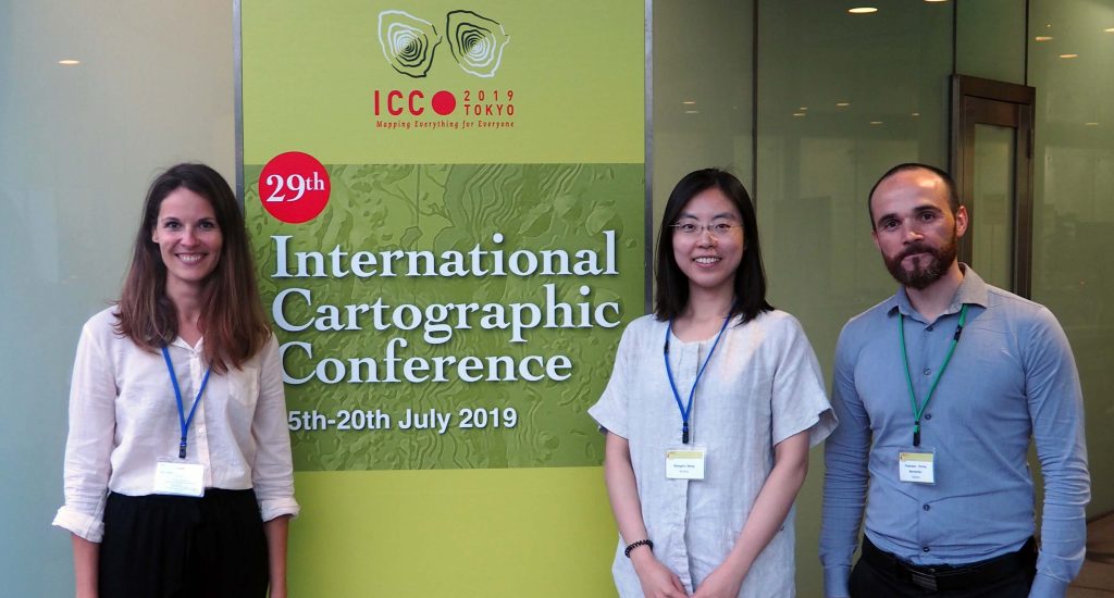
This year’s 29th International Cartographic Conference (ICC) took place in Tokyo, Japan, with over 950 participants. The members of the Research Division Cartography and its affiliates also contributed their latest works by Scientific Presentations, Scientific Posters, Maps, and Atlases. With a Position Paper, the research group also participated in the pre-conference workshop in Beijing, China on “User Experience Design for Mobile Cartography: Setting the Agenda”. Read more to access all contributions.
Scientific Presentations
- Georg Gartner: Functional Cartography – About the quality of maps from the era of artifacts to the era of services and beyond
- Georg Gartner, Menno-Jan Kraak, Dirk Burghardt, Liqiu Meng, Juliane Cron, Corne Van Elzakker, Britta Ricker: Envisioning the future of academic cartographic education
- Silvia Klettner: The significance of shape in cartographic communication
- Francisco Porras Bernárdez, Georg Gartner, Nico Van De Weghe, Steven Verstockt: Finding cultural heritage traces from modern social media
- Wangshu Wang, Haosheng Huang, Hao Lyu, Georg Gartner: Incorporating directional signs into indoor navigation systems
- Georg Molzer, Florian Ledermann: Interactive 3D time-integrated solar shadow maps
- Andrea Binn: Effects of valence on selecting and memorizing spatial information from road maps
- Haosheng Huang, Georg Gartner, Jukka Krisp, Martin Raubal, Nico Van De Weghe: Location-based services: Research trends and open challenges
- Juliane Cron, Liqiu Meng, Edyta Bogucka, Georg Gartner, Dirk Burghardt, Menno-Jan Kraak, Corné Van Elzakker, Britta Ricker: International Cartography Master graduates starting their career
Position Paper
- Wangshu Wang, Georg Gartner: Towards a Functional Ontology for Mobile Map Applications
Scientific Posters
- Markus Jobst, Georg Gartner: Map Production Supporting Activities of Digitalization and AI
- Hao Lyu, Wangshu Wang: Understanding landmark types in human navigation from a database perspective
- D. Hölbling, R. Spiekermann, A. Binn, H. Betts: Analysing and visualizing spatio-temporal landslide patterns
International Cartographic Exhibition
All details about the International Cartographic Exhibition can be found here.
