Our PhD student Wangshu Wang is looking for volunteers to participate in an indoor wayfinding experiment. The experiment will take place in two buildings (Albertina and TU Wien main building), each around 20 minutes.
Who can participate? You may be eligible to participate if you have never been to Albertina and are unfamiliar with TU Wien main building (Karlsplatz 13), and speak English and understand basic German.
Your benefits? Your benefits will be a free entry to Albertina and a small gift. In addition, all participants also have the chance to win one of three 20 € Amazon or Thalia vouchers.
If you are interested in participating, please find more information in the information sheet or contact Wangshu Wang.
We invite you to the master thesis presentation by Sigita Grīnfelde on the topic of Motorway network depiction from OpenStreetMap data in accordance with cartographic demands.
In der Forschungsgruppe Kartographie gibt es ab 1. Oktober 2016 zwei Univ.-Ass.-PräDoc-Stellen (25 Wochenstunden) zu besetzen. Beide Stellen sind befristet (bis 28. Februar 2019 bzw. 30. September 2020).
Erfordernisse: Abgeschlossenes Magister-, Diplom- oder Masterstudium der Fachrichtung Kartographie, Geoinformatik, Informatik mit Schwerpunkt Visualisierung, Geodäsie oder Geographie.
Sonstige Kenntnisse: Kartographische Informationssysteme, insbesondere Location-Based Services, kartographisches Design, Web Mapping, Visualisierungstechniken, sehr gute GIS- und Programmierkenntnisse (bevorzugt JavaScript und Python).
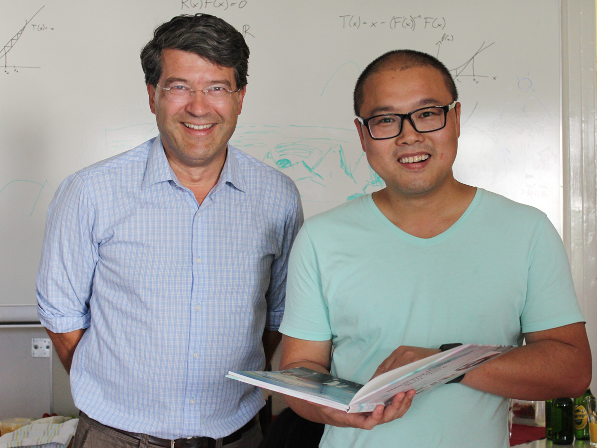
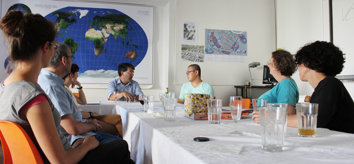
The long-standing staff member of our Research Group Dr Haosheng Huang is leaving TU Wien at the end of June to join the University of Zurich for his next career step.
Dr Huang was contributing heavily to the succesful work of our research group through his research contributions in several projects, his publications and the classes he gave over the last years.
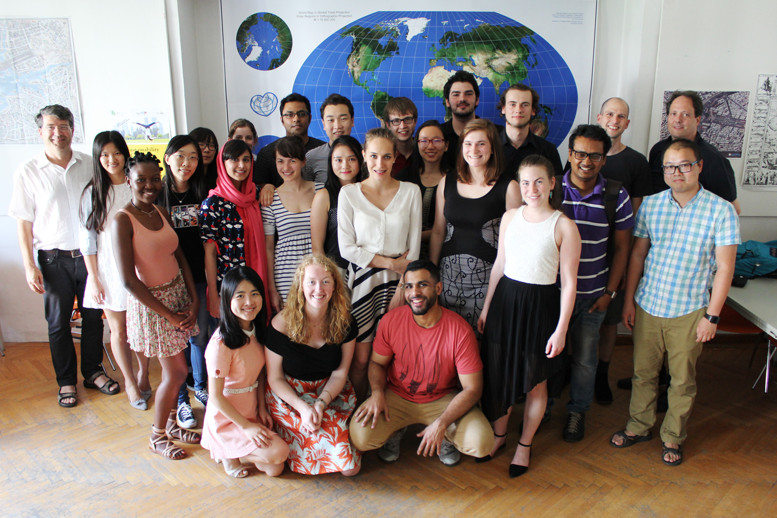
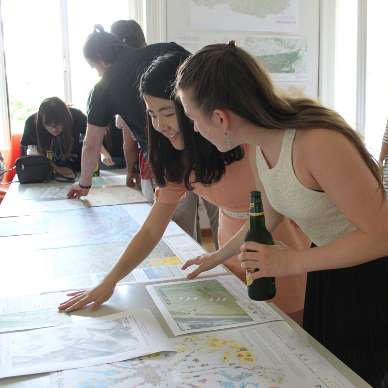
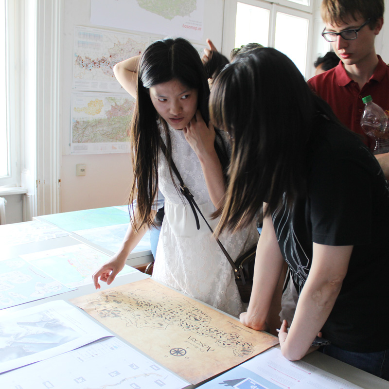
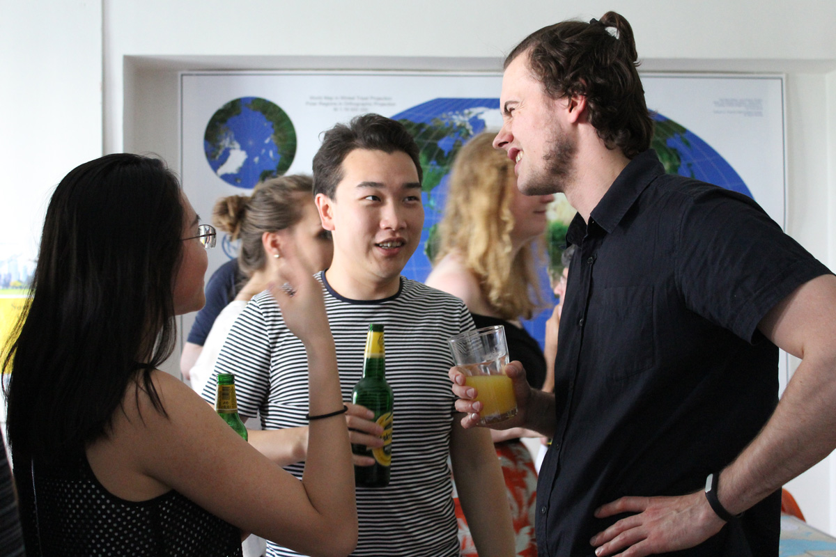
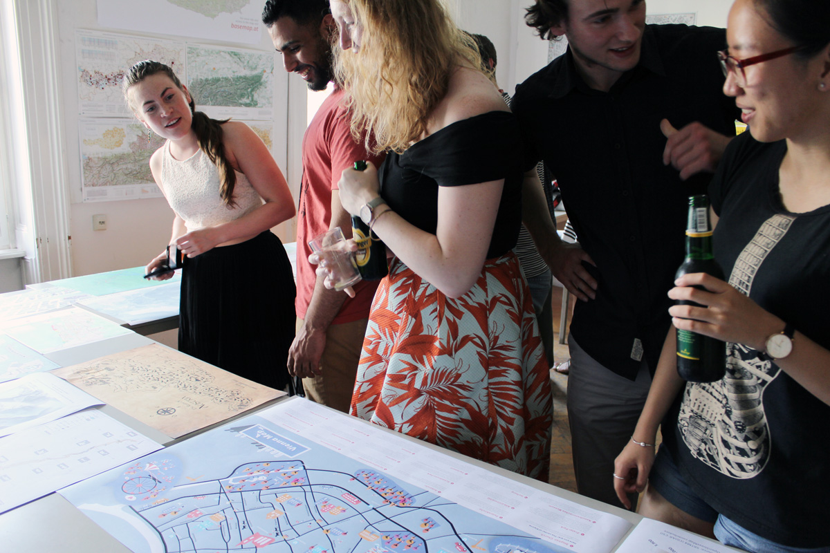
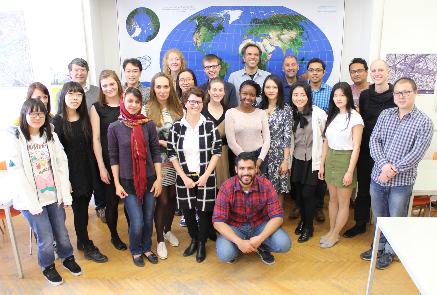
The fifth intake of the International Master Programme on Cartography has finished the “Vienna Semester” and is now heading to TU Dresden for the third semester. We organized a farewell session to review the semester and to showcase results of their hard work in this semester.
We wish them all the best!
To find out more about the International Master in Cartography, please visit cartographymaster.eu.
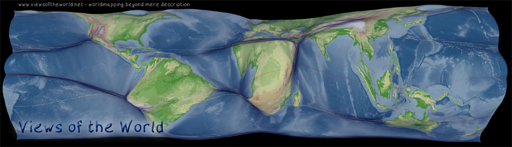
We are happy to announce a CartoTalk by Benjamin Hennig on Tuesday, 31 May 2016, where he will talk about his main research field: Cartograms.
Benjamin Hennig is the author of www.viewsoftheworld.net
We need new maps: In a world increasingly influenced by human action and interaction, we still rely heavily on mapping techniques that were invented to discover unknown places and explore our physical environment. Starting from how people can be put on the map in new ways, this talk outlines the development of a novel technique that stretches a map according to quantitative data, such as population. The new maps are called gridded cartograms as the method is based on a grid onto which a density-equalising cartogram technique is applied. The underlying grid ensures the preservation of an accurate geographic reference to the real world. It allows the gridded cartograms to be used as basemaps onto which other information can be mapped. This applies to any geographic information from the human and physical environment. As demonstrated through the examples, the new maps can show any quantitative geospatial data, such as wealth, rainfall, or even the environmental conditions of the oceans. The new maps also work at various scales, from a global perspective down to the scale of urban environments. The gridded cartogram technique is proposed as an alternative map projection that is a viable and versatile alternative to other conventional map projections. The maps based on this technique open up a wide range of potential new applications to rediscover the diverse geographies of the world. They have the potential to allow us to gain new perspectives through detailed cartographic depictions.
Benjamin is a geographer educated at the Universities of Cologne & Bonn and the Alfred Wegener Institute for Polar and Marine Research (Bremerhaven/Germany) where he conducted research on hyperspectral remote sensing applications in coastal ecosystems. After working as a research assistant and lecturer in human and urban geography at the Urban and Social Geography Working Group of the Department of Geography, University of Cologne (Germany) he joined the Social and Spatial Inequalities Research Group at the University of Sheffield (UK). He completed his PhD as part of the Worldmapper project with research on visualising the social dimensions of our planet. He then worked as a research assistant and then as a senior research fellow at the Department of Geography at the University of Sheffield investigating social inequalities, humanity’s impact on Earth, global sustainability and new concepts for the visualisation of these issues and now continues this work as a senior research fellow in the School of Geography and the Environment at the University of Oxford. Here he also is a member of the research cluster on Transformations: Economy, Society and Place. – more about Benjamin
Tuesday, 31 May 2016, 13:30 (1.30pm) Gußhausstraße 25 EI5 Hochenegg
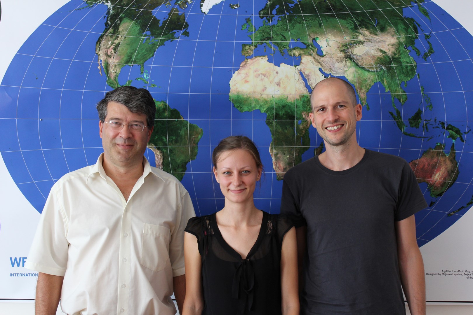
On April 14, the Research Group Cartography hosted a meeting of representatives of all partner universities of the Master of Cartography programme. We were happy to welcome programme coordinator Juliane Cron from Technische Universität München, Dirk Burghardt from TU Dresden and Corné van Elzakker from ITC, University of Twente.